
The San Andreas Fault runs about 750 miles through California, the seam where the Pacific plate grinds past North America. Millions of people live within reach of it, and its history includes the deadliest earthquake in American history. From desert lakes to coastal bays, the fault has shaped the state’s landscape, and scientists have even drilled straight into it to understand what comes next.
Read next on Morning Overview: The FAA wants $2.39 million from a flight school it says flew a Cessna about 280 times with an unapproved part
San Andreas Fault: A 750-Mile Seam

The San Andreas Fault is a right-lateral strike-slip transform fault that extends roughly 750 miles through California, forming part of the boundary between the Pacific and North American plates. The two sides slip past each other at an average of about 0.8 to 1.4 inches a year.
Berkeley professor Andrew Lawson identified it in 1895 and, after the 1906 earthquake, traced the rupture along it. The risk now is concentrated in the south: the central segment broke in 1857 and the northern in 1906, but the southern section near Los Angeles has not seen a similar rupture in at least 300 years. A 2013 USGS forecast gave a 7 percent chance of a magnitude 8.0 or larger quake on the fault within 30 years.
Carrizo Plain: Where the Fault Is Easy to See
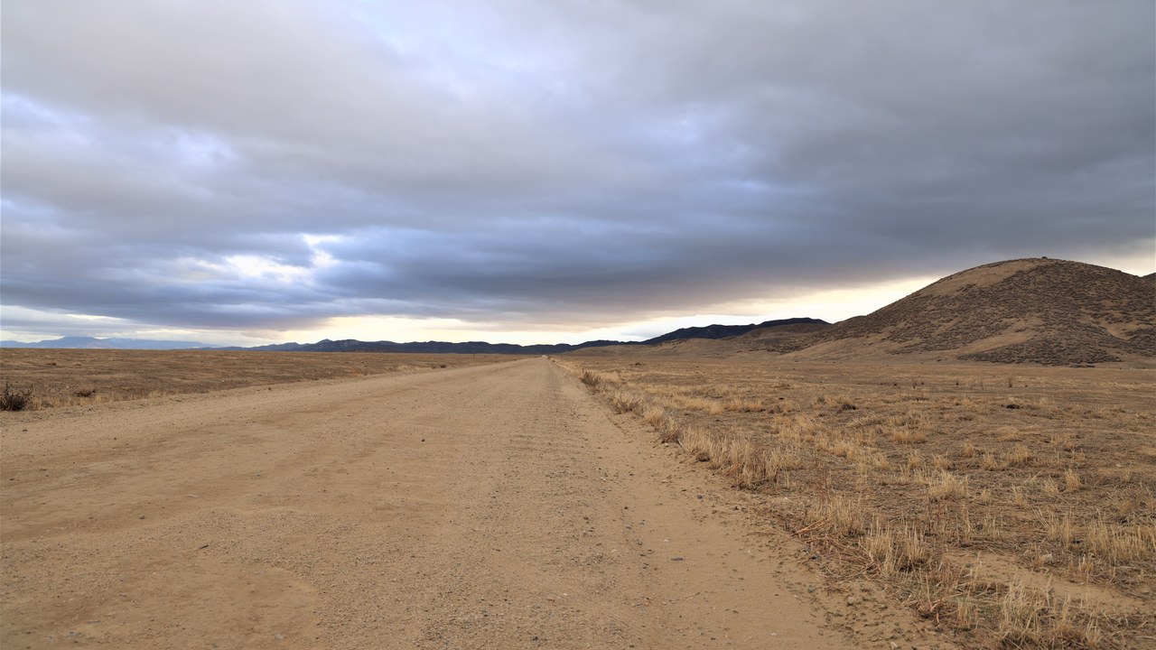
The Carrizo Plain is an easily accessible place to see surface fractures of the San Andreas Fault, clearly visible along the plain’s eastern side at the foot of the Temblor Range, best seen in early morning or evening light when shadows sharpen the terrain.
The plain is about 50 miles long and up to 15 miles wide, roughly 100 miles northwest of Los Angeles, and follows the fault northwest from Maricopa. Much of it lies in the 246,812-acre Carrizo Plain National Monument, the largest single native grassland left in California, known for its spring wildflowers and Chumash pictographs at Painted Rock.
1906 San Francisco earthquake: The Deadliest Quake in U.S. History
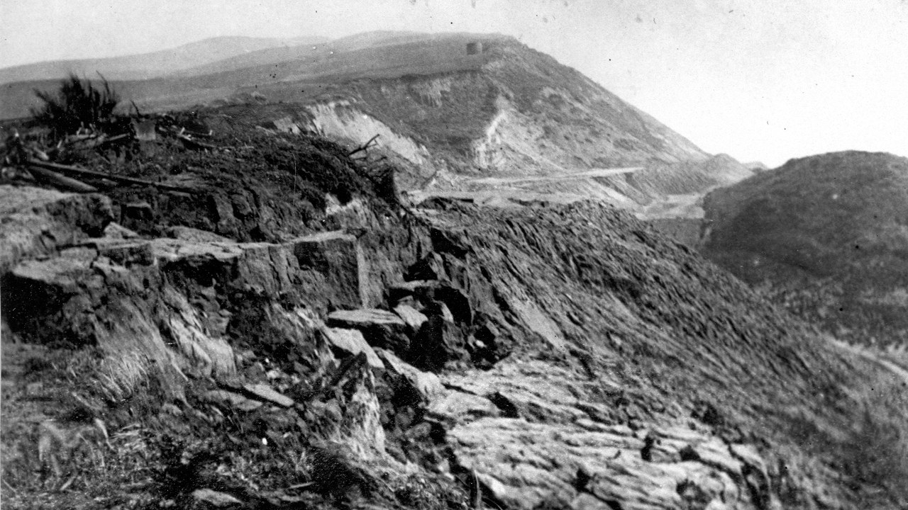
A magnitude 7.9 earthquake struck the coast of Northern California at 5:12 a.m. on April 18, 1906, producing violent shaking from Eureka south to the Salinas Valley.
Fires broke out across San Francisco and burned for days. More than 3,000 people died and over 80 percent of the city was destroyed, making it the deadliest earthquake in U.S. history and California’s greatest loss of life from a natural disaster. Lawson’s mapping of fences and roads sliced in half by the rupture tied the disaster to the fault he had found 11 years earlier.
Salton Sea: Where the Fault Ends in the South
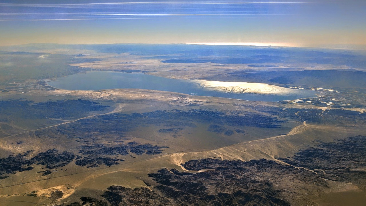
At its southern end, the Salton Sea lies on the San Andreas Fault within the Salton Trough, which stretches to the Gulf of California. The shallow, highly saline lake covers about 318 square miles in Riverside and Imperial counties.
Here the plate boundary changes character, from sliding to pulling apart, and the trough has been rifting open like a new mid-ocean ridge. The modern lake formed in 1905, when Colorado River floodwater broke through an irrigation canal. It became a resort area in the 1950s but has since suffered fish and bird die-offs and toxic dust as it shrinks.
Point Reyes: A Peninsula on the Move
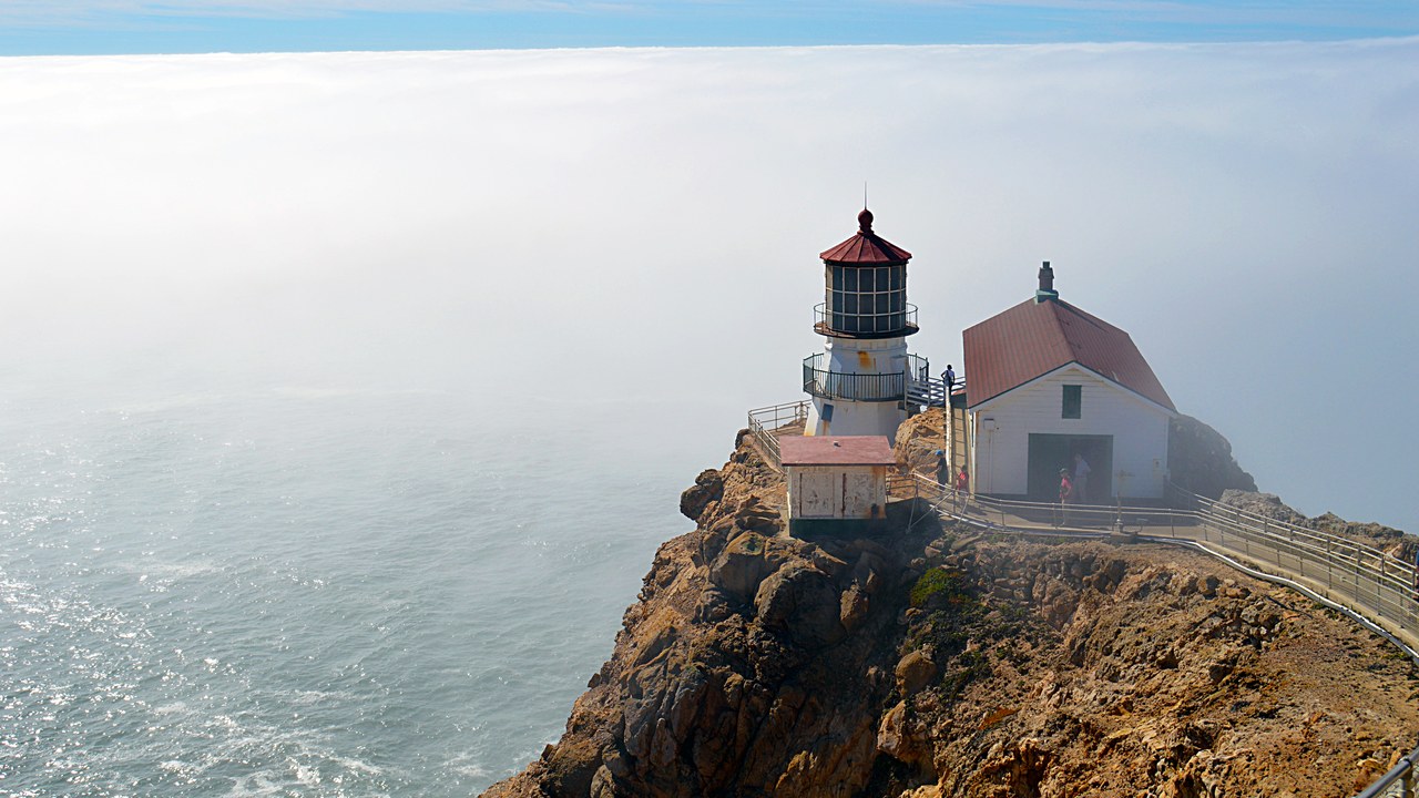
Point Reyes, about 30 miles west-northwest of San Francisco, sits on the Pacific side of the fault. The entire Point Reyes Peninsula is a piece of the Salinian Block transported northward by the San Andreas Fault, with a granite core unlike the land east of Tomales Bay.
Those granite rocks were once joined to the Tehachapi Mountains, about 350 miles to the south. The movement is not only ancient history: in the 1906 earthquake, Point Reyes moved north 21 feet in a matter of moments. Most of the peninsula and its headlands are now protected as Point Reyes National Seashore.
Cajon Pass: A Pass Carved by the Fault
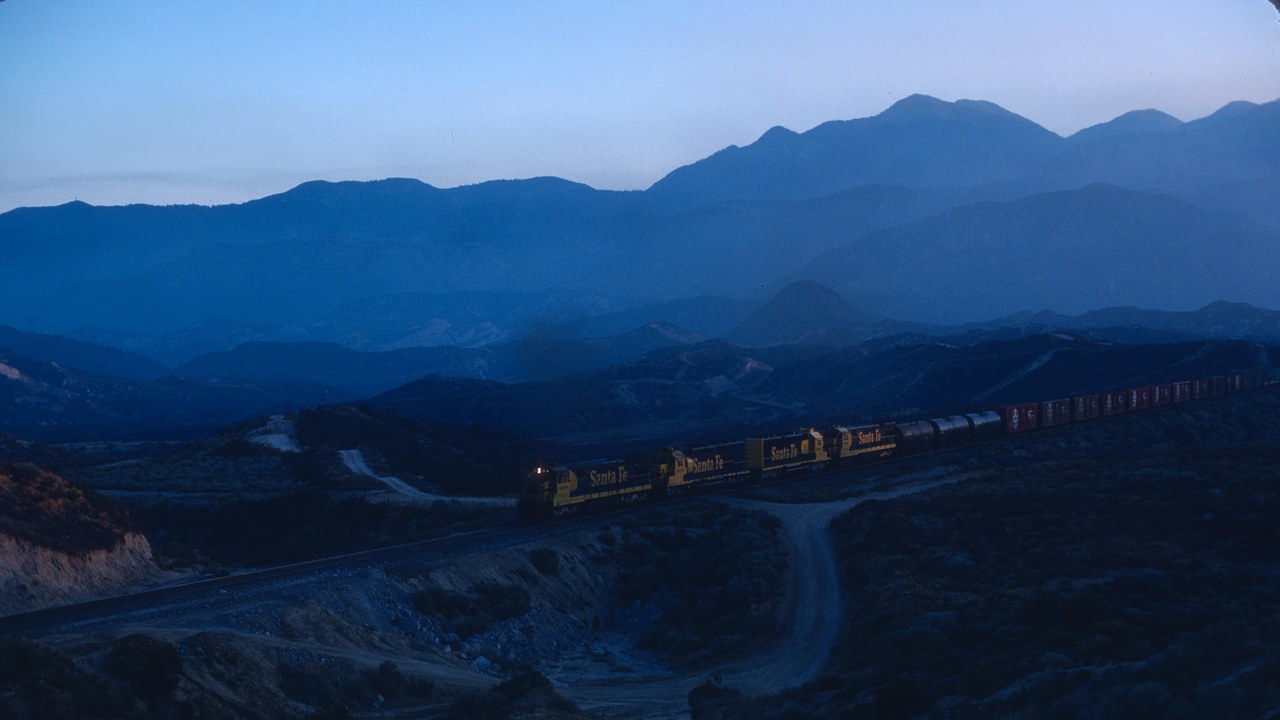
Cajon Pass, created by the movements of the San Andreas Fault, lies between the San Bernardino and San Gabriel mountains at an elevation of 3,777 feet. It is the key link from the San Bernardino area to the Victor Valley and on toward Las Vegas.
State Route 138 and the BNSF and Union Pacific rail lines run through it, while Interstate 15 crosses at the nearby Cajon Summit. The route is old: Mormon settlers came through by covered wagon in 1851. Today the pass is one of the places where major transportation lines cross the fault directly.
Tomales Bay: A Bay Drawn Along the Fault Line
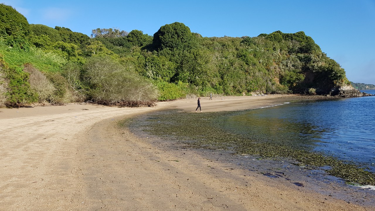
Tomales Bay is a long, narrow inlet of the Pacific Ocean in Marin County, about 15 miles long and averaging nearly a mile wide, with shallow water averaging 18 feet deep.
Its straight, narrow shape tracks the fault line and separates the Point Reyes Peninsula from the Marin mainland. The bay forms the eastern boundary of Point Reyes National Seashore, and the land on either side is made of entirely different rock, granite to the west and the terrain of the mainland to the east, a visible sign of how far one side has traveled.
1989 Loma Prieta earthquake: The World Series Earthquake
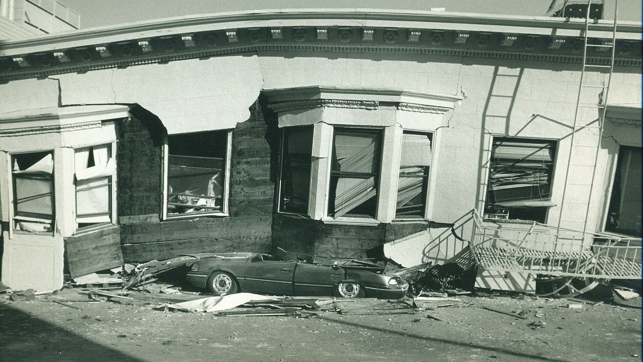
On October 17, 1989, at 5:04 p.m., the Loma Prieta earthquake struck the Central Coast on a section of the San Andreas Fault System near Santa Cruz. The magnitude 6.9 quake killed 63 people and injured 3,757.
That segment had been so quiet since 1906 that it was designated a seismic gap. Liquefaction heavily damaged San Francisco’s Marina District. Because the quake hit just before a World Series game between the Giants and the Athletics, rush-hour traffic was unusually light, which almost certainly prevented a larger loss of life when major Bay Area structures failed.
San Andreas Fault Observatory at Depth: Drilling Into the Fault
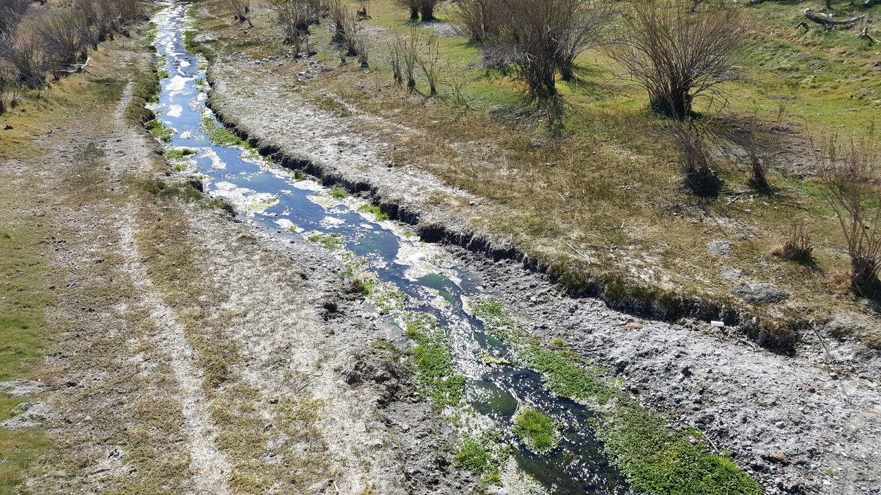
The San Andreas Fault Observatory at Depth was a research project that began in 2002 to collect data for analyzing future earthquakes. Near the town of Parkfield, it drilled a 1.4-mile pilot hole and a 2-mile main hole, installing sensors in a borehole that cut directly through the fault.
Drilling ended in 2007, and samples and data from the project shed new light on the rocks and mechanics of the fault zone. The location was chosen for a reason: the fault near Parkfield produces a magnitude 6 earthquake roughly every 22 years, making it one of the most important places in the world for earthquake research.
More from Morning Overview
- Arizona’s governor declared a statewide emergency after Flagstaff logged its wettest Nov. 1 on record
- Zero Motorcycles unveiled an electric motorcycle targeted at under $8K and a street-legal dirt bike at EICMA
- New FCC rules on how people can stop robocalls and texts take effect Nov. 25
- Neanderthals in Spain carved a wooden object that matches nothing archaeologists have ever found
