
On the morning of May 18, 1980, the north face of Mount St. Helens slid away and the volcano exploded sideways across the forests of southwest Washington. The eruption killed 57 people and reshaped rivers, lakes and towns downstream, and more than four decades later engineers are still managing the lake, rivers and sediment the blast left behind, and the ruined landscape is now a protected monument.
Read next on Morning Overview: Winter weather advisories cover I-80, I-70 and the Bighorns with up to 15 inches of snow
1980 eruption of Mount St. Helens: 8:32 A.M., May 18, 1980
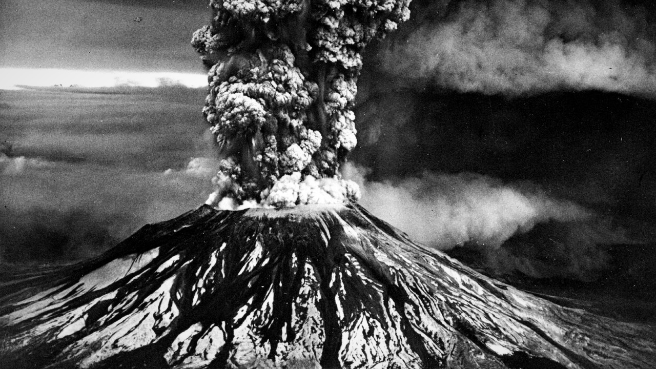
At 8:32 a.m. on May 18, 1980, Mount St. Helens experienced a catastrophic explosive eruption, the first in the contiguous United States since Lassen Peak in 1915. An earthquake caused the bulging north face to slide away in the largest landslide in recorded history, releasing a blast of gas, steam and pulverized rock toward Spirit Lake.
An eruption column rose 80,000 feet and dropped ash across 11 states and parts of Canada. Melting snow and glaciers sent lahars nearly 50 miles to the Columbia River. The thermal energy released equaled 26 megatons of TNT, and the damage topped $1 billion, about $3.6 billion in 2025 dollars.
Mount St. Helens: A Mountain 1,300 Feet Shorter
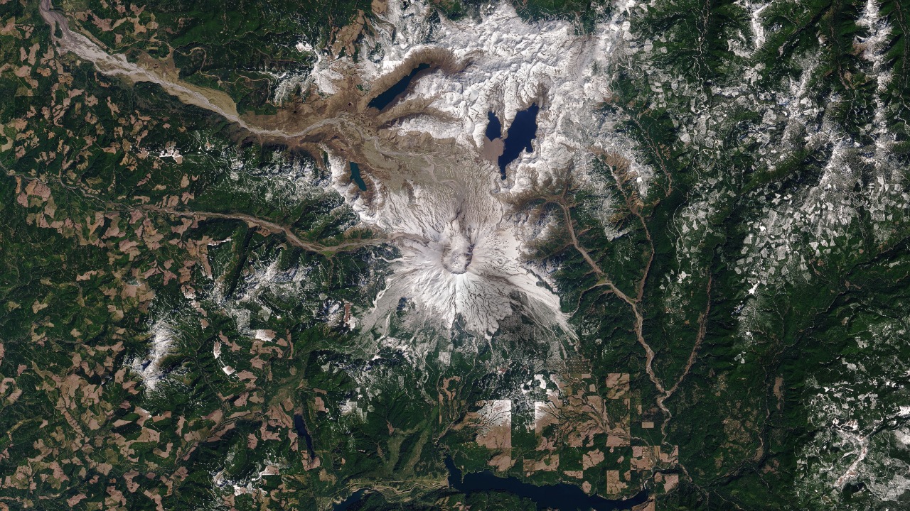
The mountain itself never recovered its old shape. The May 18, 1980, eruption is the most economically destructive volcanic event in U.S. history, destroying 200 homes, 47 bridges, 15 miles of railway and 185 miles of highway, and the collapse cut the summit from 9,677 to 8,363 feet.
What remains is a mile-wide horseshoe-shaped crater open to the north. The volcano stayed restless, with continuous activity until 2008, and geologists predict future eruptions there will be more destructive because the shape of the lava domes requires more pressure to break through. The mountain is still climbed year-round.
Spirit Lake (Washington): The Lake Engineers Still Manage
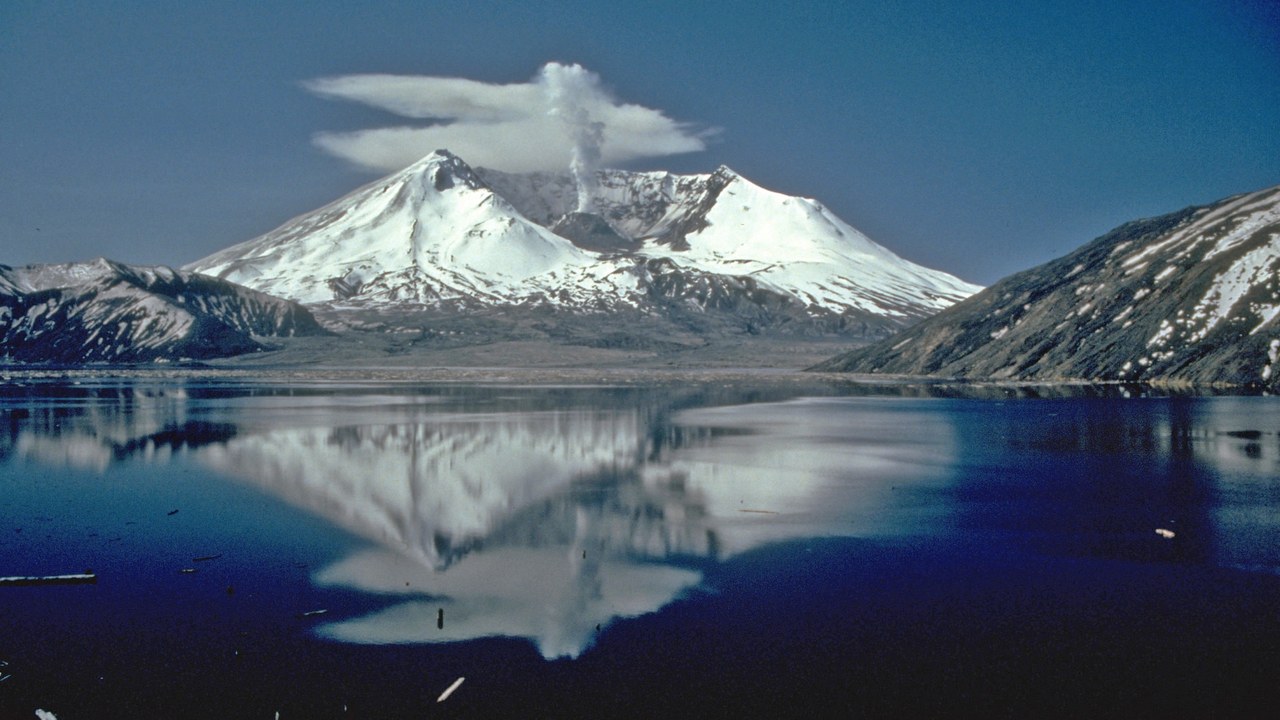
Before 1980, Spirit Lake north of the volcano was ringed by six camps and several lodges. Its water level is now held at about 3,406 feet by the Spirit Lake Outlet Tunnel, an 8,465-foot gravity tunnel through Harry’s Ridge completed in 1985, because the lake is dammed by avalanche debris from the eruption.
Had the level not been stabilized, that debris dam would have breached and caused catastrophic flooding down the Toutle River Valley. Repairs to the aging tunnel restarted in 2024, and a July 2026 Forest Service draft environmental impact statement proposes a new pressurized tunnel and lowering the lake by 40 feet.
Toutle River: A River Buried in Sediment
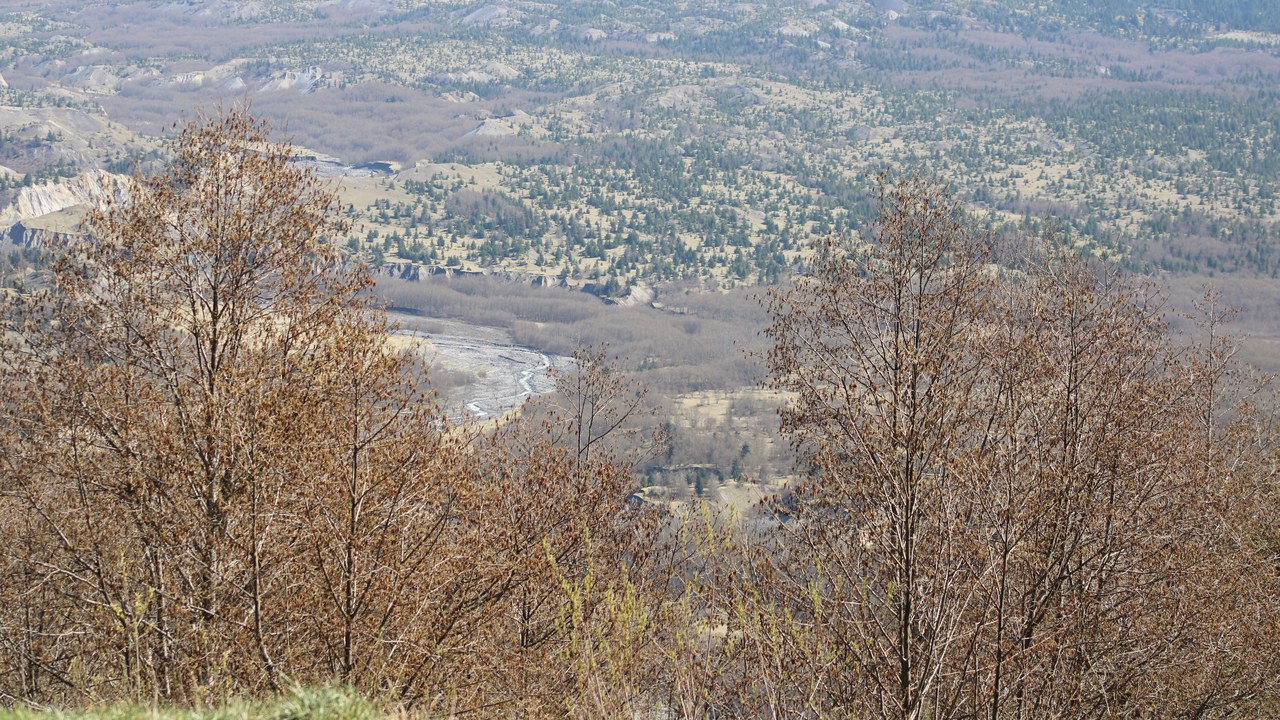
The Toutle River, a 17.2-mile tributary of the Cowlitz, was altered by the 1980 eruption and subsequent flows of ash and other debris. On May 18 alone, volcanic mudflows sent two large floods down the South Fork and then the North Fork, about nine hours apart.
The lahars poured vast amounts of sediment into the river. The Army Corps of Engineers dredged the channel and built the $65 million Toutle River Sediment Retention Structure on the North Fork to keep debris from moving downstream. That structure is one of the clearest examples of the eruption still dictating how the region’s rivers are managed.
Mount St. Helens National Volcanic Monument: A Disaster Zone Left on Purpose
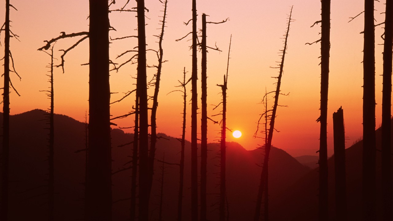
Rather than clear the blast zone, Congress preserved it. The 110,000-acre Mount St. Helens National Volcanic Monument was established on August 27, 1982, set aside for research, recreation and education, with the environment left to respond naturally to the disturbance.
Windy Ridge opened to visitors by 1983, and climbing to the summit from the south side has been allowed since 1986. Washington now recognizes May as Volcano Awareness Month, with events at the mountain and around the region to discuss eruption safety and remember those killed. The monument has become a decades-long natural experiment in how life returns.
Johnston Ridge Observatory: The Ridge Named for a Scientist
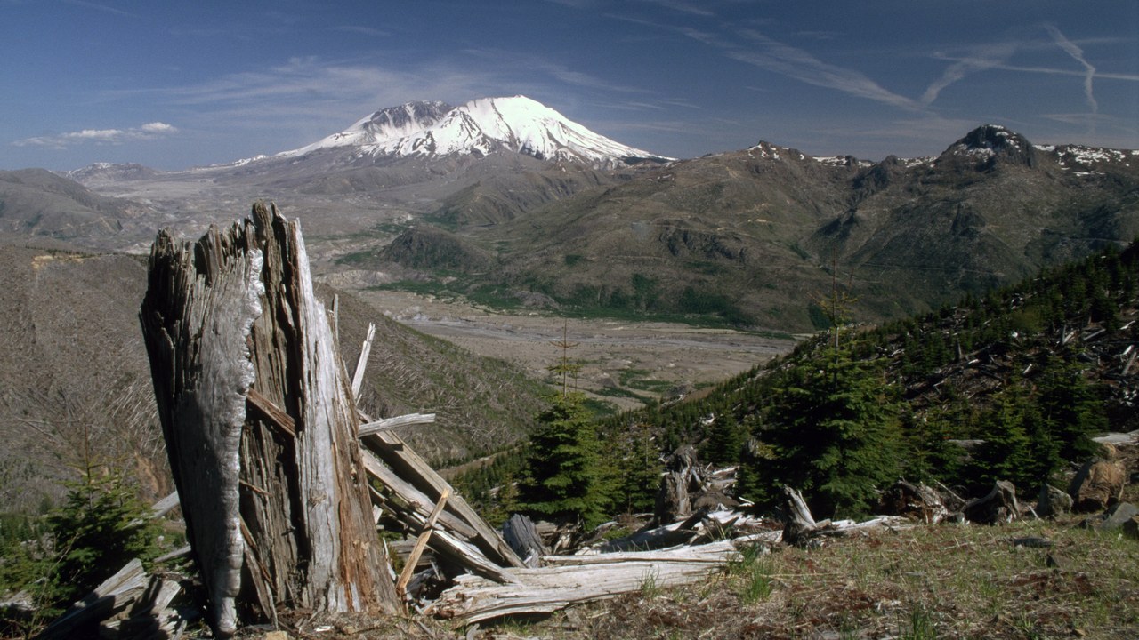
The Johnston Ridge Observatory sits near the site of volcanologist David A. Johnston’s camp on the morning of May 18, 1980. It opened in 1997 at the end of State Route 504, four miles from the mountain.
Its exhibits cover the volcano’s geologic history, eyewitness accounts of the explosion and the science of monitoring volcanic activity. A half-mile paved trail looks straight into the crater and across the lava dome, pumice plain and landslide deposit. Standing where Johnston stood, visitors can see how little cover the ridge offered against a blast aimed directly at it.
David A. Johnston: “Vancouver! Vancouver! This Is It!”
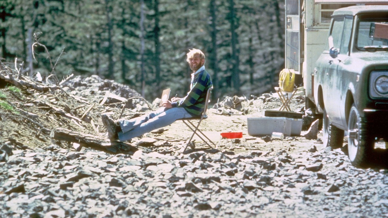
David A. Johnston was a USGS volcanologist killed by the 1980 eruption while manning an observation post six miles from the mountain. He was the first to report the eruption, radioing “Vancouver! Vancouver! This is it!” before the lateral blast swept him away. His body was never found.
Johnston’s work, and that of his USGS colleagues, had persuaded authorities to close the mountain to the public before the eruption and to keep it closed despite heavy pressure to reopen. Two observatories now carry his name, one in Vancouver, Washington, and one on the ridge where he died.
Harry R. Truman: The Man Who Would Not Leave

Harry R. Truman, the 83-year-old owner of Mount St. Helens Lodge at Spirit Lake, became a folk hero by refusing to evacuate his home despite repeated orders in the weeks before the eruption. He insisted the danger had been exaggerated by geologists.
On May 18, 1980, a pyroclastic flow overtook his lodge and buried the site under 150 feet of volcanic debris. Truman was among the 57 people killed. His refusal, and the lodge he would not abandon on the shore of Spirit Lake, made him one of the most famous figures of the disaster.
Lahar: The Mudflows That Reached the Columbia
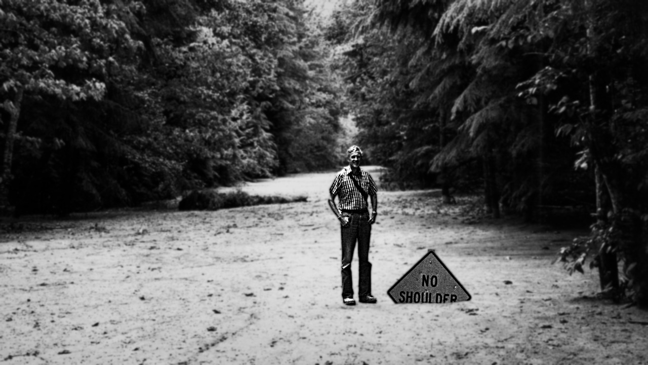
Much of the damage downstream came from lahars, violent mudflows of volcanic material, rocky debris and water that rush down river valleys from a volcano. At St. Helens, melting snow, ice and entire glaciers generated a series of large lahars on the day of the eruption.
Those flows traveled nearly 50 miles to the Columbia River. Lahars can move tens of meters per second and destroy almost any structure in their path, which is why the same hazard now dominates planning around other ice-capped Cascade volcanoes like Mount Rainier.
Cowlitz River: Where the Debris Ended Up
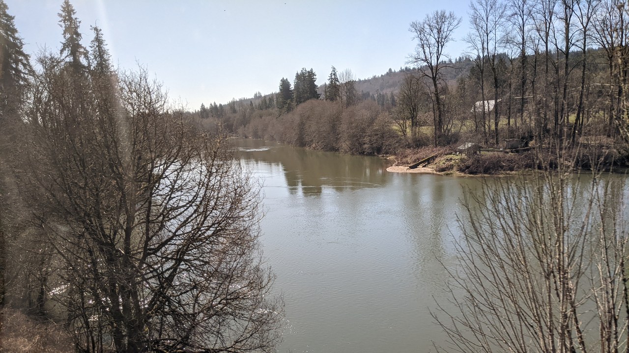
The Cowlitz River collects water from the slopes of Mount Rainier, Mount Adams and Mount St. Helens across a 2,586-square-mile basin. Its tributary the Toutle River was overtaken by volcanic mudflows during the May 1980 eruption, carrying the eruption’s debris toward Kelso, Longview and the Columbia.
The roughly 105-mile river is otherwise known for its smelt runs, which give Kelso its nickname as the Smelt Capital of the World. Upstream, the Toutle’s $65 million sediment retention structure exists to stop eruption debris from continuing down into this system, a reminder that the 1980 blast still shapes how water moves through the whole basin.
More from Morning Overview
- Two Kentucky residents died when a small plane crashed at Missouri’s Lake of the Ozarks, and the NTSB is investigating
- A handful of car transmissions are so tough that mechanics say they almost never die
- Melting permafrost is setting off a newly identified kind of catastrophic landslide, scientists say
- Cadillac cut the price of its cheapest EV, which goes up to 317 miles on a charge
