
A chain of snow-capped volcanoes runs from the Canadian border into Northern California, and two of the West Coast’s biggest metro areas sit within sight of several of them. The Cascade peaks are not extinct scenery. Most are classed as active or potentially active, several have erupted within recorded history, and their glaciers can turn even a modest eruption into a flood of mud.
Read next on Morning Overview: Melting permafrost is setting off a newly identified kind of catastrophic landslide, scientists say
Mount Rainier: The Most Dangerous Neighbor
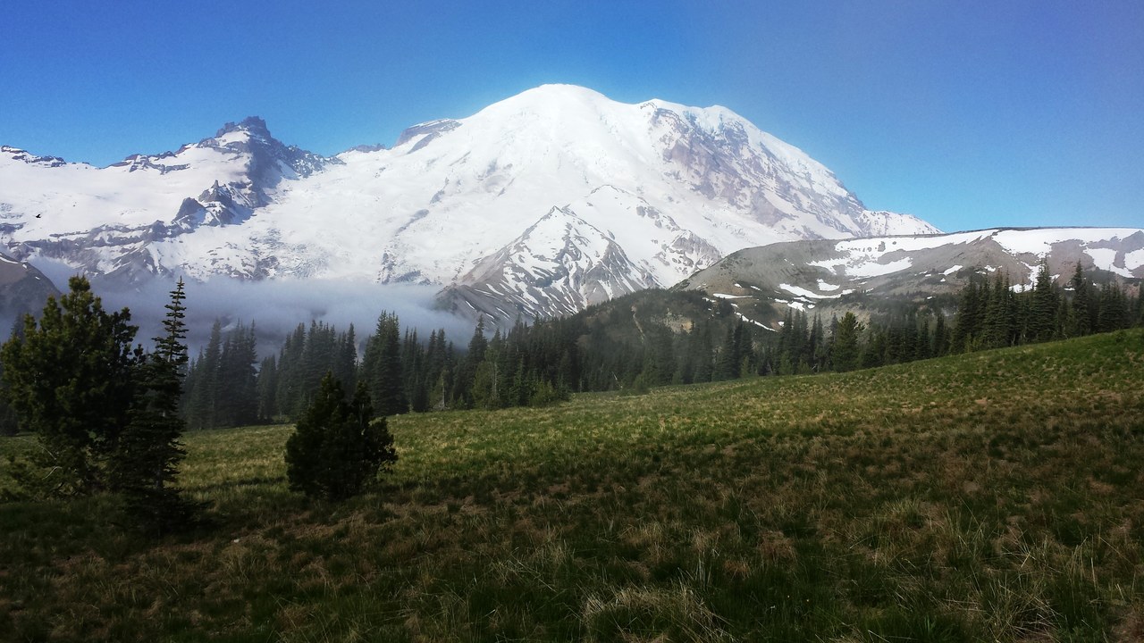
Mount Rainier rises to 14,406 feet about 59 miles south-southeast of Seattle, and its height and ice make it the region’s biggest worry. Because of its eruption odds and its closeness to a major urban area, Mount Rainier is considered one of the most dangerous volcanoes in the world and sits on the international Decade Volcano list.
The threat is less lava than mud. Rainier’s heavy glacial ice could feed massive lahars down the Puyallup, Carbon, White, Nisqually and Cowlitz valleys. A 2008 U.S. Geological Survey report put about 80,000 people and their homes inside Rainier’s lahar-hazard zones.
Mount St. Helens: The One That Already Blew
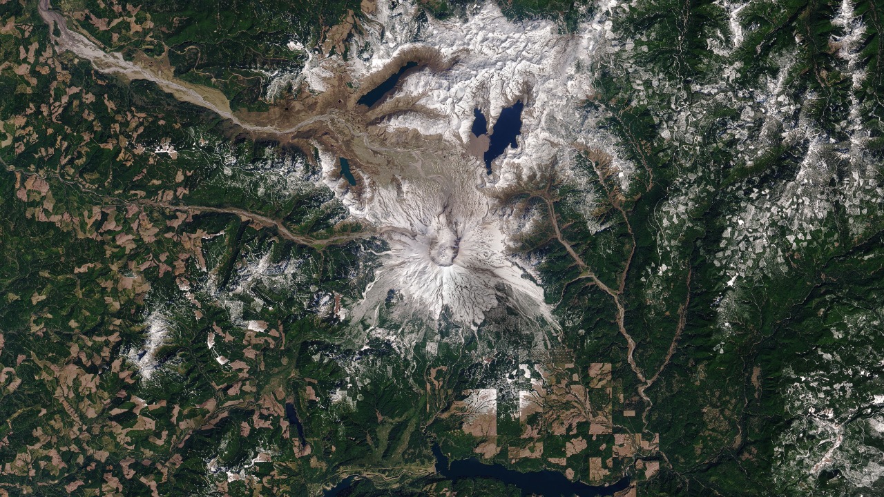
Mount St. Helens sits 52 miles northeast of Portland and 98 miles south of Seattle, and it is the Cascade volcano that proved the danger is real. Its May 18, 1980, eruption is the most economically destructive volcanic event in U.S. history, killing 57 people and destroying 200 homes, 47 bridges and 185 miles of highway.
A magnitude 5.1 earthquake triggered a debris avalanche that tore open the north flank, cutting the summit from 9,677 to 8,363 feet and leaving a mile-wide crater. Activity continued on and off until 2008, and geologists expect future eruptions there to be more destructive.
Mount Hood: Oregon’s Likeliest Eruption
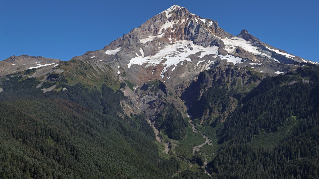
Mount Hood stands 11,249 feet tall about 50 miles east-southeast of Portland, the highest point in Oregon. It is also considered the Oregon volcano most likely to erupt, with odds of an eruption in the next 30 years estimated at 3 to 7 percent, which is why the USGS calls it potentially active.
The mountain carries 12 named glaciers and snowfields and draws an estimated 10,000 climbers a year, along with skiers at Timberline Lodge, which offers the only year-round lift-served skiing in North America. Those same snowfields are what would turn any eruption into a mudflow risk for the valleys below.
Mount Baker: Steaming Above Bellingham
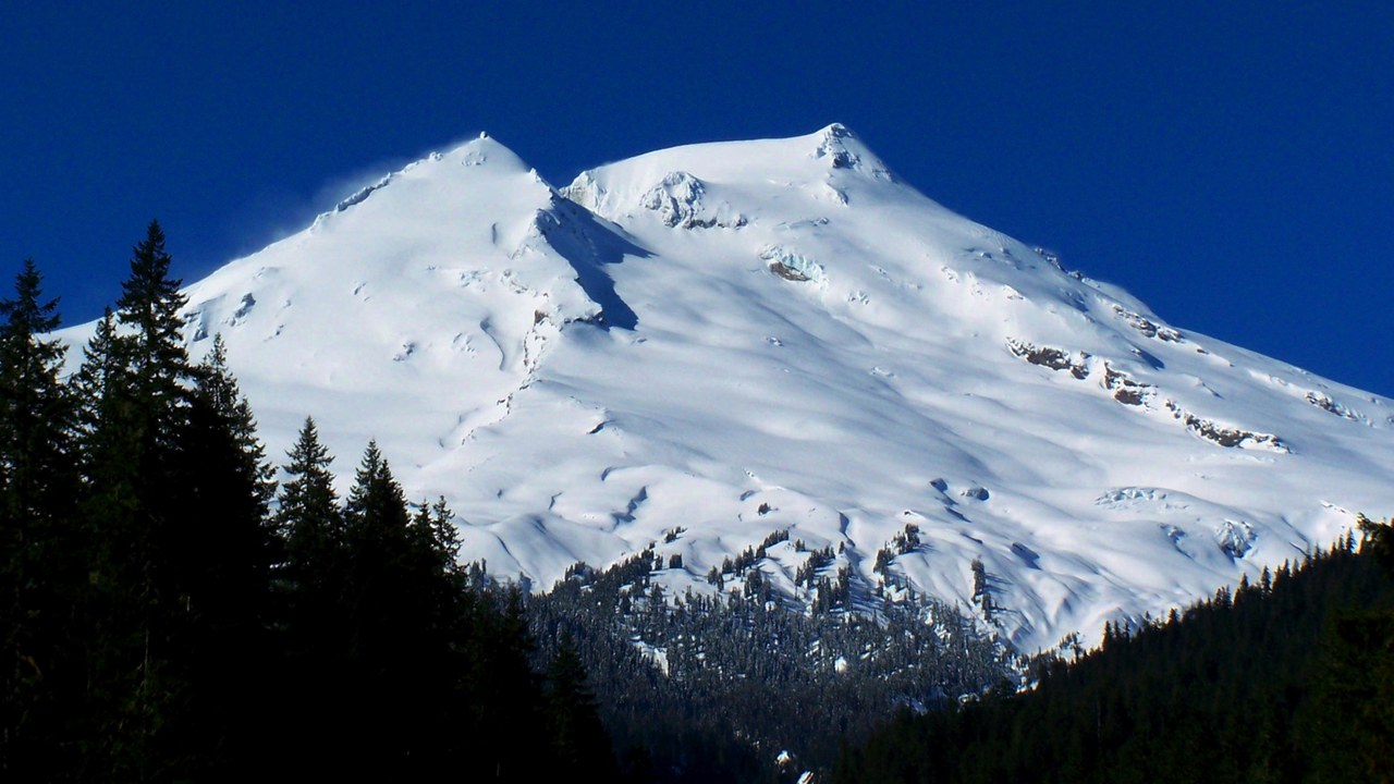
Mount Baker is a 10,781-foot glacier-covered volcano about 30 miles east of Bellingham, and it has the second-most thermally active crater in the Cascade Range after Mount St. Helens. Its current cone is likely no more than 140,000 years old.
After Rainier, Baker carries the heaviest ice load of any Cascade volcano, with more snow and ice than all the others except Rainier combined. Nearby Mount Baker Ski Area set a world record in 1999 with 1,140 inches of snow in one season. The peak is visible from Seattle on clear days and from Greater Vancouver across the border.
Glacier Peak: The Hidden Threat Near Seattle
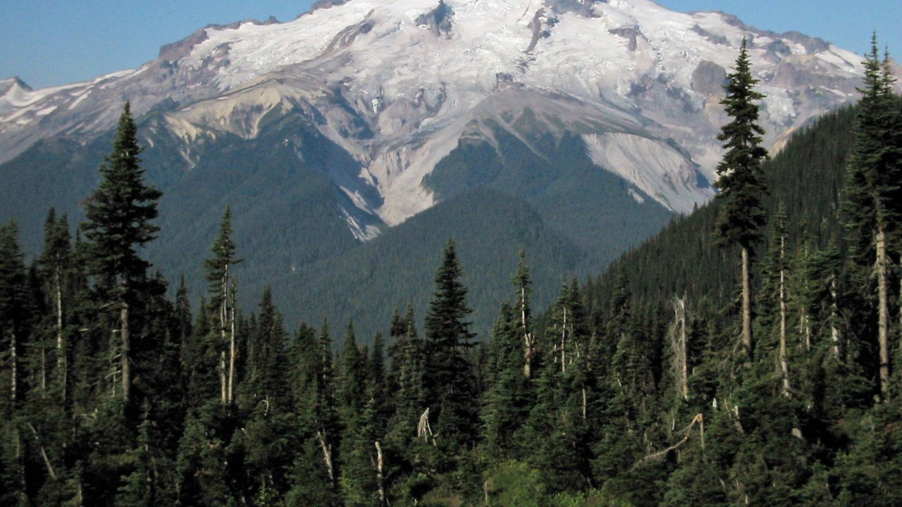
Glacier Peak sits only 70 miles northeast of downtown Seattle, closer to northern Seattle than Rainier, yet it is easy to miss because it lies deeper in the range and is almost 4,000 feet shorter. Glacier Peak is the second most active of Washington’s volcanoes, with eruptions as recent as about 1700.
Since the last ice age it has produced some of the largest and most explosive eruptions in the state, erupting explosively five times in the past 3,000 years. Relatively less is known about it than its famous neighbors, which is part of why scientists treat its remote location as no guarantee of safety.
Mount Shasta: California’s Giant Cone
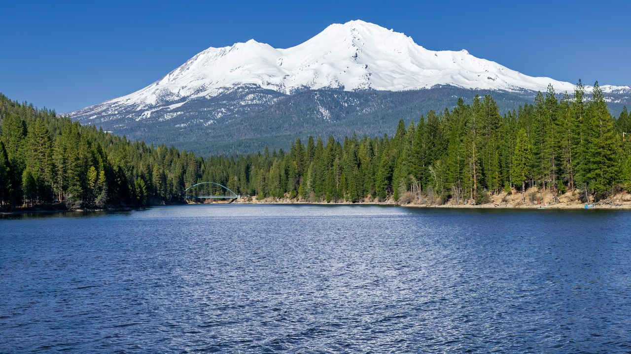
Mount Shasta, at 14,179 feet in Siskiyou County, is the most voluminous stratovolcano in the Cascade Volcanic Arc, with an estimated volume of 85 cubic miles. Its last major eruption came 3,000 years ago, but minor eruptions occurred as recently as 200 years ago.
At least 70 lahars have been recorded on Shasta in the last 1,000 years, and the volcano has an estimated 3.5 percent chance of erupting by 2049. A modern eruption would likely damage key transportation and water infrastructure near Interstate 5, and the USGS rates Shasta a very high threat volcano.
Lassen Peak: The 1915 Blast
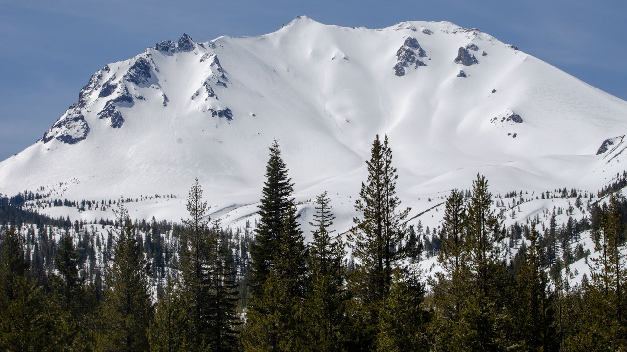
Lassen Peak, a 10,457-foot lava dome in Northern California, is the southernmost active volcano in the Cascades. On May 22, 1915, a powerful explosive eruption at Lassen Peak devastated nearby areas and spread ash as far as 280 miles to the east, the strongest of a series of eruptions from 1914 to 1917.
Lassen and Mount St. Helens were the only two volcanoes in the contiguous United States to erupt during the 20th century. Lassen is dormant, not dead: its magma chamber can still erupt, so the California Volcano Observatory keeps the area under sensor watch for lava, pyroclastic flows and lahars.
Mount Adams (Washington): The Quiet Giant Between Two Risks
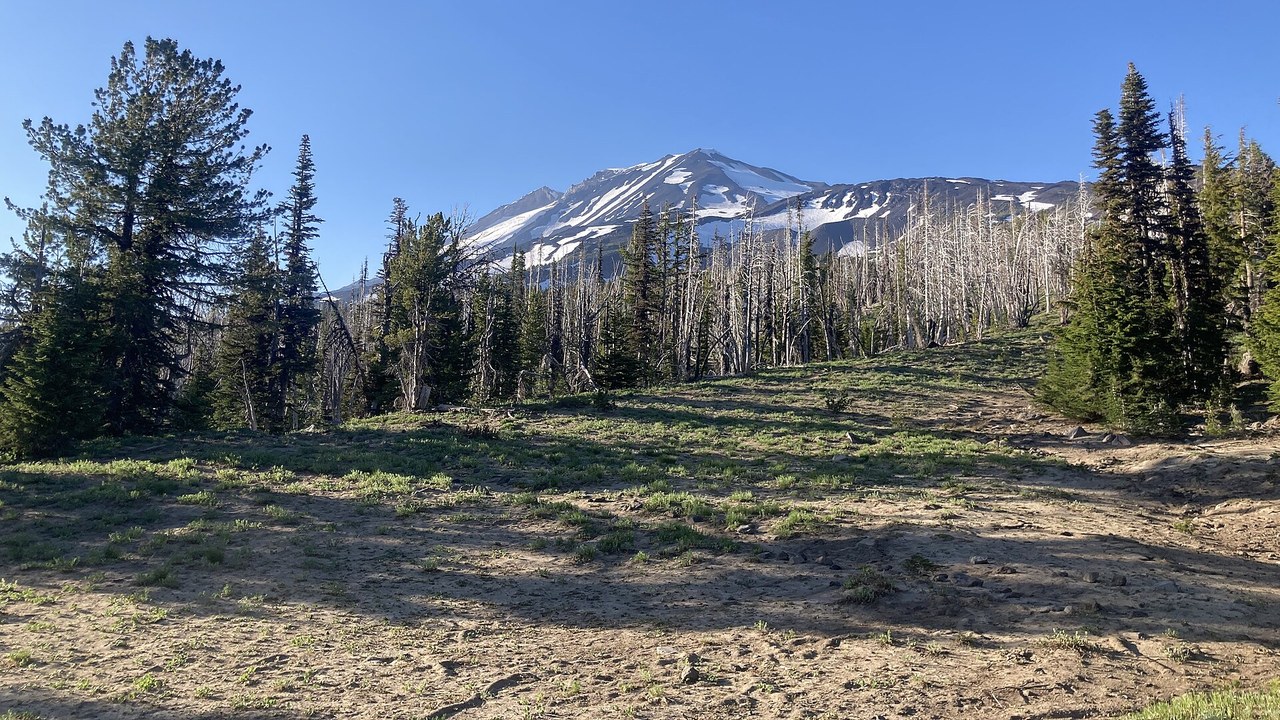
Mount Adams reaches 12,276 feet, the second-highest mountain in Washington, and sits close to two more active neighbors, Mount St. Helens and Mount Rainier. Its modern cone took shape around 10,000 years ago, and its last known lava flow was about 1,000 years ago.
Adams still carries twelve named glaciers, and its deeply eroded flanks drain into the Cispus, Klickitat and Lewis rivers. That combination gives it the potential for lahars, pyroclastic flows and ashfall even without a recent eruption, which is why it stays on the watch list rather than off it.
Three Sisters (Oregon): The Ground That Started to Rise
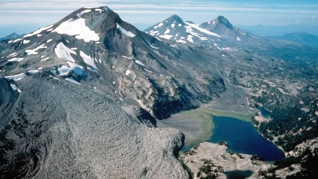
The Three Sisters are a trio of peaks above 10,000 feet in central Oregon. North and Middle Sister have been quiet for 14,000 years, but South Sister last erupted about 2,000 years ago and could erupt in the future, threatening life in the region.
In 2001, satellite imagery detected the ground swelling near South Sister, and the USGS responded by improving monitoring in the area. The peaks sit about 10 miles south of the town of Sisters and are popular with climbers, which makes the uplift a reminder that a calm-looking summit can still be changing underground.
Crater Lake: What Happens When One Collapses
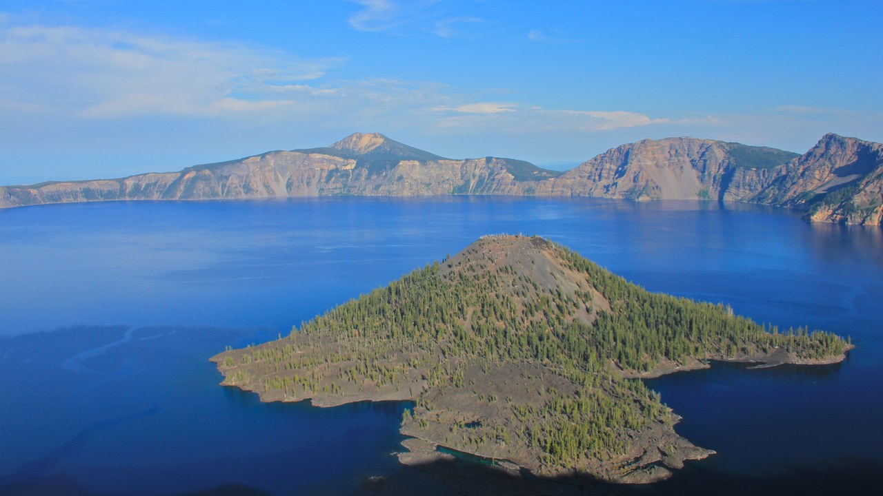
Crater Lake shows the far end of what a Cascade volcano can do. The lake partly fills a 2,148-foot-deep caldera formed around 7,700 years ago by the collapse of Mount Mazama, once a large volcano in what is now south-central Oregon.
At 1,949 feet deep, it is the deepest lake in the United States, with no rivers flowing in or out. Wizard Island, a cinder cone of about 316 acres near the western shore, shows that volcanic activity continued inside the caldera after the collapse. The lake is now a national park, but its basin is a record of an eruption far larger than anything seen in modern times.
Lahar: The Real Killer Is Mud
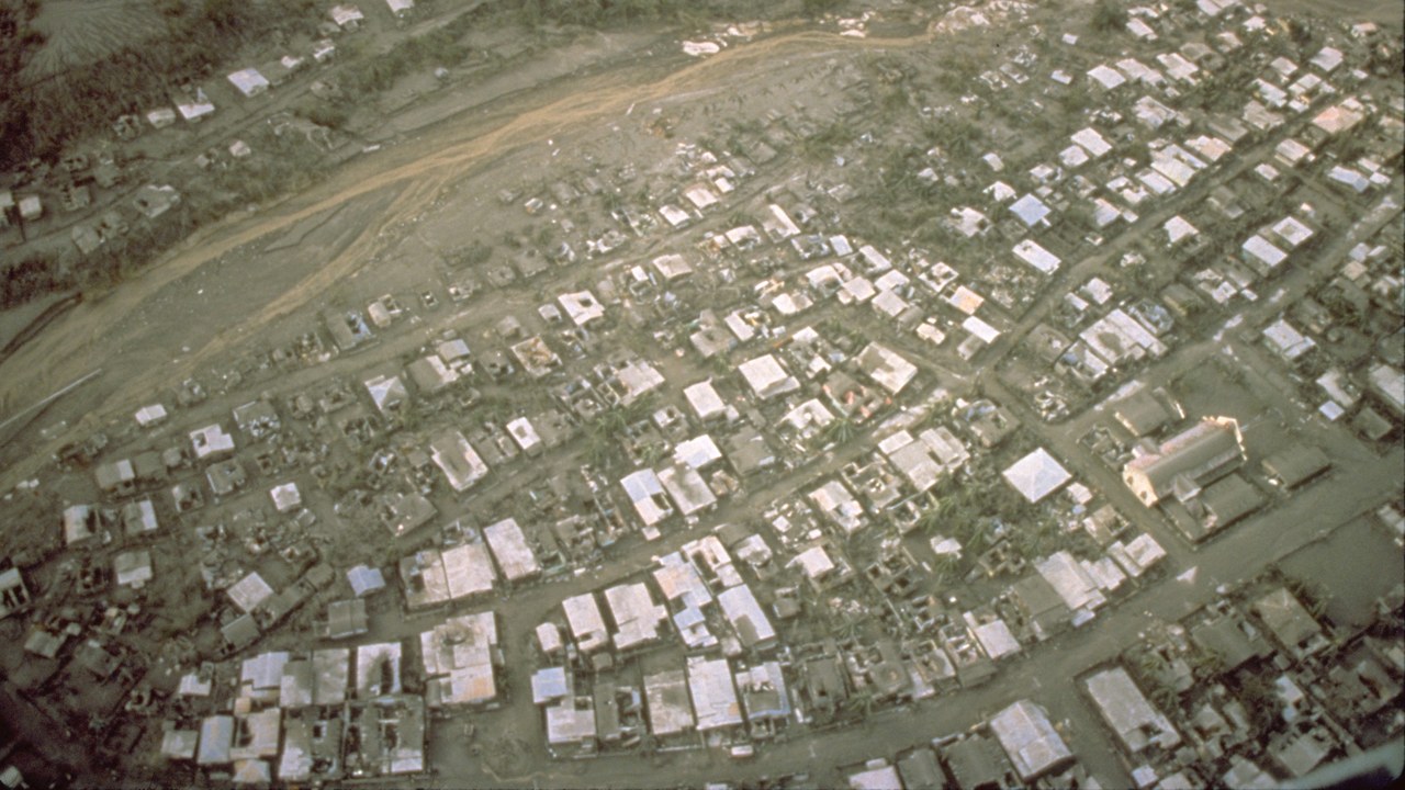
The hazard that ties these peaks together is the lahar, a violent mudflow or debris flow of volcanic material, rocky debris and water that rushes down from a volcano along river valleys. Lahars can move tens of meters per second and have reached 460 feet deep.
Large flows destroy almost every structure in their path. In 1985, a lahar from Colombia’s Nevado del Ruiz buried the town of Armero and killed more than 20,000 people. Rainier’s glaciers give it the fuel for the same kind of flow, and the USGS counts about 80,000 people living in its lahar-hazard zones in valleys like the Puyallup.
More from Morning Overview
- Over 20 trillion gallons of rain fell on the Four Corners states and Nevada in two weeks
- 11 engines built to run well past 200,000 miles
- Two Kentucky residents died when a small plane crashed at Missouri’s Lake of the Ozarks, and the NTSB is investigating
- A handful of car transmissions are so tough that mechanics say they almost never die
