
Death Valley holds the official record for the hottest air temperature ever measured on Earth, and its floor sits below sea level in a basin ringed by mountains. The record itself is now disputed, but the valley’s more recent readings still lead the world. Its salt flats, moving rocks and badlands show what extreme heat and dryness do to a landscape over time.
Read next on Morning Overview: New FCC rules on how people can stop robocalls and texts take effect Nov. 25
Death Valley: The Hottest Place on Record
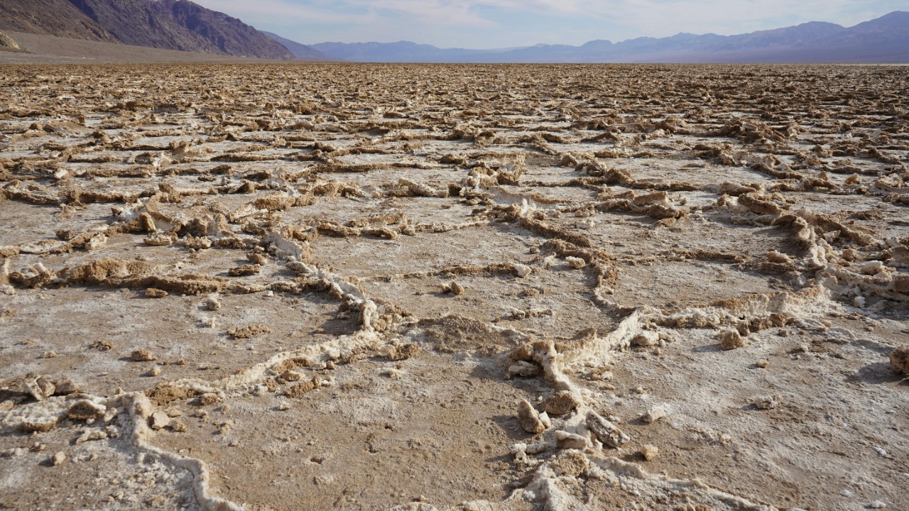
The World Meteorological Organization lists Death Valley as the site of the hottest surface temperature recorded on Earth: 134 degrees Fahrenheit at Furnace Creek on the afternoon of July 10, 1913. Some modern experts dispute that reading because of observer issues and regional inconsistencies.
The highest reliable temperature there is 130 degrees, recorded at Furnace Creek on August 16, 2020, and again on July 9, 2021, still the highest reliable reading anywhere. The valley covers about 3,000 square miles in eastern California and got its name in the winter of 1849 to 1850, when lost gold-rush pioneers feared they would all die there.
Furnace Creek, California: A Village Below Sea Level
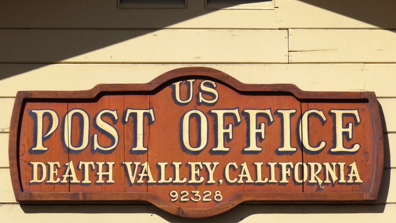
Furnace Creek is a census-designated place 190 feet below sea level that serves as the hub of Death Valley National Park, home to its visitor center, museum and headquarters. Its population was 136 in the 2020 census.
Formerly called Greenland Ranch, it is the place where the world-record temperature readings were taken, and it remains the reference point for the valley’s heat records. The village’s population grew from 24 in 2010 to 136 in 2020, a small community living year-round at the spot where the planet’s official heat record was set, in a valley the Amargosa and Panamint ranges wall in on both sides.
Badwater Basin: The Lowest Point in North America
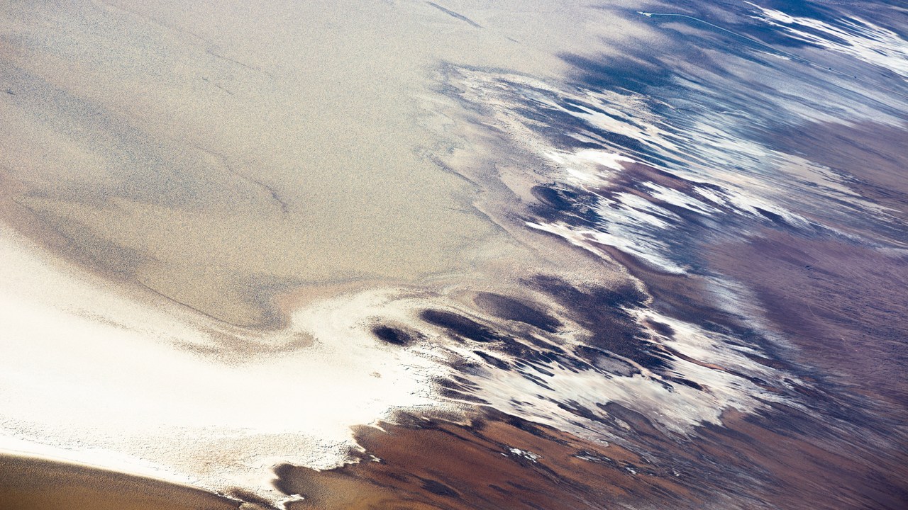
Badwater Basin is the lowest point in North America and the United States, 282 feet below sea level. Its name comes from a small spring-fed pool beside the road whose water is undrinkable because of the salts that collect in the basin.
Repeated cycles of freezing, thawing and evaporation push the thin salt crust into hexagonal shapes. The flats can be dangerous to cross, often just a white crust over mud, so the low-point sign stands at the pool even though the true lowest spot lies several miles west. A crater on Mars, the lowest place on that planet, is named Badwater after it.
Racetrack Playa: The Rocks That Move Themselves
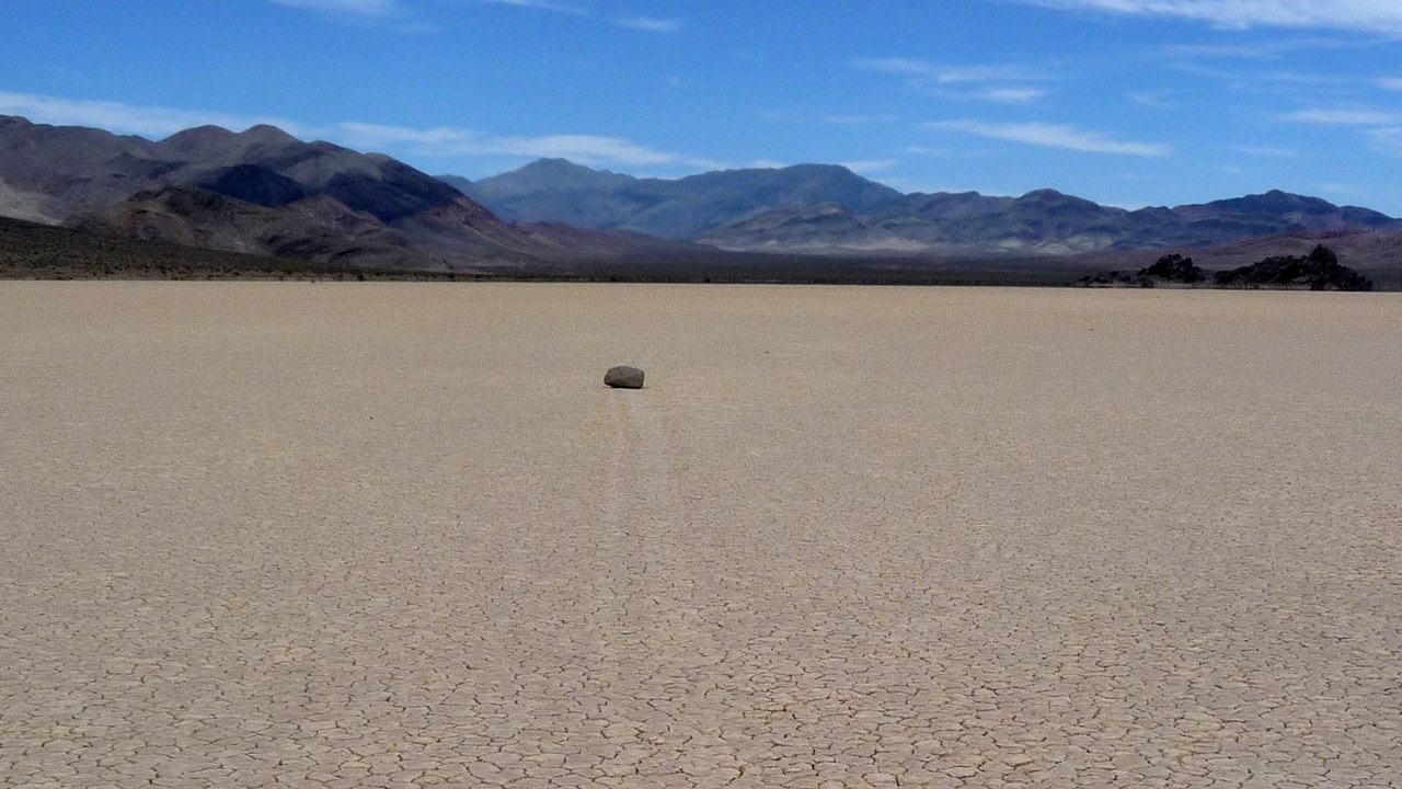
The Racetrack Playa is a dry lake with sailing stones that inscribe linear racetrack imprints across its surface, above the northwestern side of Death Valley. The playa floor is dried clay cracked into polygons a few inches across, smooth and level enough to record each stone’s path.
For years the rocks were thought to be pushed by wind over a wet, slippery surface. Observations in 2014 found something different: thin sheets of ice melting in light winds carried pebbles along, some at up to 80 millimeters per second. Even so, several aspects of the tracks remain unexplained.
Zabriskie Point: Badlands From a Vanished Lake
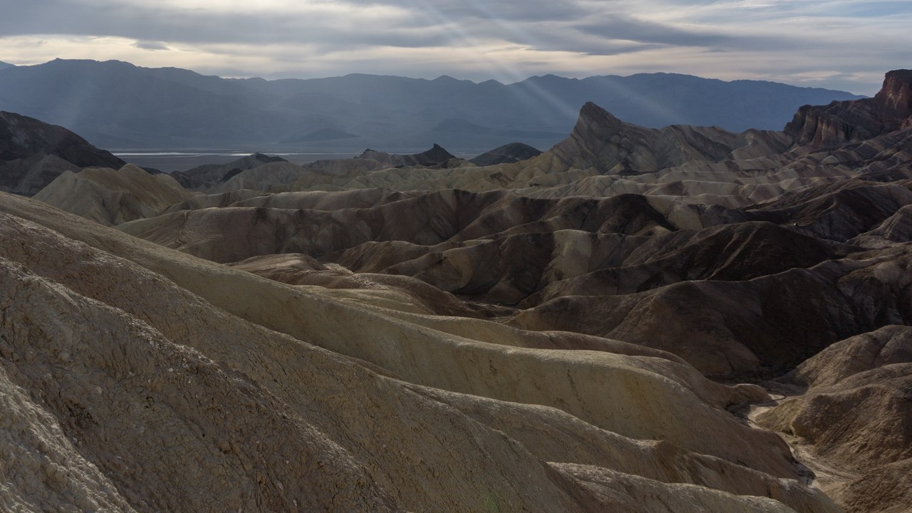
Zabriskie Point is part of the Amargosa Range noted for its erosional landscape, made of sediments from Furnace Creek Lake, which dried up 5 million years ago, long before Death Valley existed. Growing aridity, then the sinking of the valley and uplift of the Black Mountains, tilted the old lakebed and exposed it to erosion.
The result is a field of bare, folded badlands capped in places by dark lava. The landscape stood in for the surface of Mars in the 1964 film Robinson Crusoe on Mars and gave its name to Michelangelo Antonioni’s 1970 film Zabriskie Point.
Mesquite Flat Sand Dunes: Dunes Made for the Movies
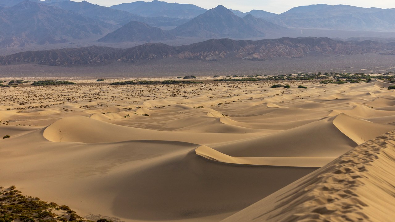
The Mesquite Flat Sand Dunes sit at the northern end of the valley floor, nearly surrounded by mountains. Their easy road access and Death Valley’s proximity to Hollywood have made them a filming location for sand-dune scenes, including in the Star Wars series.
The largest, Star Dune, stays relatively fixed because it sits where several prevailing winds converge. Between the dunes grow creosote bush and some mesquite, the plant that dominated this part of the valley before the sand moved in. Creosote copes far better with dune conditions, a small example of how the valley’s dryness reshapes even its plant life.
Ubehebe Crater: A Volcanic Blast in the Desert
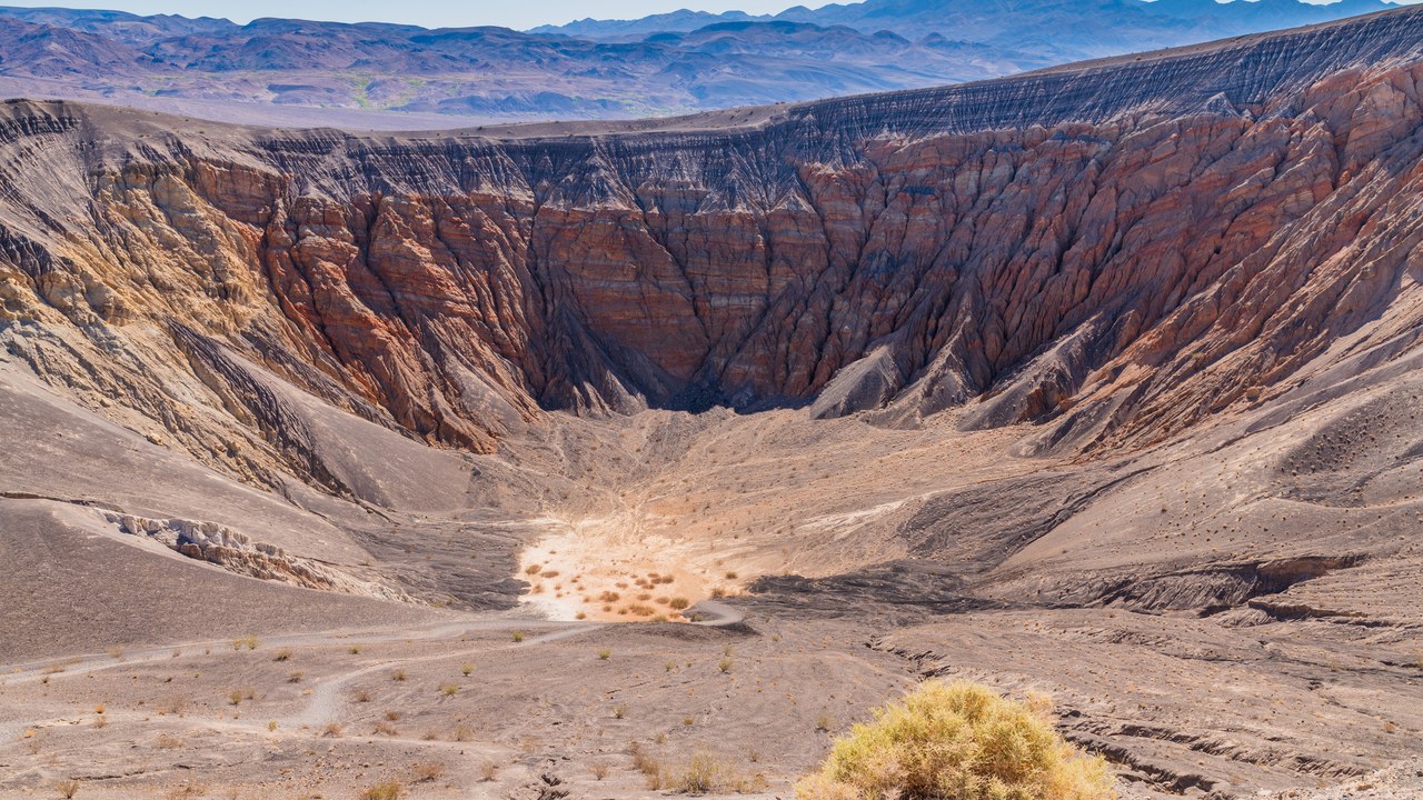
Ubehebe Crater is a large volcanic crater in the northern half of Death Valley, at the tip of the Cottonwood Mountains. It is about half a mile wide and 500 to 777 feet deep.
Its age has been estimated at 2,000 to 7,000 years, but evidence published in 2012 suggested it could be as young as 800 years, though that figure is a lower bound and the crater may be much older. It is a reminder that the valley’s landscape has been shaped not only by heat and drought but also by explosive volcanic activity in the geologically recent past.
Dante’s View: The View Over the Whole Valley
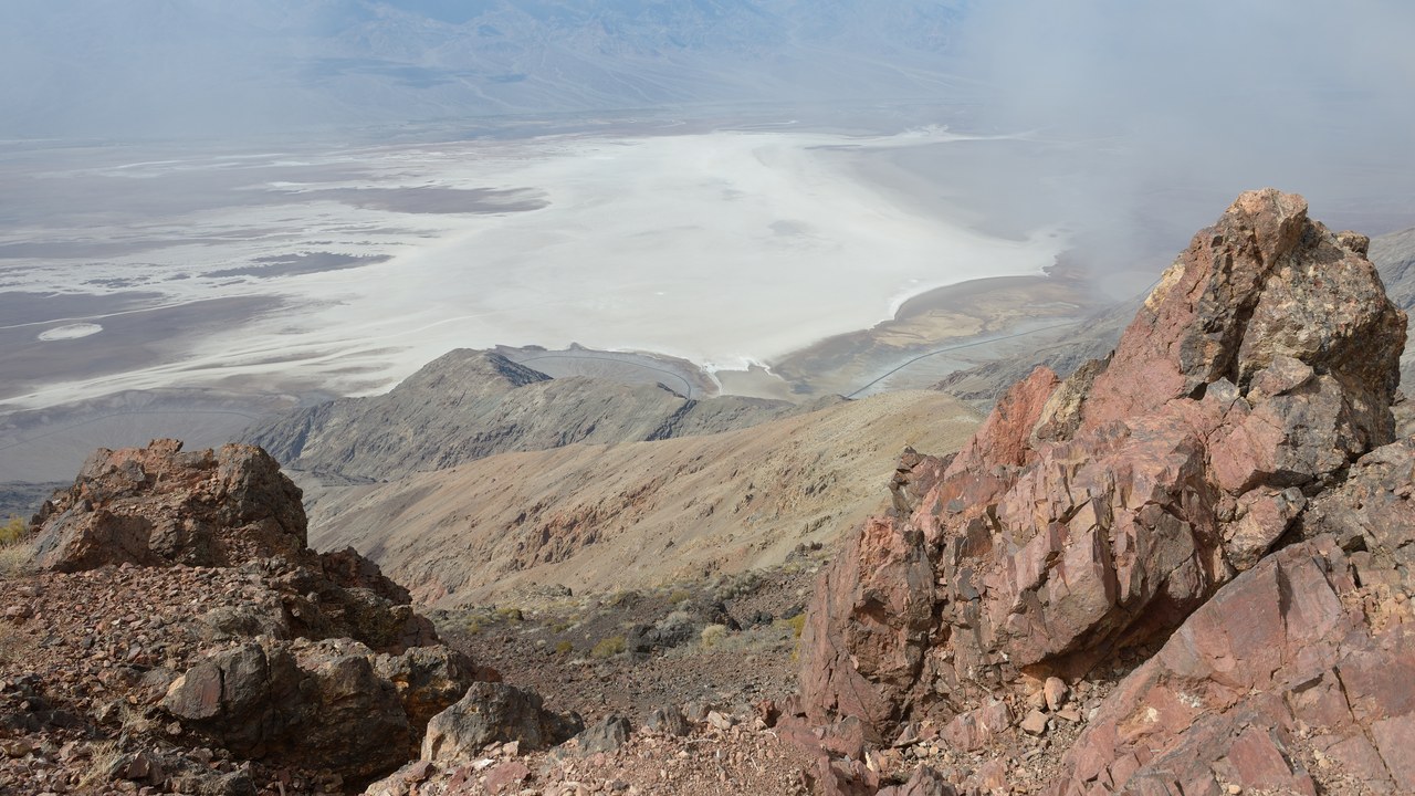
Dante’s View is a viewpoint terrace at 5,476 feet on the north side of Coffin Peak, along the crest of the Black Mountains. It sits about 16 miles south of Furnace Creek and looks straight down onto the valley floor and Badwater’s salt flats.
With Badwater 282 feet below sea level, the drop from the overlook to the basin is more than a mile. The view appeared in the 1977 film Star Wars, with the Mos Eisley spaceport on Tatooine added as a matte painting,, one of several Death Valley locations used in the series.
Highest temperature recorded on Earth: Why the Record Is Contested
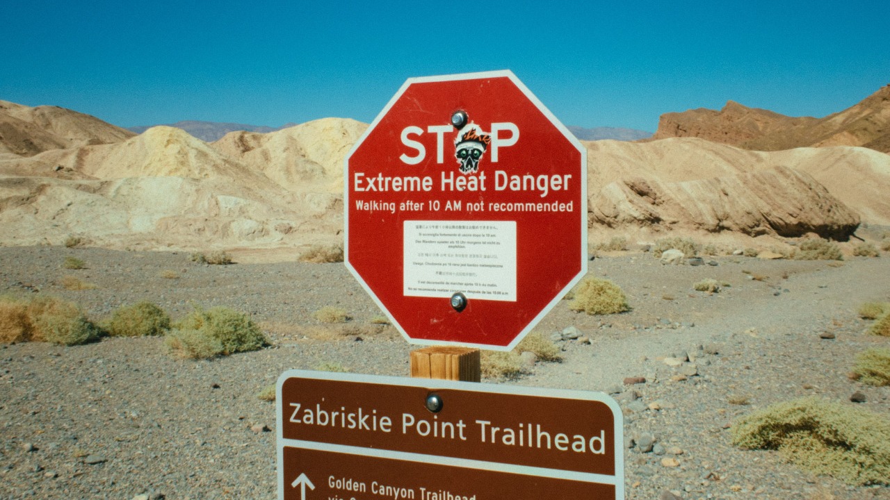
Officially, the highest registered air temperature on Earth is 134.1 degrees Fahrenheit, recorded at 2 p.m. on July 10, 1913, at Furnace Creek Ranch. Air readings are the standard used by the World Meteorological Organization and Guinness World Records because ground and satellite measurements have proved unreliable.
A 1922 Libyan reading held the record for about 90 years until it was decertified in 2012, which raised similar questions about the 1913 Death Valley figure. The WMO has kept the record pending further investigation. If it were decertified, the title would become a three-way tie at 129.2 degrees, including a 2013 reading at Furnace Creek.
Scotty’s Castle: A Mansion Closed by Flood and Fire
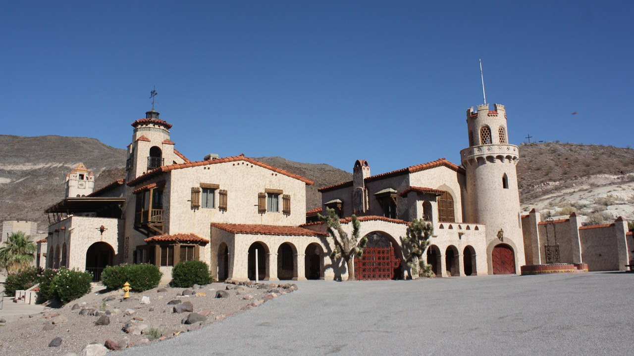
Scotty’s Castle is a two-story Mission Revival and Spanish Colonial Revival villa in the Grapevine Mountains of northern Death Valley. It is named for gold prospector Walter E. Scott, although Scott never owned it and it is not really a castle.
In a valley known for drought, flooding is what closed it: the villa was severely damaged by floods in October 2015, and a 2021 fire destroyed the historic garage and workshop used as the visitor center. The site has stayed closed to the public and, according to its listing, remains closed through at least 2026.
More from Morning Overview
- Cadillac cut the price of its cheapest EV, which goes up to 317 miles on a charge
- Winter weather advisories cover I-80, I-70 and the Bighorns with up to 15 inches of snow
- Arizona’s governor declared a statewide emergency after Flagstaff logged its wettest Nov. 1 on record
- Zero Motorcycles unveiled an electric motorcycle targeted at under $8K and a street-legal dirt bike at EICMA
