
On March 11, 2011, the most powerful earthquake ever recorded in Japan sent a tsunami into the northeast coast that overtopped seawalls, flattened towns and crippled a nuclear plant. More than 19,000 people died. Fifteen years on, the coastline from Iwate to Fukushima still carries the physical record of that day, in rebuilt towns, vanished lakes and a nuclear plant that will never run again.
Read next on Morning Overview: Zero Motorcycles unveiled an electric motorcycle targeted at under $8K and a street-legal dirt bike at EICMA
2011 Tōhoku earthquake and tsunami: Six Minutes, Then the Wave
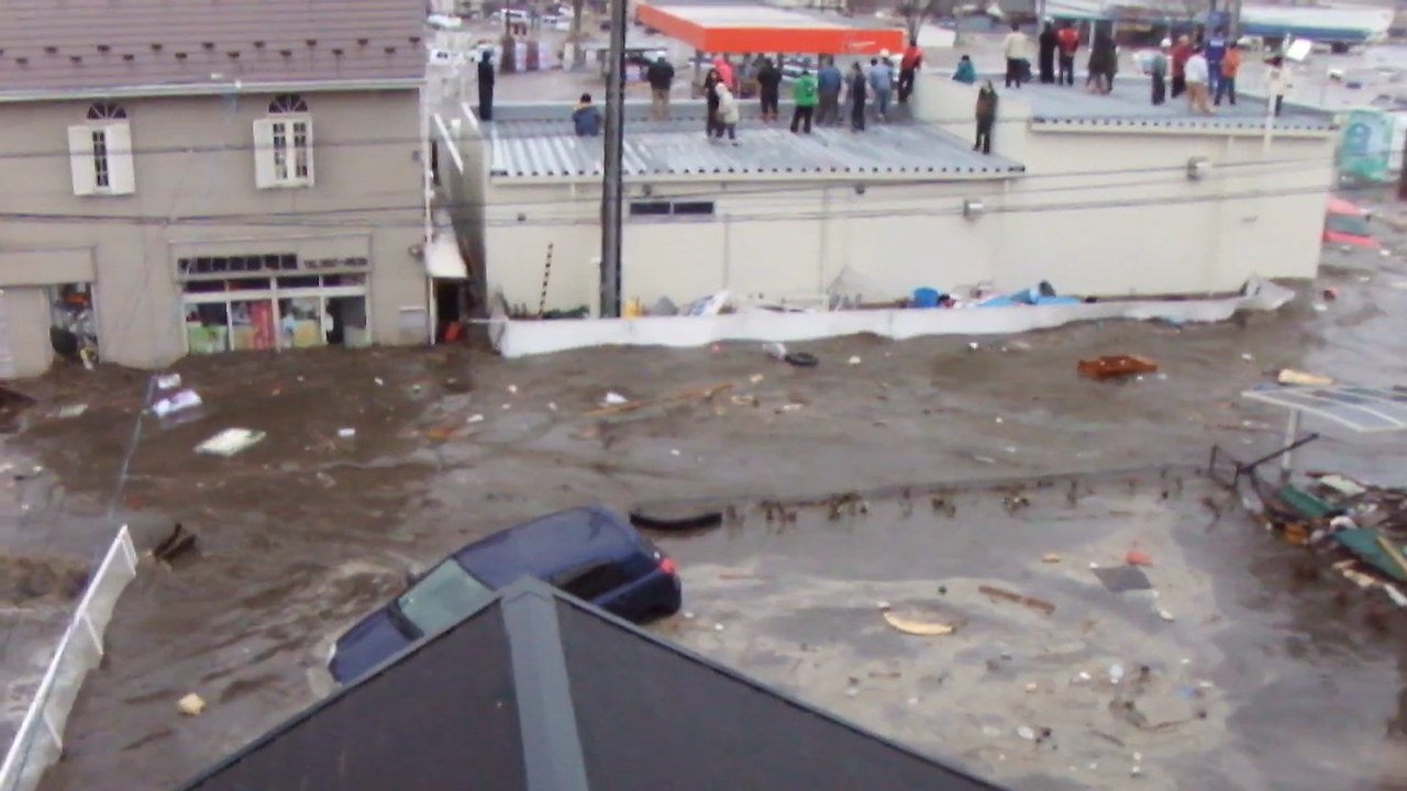
On 11 March 2011, a magnitude 9.0–9.1 undersea megathrust earthquake struck 45 miles east of the Oshika Peninsula and lasted about six minutes. It was the most powerful earthquake recorded in Japan and the fourth most powerful in the world since 1900.
Its tsunami may have reached 133 feet at Miyako and, near Sendai, raced at 435 miles per hour up to 6 miles inland. Sendai residents had only eight to ten minutes of warning. Official 2021 figures put the toll at 19,759 dead and 2,553 missing, and the economic damage at more than $300 billion, making it the costliest natural disaster in history.
Fukushima Daiichi Nuclear Power Plant: The Plant That Is Still Leaking
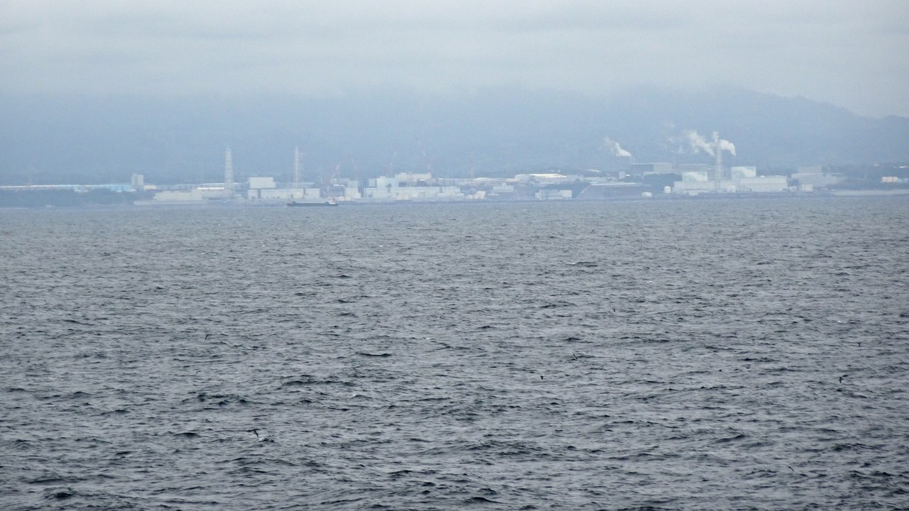
The Fukushima Daiichi Nuclear Power Plant suffered major damage from the March 11, 2011, earthquake and tsunami, which knocked out reactor cooling and led to meltdowns in three reactors and hydrogen explosions that destroyed containment. Authorities set up a 30-kilometer evacuation zone around the site.
The six-reactor plant, once one of the 15 largest nuclear stations in the world, will never restart. All units were shut down by January 2014, and as of February 2025 releases of radioactivity were still ongoing. In April 2021 the Japanese government approved discharging treated radioactive water from the site, one of the most visible legacies of the disaster.
Rikuzentakata: A City Almost Erased
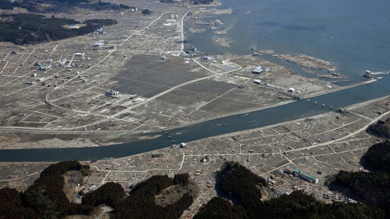
Rikuzentakata was almost completely destroyed by the tsunami that followed the earthquake. Its shelters were designed for a wave of 10 to 13 feet, but the 2011 tsunami arrived at about 43 feet and swamped the designated safe locations, and every building under three stories was flooded.
Local officials estimated that 20 to 40 percent of the town’s population was killed. The tsunami also wiped out Lake Furukawanuma, a lake the city had contained until that day. Its population, 23,302 in 2010, had fallen to about 19,062 by 2020, a measure of how slowly the coast has refilled.
Miyako, Iwate: The Tallest Wave
In Miyako, the water reached record heights. On 11 March 2011, Miyako was devastated by a tsunami, and a University of Tokyo field study found the water had reached at least 37.9 meters, about 124 feet, above sea level, nearly matching the 1896 Sanriku record.
Only about 30 to 60 boats survived from the town’s 960-vessel fishing fleet. The Miyako region counted 420 confirmed dead, 92 missing and 4,005 buildings destroyed. The city has a long record of such waves: an 1896 tsunami killed 1,859 residents, and the 1933 Sanriku earthquake destroyed much of the town again.
Ishinomaki: The Highest Death Toll
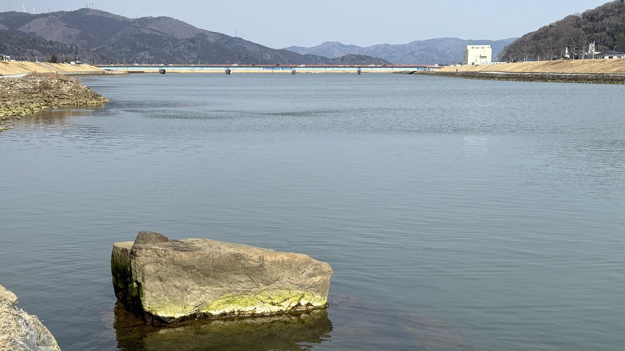
Ishinomaki was among the municipalities most seriously affected by the 2011 tsunami. Waves up to about 33 feet high pushed as far as 3 miles inland, about 46 percent of the city was flooded, and roughly 29,000 residents lost their homes.
By June 2011, 3,097 deaths had been confirmed, the highest count of any Japanese municipality, with 2,770 still unaccounted for. At Okawa Elementary School, 70 of 108 students and nine of 13 staff died, and the delay in evacuating them remains a source of anger for some parents. In the coastal port of Ayukawa, about 80 percent of 700 houses were destroyed.
Minamisanriku: The Building That Went Under
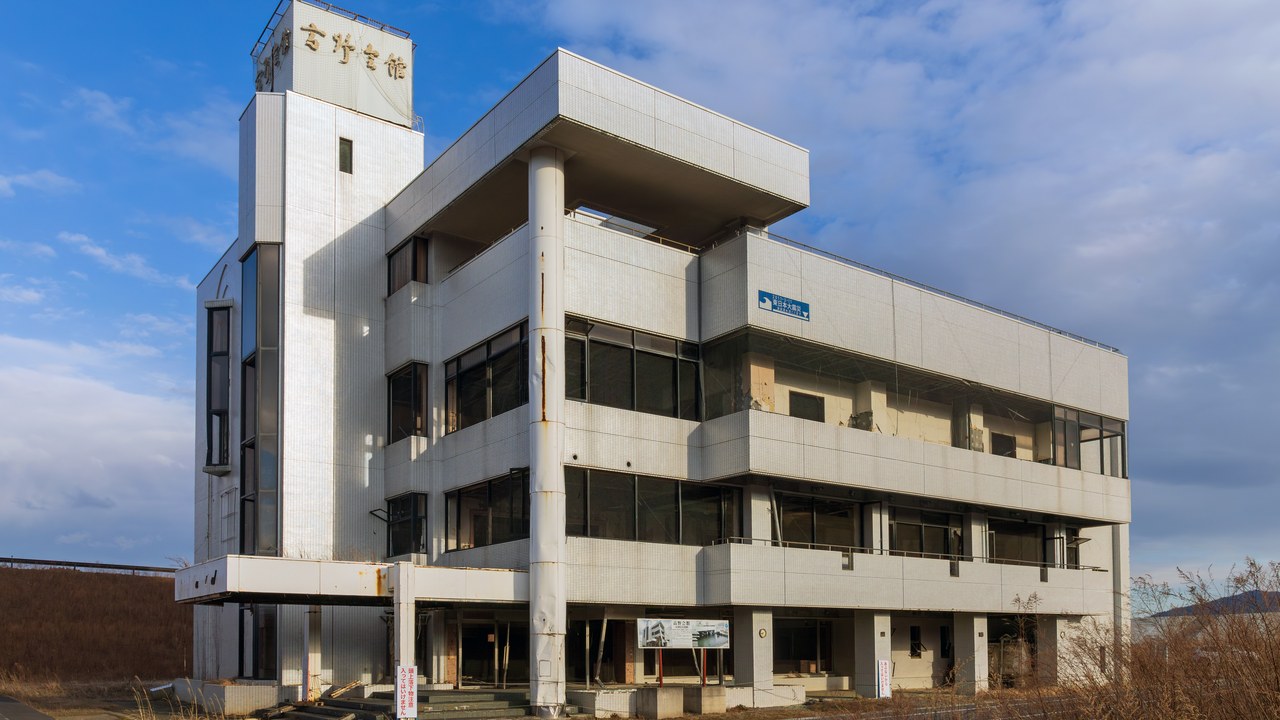
Minamisanriku is a resort town on a coastline of wooded islands and mountainous inlets that was heavily damaged in 2011. Early accounts suggested 95 percent of the town was destroyed; only the tallest buildings were left, and by late June 1,206 people were counted as dead or missing.
The town had built two-story harbor walls after a 1960 tsunami, but the 2011 wave washed over four-story buildings. The mayor fled to the three-story Crisis Management Department building, which was submerged. Of 130 people who worked at the town hall, 53 reached the roof and only 10, including the mayor, survived.
Kesennuma: Four Days of Fire
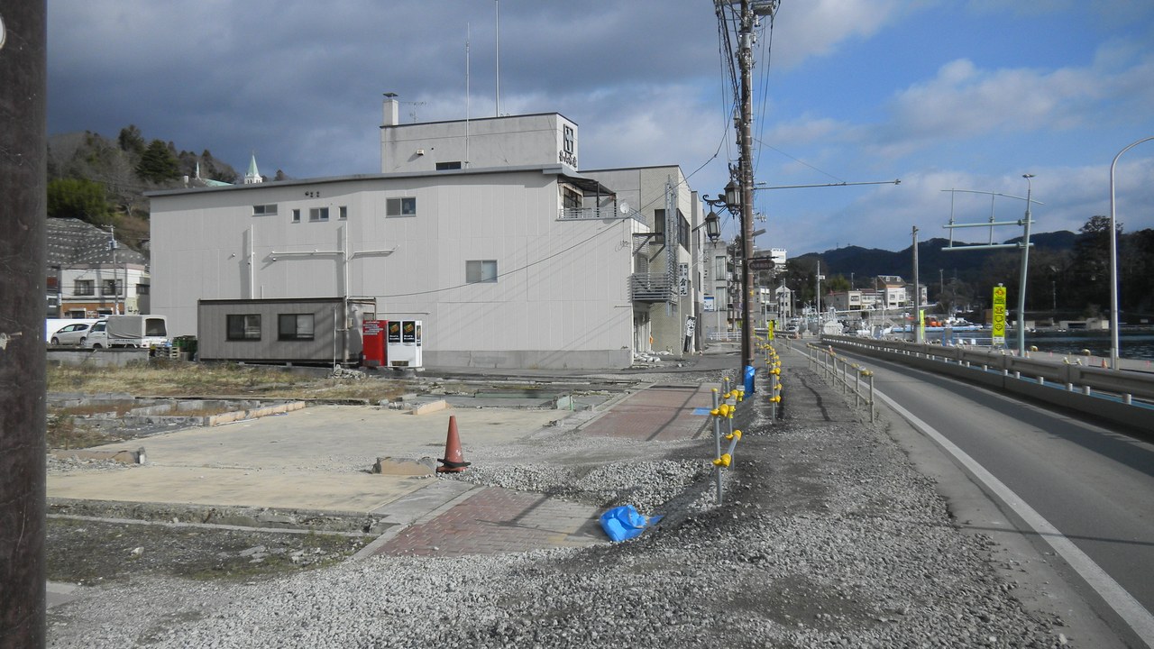
In Kesennuma, the water was followed by flames. Large sections of the city were destroyed by the 2011 tsunami and major fires, and spilled fuel from the fishing fleet burned for four days. The island of Ōshima and its 3,000 residents were cut off when the ferry links were damaged.
By late April 2011, the city had confirmed 837 deaths with 1,196 missing. A fishing boat, the Kyotoku Maru No. 18, was swept inland by a giant wave and became a symbol of the tsunami. Plans to keep it as a monument were dropped in August 2013, when residents decided to scrap it.
Japan Trench: The Fault Offshore
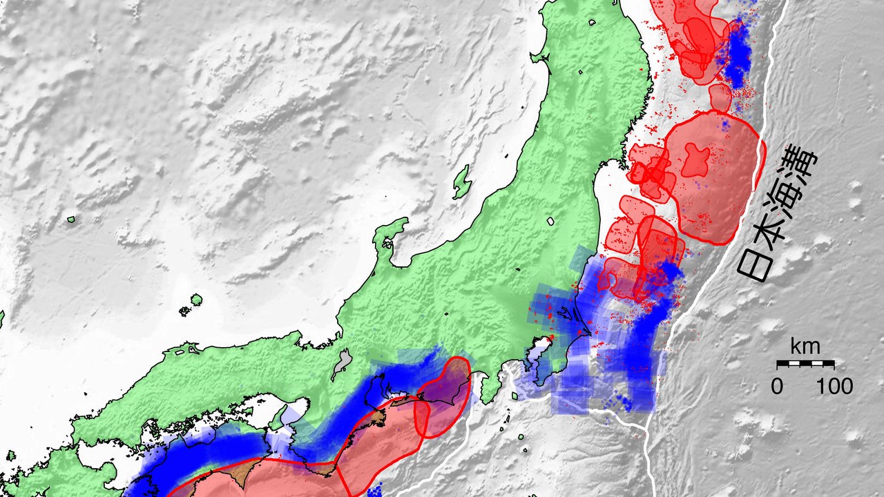
The source of the disaster lies under the sea. The Japan Trench is an oceanic trench off northeast Japan, about 497 miles long and 26,398 feet at its deepest, where the Pacific plate dives beneath the Okhotsk microplate.
Movement on this subduction zone is one of the main causes of earthquakes and tsunamis in northern Japan, including the 2011 megathrust quake. The plate is moving at roughly 3.1 to 3.6 inches a year, and the trench has a long record of damaging quakes, including a magnitude 8.5 event in 1896 that produced two tsunamis.
Sanriku Coast: A Coast Built to Amplify Waves
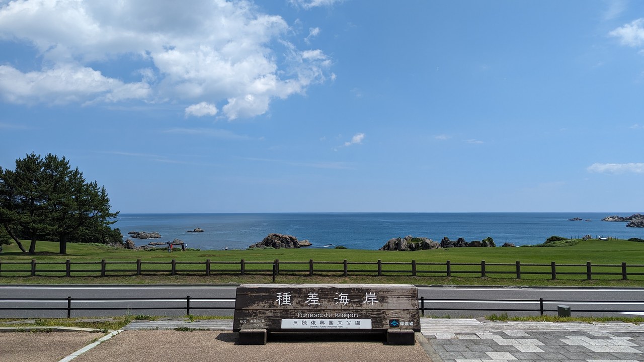
The worst-hit towns share a geography. The bays of the Sanriku ria coastline tend to amplify the destructiveness of tsunami waves, funneling water up narrow inlets. The coast runs from southern Aomori through Iwate into northern Miyagi.
Before 2011, the region’s tsunami history could have been read as a story of fewer deaths over time thanks to planning and seawalls. The 2011 disaster reset that baseline. Its towns are now the reference case for how far a large tsunami can overwhelm defenses that were designed around smaller historical waves.
More from Morning Overview
- Melting permafrost is setting off a newly identified kind of catastrophic landslide, scientists say
- Cadillac cut the price of its cheapest EV, which goes up to 317 miles on a charge
- Winter weather advisories cover I-80, I-70 and the Bighorns with up to 15 inches of snow
- Arizona’s governor declared a statewide emergency after Flagstaff logged its wettest Nov. 1 on record
