
Eastern Washington is cut by dry waterfalls, empty river channels and gravel ripples taller than houses, and for decades most geologists insisted ordinary erosion made them. One researcher argued that floods of almost unimaginable size had carved the land in days, and he spent 40 years being doubted. The evidence eventually won, and the scars he described can still be visited across three states.
Read next on Morning Overview: Arizona’s governor declared a statewide emergency after Flagstaff logged its wettest Nov. 1 on record
Missoula Floods: The Floods That Shaped a Region
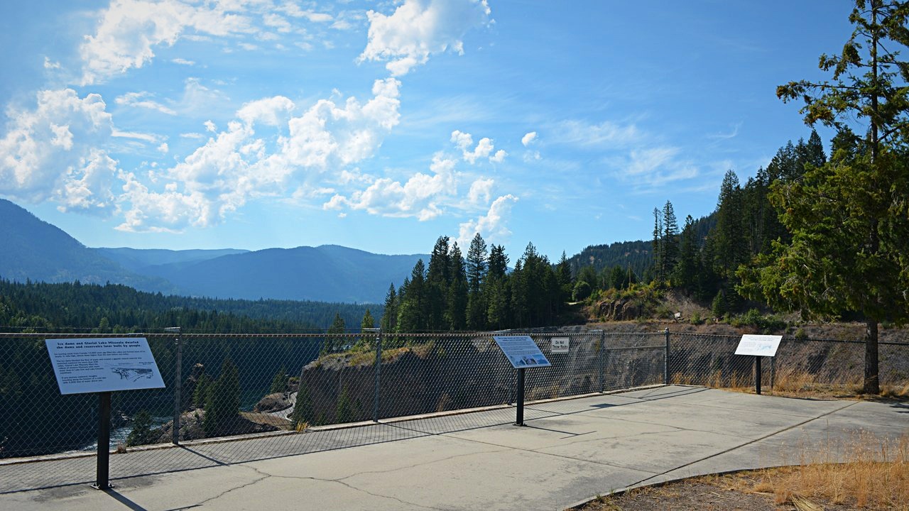
The Missoula floods were a series of cataclysmic glacial lake outburst floods that swept across what is now eastern Washington, northern Idaho and northern Oregon and down the Columbia River Gorge at the end of the last ice age. They are also known as the Spokane floods or the Bretz floods.
Each flood began when the ice dam holding back Glacial Lake Missoula on the Clark Fork River suddenly ruptured. The water rushed down the Clark Fork and the Columbia, flooding much of eastern Washington and the Willamette Valley in Oregon. Once the lake drained, the ice re-formed and the cycle started over.
Channeled Scablands: A Landscape Scraped to Bare Rock
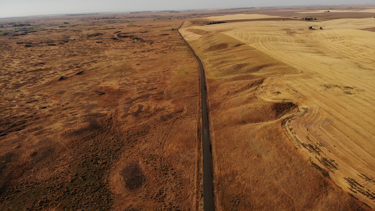
The Channeled Scablands are a barren, largely soil-free region of dry flood channels, coulees and cataracts in southeastern Washington. They were scoured by more than 40 cataclysmic floods during the Last Glacial Maximum, with the last occurring between 18,200 and 14,000 years ago.
The water stripped away the Palouse loess and exposed the basalt below, leaving buttes up to 755 feet high and rock basins as large as the 7-mile-long Rock Lake. The debate over how this happened became one of the great controversies in earth science, and planetary scientists now treat the Scablands as a close Earth analog for outflow channels on Mars.
Glacial Lake Missoula: Half a Lake Michigan Behind Ice
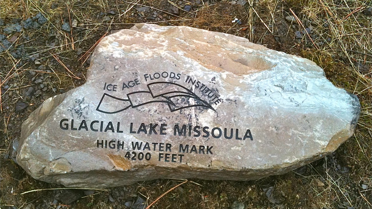
The source of the water was Glacial Lake Missoula, a prehistoric lake in western Montana that existed periodically between about 15,000 and 13,000 years ago. It covered about 3,000 square miles and held roughly 500 cubic miles of water, half the volume of Lake Michigan.
An ice dam on the Clark Fork, often approaching 2,000 feet high, held the lake back. It was the largest ice-dammed lake known to have existed. Its repeated failures, about 40 times over 2,000 years, excavated an estimated 50 cubic miles of loess, sediment and basalt from eastern Washington and carried it downstream.
Dry Falls: A Waterfall Five Times Niagara
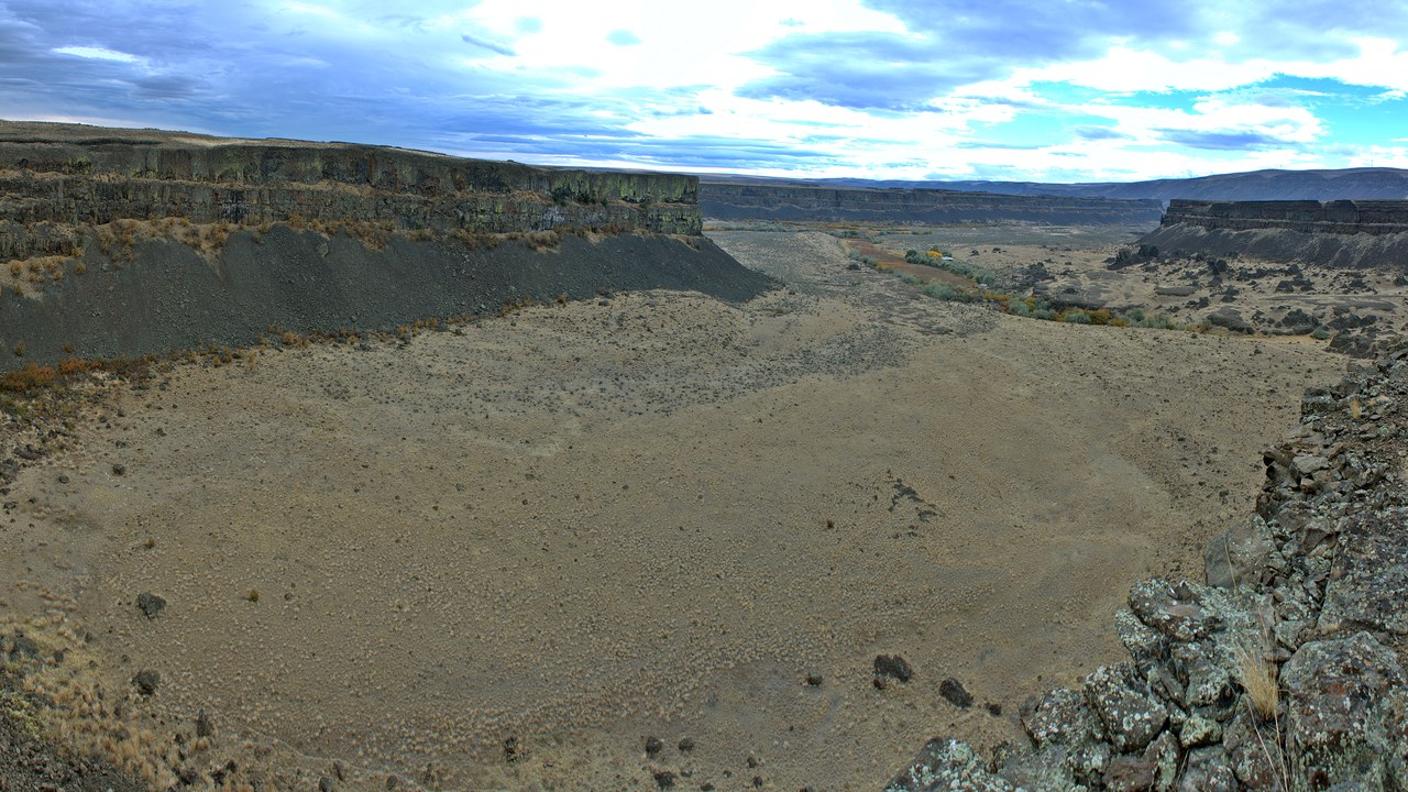
Dry Falls is a 3.5-mile-long scalloped cliff in the central Washington scablands. Under the current geological model, floodwater raced through the Upper Grand Coulee at about 65 miles per hour and poured over this 400-foot rock face.
The falls are estimated to have been five times the width of Niagara Falls, with ten times the flow of all of today’s rivers combined. The floods put parts of Idaho, Washington and Oregon under hundreds of feet of water in a few days and carved the large plunge pools still visible at the base. Today the dry cliff is viewed from an interpretive center in Sun Lakes-Dry Falls State Park.
Palouse Falls: A River Knocked Off Course
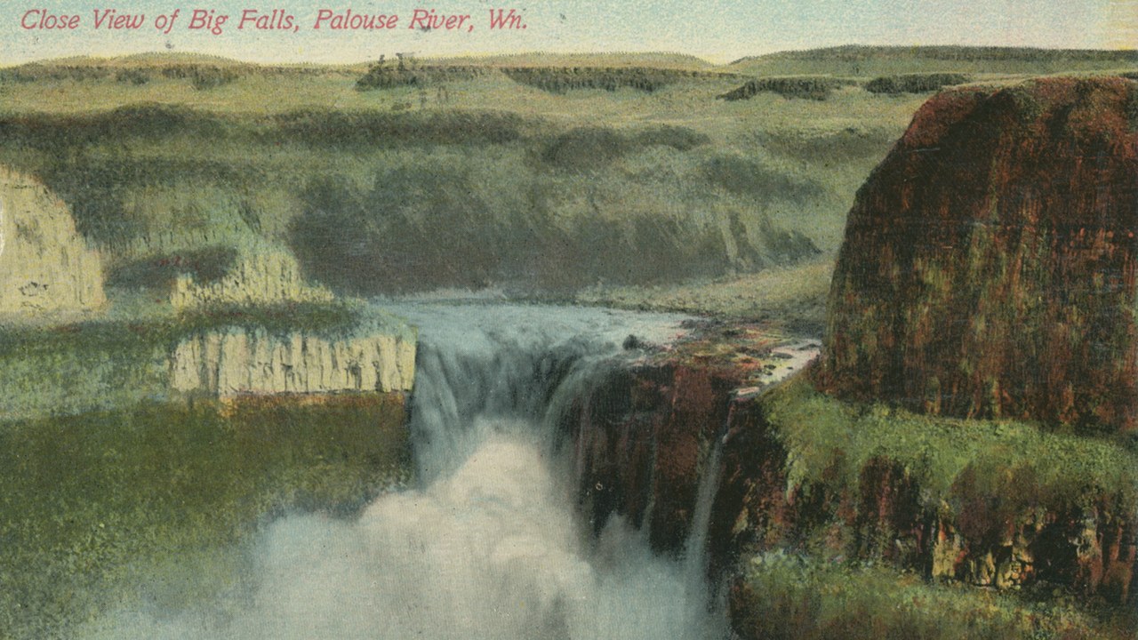
Palouse Falls drops 200 feet into a canyon 377 feet deep, and the falls and the canyon below are an important feature of the channeled scablands created by the Missoula floods.
The Palouse River once flowed through what is now the dry Washtucna Coulee to the Columbia. The floods overtopped the south wall of that old valley and eroded a new channel, diverting the river to its current course toward the Snake. The surrounding land still shows hanging coulees, plunge pools, potholes and pinnacles typical of flood-scoured scabland.
J Harlen Bretz: The Geologist Nobody Believed
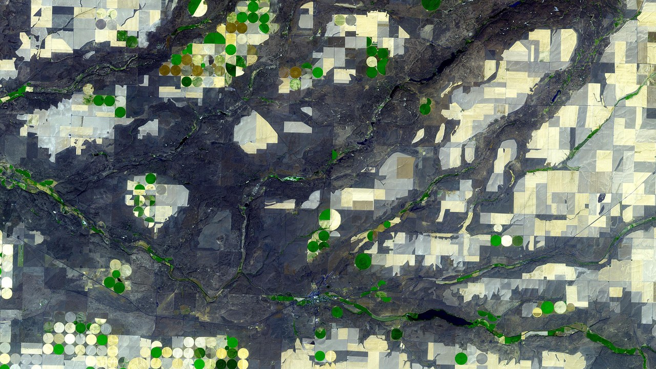
J Harlen Bretz was an American geologist best known for the research that led to acceptance of the Missoula floods. He coined the term Channeled Scablands in 1923 and argued that massive flooding, not slow erosion, had cut the basalt of eastern Washington.
His idea ran against the prevailing view that landscapes form gradually, and the geology establishment resisted it, setting off an acrimonious 40-year debate. Bretz and Joseph Pardee kept gathering evidence that tied the floods to Lake Missoula. Research on open-channel hydraulics and NASA satellite images in the 1970s further vindicated them, long after the first paper.
Grand Coulee: A 60-Mile Ancient Riverbed
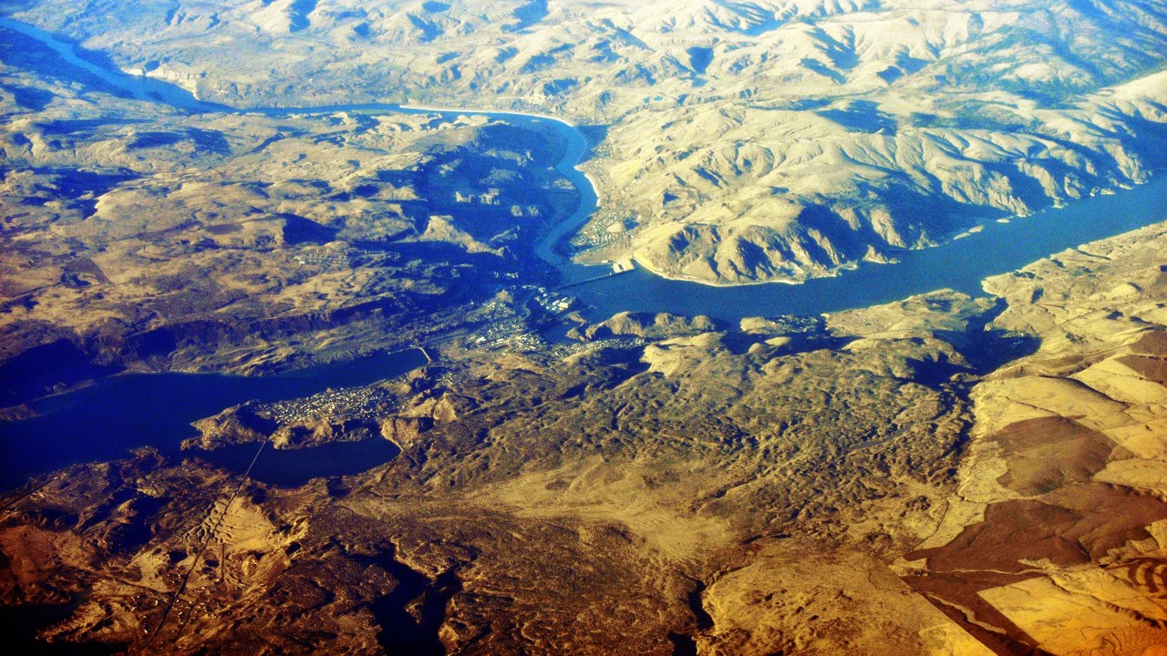
Grand Coulee is an ancient river bed in Washington that runs about 60 miles southwest from Grand Coulee Dam to Soap Lake, split by Dry Falls into upper and lower sections. It is a National Natural Landmark.
Its account of the floods is stark: Lake Missoula’s 500 cubic miles of water could drain in about 48 hours, and at present-day Portland the water stood about 400 feet deep. Early theories said ordinary river flow carved the coulee. In the 1920s Bretz looked deeper and proposed the dam breaches and floods instead.
Wallula Gap: The Bottleneck That Backed Up a Flood
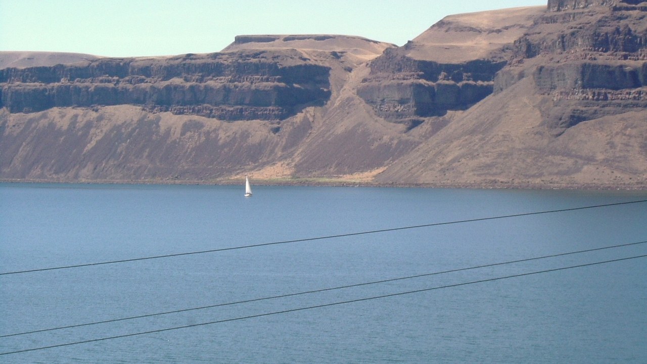
Wallula Gap is a large water gap of the Columbia River in southeastern Washington, cutting through the Horse Heaven Hills just south of where the Walla Walla meets the Columbia. The National Park Service recognizes it as a National Natural Landmark.
During the Missoula floods, the gap could pass less than a fifth of the water arriving each day, even though it is about 1.2 miles wide. The water backed up into the Pasco Basin and briefly formed a temporary body of water called Lake Lewis. The pressure needed to force the flood through the gap amounted to a head of about 250 meters.
Columbia River Gorge: Walls Cut in a Hurry
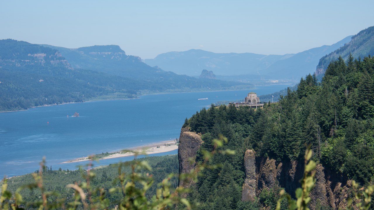
The Columbia River Gorge is up to 4,000 feet deep and runs more than 80 miles through the Cascades between Washington and Oregon. Although the river eroded it slowly over a long period, the most drastic changes came when the Missoula Floods cut the steep walls at the end of the last ice age.
The floods raised the river as high as Crown Point, and the rapid erosion exposed many layers of volcanic rock. The gorge is now a federally protected National Scenic Area and carries Interstate 84, highways and rail lines on both sides of the river.
Giant current ripples: Ripples Taller Than a House
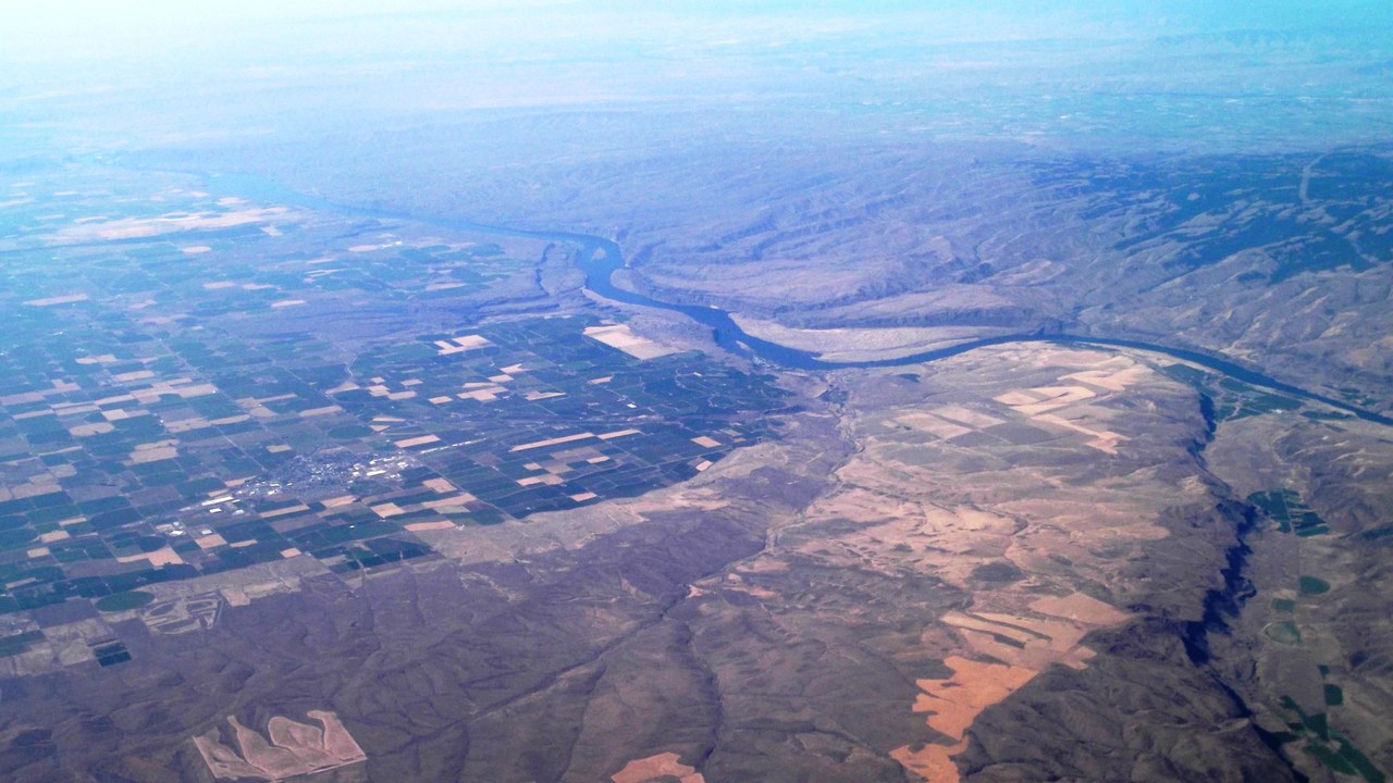
Some of the strongest evidence is underfoot. Giant current ripples are subaqueous dunes up to 20 meters high that form along the main outflow routes of glacial lake outburst floods, scaled-up versions of the small ripples sand forms in a stream.
They can reach about 66 feet high and more than half a mile long, in ripple fields covering several kilometers. They are found on the Columbia Plateau as well as in Russia’s Altai Mountains and parts of British Columbia and Alaska. In Montana, similar ripples on the old Lake Missoula bed helped convince scientists that Bretz’s floods were real.
More from Morning Overview
- A handful of car transmissions are so tough that mechanics say they almost never die
- Melting permafrost is setting off a newly identified kind of catastrophic landslide, scientists say
- Cadillac cut the price of its cheapest EV, which goes up to 317 miles on a charge
- Winter weather advisories cover I-80, I-70 and the Bighorns with up to 15 inches of snow
