
Far from any plate boundary, a fault system under the central Mississippi Valley produced some of the strongest earthquakes in American history. Today millions of people live within reach of it, including the city of Memphis. These pictures trace the New Madrid seismic zone through the towns, rivers and landscapes it has shaped and still threatens.
Read next on Morning Overview: Two Kentucky residents died when a small plane crashed at Missouri’s Lake of the Ozarks, and the NTSB is investigating
New Madrid Seismic Zone: A Fault in the Middle of a Continent
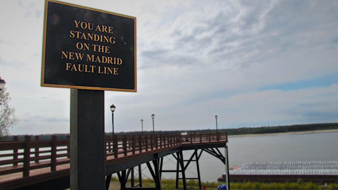
The New Madrid seismic zone is a major source of intraplate earthquakes, quakes that strike inside a tectonic plate rather than at its edge, stretching southwest from New Madrid, Missouri, as its Wikipedia entry explains. It was responsible for the 1811 to 1812 earthquakes and could produce large quakes again.
The zone runs about 150 miles, from Cairo, Illinois, through Missouri and Arkansas and into West Tennessee near Reelfoot Lake. Its quakes potentially threaten parts of seven states, and frequent smaller earthquakes have been recorded there since 1812.
Hernando de Soto Bridge: A Bridge Built to Survive It
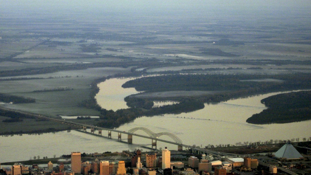
The Hernando de Soto Bridge carries Interstate 40 across the Mississippi River between West Memphis, Arkansas, and Memphis. According to its Wikipedia entry, it underwent a seismic retrofit between 2000 and 2015 so it could withstand a magnitude 7.7 earthquake, similar in size to the New Madrid quakes of 1811 and 1812.
The bridge sits within 100 miles of the seismic zone and is a major cargo route and traffic link. It opened to traffic on Aug. 2, 1973, at a final cost of about $57 million, far above the $12 million first expected.
New Madrid, Missouri: The Town That Named the Quakes
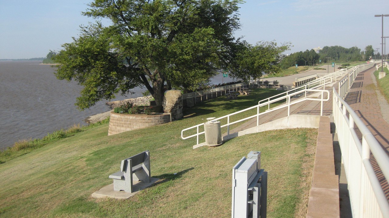
New Madrid, Missouri, is a small river city of 2,787 residents at the 2020 census, according to its Wikipedia entry. It sits on the north side of the Kentucky Bend, a sharp oxbow in the Mississippi River about 42 miles southwest of Cairo, Illinois.
The town was the epicenter of the very powerful 1811 and 1812 earthquakes, which took its name. One of those shocks, on Feb. 7, 1812, destroyed the town itself. Scientists also expect the river eventually to cut across the neck of the bend, changing the map once again.
Reelfoot Lake: A Lake Made by an Earthquake
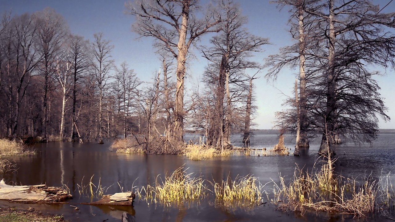
Reelfoot Lake in northwest Tennessee formed when the land sank during the 1811 and 1812 New Madrid earthquakes, as its Wikipedia entry explains. Before the quakes, a waterway called the Reelfoot River flowed into the Mississippi.
Today the shallow lake is a maze of swamps and basins known for bald cypress trees and nesting bald eagles. It is protected as Reelfoot Lake State Park and was named a national natural landmark in 1966, a living landscape created in a matter of moments.
Mississippi River: The River That Ran Through It
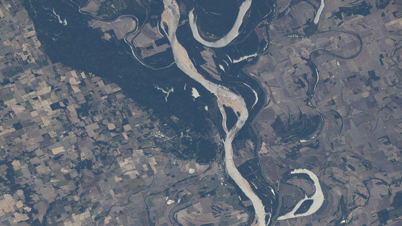
The Mississippi River flows about 2,340 miles from Lake Itasca in northern Minnesota to its delta on the Gulf of Mexico, according to its Wikipedia entry. With its tributaries, its watershed drains all or parts of 32 U.S. states and two Canadian provinces.
The New Madrid seismic zone lies along its central stretch, where shaking can liquefy soft river sediments. That makes the river’s towns, levees and bridges especially exposed to a major earthquake, and it is why much of the region’s risk follows the river.
Memphis, Tennessee: The City Within Reach
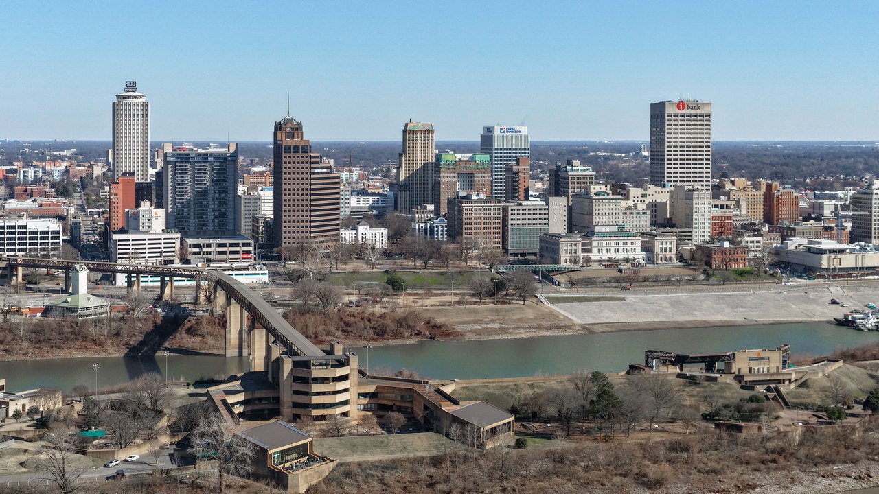
Memphis, Tennessee, sits on the Mississippi River and had 633,104 residents at the 2020 census, making it the state’s second-most populous city, as its Wikipedia entry notes. Its metropolitan area spreads into Arkansas and Mississippi.
The city stands on the high Chickasaw Bluffs, which offered natural protection from river flooding. It is also one of the largest cities near the New Madrid seismic zone, which is why its bridges, hospitals and older buildings figure in earthquake planning. Spanish explorer Hernando de Soto reached the area in 1541.
St. Louis: A Big City Upriver
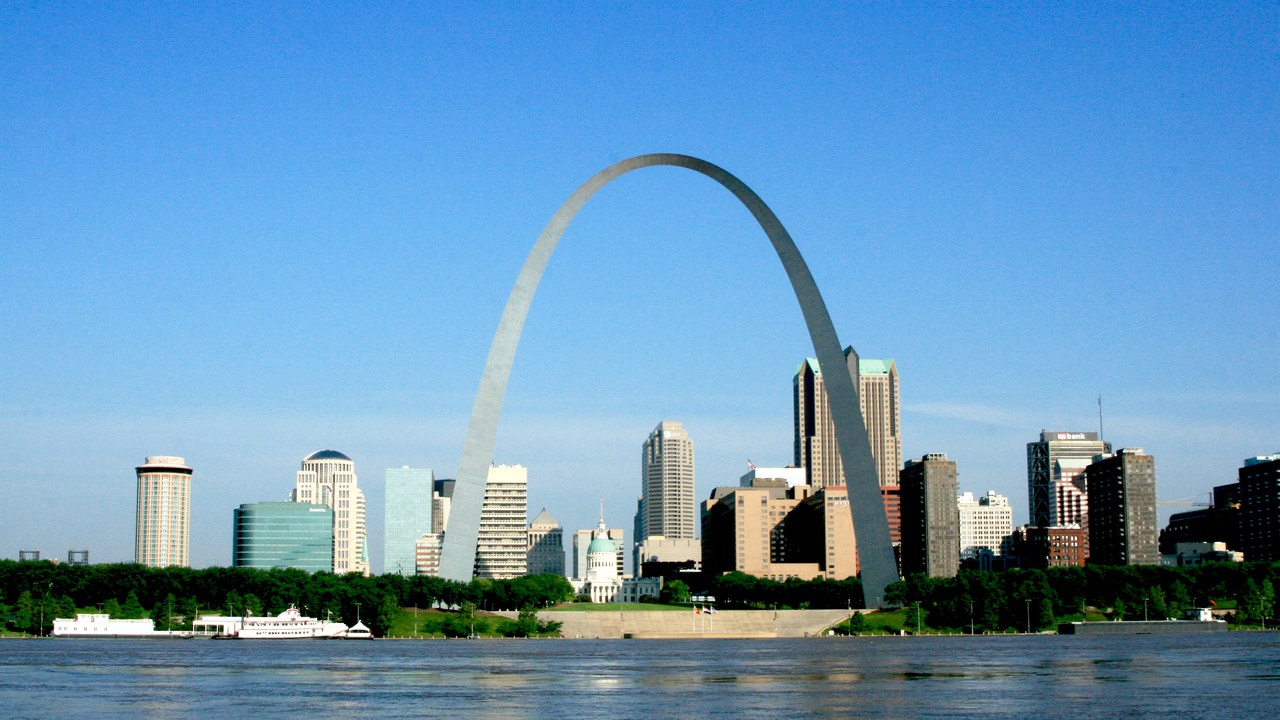
St. Louis lies near the confluence of the Mississippi and Missouri rivers, with a city population of 301,578 in 2020 and a metropolitan area of more than 2.8 million, according to its Wikipedia entry.
During the 1812 shock that destroyed New Madrid, many houses in St. Louis were severely damaged and their chimneys toppled, according to accounts of the quakes. The city’s distance from the zone did not spare it then, and it remains within the area that a major quake could affect.
Kentucky Bend: An Island of Kentucky
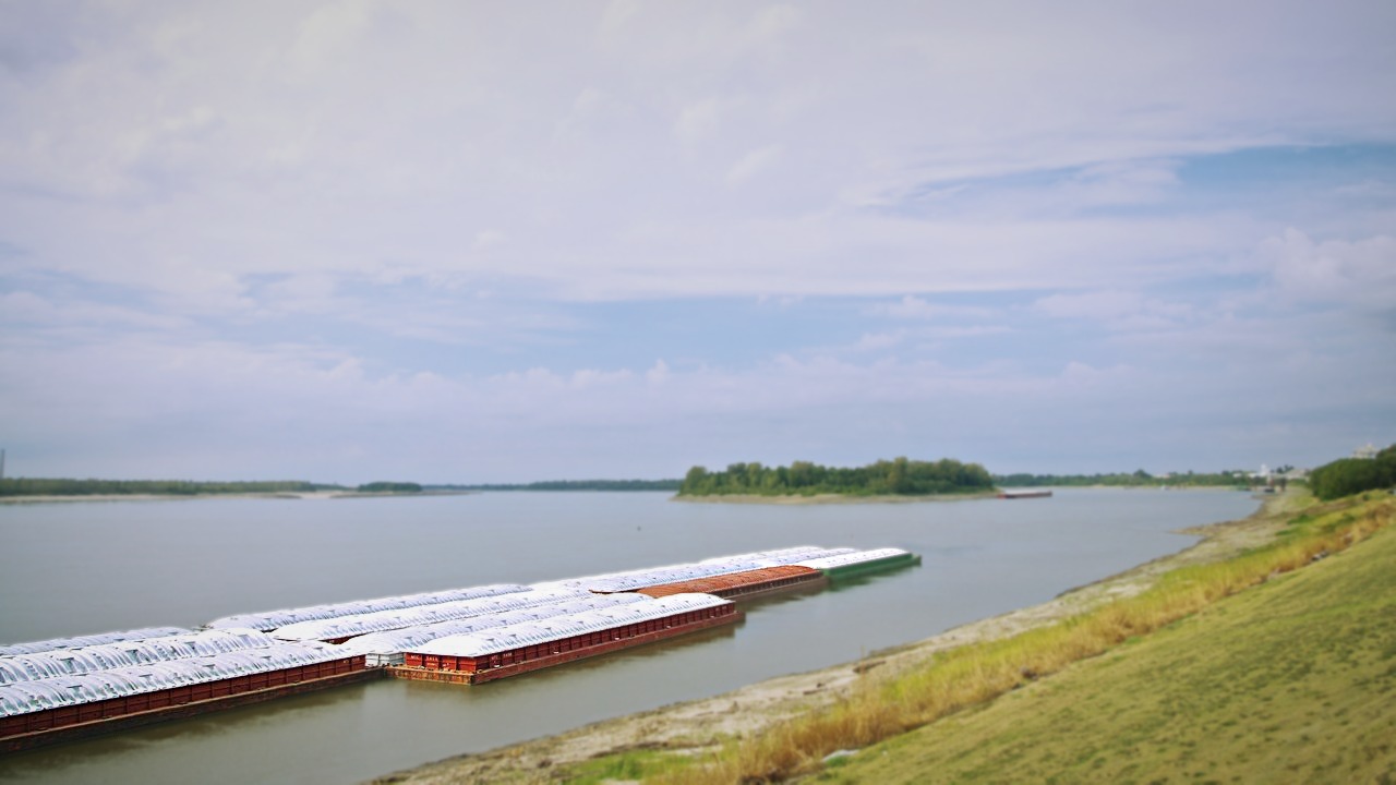
The Kentucky Bend is an exclave of Kentucky formed by an oxbow loop of the Mississippi River, cut off from the rest of the state, as its Wikipedia entry describes. Its inclusion in Kentucky stems from uncertainty about the river’s course when the state line was drawn.
At the 2020 census, nine people lived there, and its mailing address is in Tiptonville, Tennessee. New Madrid sits directly across the river to the north but has no road or ferry link to the bend.
Wabash Valley seismic zone: A Second Zone Next Door
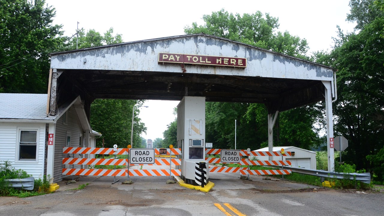
The Wabash Valley seismic zone lies along the lower Wabash River on the border of southeastern Illinois and southwestern Indiana, northeast of New Madrid, as its Wikipedia entry explains. It consists largely of deeply buried faults under layers of sediment.
On April 18, 2008, it produced a magnitude 5.4 earthquake centered about 41 miles north-northwest of Evansville, Indiana, followed by a magnitude 4.6 aftershock six hours later. Its tectonics are still not fully understood and remain the subject of ongoing research.
Sand boil: Sand That Boils Up
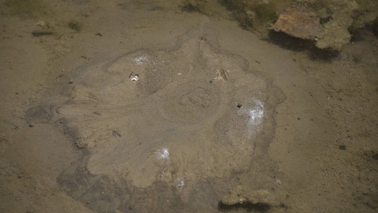
Sand or mud boils form when water under pressure wells up through a bed of sand or dirt, so that the ground looks like it is boiling, as its Wikipedia entry explains. Many are temporary and form in response to earthquakes.
A cone of sand left on the surface is called a sand blow or sand volcano. Such features record past shaking in the New Madrid region, and scientists use them to date prehistoric earthquakes there, extending the record far beyond 1811.
More from Morning Overview
- Shaq spent $1.3 million on three Rolls-Royce Phantoms to prove a point to a salesman
- The Justice Department asked courts to undo approvals for three offshore wind farms, one already making power
- Over 20 trillion gallons of rain fell on the Four Corners states and Nevada in two weeks
- 11 engines built to run well past 200,000 miles
