
For decades the Norse settlement at L’Anse aux Meadows in Newfoundland could only be dated roughly to around the year 1000. Then a burst of radiation from a solar storm, locked into tree rings, let scientists fix the exact year Vikings were cutting wood there: 1021. These eight pictures trace the voyage from Greenland’s Norse farms to that Canadian shore.
Read next on Morning Overview: Two Kentucky residents died when a small plane crashed at Missouri’s Lake of the Ozarks, and the NTSB is investigating
L’Anse aux Meadows: The Only Confirmed Viking Site in America
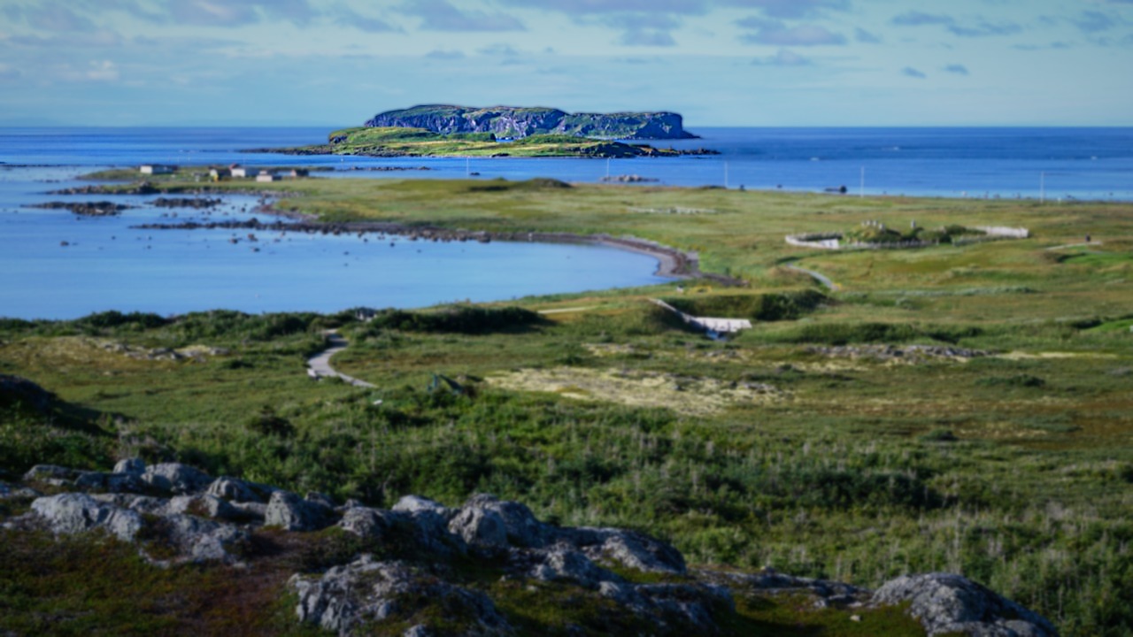
L’Anse aux Meadows in Newfoundland is the only confirmed Norse site in the Americas, and a 2021 study in Nature pinned activity there to 1021 CE. The team examined three pieces of wood from three different trees, each found in a Norse context and each showing cuts made by metal blades, a material the local Indigenous population did not produce.
The key was a massive solar storm in 992 CE, which left a distinct radiocarbon spike in tree rings worldwide the following year. In all three pieces, that signal sat 29 growth rings before the bark edge, which placed the cutting in 1021. The date marks the first known point at which humans had encircled the globe.
Newfoundland: A Base Camp for Exploring Further South
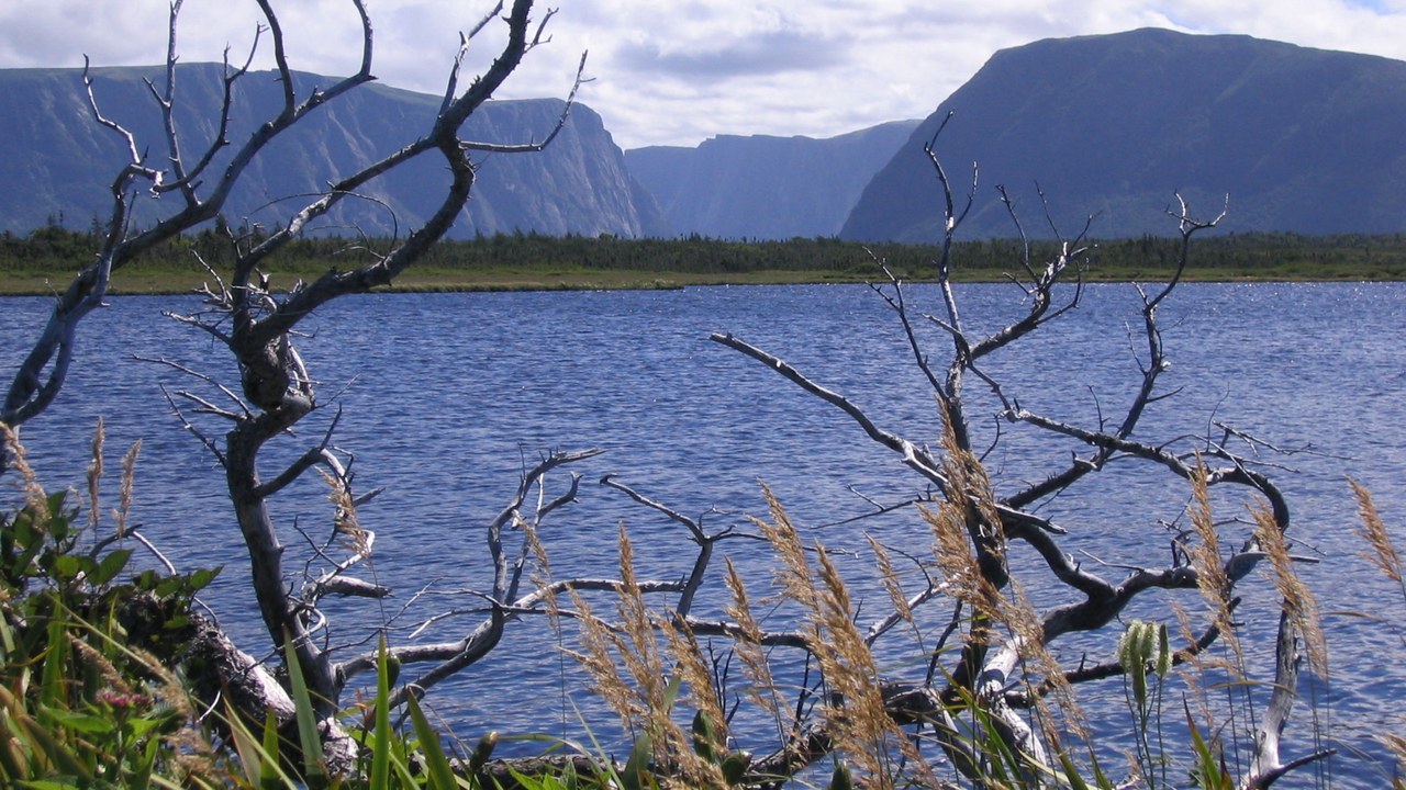
Evidence from the site shows that L’Anse aux Meadows was a base camp from which other locations, including regions further south than Newfoundland, were explored. Botanical finds there confirm the Norse reached lands beyond the island.
Even so, the visit did not last. The study’s authors wrote that the number of Viking expeditions to the Americas and how long they stayed remain unknown, and that all current data suggest the whole endeavor was fairly short-lived. Its cultural and ecological legacy, they concluded, was likely small, even if the date itself marks a milestone in European knowledge of the Americas.
Eriksfjord: The Fjord an Exiled Viking Claimed
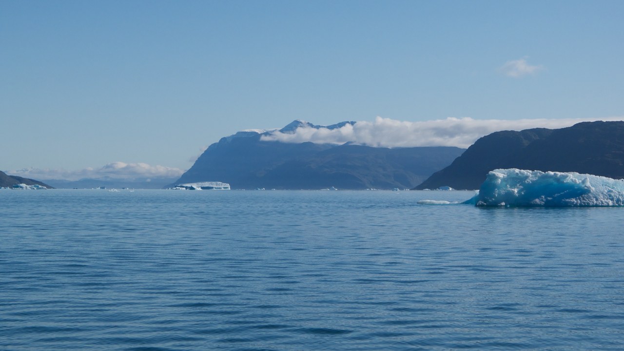
The road to Newfoundland began with a feud. According to the sagas, Erik the Red was banished from Iceland for three years in 982 CE after a fight that left several men dead, and he used his exile to explore Greenland, where he chose prime farmland in western Eriksfjord.
Some 75 percent of the island was covered in ice, yet in 985 Erik returned to Iceland and persuaded about 300 people to follow him, reportedly picking the name Greenland as a selling point. Of the 25 ships that set out, eleven sank on the way. The survivors founded two settlements on the southern coast.
Leif Erikson: The Son Who Sailed West
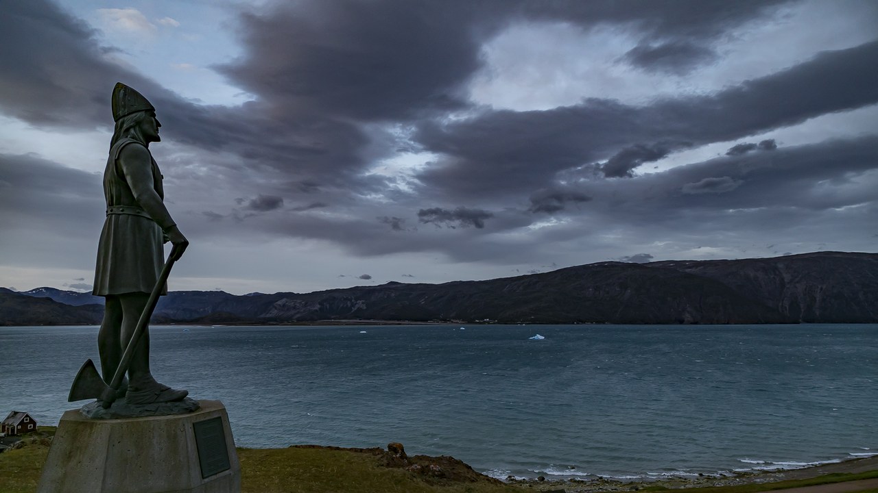
Erik’s son, Leif Erikson, grew up on the family estate in Greenland and is the first European known to have reached Vinland, likely Newfoundland. The sagas, written around 1200, give conflicting accounts, and scholars treat them as literature rather than strict history.
In one version, Leif bought a ship from a sailor who had sighted unknown coasts, gathered 35 men and retraced the route, wintering in Vinland before returning with grapes and timber. Rescuing a castaway crew on the way home earned him the nickname Leif the Lucky. Leif never went back, though others from Greenland and Iceland did.
Brattahlíð: Erik the Red’s Steep-Slope Farm
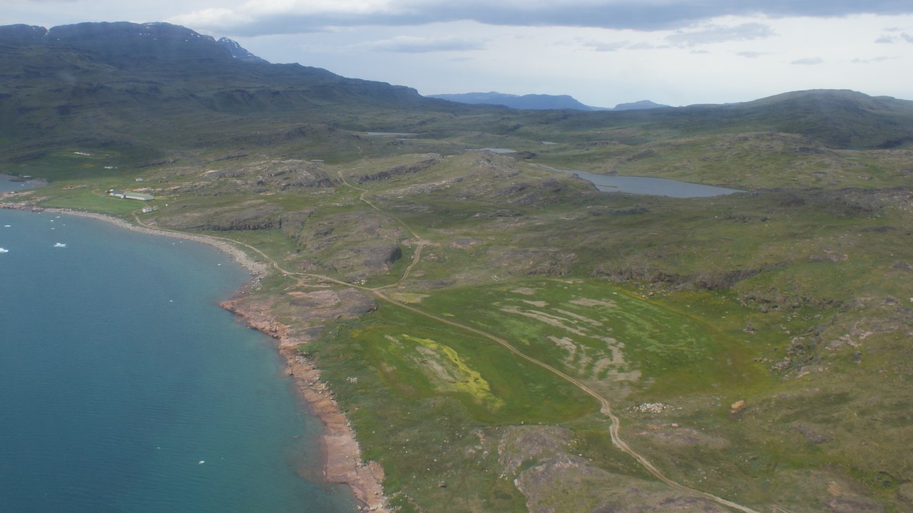
Brattahlíð, meaning “the steep slope,” was Erik the Red’s estate in the Eastern Settlement colony he founded in southwestern Greenland toward the end of the 10th century. It sits about 60 miles from the ocean at the head of a fjord, sheltered from storms, and Erik’s descendants lived there until about the mid-1400s.
It still has some of the best farmland in Greenland. One farm building measured 174 by 46 feet with stone walls nearly 5 feet thick, and in one case the shoulder blade of a whale formed a stall. In 2017 the estate became part of a UNESCO World Heritage Site.
Thjodhild’s Church: A Replica of the First Church in the Americas
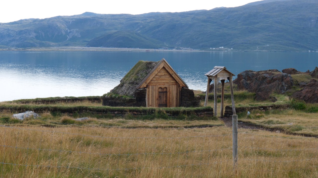
Traces of three Norse churches have been found at Brattahlíð. The oldest, called Thjodhild’s church after Erik’s wife, is likely the first church in the Americas. It was found in 1961, when builders working on a school uncovered a human skull, and digging revealed a small wood-and-turf chapel about 6.6 by 11 feet inside.
Its churchyard held the remains of 144 people, with no grave goods and no rune-carved markers. The building in this photo is a replica, built at a distance from the original site for the millennial celebration of Leif Erikson’s voyage to Vinland in 2000, alongside a reconstructed Norse longhouse.
Qassiarsuk: The Village on Erik’s Estate
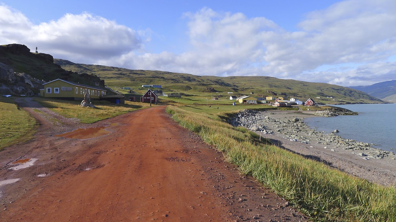
The present-day settlement of Qassiarsuk now stands on the former estate of Brattahlíð, across the fjord from the airport town of Narsarsuaq. Its modern facilities are modest, a youth hostel and a small store, while the Norse ruins lie around it.
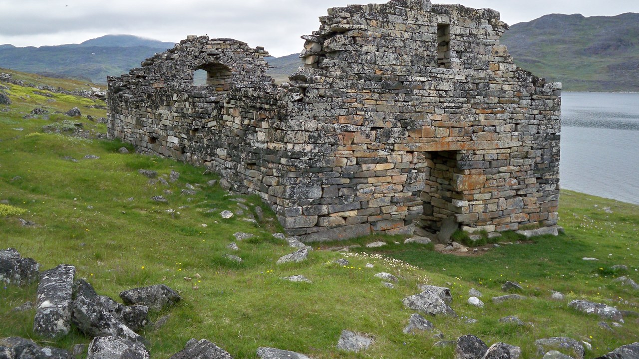
The ground here has yielded more than walls. Near the site of the main longhouse stood a stone church built in the 13th century on top of an even older one, where archaeologists found melted fragments of bell metal. One gravestone is carved in runes with the words “Ingibjørg’s Grave,” a rare personal trace of the people who farmed this fjord.
Eastern Settlement: The Colony That Vanished
The Norse founded two settlements on Greenland’s southern coast, the Eastern and Western Settlements, and farmed near fresh water. Bones in their trash heaps show seals, caribou, cattle, sheep and goats, and chemical analysis shows people in the Eastern Settlement ate more marine protein than those in the Western.
By the early 1400s the Norse had disappeared from Greenland. Scholars point to a cooling climate after a 13th-century volcanic eruption, more sea ice and storms, competition from African elephant ivory and plague among European trading partners. The Thule people, ancestors of modern Greenlanders, remained.
More from Morning Overview
- Shaq spent $1.3 million on three Rolls-Royce Phantoms to prove a point to a salesman
- The Justice Department asked courts to undo approvals for three offshore wind farms, one already making power
- Over 20 trillion gallons of rain fell on the Four Corners states and Nevada in two weeks
- 11 engines built to run well past 200,000 miles
