
Many of the highest roads in the American West are closed behind gates once snow arrives, and the closures can last for months. The reasons range from avalanche slopes and deep snowpack to simple elevation, and the published dates are often given as ranges. Here are twelve mountain roads and passes that close for winter, with the figures behind each one.
1. Trail Ridge Road: Above the Treeline
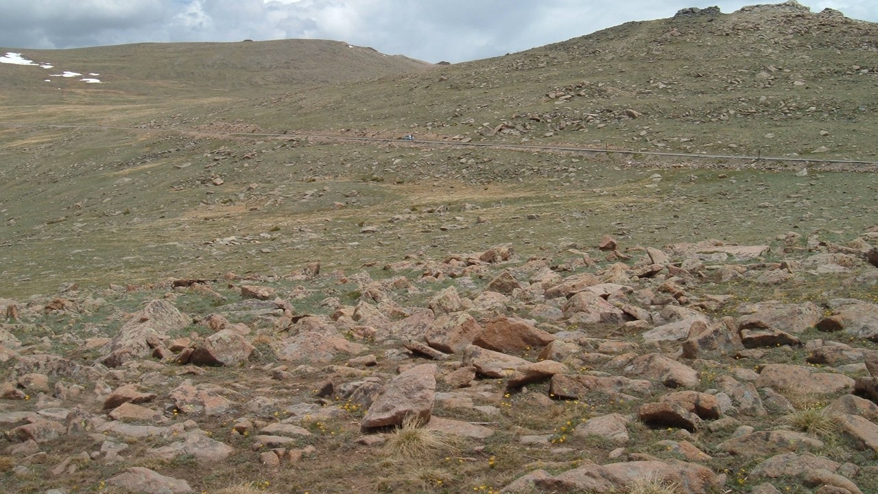
Trail Ridge Road (U.S. 34) climbs to a high point of 12,183 feet as it crosses the tundra of Rocky Mountain National Park, and eleven miles of its pavement run above treeline.
A road that spends that much of its length above treeline has no shelter from mountain weather, which is the setting for the winter gating that puts it on this list. Drivers planning a trip are best served by checking the park’s current road status first.
2. Going-to-the-Sun Road: Third Monday Shutdown
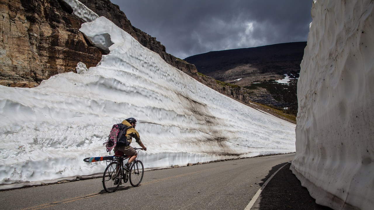
The alpine sections of Going-to-the-Sun Road typically close for the winter around the third Monday of October, according to the Glacier National Park directions page. The park service adds that the closure can come earlier when wintery weather arrives.
The date is a typical figure rather than a fixed schedule, so a late-season drive depends on the weather as much as on the calendar. Visitors planning an autumn trip to Glacier have a firm reason to confirm conditions ahead of time, since an early storm can bring the closing forward.
3. Tioga Pass: Late May to November
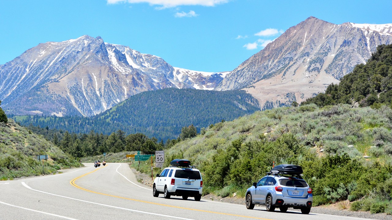
Yosemite’s Tioga Road, which carries traffic over Tioga Pass, is typically open to vehicles only from late May or June until sometime in November, according to the National Park Service. The road is shut to vehicles outside that window.
The window is typical, and the end date falls sometime in November, so no single closing day applies from year to year. Anyone planning to cross in the shoulder seasons should treat the published range as an expectation and not a guarantee.
4. Beartooth Highway: A Dated Season
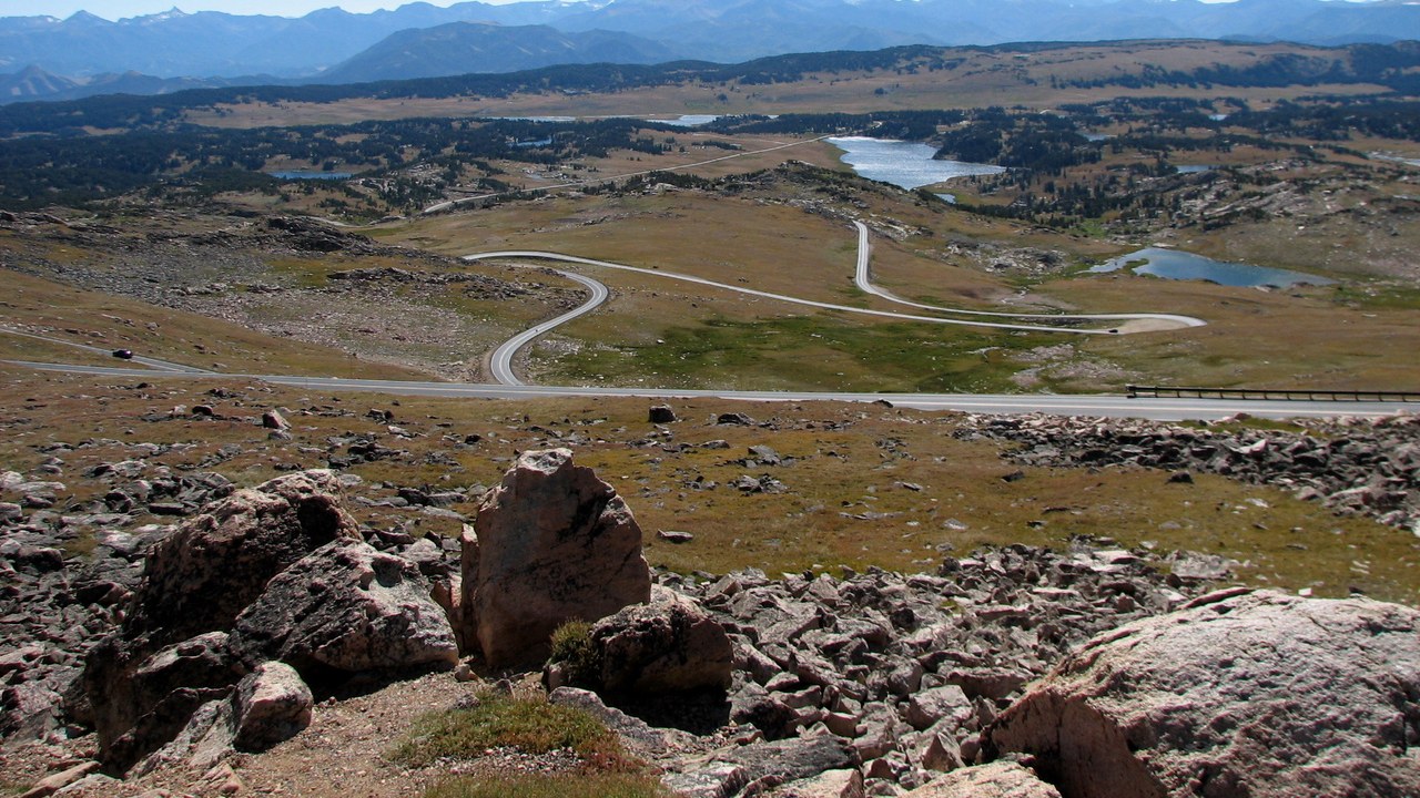
Yellowstone’s park roads page lists the Beartooth Highway season on U.S. 212 as open May 22 to October 12, 2026, alongside the Chief Joseph Scenic Byway (WY-296). The park service cautions that those dates can move with the weather.
Because the dates are planning targets, a trip near either end of the season carries the risk of an earlier or later closing than the one posted. Checking the park’s road status shortly before departure is the safer approach for anyone routing through the Beartooth.
5. Lassen Volcanic National Park Highway: Forty Feet of Snow
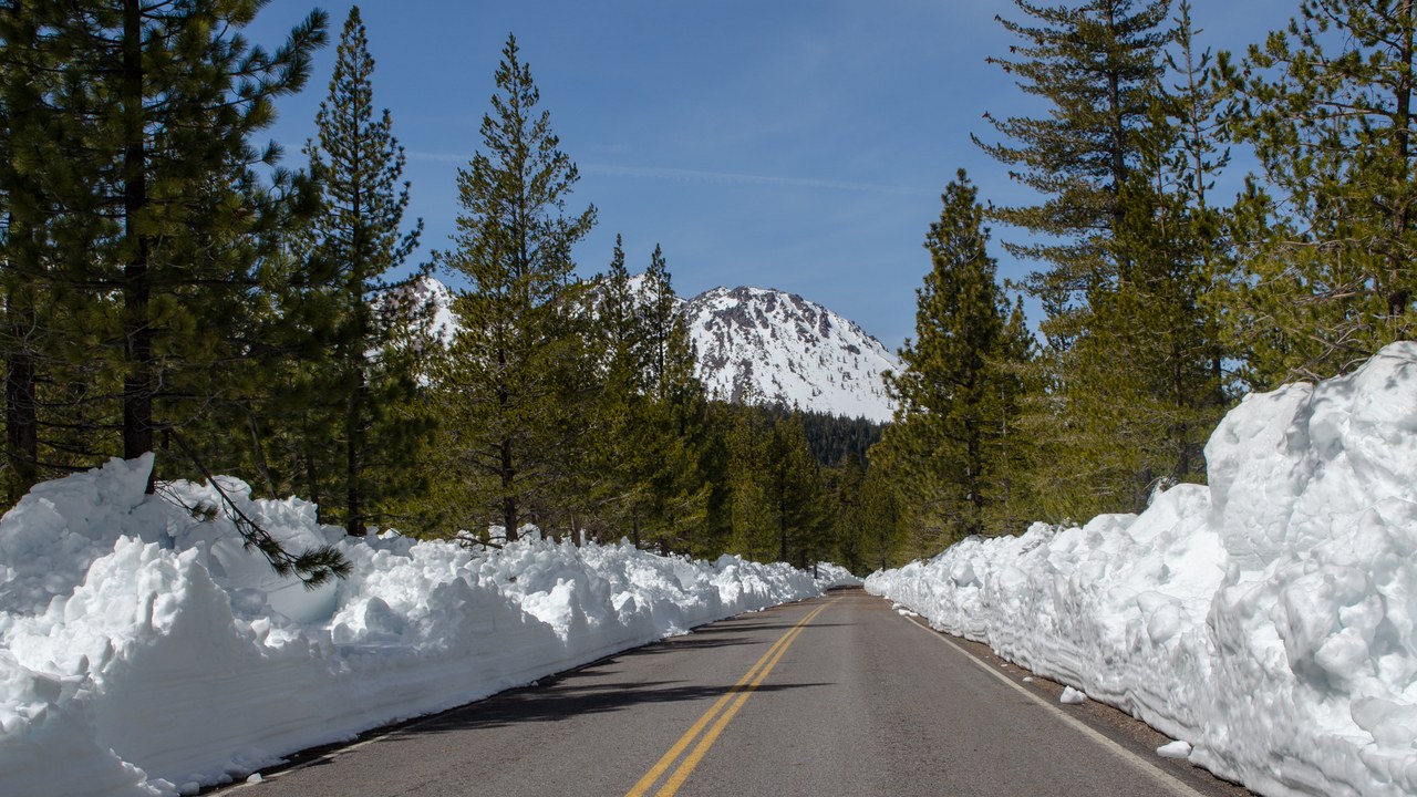
The Lassen Volcanic National Park Highway has a 30-mile winter stretch that traverses avalanche-prone slopes with drops of up to 2,000 feet and can hold a snowpack up to 40 feet deep. Crews plow that snow off before the road reopens, according to the park’s spring clearing update.
The depth and the avalanche exposure explain why reopening is a clearing operation and not a simple unlocking of the gate. For visitors, the practical point is that the road reopens only after that work is done, so the park’s spring clearing updates are the place to watch.
6. Cedar Breaks scenic road: Snow Sets the Calendar
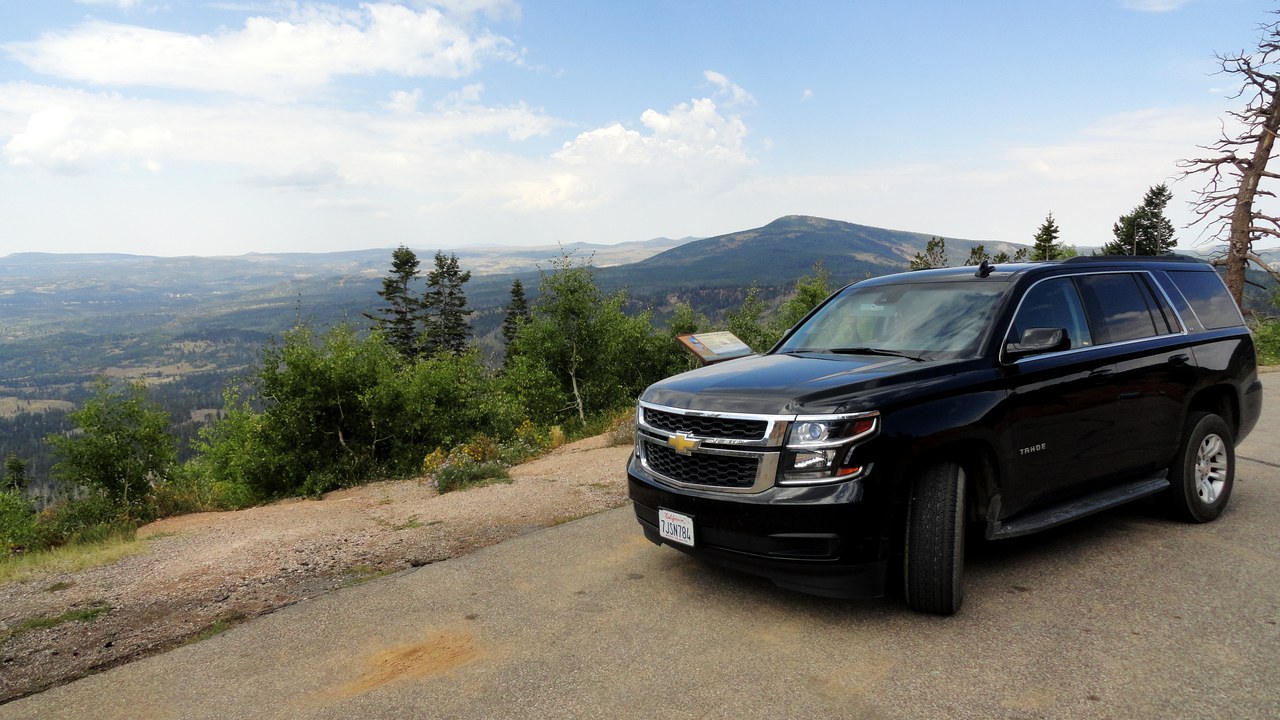
State Route 148 through Cedar Breaks National Monument is closed to vehicles from mid-November to mid-May, on average, and the park service notes that the length of the closure depends on snow.
Since the figure is an average, the actual closure can begin or end on either side of those months depending on the year’s snowfall. Visitors planning a shoulder-season trip to the monument have reason to check current conditions instead of relying on the dates alone.
7. Chinook Pass: A Three-Year Gate Log
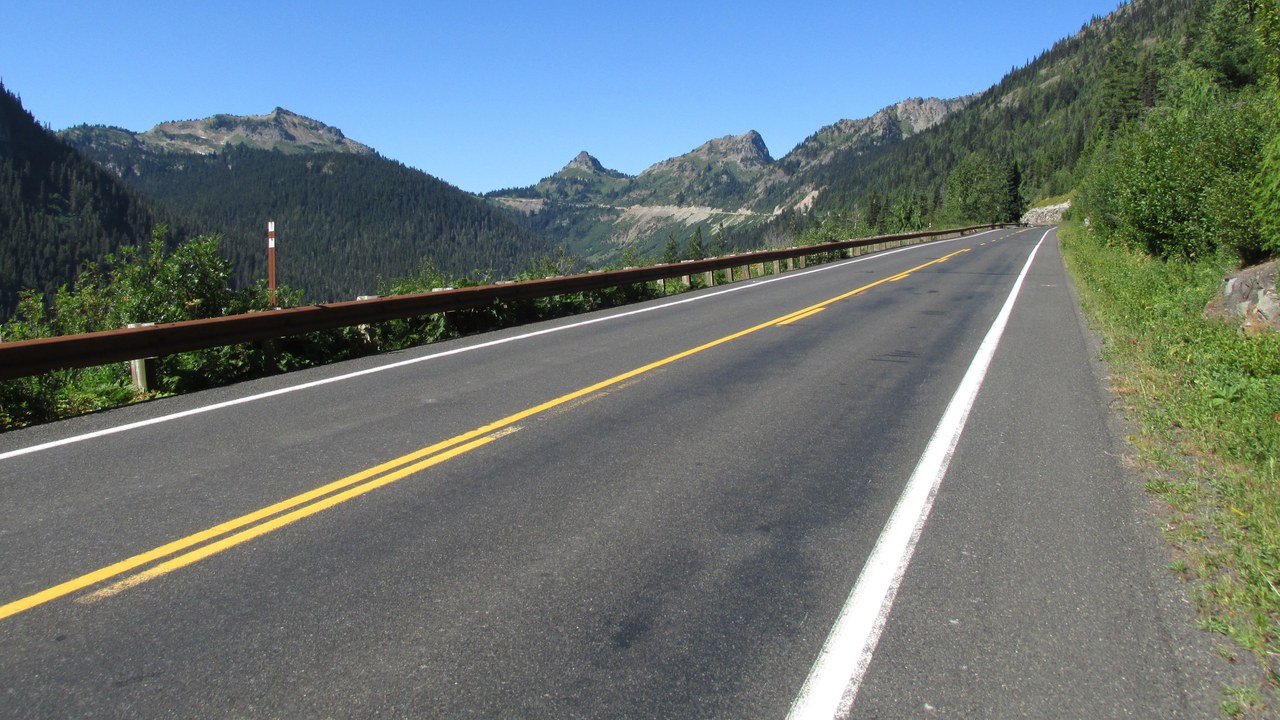
WSDOT’s historic record shows SR 410 over Chinook Pass opened May 23 and closed October 24 in 2025, after opening May 31 and closing October 31 in 2024. The same log lists a 2023 season that began May 26 and ran to November 10.
The three seasons differ by a week or more at each end, with closings ranging from October 24 to November 10, so a single year offers little guide to the next. The agency’s record is a useful reference for planners, although it documents past dates and not future ones.
8. North Cascades Highway: Partial Reopening
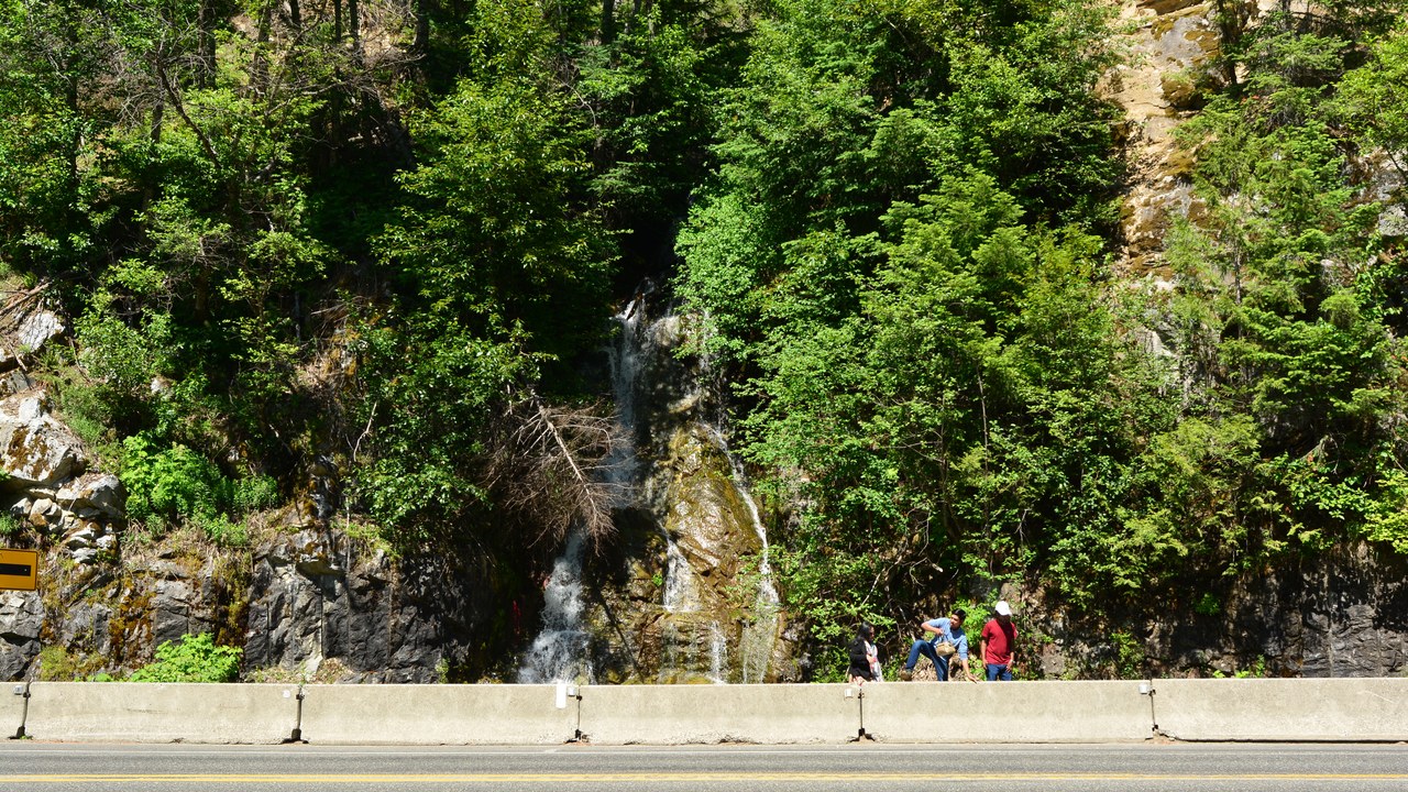
State Route 20 closed on December 4 in 2025, and WSDOT’s log records only a partial reopening on April 30 in 2026. The two seasons before show openings on April 22 in 2025 and April 19 in 2024, with closings on December 4 and November 18.
The 2026 entry is labeled a partial reopening, which signals that the highway was not yet fully open at that point on the log. The gap between a November 18 closing in 2024 and a December 4 closing in 2025 also shows how the shutdown date moves from year to year.
9. Independence Pass: Aspen’s Eastern Cutoff
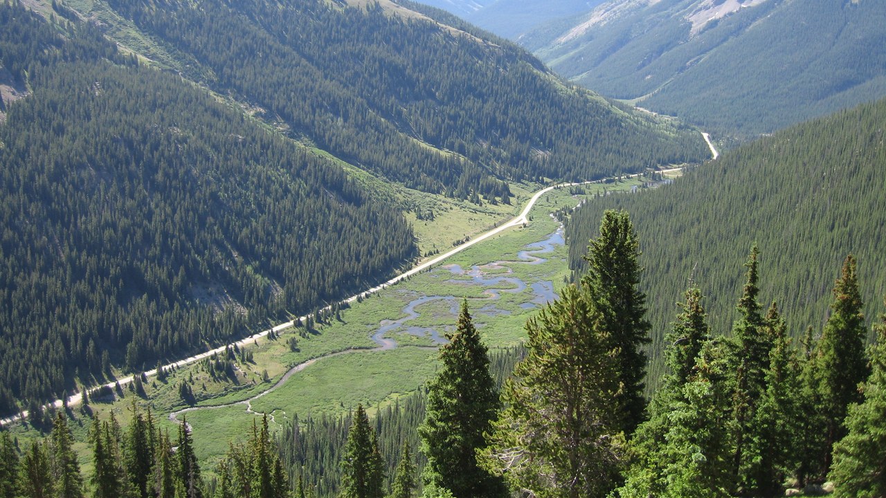
At 12,095 feet, Independence Pass gets enough snow that it is closed every winter, which isolates Aspen from direct access from the east during the ski season, according to Wikipedia.
The closure turns a mountain pass into a seasonal boundary for the town, since the direct eastern route is unavailable through the whole ski season. Travelers heading to Aspen in winter must therefore plan on a different approach than the one open in summer. The heavy snowfall at 12,095 feet is what keeps the road shut for the whole season.
10. Sonora Pass: Between November and May
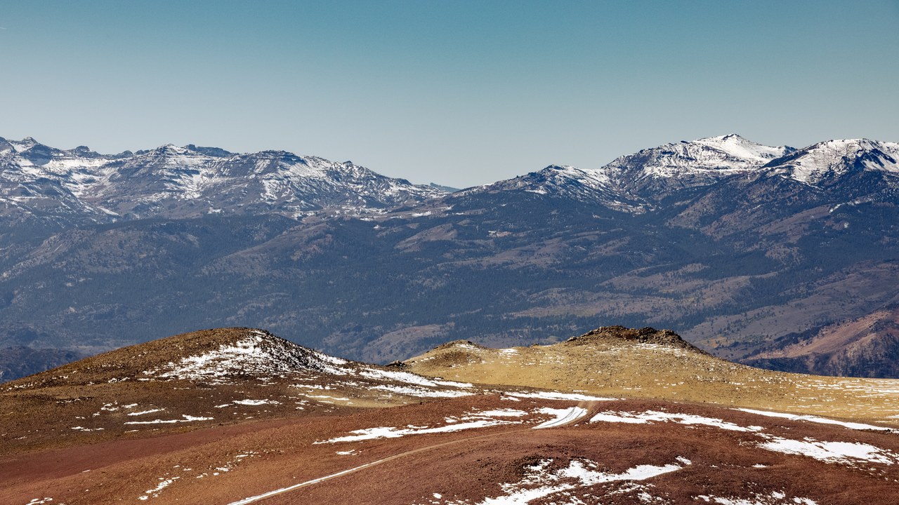
At 9,624 feet, Sonora Pass carries a highway that closes during winter, generally between November and May, because of snow accumulation. Wikipedia places it alongside Ebbetts Pass to the north and Tioga Pass to the south, which close for the season in the same way.
The shared pattern means the three crossings tend to be shut over the same stretch of the year, leaving the closed months as the main constraint for anyone planning a trip across. Because the closing is described as general, the actual gate dates can shift from one winter to the next, with November to May serving as a planning window and not a fixed schedule.
11. Ebbetts Pass: Late-Spring Reopenings
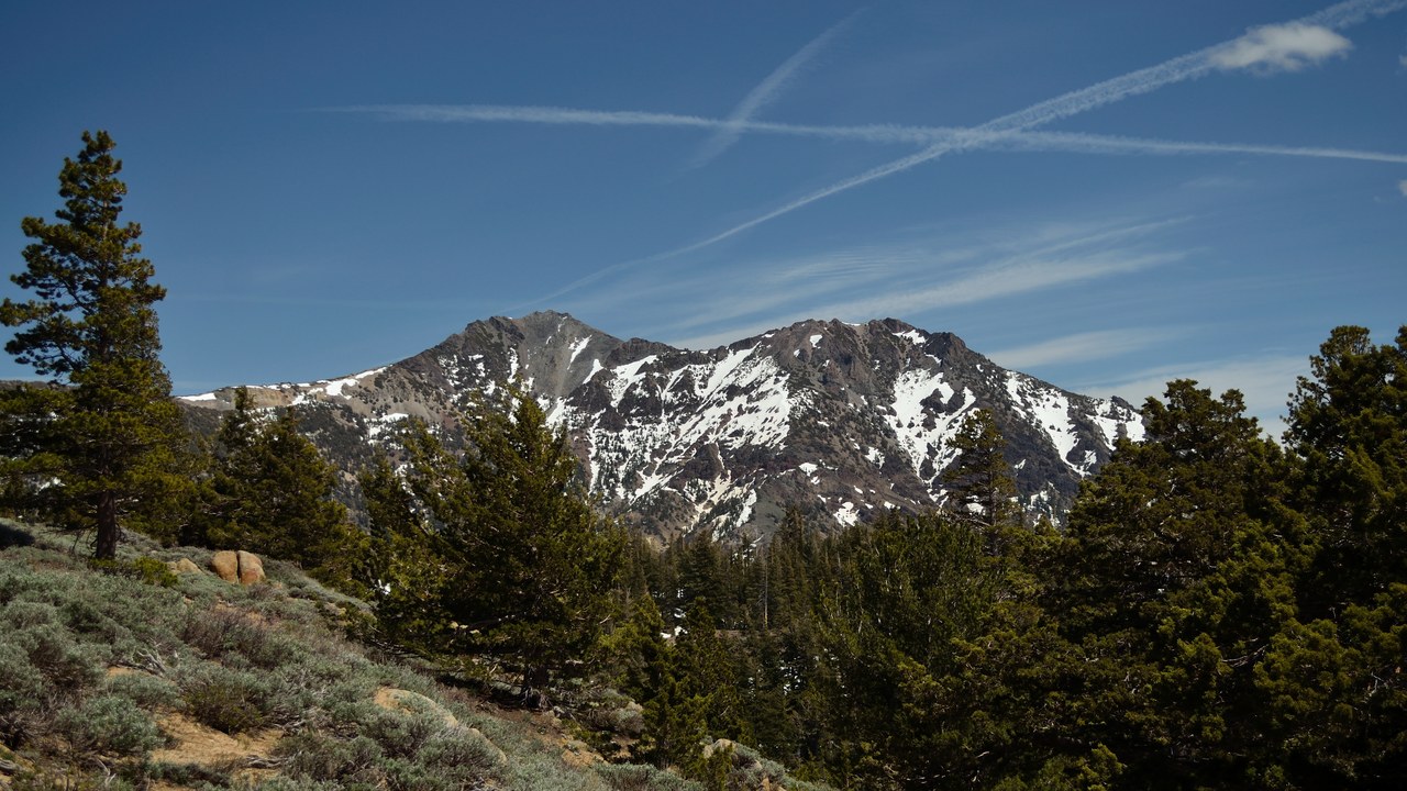
The 8,736-foot Ebbetts Pass closes through the winter months, often from November through as late as May, according to its Wikipedia entry. The closure spans a range of months and not a fixed schedule, so the exact dates vary.
That variability matters most at the end of the closure, where May is described as the latest point and not the usual one. Anyone hoping to cross in late spring has little certainty, so checking current conditions with the managing agency is the sound course.
12. Cottonwood Pass: Highest Paved Divide Crossing
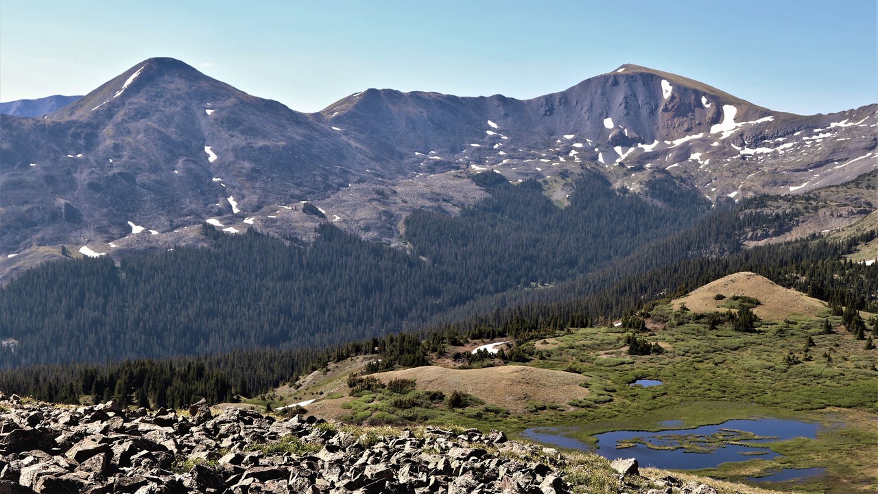
At 12,119 feet, Cottonwood Pass is the highest paved crossing of the Continental Divide in the country, and heavy snowfall closes it seasonally, typically from around October until sometime in May.
The long closure means the road’s altitude record is available to drivers for only part of the year, with the reopening left open-ended as sometime in May. The word typically signals that the actual gate dates vary with each winter’s snow. A given year can therefore fall outside that window, with the gate closing earlier or reopening later.
More from Morning Overview
- A geomagnetic storm is forecast to hit Earth today, pushing the northern lights unusually far south
- A recalled pill hid a stimulant dose linked to heart attacks and death
- Four U.S. startups fired up their first small nuclear reactors, aiming to power AI data centers on-site
- Card skimmers hidden on gas pumps and ATMs are draining accounts, and here’s the tell
