
High above the Arctic, the winds that normally circle the North Pole slowed, stopped and reversed in early November, the earliest such collapse on record. Forecasters say the disruption has already sent cold air south and could bring a second wave. Here is what happened and what may follow.
Read next on Morning Overview: Winter weather advisories cover I-80, I-70 and the Bighorns with up to 15 inches of snow
Stratospheric polar vortex: A Record Early Collapse
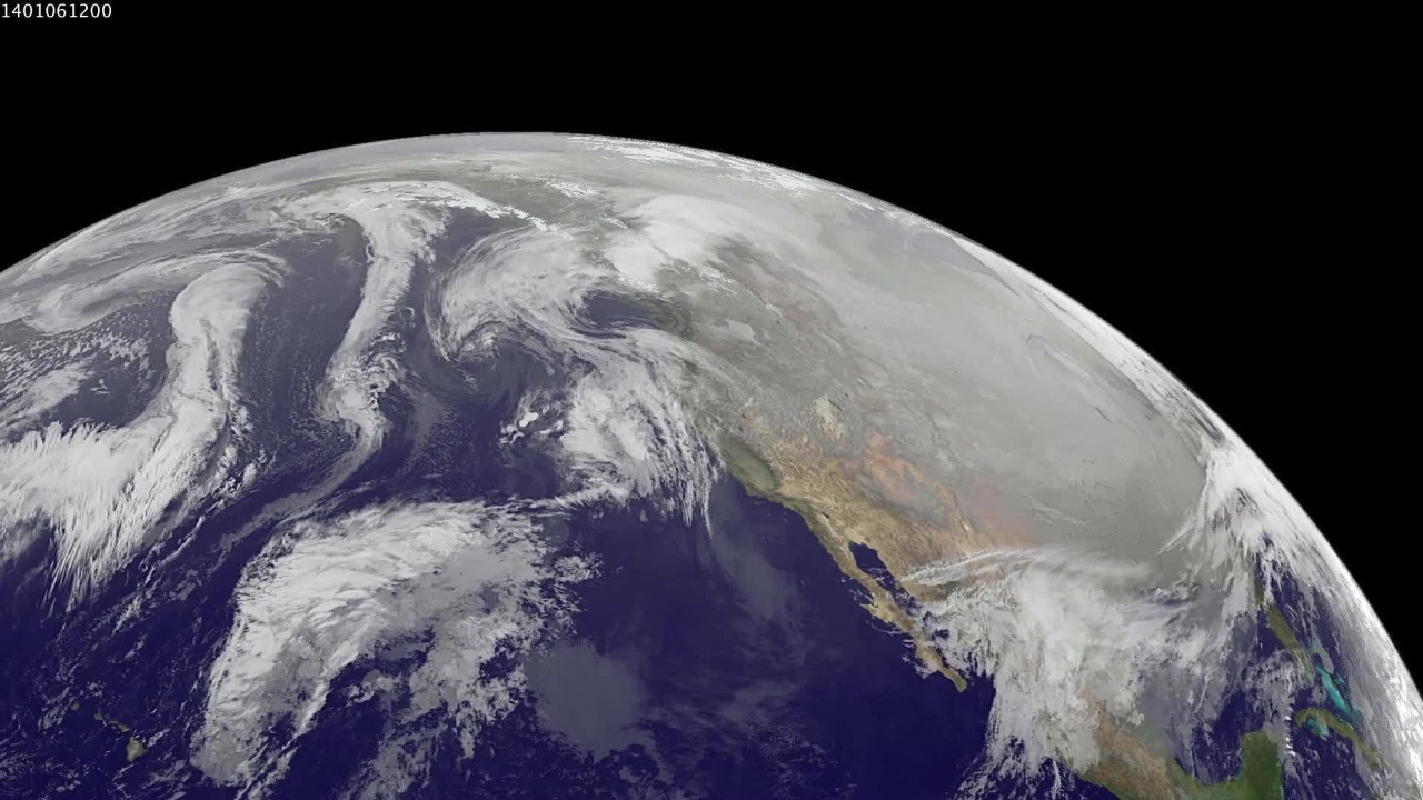
Around November 10, the winds of the stratospheric polar vortex slowed, stopped and then reversed direction, according to The Watchers’ report on the event. It was the earliest major sudden stratospheric warming since reliable records began in 1958.
The polar vortex is a band of strong winds high in the atmosphere that usually keeps frigid air locked over the Arctic. When it weakens or reverses, that cold air can spill south into North America, Europe and Asia. The disruption can take one to three weeks to work its way down from the stratosphere to the weather people feel at the surface.
Winds at 60 North: Winds Dropped in Eight Days

Polar vortex winds at 60 degrees north fell from 22.13 to 5.44 meters per second in eight days, according to an earlier Watchers report on the rare November disruption.
Scientists measure the strength of the vortex at that latitude because it captures the core of the circulation around the pole. A drop that steep in such a short time is unusual so early in the season, when the vortex is normally still strengthening ahead of winter. The speed of the decline caught the attention of forecasters on both sides of the Atlantic. Close monitoring continues. Data will keep flowing. Records were broken.
Northeastern United States: An Early Taste of Winter
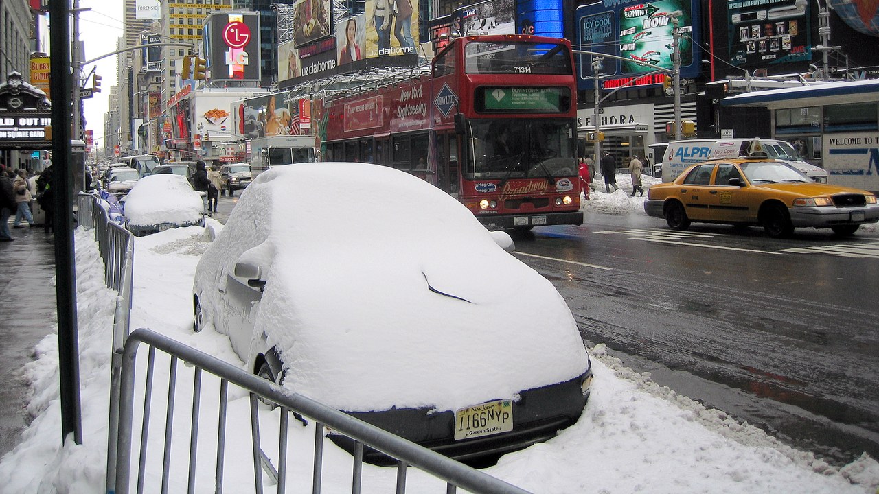
Cold air spilled south and gave the Northeastern United States an early taste of winter, according to The Watchers. Forecast models suggest the eastern U.S. could see another drop in temperatures around Thanksgiving.
That timing matters for millions of holiday travelers and for heating costs, which rise sharply during cold snaps. Forecasters caution that a vortex disruption raises the odds of cold weather but does not guarantee it, since the exact path of the cold air depends on other weather patterns. Residents in the Northeast and Midwest are advised to prepare homes and vehicles for sudden cold, including checking furnaces and keeping emergency supplies on hand.
Chicago: Lessons From 2019
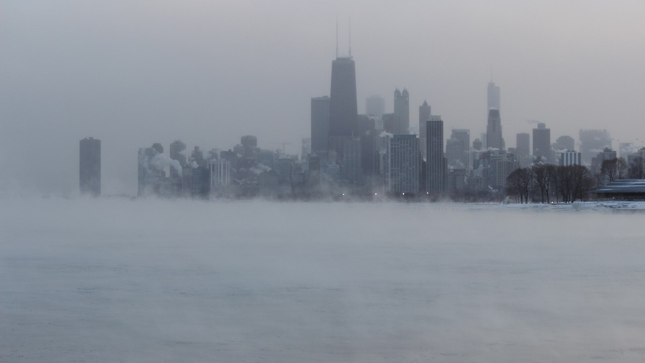
A similar disruption in January 2019 split the polar vortex and sent temperatures in Chicago down to minus 23 degrees Fahrenheit, according to The Watchers.
During that outbreak, rail crews set fires along tracks to keep switches working, and mail delivery was suspended in parts of the Midwest. The 2019 event shows how severe the effects can be when Arctic air reaches heavily populated areas, which is why forecasters watch the vortex so closely. Temperatures that low can cause frostbite on exposed skin within minutes, and officials urged people to stay indoors during the worst of the cold. Schools closed too.
El Niño: A Counterweight From the Pacific
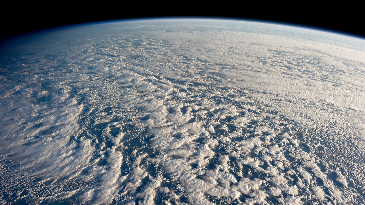
A strong El Niño usually brings milder conditions to the northern United States, according to The Watchers’ El Niño report. This winter, a strong El Niño and a disrupted polar vortex are both in play.
Those two forces can pull in opposite directions, making the winter outlook harder to predict than usual. El Niño tends to steer storms across the southern states while keeping the north milder, but cold air released by the vortex could override that pattern for weeks at a time. Forecasters will update their outlooks as the season unfolds, and the next few weeks will show which influence wins out.
More from Morning Overview
- Two Kentucky residents died when a small plane crashed at Missouri’s Lake of the Ozarks, and the NTSB is investigating
- A handful of car transmissions are so tough that mechanics say they almost never die
- Melting permafrost is setting off a newly identified kind of catastrophic landslide, scientists say
- Cadillac cut the price of its cheapest EV, which goes up to 317 miles on a charge
