
California is bracing for two atmospheric rivers in quick succession this week, a pattern that can turn a soaking into a flood. Forecasters expect heavy rain along the coast and feet of snow in the Sierra Nevada from Tuesday night into Friday. Here is what the forecasts show, region by region.
Read next on Morning Overview: A handful of car transmissions are so tough that mechanics say they almost never die
Bay Area and Central Coast: Inches of Rain on the Coast

The National Weather Service is forecasting storm totals of 2 to 3 inches of rain for the Bay Area and Central Coast, with 3 to 5 inches in the coastal ranges, according to a summary of the NWS and WPC forecasts. The Weather Prediction Center has placed central coastal California under a Slight Risk of excessive rainfall on Wednesday, November 18.
Back-to-back storms are dangerous because the first one saturates the ground, leaving little room for the second to soak in. Hillsides that burned in recent fire seasons are especially prone to debris flows when heavy rain falls on them. Residents in low-lying neighborhoods and near creeks should watch local alerts closely as the second system arrives.
Northern Sierra: Feet of Snow in the Mountains
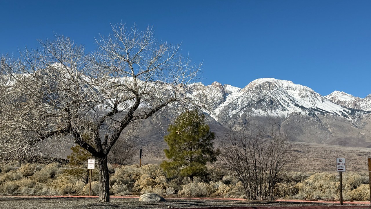
Forecasters with the National Weather Service in Sacramento expect 1 to 2 feet of snow above about 5,000 feet in the northern Sierra and southern Cascades, with up to 3 feet on the highest peaks, according to the same forecast summary.
Heavy early-season snow is welcome news for California’s water supply, since the Sierra snowpack feeds reservoirs through the dry months. It is also a hazard for travelers, and the forecast warns that mountain travel could become very difficult to impossible from Tuesday night into early Friday. Drivers heading to the mountains should carry chains, water and warm clothing. Ski areas will welcome it.
Donner Pass: More Snow Over a Key Pass
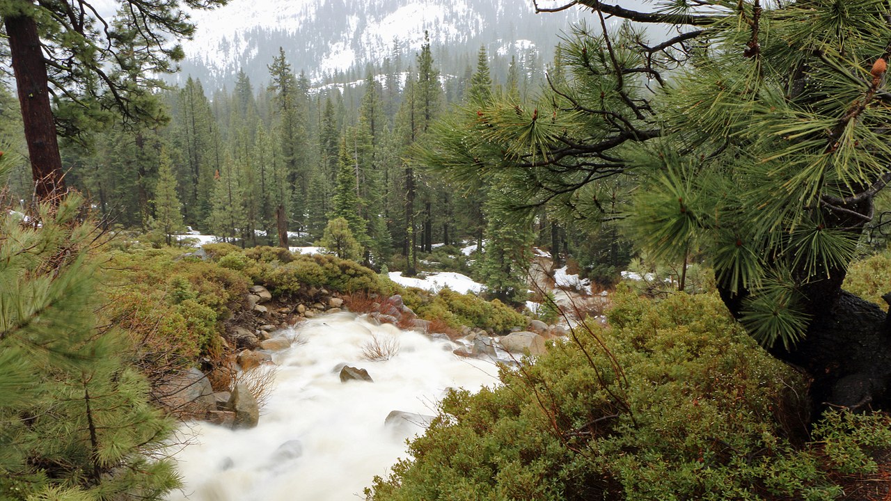
More than a foot of additional snow is forecast over Donner Pass, according to AccuWeather’s outlook for the western storms. The pass carries Interstate 80, the main highway link between the San Francisco Bay Area, Sacramento and Reno.
Snow on Donner Pass can trigger chain controls and full closures of the interstate, stranding trucks and holiday travelers. Caltrans often holds traffic until plows can clear the road, so drivers planning a trip across the Sierra this week should check road conditions before leaving and be ready to wait out the storm. Truckers often wait for hours. Patience pays off. Plan ahead.
Snow levels: Falling Snow Levels
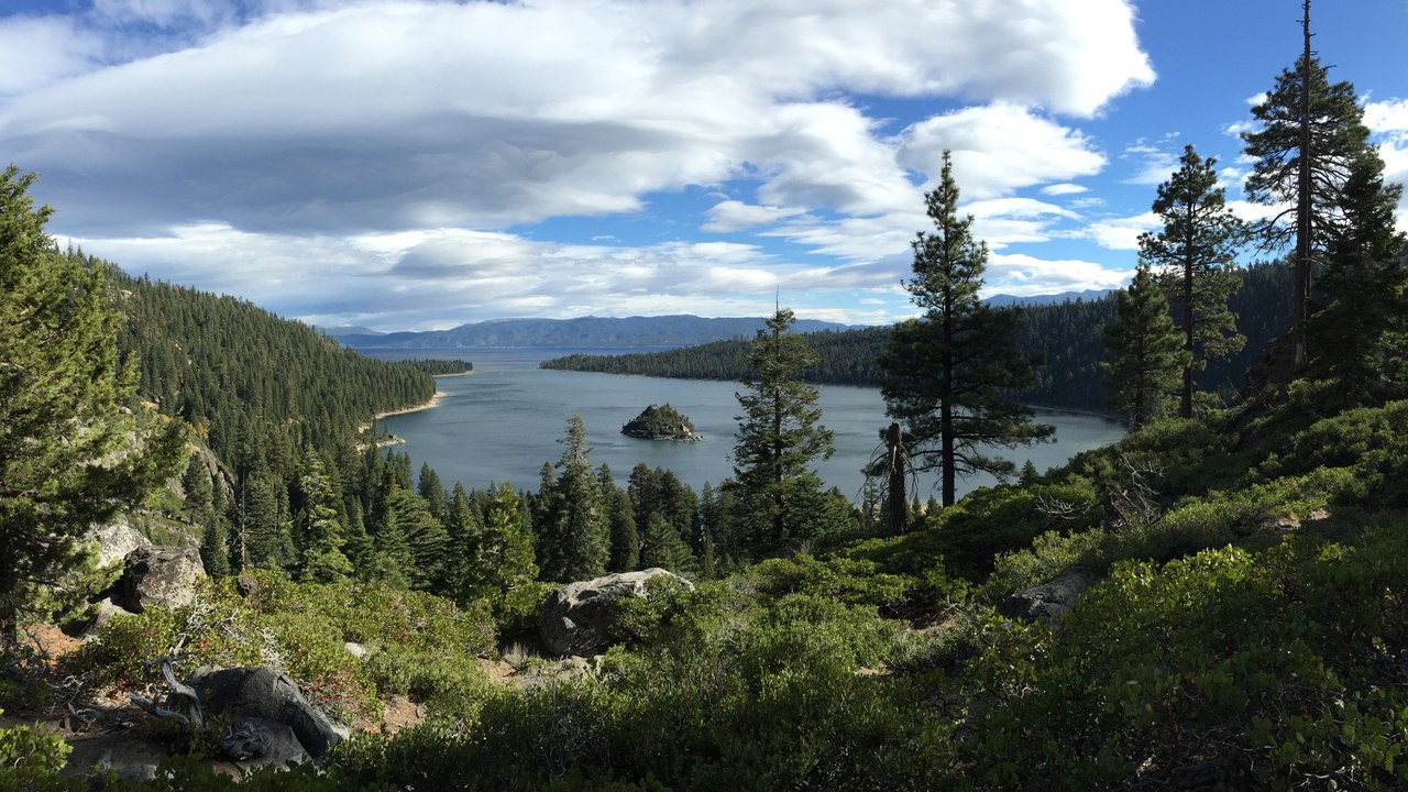
Snow levels are expected to fall to 5,000 to 6,000 feet as the second storm arrives, according to AccuWeather. That brings snow down to elevations where many mountain communities and ski areas sit.
Lower snow levels mean snow-covered roads in places that may have seen only rain during the first storm. For ski resorts, the cold second system could provide a strong base early in the season. For residents in foothill towns, it raises the risk of falling trees and power outages under the weight of wet snow. Some areas may lose power for a day or more. Crews will be busy.
Pacifica seawall: Giant Waves Before the Storms
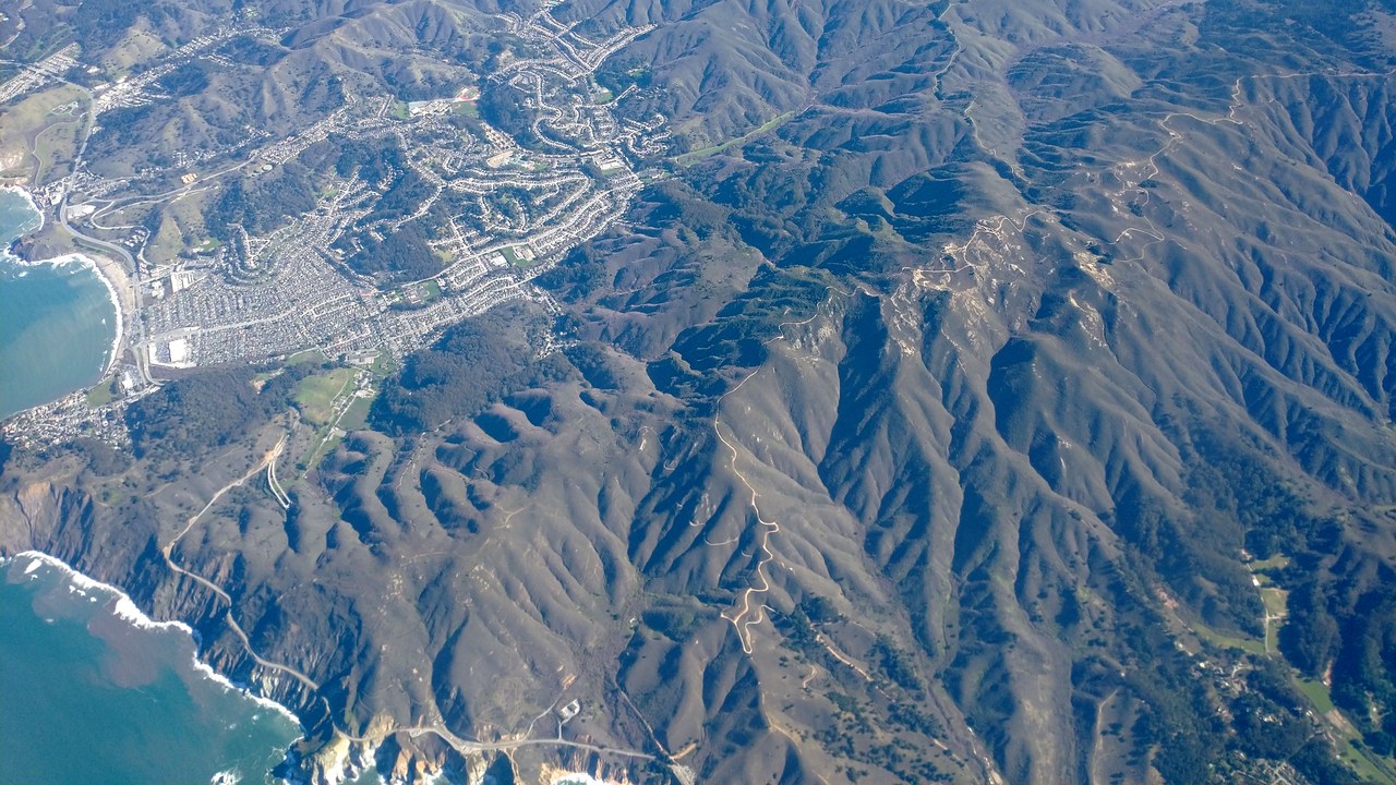
Before the storms even arrived, waves above 50 feet were recorded off San Mateo County, according to a report on huge waves along the California coast. Pacifica, which sits on that stretch of coast, has a long history of erosion that has threatened homes and seawalls.
Big surf combined with heavy rain and high tides can push water over seawalls and undercut cliffs. Officials closed piers in several coastal cities during the high surf. Beachgoers are urged to stay off rocks and jetties, where sneaker waves can sweep people into the cold ocean without warning. Lifeguards will be on alert.
More from Morning Overview
- The Justice Department asked courts to undo approvals for three offshore wind farms, one already making power
- Over 20 trillion gallons of rain fell on the Four Corners states and Nevada in two weeks
- 11 engines built to run well past 200,000 miles
- Two Kentucky residents died when a small plane crashed at Missouri’s Lake of the Ozarks, and the NTSB is investigating
