
On a winter night in 1700, a giant earthquake dropped stretches of the Pacific Northwest coast into the tidal zone, and the dead cedars it left behind still stand. Those ghost forests, along with Japanese tsunami records, revealed when the Cascadia fault last ruptured. These eight pictures follow the clues scientists used and what coastal towns are doing to prepare for the next one.
Read next on Morning Overview: A handful of car transmissions are so tough that mechanics say they almost never die
Copalis River: Trees That Stopped Growing in 1699
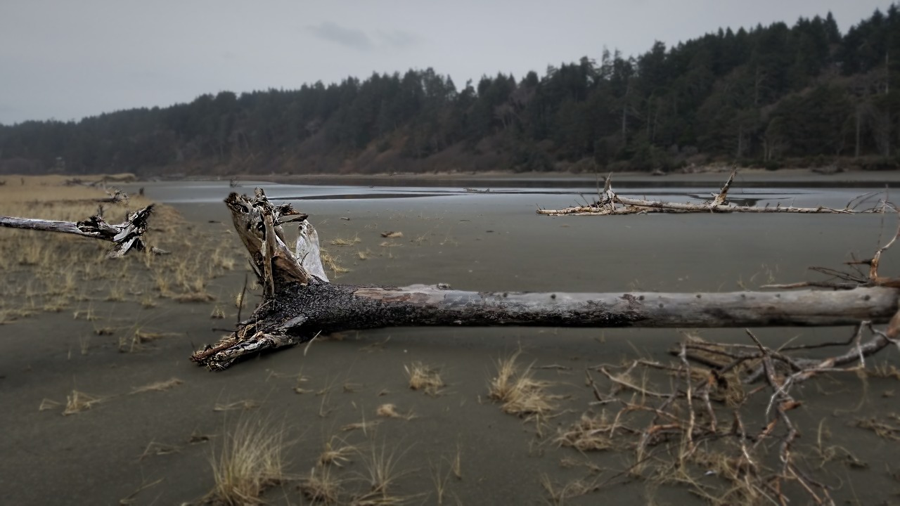
Inland along Washington’s Copalis River stands a ghost forest of dead western red cedars. The record of the 1700 Cascadia earthquake explains that their outermost growth rings formed in 1699, the last growing season before the quake lowered coastal forests into the tidal zone and killed them.
Tree rings like these provided the most important clue linking a tsunami recorded in Japan to an earthquake in the Pacific Northwest. Japanese records and reconstructions of the wave place the quake at about 9 p.m. Pacific time on 26 January 1700, with an estimated magnitude of 8.7 to 9.2.
Seattle: A Region Built for Smaller Shocks
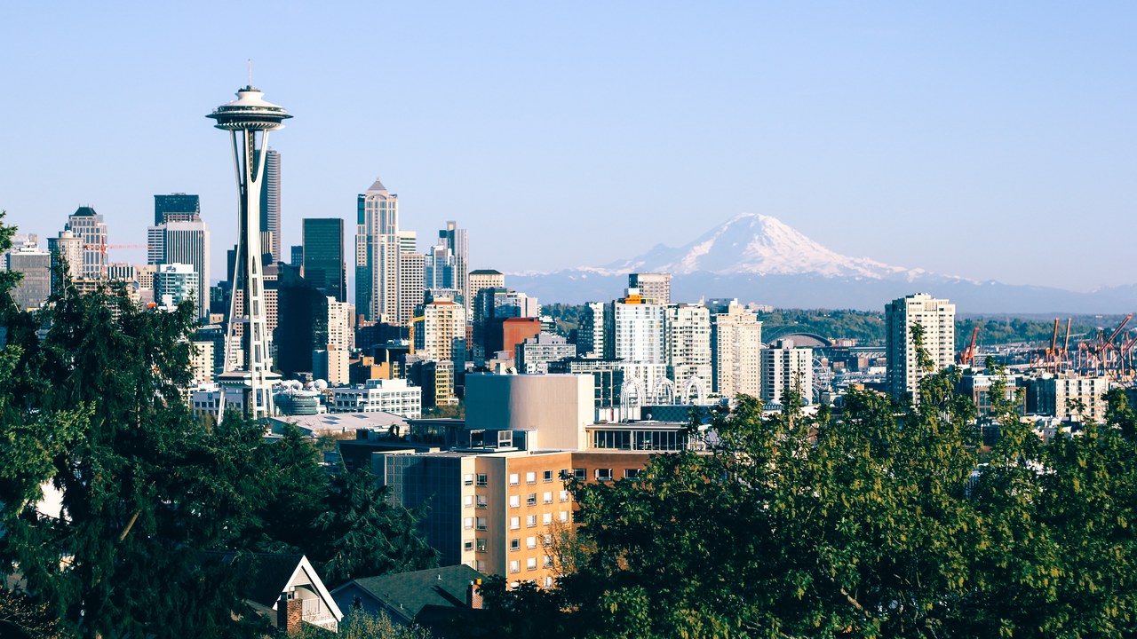
The geological record shows that great quakes of magnitude 8 or higher strike the Cascadia subduction zone about every 500 years on average, with evidence of at least 13 events. In 2010, geologists estimated a 37 percent chance of a magnitude 8.2 or larger quake within 50 years, according to the 1700 Cascadia earthquake record.
Big cities such as Seattle, Portland and Tacoma might be sheltered from the full force of a tsunami, but they have many vulnerable bridges and unreinforced brick buildings, so most damage there would likely come from the shaking. One expert argues that Seattle’s buildings are inadequate even for a quake the size of San Francisco’s in 1906.
Miyako, Iwate: Where the Orphan Tsunami Landed
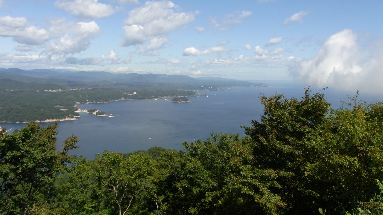
Japanese records of the 1700 wave come mainly from today’s Iwate Prefecture, in communities such as Tsugaruishi, Miyako’s Kuwagasaki and Ōtsuchi. The account of the Japanese records says waves estimated at 2 to 5 meters hit on 27 and 28 January 1700, and at Kuwagasaki 13 houses were destroyed by flooding and 20 more in a later fire.
Because no one in Japan felt an earthquake first, the waves became known as an orphan tsunami. The rupture behind them ran about 1,000 kilometers along the Pacific Northwest coast, with the Juan de Fuca plate slipping an average of 20 meters, or 66 feet.
Neskowin Ghost Forest: Stumps Revealed by Winter Storms
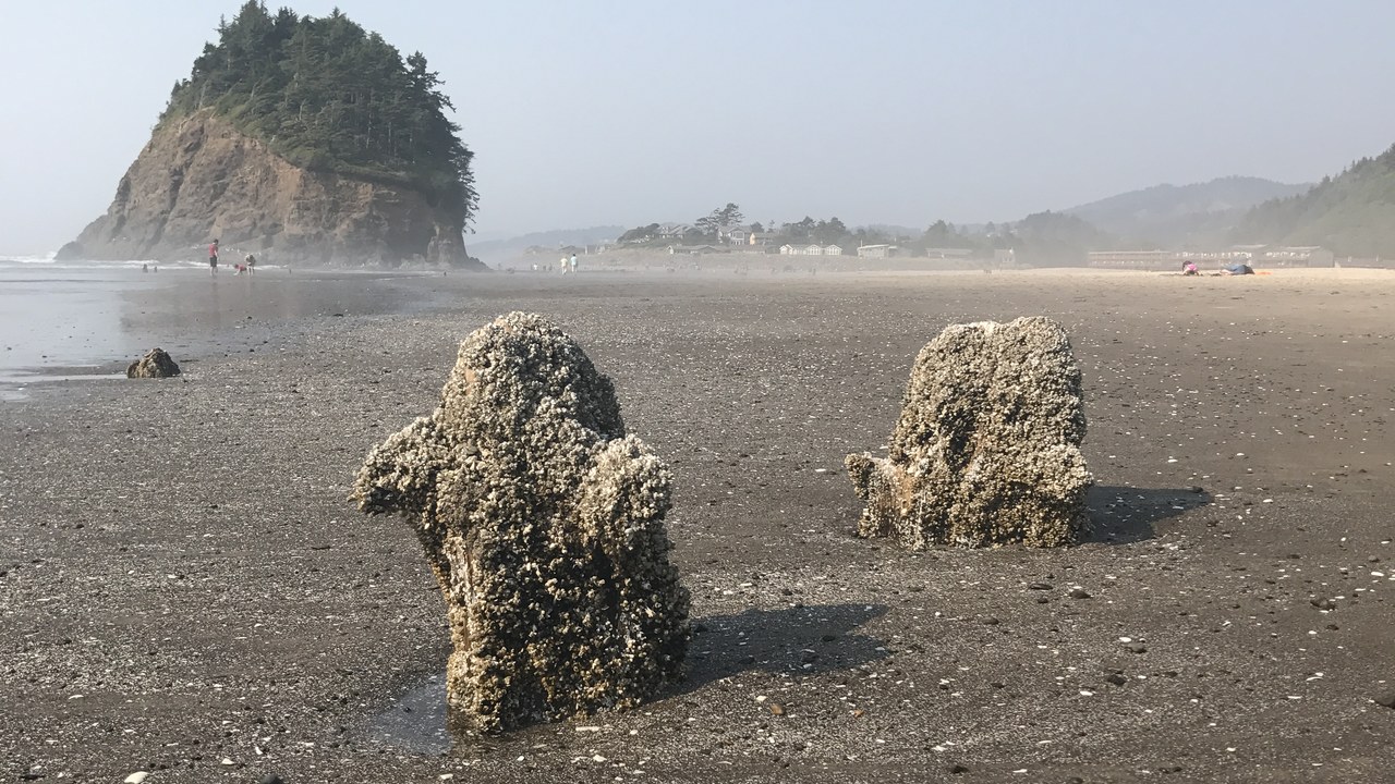
On the Oregon coast near Proposal Rock, the stumps of the Neskowin Ghost Forest emerge from the sand at low tide. The Neskowin Ghost Forest record says the Sitka spruce stumps are about 2,000 years old, preserved by salt water, and were exposed when storms swept away sand during the winter of 1997 to 1998.
Geologists found the soil at the roots was buried abruptly, pointing to a sudden event like a Cascadia earthquake, though some local geologists argue that dunes buried the trees gradually. It is one of more than 30 ghost forests along the Oregon and Washington coast.
Neah Bay: A Discovery at Low Tide
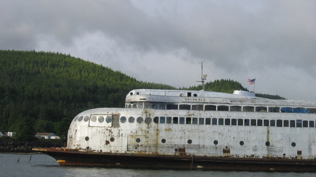
In March 1986, paleogeologist Brian Atwater dug along Neah Bay at low tide with a small Japanese hand hoe. Under a top layer of sand, the account of Cascadia’s discovery says, he found arrowgrass that had grown in a marsh soil, evidence that the ground had suddenly sunk below sea level and saltwater had killed the plants.
The next year, Atwater paddled up the Copalis River with David Yamaguchi and found a ghost forest. Closer study showed the land there had dropped up to 2 meters in an earthquake, and tree-ring dating narrowed the trees’ death to the winter of 1699 to 1700.
Cape Mendocino: Where the Fault Ends
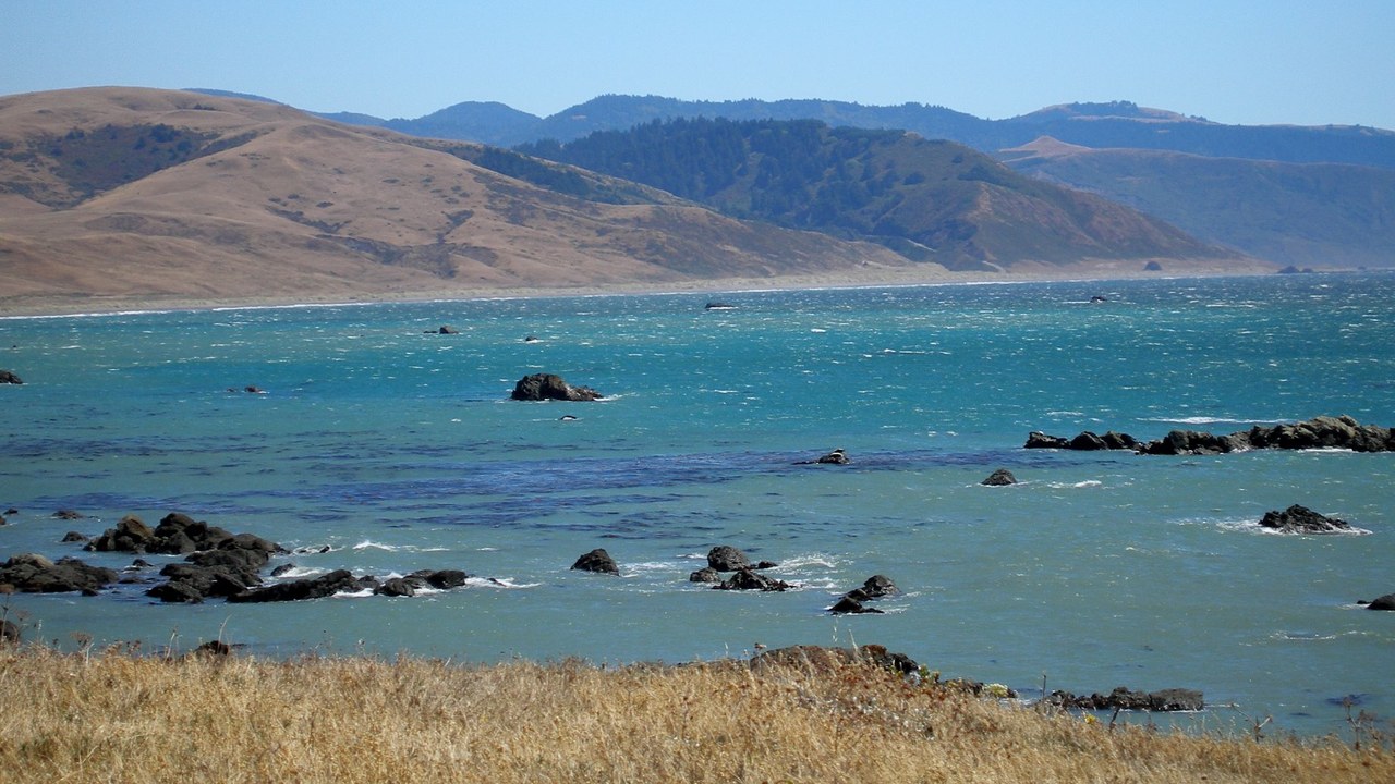
The southern end of the Cascadia subduction zone lies off Cape Mendocino, the westernmost point on California’s coast. Offshore is the Mendocino triple junction, where three tectonic plates meet: the San Andreas Fault runs south, and Cascadia runs north as the Gorda plate dives beneath North America.
In April 1992, three strong earthquakes struck near the town of Petrolia and offshore, one reaching magnitude 7.2, and the shaking set off fires that burned historic buildings. Many geologists believe the main shock may be a forerunner of a much more powerful earthquake in the Pacific Northwest.
Westport, Washington: A School Built to Ride Out a Tsunami
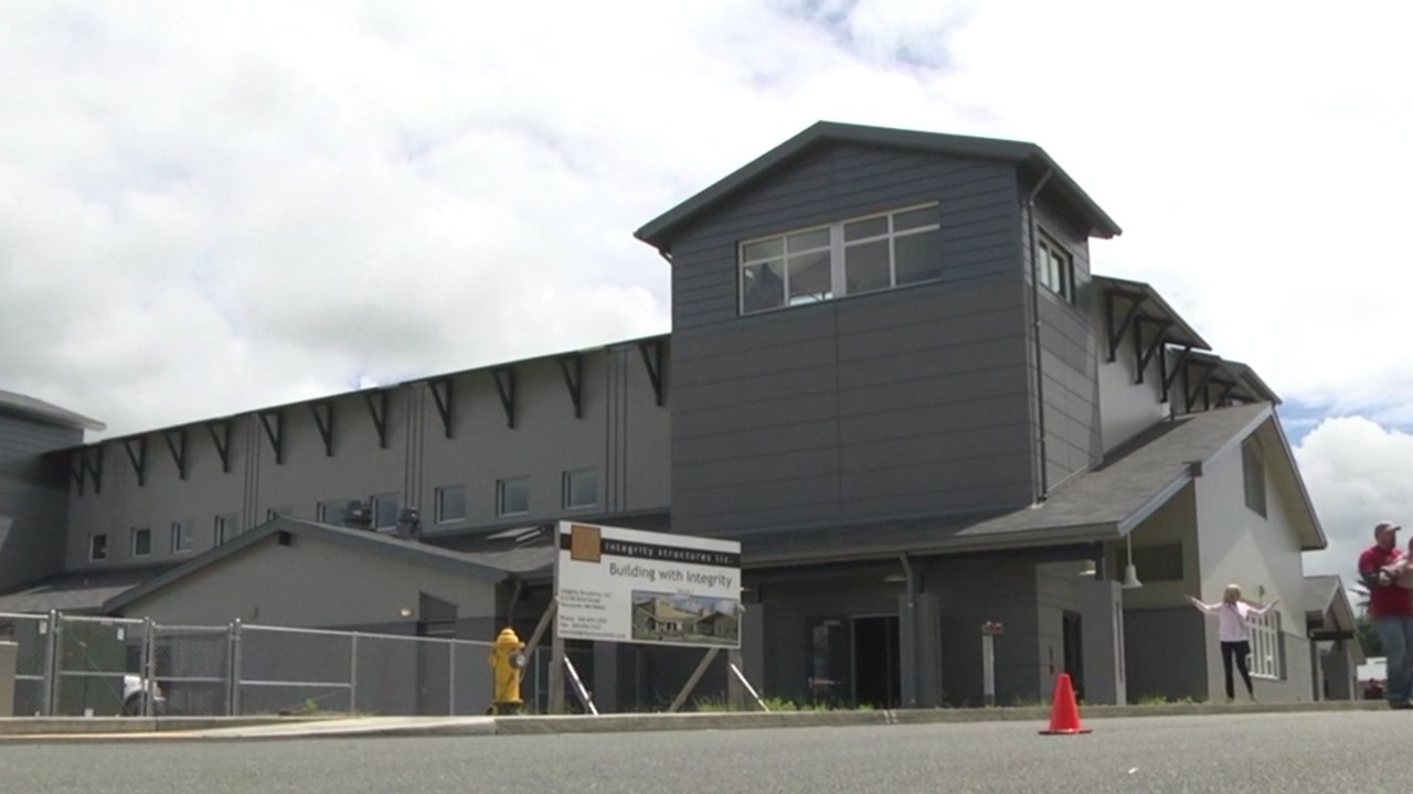
In Westport, Washington, the rebuilt Ocosta Elementary School doubles as a tsunami refuge. Its engineers describe it as the first tsunami vertical evacuation structure in the U.S., completed in 2016, with the gymnasium roof designated as a safe refuge for more than 1,000 people.
The refuge sits 55 feet above sea level and 28 feet above the ground, designed to survive a Cascadia earthquake and then the force of the tsunami that follows. Its reinforced concrete stair towers, concrete-encased columns and drilled piles are meant to resist debris impacts, scouring and liquefaction.
Long Beach, Washington: A Town Still Seeking High Ground
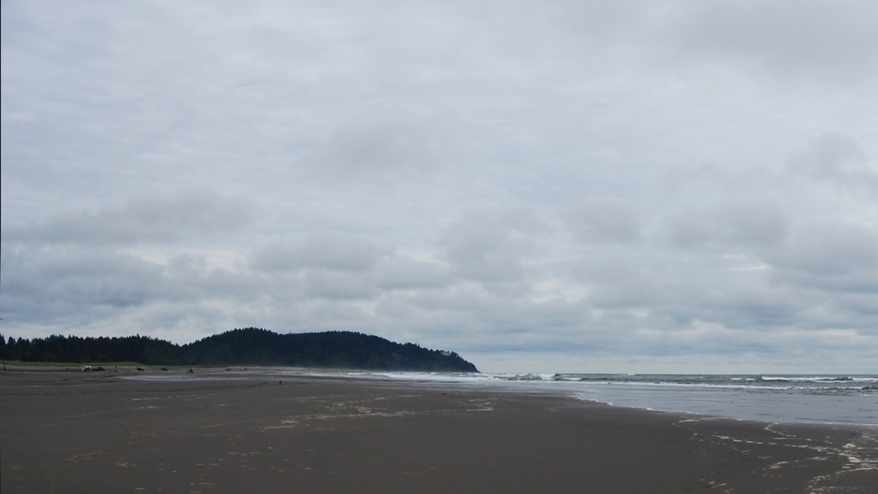
Long Beach, Washington, has struggled to build its own refuge. In 2017 the city shelved a planned berm behind Long Beach Elementary after a study found it would need to stand 62.4 feet above average high tide, and in November 2024 the Chinook Observer reported that councilors had authorized a new funding application for an evacuation tower.
The tower would be designed to hold at least 800 people, modeled on a 50-foot tower the Shoalwater Bay Indian Tribe built in Tokeland. The earlier berm effort cost hundreds of thousands of dollars before it was abandoned.
More from Morning Overview
- The Justice Department asked courts to undo approvals for three offshore wind farms, one already making power
- Over 20 trillion gallons of rain fell on the Four Corners states and Nevada in two weeks
- 11 engines built to run well past 200,000 miles
- Two Kentucky residents died when a small plane crashed at Missouri’s Lake of the Ozarks, and the NTSB is investigating
