
In 1958 an earthquake shook a mountainside into an Alaska bay and sent water surging 1,740 feet up the opposite slope, the largest splash wave ever recorded. As glaciers retreat, steep Alaskan slopes keep failing into fjords, and a 2025 landslide in Tracy Arm came close to that record. These eight pictures show where the giant waves struck and the slopes scientists now watch.
Read next on Morning Overview: Two Kentucky residents died when a small plane crashed at Missouri’s Lake of the Ozarks, and the NTSB is investigating
Lituya Bay: The Largest Splash Wave Ever Recorded
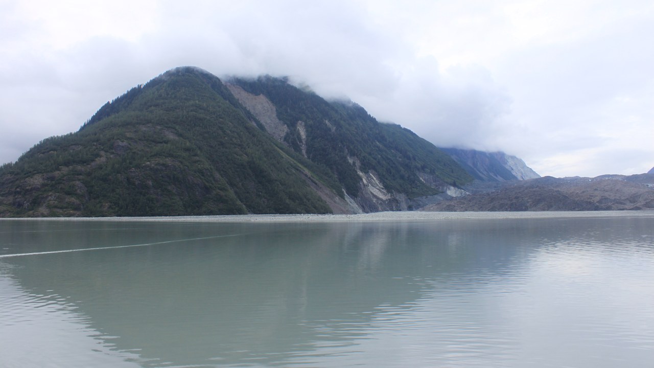
Lituya Bay, on Alaska’s Pacific coast about 100 miles southeast of Yakutat, is the site of the largest splash wave ever recorded. In July 1958, a magnitude 8.3 earthquake shook loose a huge landslide, and the account from the University of Alaska Fairbanks says the wave that followed reached 1,740 feet above sea level on a hill opposite the slide.
The waves stripped the bark from thousands of trees, some four feet across. Geologist Don Miller later dated trim lines on the hillsides and confirmed giant waves in 1936, with evidence of similar ones in the 1850s and 1874, putting the odds of one on any given day at 9,000 to 1.
Fairweather Range: The Fault Beneath the Bay
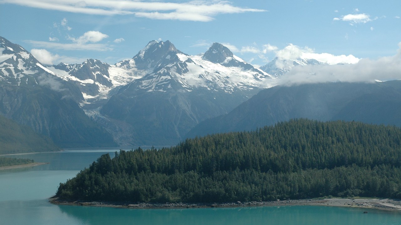
Lituya Bay is seven miles long and two miles wide, a glacier-carved T-shaped inlet nestled within the snow-covered Fairweather Range. According to the Geophysical Institute’s account, the inland part of the bay lies directly on the Fairweather fault, which, like the San Andreas, causes earthquakes when it slips from side to side.
The bay’s narrow mouth has its own dangers: tidal currents there reach about 14 miles per hour and killed 21 of French explorer La Perouse’s men. In 1958, the giant wave carried one fishing boat over La Chaussee Spit at the entrance and into the open ocean; its captain and his wife survived.
Tracy Arm: A Near-Record Wave in 2025
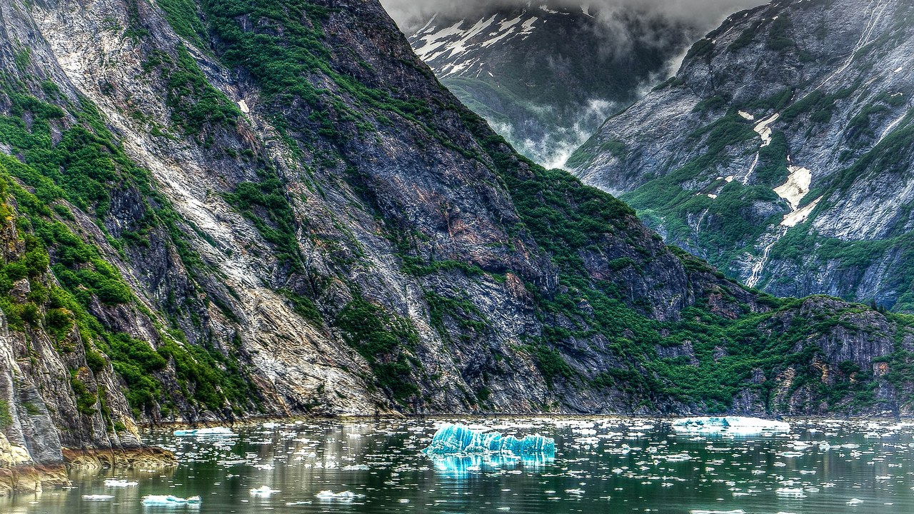
On 10 August 2025, a landslide above the terminus of South Sawyer Glacier fell into Tracy Arm, a fjord about 80 miles south-southeast of Juneau. The U.S. Geological Survey’s event page says the slide, about 64 million cubic meters of rock, sent water surging 481 meters, about 1,580 feet, up the slope opposite. No injuries or deaths were reported.
Kayakers camped on Harbor Island at the mouth of Tracy Arm reported their gear swept away, and photos suggested a wave at least 100 feet high at Sawyer Island. The tsunami was also recorded on a tide gauge in Juneau.
South Sawyer Glacier: The Glacier That Let Go
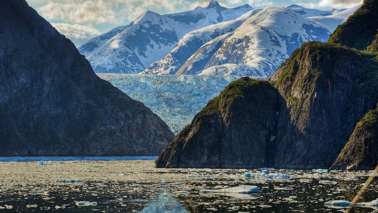
The Tracy Arm landslide began on the slope above South Sawyer Glacier, and the glacier itself has been shrinking fast. The USGS overview map notes that the glacier has retreated more than a kilometer from what older imagery shows.
The USGS warns that steep, mountainous landslide areas are inherently unstable and will keep changing for years after an initial slide, with continued rockfall and smaller landslides possible. Its staff flew a helicopter survey of the area on 13 August 2025, three days after the slide, to photograph the scar.
Taan Fiord: A 620-Foot Wave in a Remote Park
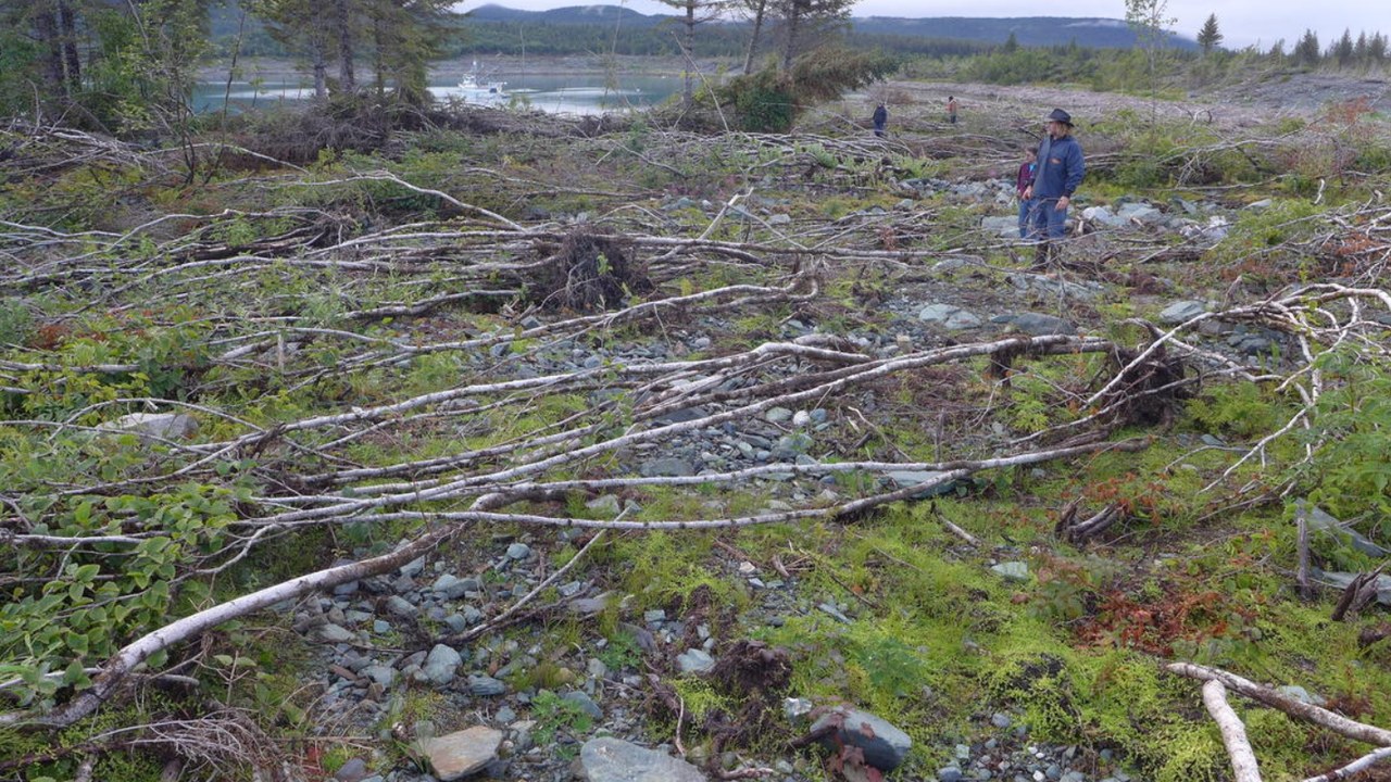
In 2015, a large landslide fell into Taan Fiord in Wrangell-St. Elias National Park. The USGS record of Alaska landslide tsunamis says the resulting wave ran up more than 190 meters, about 620 feet, directly across from the slide.
The USGS notes that slopes like these, which could fail into lakes, fjords and bays, are relatively common in Alaska’s steep, glaciated mountains. More recently, in August 2024, a landslide in Pedersen Glacier lagoon produced a tsunami runup of 17 meters, about 56 feet.
Barry Arm: The Slope Scientists Watch Most
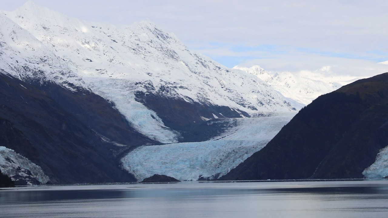
Barry Arm, a fjord in western Prince William Sound, became the focus of monitoring after Barry Glacier receded. Reporting by the Alaska Beacon in the Anchorage Daily News says the glacier’s retreat had exposed 600 million cubic yards of terrain by 2020, six times the size of the 2015 Taan Fjord landslide.
Historic photographs show the slope has been moving gradually since at least the 1930s, and by 2020 it had episodes of movement reaching 2 meters in 30 days. A federally funded monitoring program has since made it one of the most instrumented mountain slopes in Alaska.
Whittier, Alaska: The Town in the Wave’s Path
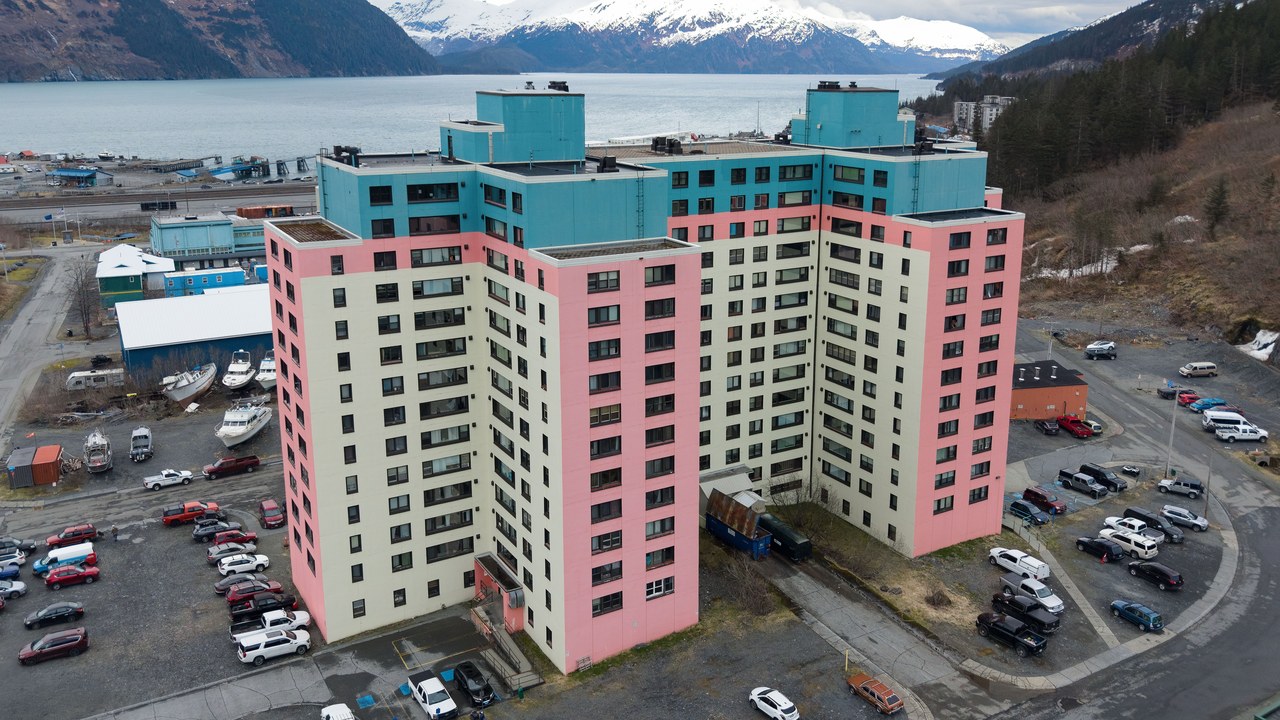
Whittier, a harbor town a 60-mile drive from Anchorage, is the closest coastal community to Barry Arm, about 30 miles away. After the first year of on-site monitoring, the latest risk assessment says scientists downgraded their worst-case scenario from a 30-foot wave at Whittier to a 7-foot wave arriving about half an hour after a collapse.
That would still be dangerous: a full collapse could send water more than 500 meters up the opposite fjord wall and produce waves over 200 meters high in the northern part of Barry Arm, where boaters, fishers, hikers and sightseers travel.
Prince William Sound: Dozens of Slopes on the Move
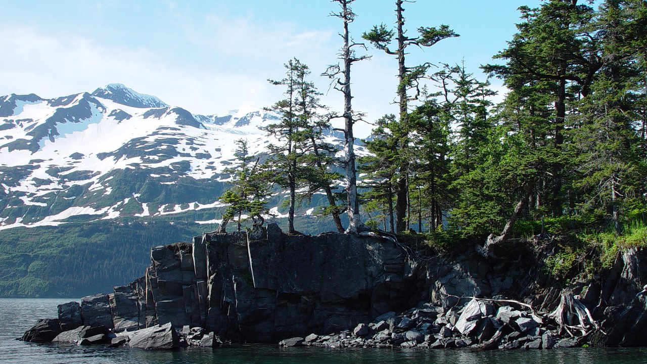
Prince William Sound is home to several communities and busy commercial traffic, from fishing boats to oil tankers, and hundreds of thousands of visitors a year. A 2024 USGS study described by the Alaska Beacon used satellite data to find 43 sites in the sound where landslides occurred between 2016 and 2022.
Fourteen of those sites were previously known, and 11 have the potential to generate tsunamis. In September 2024, a series of five landslides at Surprise Inlet triggered a localized tsunami at a spot seismologists had visited on a field trip just five months earlier.
More from Morning Overview
- Shaq spent $1.3 million on three Rolls-Royce Phantoms to prove a point to a salesman
- The Justice Department asked courts to undo approvals for three offshore wind farms, one already making power
- Over 20 trillion gallons of rain fell on the Four Corners states and Nevada in two weeks
- 11 engines built to run well past 200,000 miles
