
Road fatality figures depend on traffic volume, length and region, which is why a few long corridors keep appearing at the top of crash rankings. This list draws on federal data compiled by traffic analysts and publishers. Here are twelve roads where the most lives were lost, plus one famous mountain stretch.
The tech news worth your time: 400,000+ professionals from Google, Apple and OpenAI read Techpresso, a daily email with the most interesting tech news and insights.
We may earn a commission if you sign up.
1. Interstate 95: Most Interstate Deaths

Running the length of the East Coast, this corridor tops the national tally, since a Stacker federal analysis counts 379 deaths in 2020, equal to 19.7 per 100 miles.
Heavy truck traffic and dense urban stretches explain much of the toll. Drivers who plan rest stops and avoid peak hours reduce their exposure on the busiest segments. Because the statistic is a count, it partly reflects how many drivers use the road, and a busy corridor can lead the list even if each mile is not the riskiest.
2. Interstate 10: Southern Sunbelt Artery
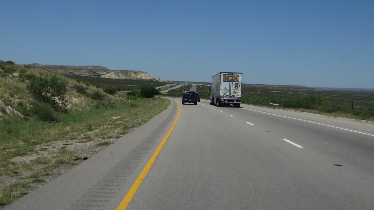
Linking California to Florida across the southern states, this highway was second only to its eastern cousin with 325 deaths in 2020, according to the same federal crash analysis, a rate of 13.2 per 100 miles.
Long distances between towns lead to fatigue, and speeds are high. Sharing the road with heavy freight adds to the hazard. Fatigue, impaired driving and speeding appear repeatedly in crash reports for long-haul corridors, which is why highway agencies focus on rumble strips, lighting and enforcement.
3. Interstate 40: Cross-Country Truck Route

Stretching from the Southwest to North Carolina, this road ranks third, as the Stacker ranking lists 270 deaths in 2020 and 10.6 per 100 miles.
Its mix of rural and metro segments brings varied dangers, from wind and weather to congestion. Staying alert on lengthy desert and plains legs is a recurring safety message. Trucking companies adjust schedules to avoid the worst stretches, while private motorists benefit from simple measures such as seat belts, steady speeds and plenty of following distance.
4. Interstate 80: Coast-To-Coast Corridor
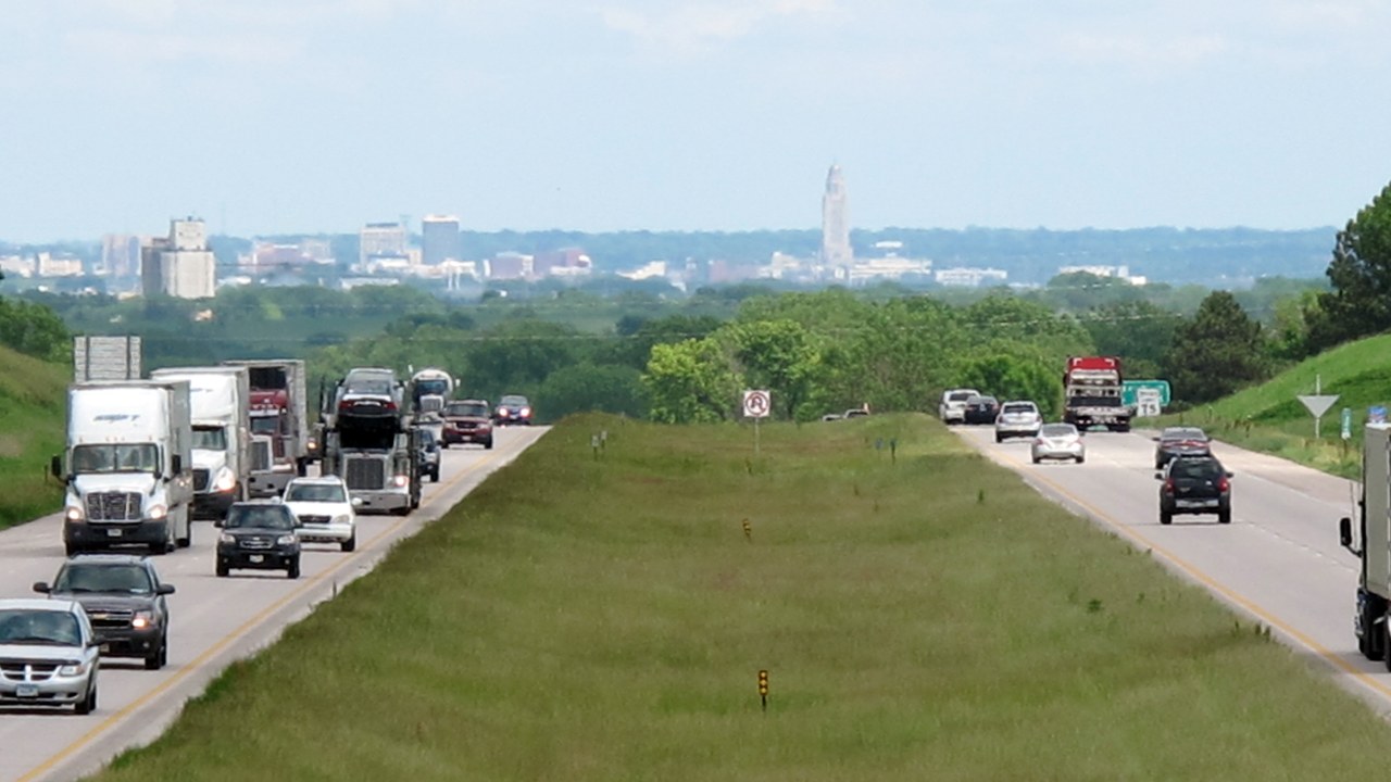
Spanning the country from California to New Jersey, this route recorded 220 deaths in 2020 across its length, a rate of 7.6 per 100 miles in the federal data summary.
A lower rate than the leaders shows its length inflates the raw count. Winter storms in the mountain states are a frequent factor on its western half. Counting by length helps compare roads fairly, but weather and terrain still vary, and a mountain pass in winter can be far more demanding than an open plains section of the same route.
5. Interstate 20: Texas To Carolina
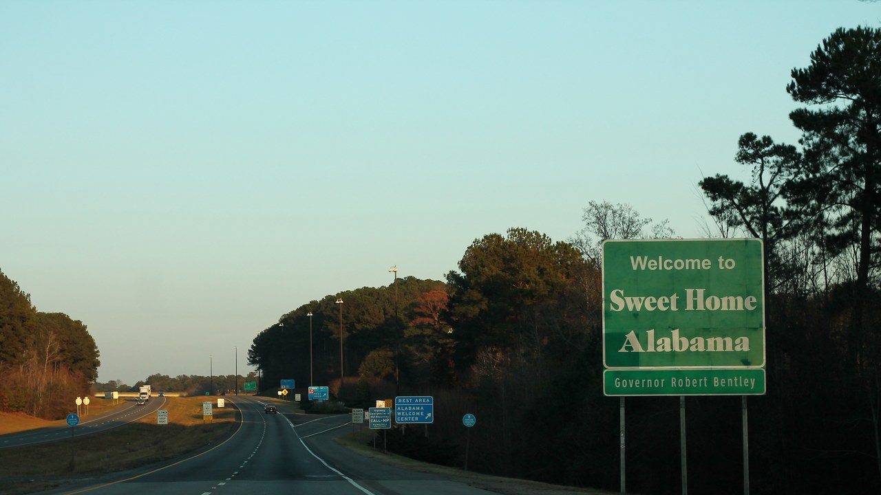
Rates here are calculated per 100 miles rather than as raw counts, and an Azuga highway review shows this southern route at 13.52 deaths per 100 miles, from Scroggins Draw, Texas, to Florence, South Carolina.
The data runs through 2019 and covers a corridor crossing many states. Wide differences between sections suggest that local traffic and enforcement shape results. Comparing a per-mile rate with raw counts can be confusing, yet both show something useful: one reveals how dangerous each mile is, the other how many families are affected overall.
6. Interstate 5: Border To Border

Running along the Pacific side of the country, the highway recorded 13.47 deaths per 100 miles in the Azuga fleet report, covering the stretch from the Canadian border to San Diego.
Its cities generate heavy commuter flows and its rural reaches see long, tiring drives. Fleet operators study such numbers when deciding how to schedule drivers. Analysts note that rates depend on how a road is defined, since a route that includes dense city sections will look riskier than one that mostly crosses open country.
7. Interstate 35: North-South Plains Route
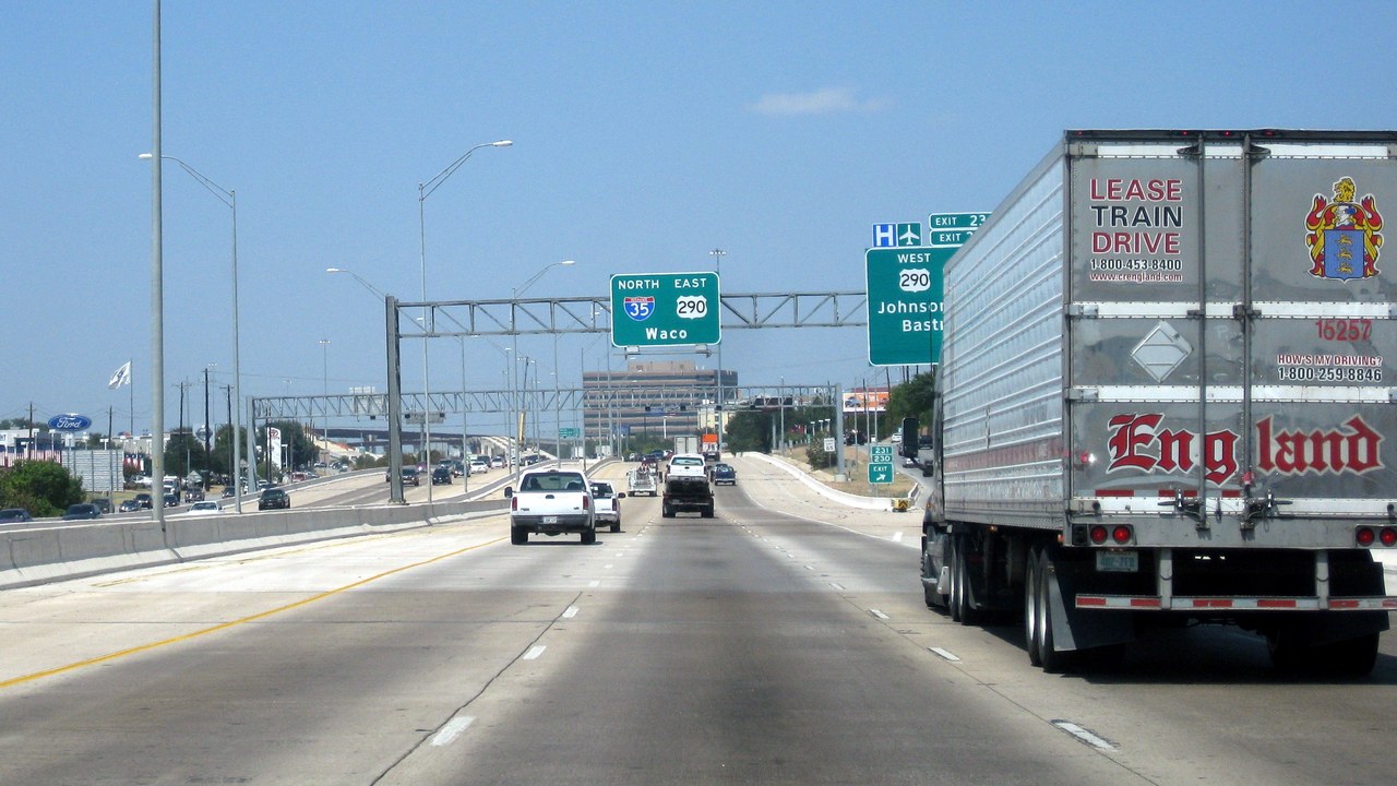
From Duluth, Minnesota, to Laredo, Texas, this central highway posts 12.56 deaths per 100 miles in a roundup of dangerous highways, using federal data through 2019.
It serves as a major trade route with Mexico, so freight traffic is constant. Weather swings across the plains add risk during winter months. Drivers on long trips are advised to take breaks every couple of hours, share the driving when possible, and plan stops for fuel and food before fatigue builds.
8. Interstate 15: Desert Gateway To California
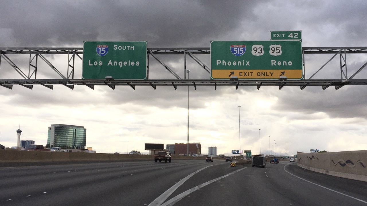
The Las Vegas to San Diego stretch is a common vacation drive, and the Azuga ranking puts the highway at 11.02 deaths per 100 miles, counting from Primm, Nevada, to San Diego.
Weekend surges of travelers and steep passes make for crowded, tiring conditions. Drivers can lower risk by leaving early and avoiding the heaviest holiday periods. Traffic safety groups encourage travelers to check weather and construction updates before departure, since sudden slowdowns are a common starting point for serious multi-vehicle crashes.
9. Interstate 75: Florida To Michigan
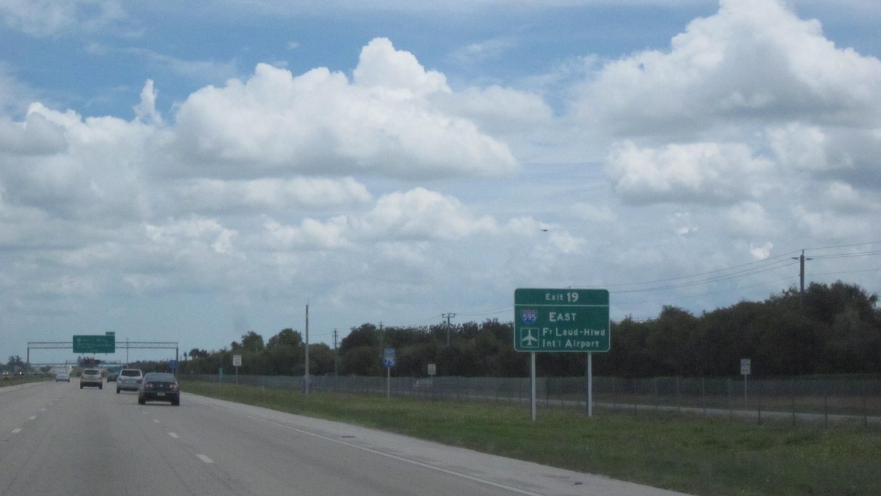
A long north-south spine through the Southeast and Midwest, this interstate recorded 246 deaths in 2020 and a risk score of 90.86, according to a Mighty highway guide.
The score blends several measures, so it is a rough guide and not a precise forecast. Tourist traffic and large cities along the route help explain its place on the list. Rankings from different publishers use different methods, so a higher score on one list does not necessarily match another, and readers should treat the order as approximate.
10. Interstate 70: Utah To Maryland
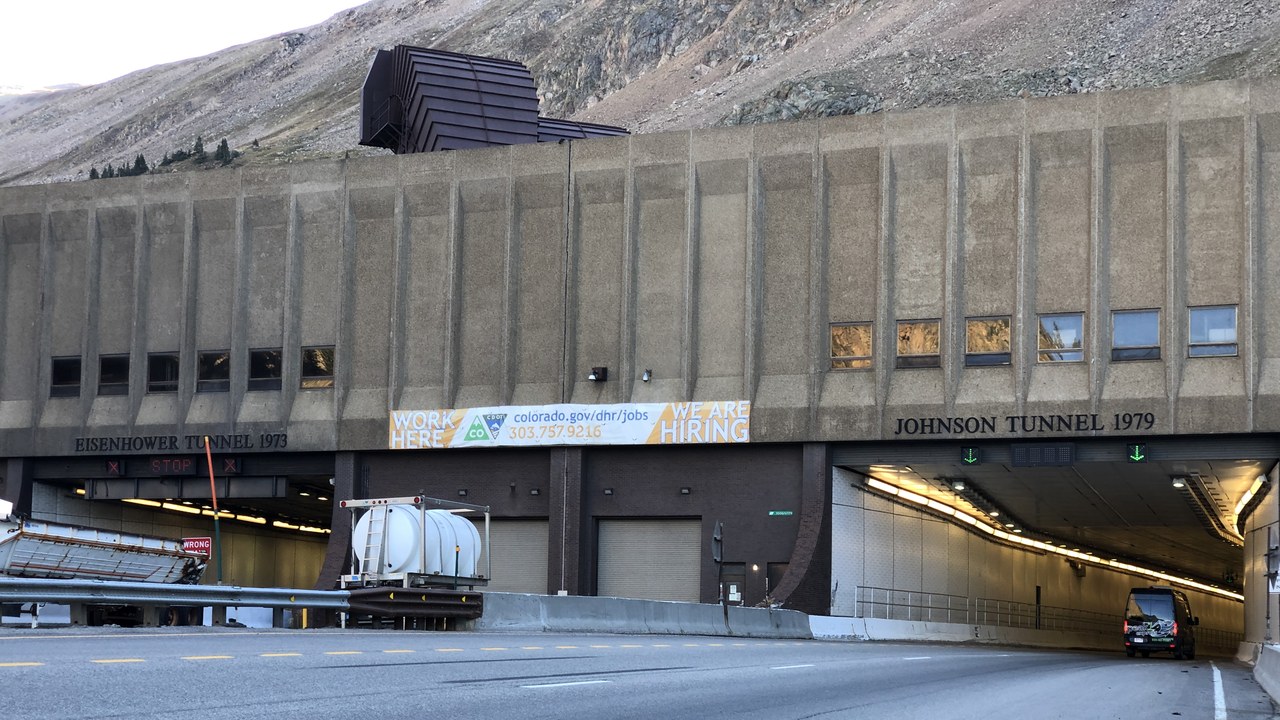
Crossing the Rockies and the Midwest before the Atlantic, this interstate logged 158 deaths in 2019, as the Mighty compilation notes in its list of dangerous roads.
Its high passes bring snow and steep grades, while eastern sections carry dense traffic. Chain laws and speed limits in the mountains are designed to address those local conditions. These numbers cover a single year, so they can shift with traffic patterns, weather and enforcement, but the same busy corridors tend to appear again and again in annual reports.
11. U.S. Route 41: The Non-Interstate Entry
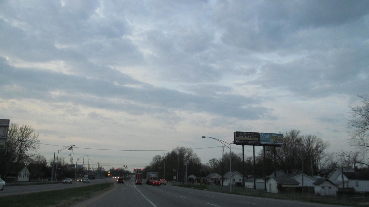
Route 41 is the only road in the top ten that is not an interstate, as the same Mighty guide reports 141 deaths in 2019 and a rate of 7.02 per 100 miles.
Ordinary highways mix local turns, driveways and cross traffic with higher speeds. That mix explains how a non-freeway can compete with interstates in fatality counts. Local roads can be deadly because speeds are high while access points are frequent, which is why engineers often add turn lanes, medians and lower limits near busy intersections.
12. Tail of the Dragon (U.S. Route 129): Mountain Motorcycle Magnet

This famous mountain road drew attention after a North Carolina transportation release reported Tennessee logged 93 crashes and four deaths on its side of Route 129 in 2019.
Of those crashes, 63 involved motorcycles, which shows who is most exposed on its curves. Riders who slow down and stay in their lane make the biggest difference there. Officials have promoted slower speeds and cautious riding, since a single lapse on a tight curve can lead to a serious injury.
The tech news worth your time: Subscribe to Techpresso →
We may earn a commission if you sign up.
More from Morning Overview
- Common allergy, bladder and sleep pills tied to sharply higher dementia odds
- NOAA now gives this winter a 75% chance of the strongest El Nino since 1950
- Doctors warn a silent liver disease now affects one in three American adults
- The FBI told the rest of ShinyHunters to surrender after a 24-year-old was arrested
