
Volcanoes rarely give much warning, and the places they threaten are often closer than expected. The USGS threat assessment sorts American volcanoes by how much danger they pose to nearby people and property. This gallery walks through nine of the top-ranked peaks, from Hawaii and the Cascades to Alaska.
Help yourself and the planet: The Cool Down makes it easy to help yourself while helping the planet, with smart, simple changes to save more and waste less in your everyday life.
We may earn a commission if you sign up.
1. Kilauea: Hawaii’s Benchmark Danger
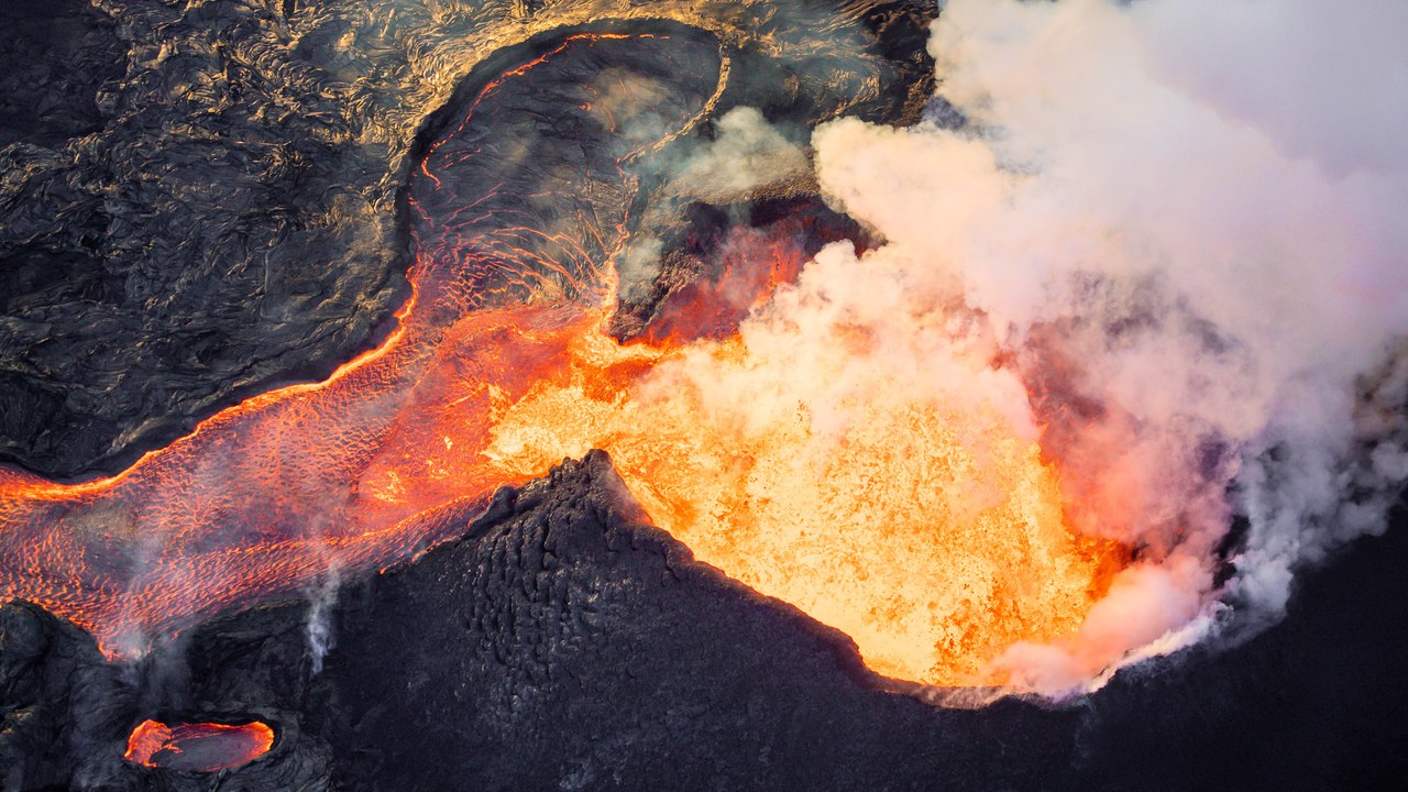
Topping the very-high-threat category as its highest-scorer, Kilauea earns the lead spot on the strength of what its lava did in 2018. Flows from the lower East Rift Zone eruption destroyed more than 700 structures across 13.7 square miles, a scale of loss that the USGS threat assessment story uses to illustrate why the volcano ranks first.
The figure is specific to that single eruption, yet it shows how quickly slow-moving lava can erase homes and roads when a vent opens near populated ground. Hawaii’s most active volcano therefore sets the benchmark for the rest of the list.
2. Mount St. Helens: Cascades Landmark
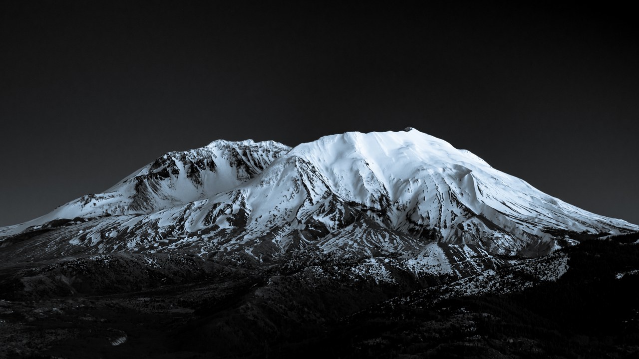
Mount St. Helens holds second place among the very-high-threat volcanoes, and the reason is a matter of record. The 1980 eruption flattened huge tracts of forest and sent mudflows racing down valleys, wiping out bridges along the way, as the USGS featured story describes.
That sequence shows threat reaching well beyond the crater itself. Blast damage, flowing mud and broken infrastructure all arrived in a single event, which is why scientists treat the Washington peak as a standing lesson in how far a Cascades eruption can spread.
3. Mount Rainier: Seattle’s Snowy Neighbor
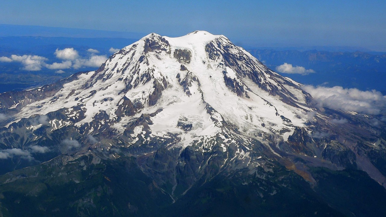
Rising above Washington state, Mount Rainier comes third on the published very-high-threat order. The Gizmodo ranked list places it ahead of most other American volcanoes, noting a hazard zone that reaches communities below the mountain rather than staying on the summit.
That downstream reach is the heart of the concern. A glacier-clad peak with settlements in its valleys leaves little room between a volcanic event and the people living nearby, so the ranking reflects exposure as much as the mountain’s own activity. Readers weighing the list should treat the placement as a statement about consequences, with the mountain’s neighbours counted alongside the mountain.
4. Mount Spurr: Alaska’s Upwind Threat
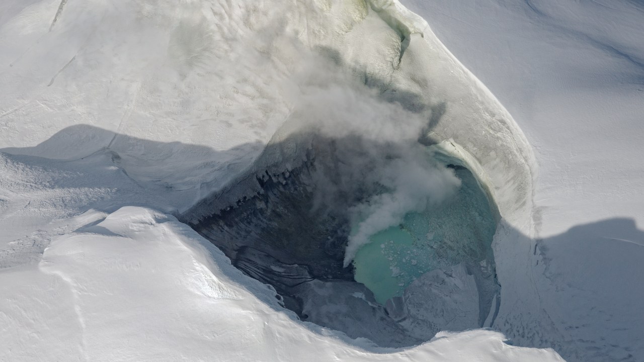
Far from the Cascades, Mount Spurr in Alaska sits tenth on the published very-high-threat order. The Gizmodo volcano ranking singles out its position upwind of Anchorage, the state’s largest city, as a central part of why the peak earns the label.
Wind direction matters because ash does not stay put. A volcano that sheds fine material toward a major population centre can disrupt daily life far from the vent, which explains how a remote mountain lands on a list of the nation’s most worrying. The ranking therefore rewards no single dramatic feature but a combination of position and prevailing conditions.
5. Augustine Volcano: Cook Inlet Island Cone
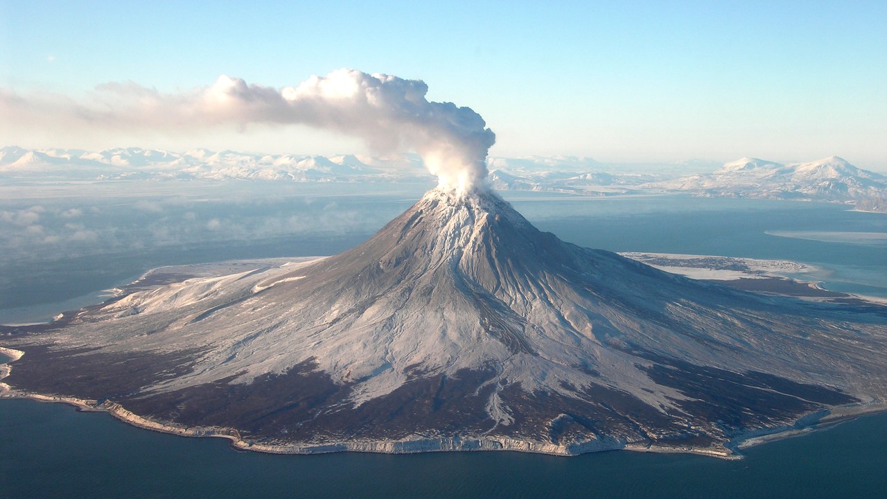
Augustine Volcano is an island in Cook Inlet, and it ranks twelfth on the published very-high-threat order. The ranked Gizmodo list includes the cone among the nation’s most dangerous, even though the volcano rises from water rather than from the mainland.
Its setting in a busy Alaskan inlet is part of the story. An eruption there can affect air and sea routes at once, so the island’s modest footprint on a map understates how much activity around it could be disturbed. Such reasoning explains why geography features so heavily in the ranking, alongside the volcano’s own behaviour.
6. Mount Shasta: California’s Towering Giant
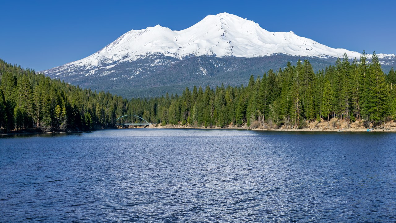
Fifth on the published very-high-threat order, Mount Shasta towers over northern California. The National Geographic ranking places the broad stratovolcano among the most hazardous in the country, a position that follows from its sheer size and the land that surrounds it.
A mountain that dominates the regional skyline also shapes where people live and travel. Because the peak is so large and so visible, any stirring beneath it would be felt across a wide stretch of the state. The ranking treats that scale as a hazard in itself, because a bigger mountain gives more ground that could be affected.
7. Mount Hood: Portland’s Skyline Peak
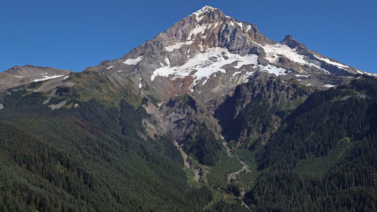
Mount Hood takes sixth place on the published very-high-threat order, and its defining feature is proximity. The National Geographic list notes that the Oregon peak stands within sight of Portland, so a city of many residents lives under the mountain’s gaze.
Visibility is a reminder of exposure. The same snowy summit that appears on the horizon from city streets belongs to a volcano that scientists consider a serious threat, which is why it stays near the top of the national ranking. Closeness to a major city, in this reading, counts for as much as the mountain’s height or shape.
8. Three Sisters: Oregon’s Triple Cluster
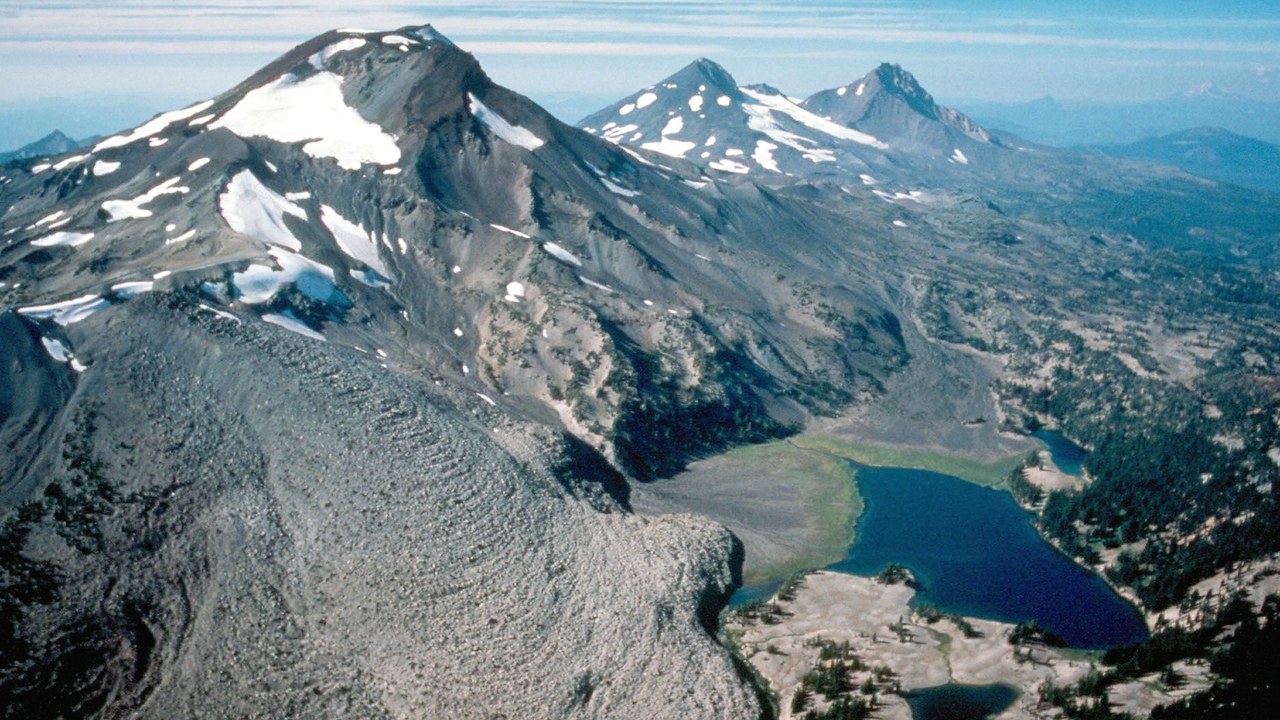
Three Sisters is a cluster of three Oregon peaks, and it ranks seventh on the published very-high-threat order. The National Geographic ranking lists the group together rather than as a single mountain, reflecting a volcanic area with several summits instead of one.
That grouping complicates the picture. A cluster offers multiple possible sources of activity within a compact region of the Cascades, so the label applies to a whole neighbourhood of peaks and not to any single summit. For anyone reading the list, the lesson is that a single name can stand for a broad zone of volcanic risk.
9. Lassen Peak: Northern California Centre
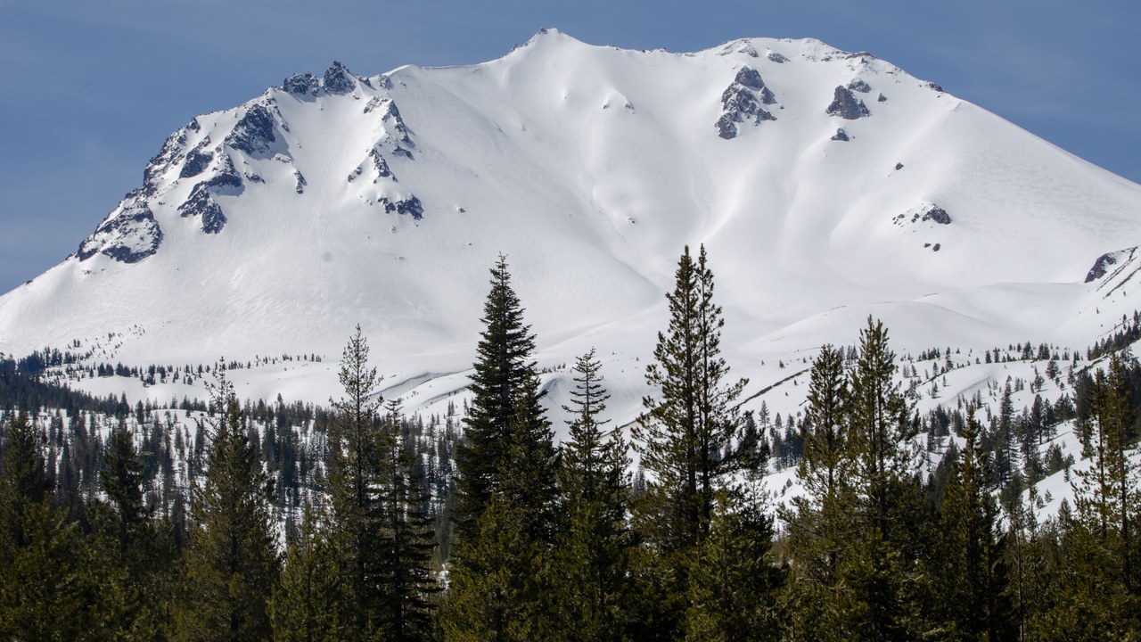
Lassen Peak anchors a volcanic centre in northern California that sits eleventh on the published very-high-threat order. The finding comes from the USGS threat assessment update, which identified 18 volcanoes as very high threat and 39 as high threat across the country.
The wording matters here, since the ranking refers to the Lassen volcanic centre rather than the single summit. It rounds out a list that stretches from Hawaii to Alaska and shows how widely the danger is spread. Readers should note that the placement is a statement about hazard, not a forecast of any coming eruption.
Help yourself and the planet: Get The Cool Down →
We may earn a commission if you sign up.
More from Morning Overview
- Long use of a common prostate pill is tied to a higher chance of glaucoma
- Ford is recalling 223,472 F-150 pickups because the fuel tank can leak or detach
- Hybrids have 15% fewer problems than gas cars, while EVs and plug-in hybrids have about 80% more, Consumer Reports finds
- Regulators cleared the first U.S. small modular reactor, 4 months early
