
A small earthquake woke thousands of people across Los Angeles before dawn on Friday, November 20. Far below the city lies a fault that nobody knew existed until a deadlier quake in 1987 exposed it. These are the places that tell the story of that hidden fault, from the 1987 damage to the scenario planners fear most.
Read next on Morning Overview: Two Kentucky residents died when a small plane crashed at Missouri’s Lake of the Ozarks, and the NTSB is investigating
Commerce, California: A 3:25 A.M. Wake-Up Call
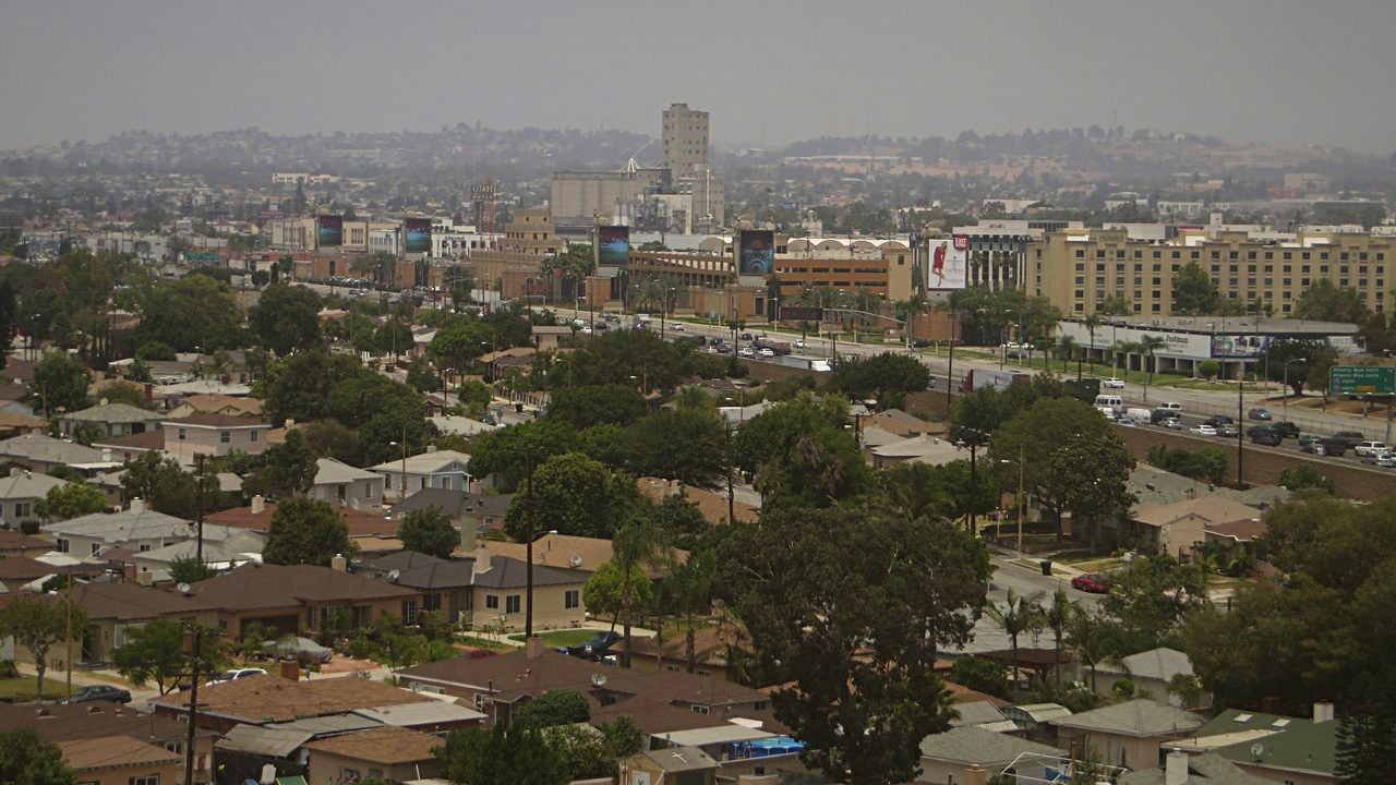
The shaking hit around 3:25 a.m. on November 20, centered just northwest of Commerce, about 7 to 8 miles from downtown Los Angeles. The U.S. Geological Survey first reported the quake as magnitude 4.2, then downgraded it to 3.9, at a depth of about 9.6 miles.
More than 13,000 people told the USGS they felt it. Los Angeles Mayor Karen Bass, citing a 4.4 reading, said early Friday there were no immediate reports of damage or operational impacts, including at LAX. The ShakeAlert warning system sent no phone alerts, since it delivers them for quakes of magnitude 4.5 or higher.
Pasadena, California: Felt Across the Region
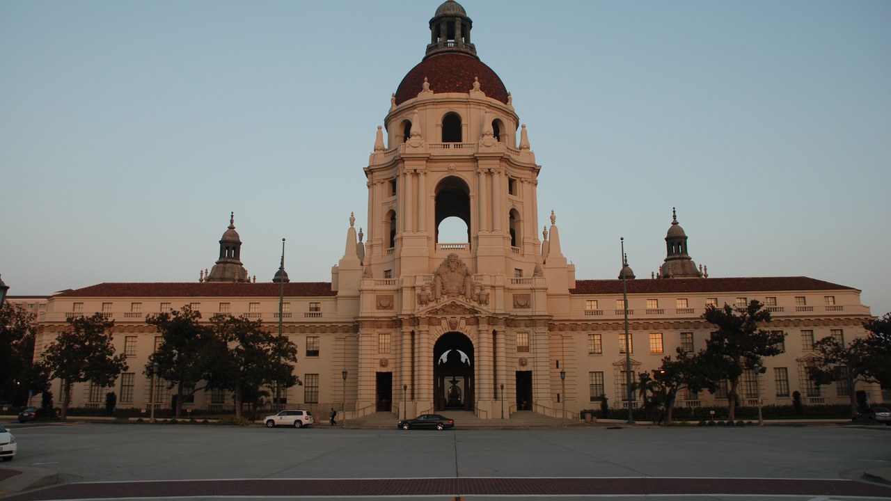
The USGS “Did You Feel It?” map showed the Commerce quake reaching well beyond its epicenter. Residents in Alhambra, San Gabriel, Pasadena, Long Beach and even North Hollywood and Calabasas reported shaking, according to NBC Los Angeles.
The same night, a separate swarm rattled central California. The strongest of several quakes near Pinnacles was a magnitude 5.0 that struck at 10:40 p.m. Thursday, centered 6.2 miles northwest of Pinnacles. Back in Los Angeles, the USGS ShakeAlert account posted on X that the early warning system was activated by the Commerce quake.
Rosemead, California: Where the 1987 Quake Began
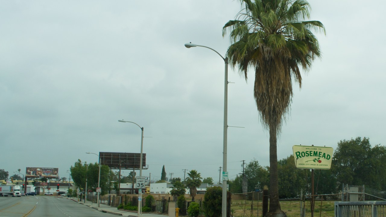
At 7:42 a.m. on October 1, 1987, a magnitude 5.9 earthquake struck, centered several miles north of Whittier in the town of Rosemead. It was felt throughout southern California and southern Nevada, and damage estimates ranged from $213 million to $358 million.
The quake caused 200 injuries, three directly related deaths and five more fatalities associated with the event. It was the strongest shaking in the Los Angeles area since the 1971 San Fernando earthquake, and it was felt as far away as San Diego, San Luis Obispo and Las Vegas.
Whittier, California: Hit Hardest
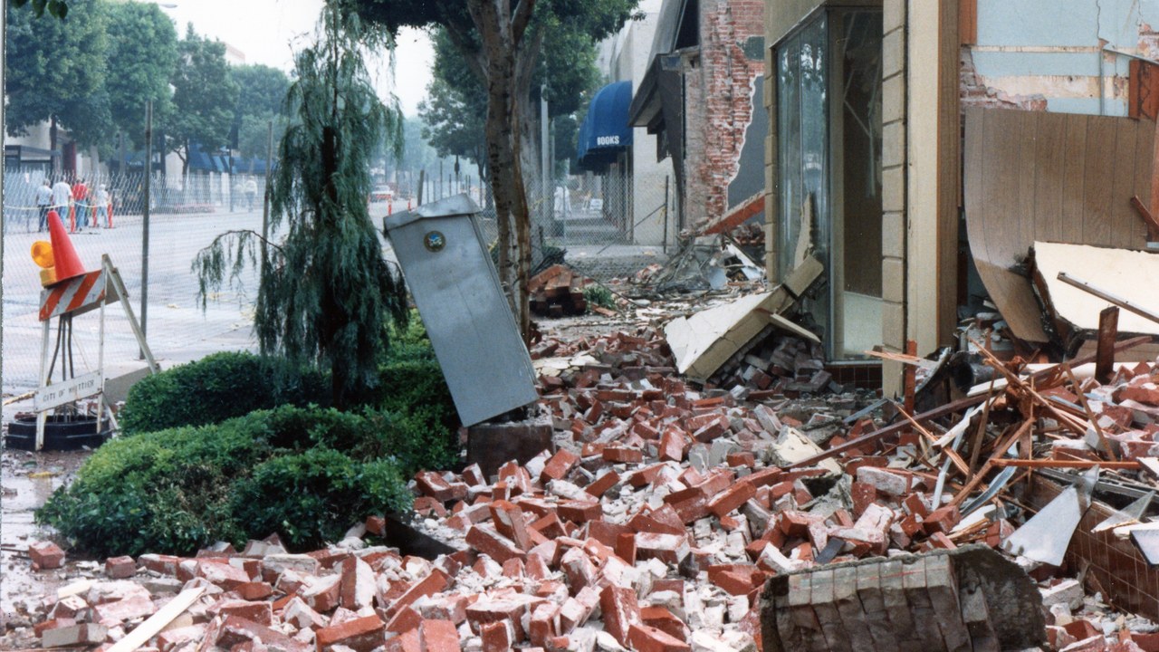
Only Whittier experienced shaking rated VIII, or severe, the highest intensity of the 1987 event, and its historic uptown area suffered the greatest damage. Across Los Angeles, Orange and Ventura counties, 123 homes and 1,347 apartments were destroyed.
Another 513 homes and 2,040 apartments were damaged. A ten-story concrete building on Bright Avenue in Whittier recorded a peak horizontal reading of 0.63 g in its basement. Power was cut, early morning workers were stranded in stalled elevators, and water and gas mains broke across the region.
Interstate 605: Cracked Columns on the Freeway
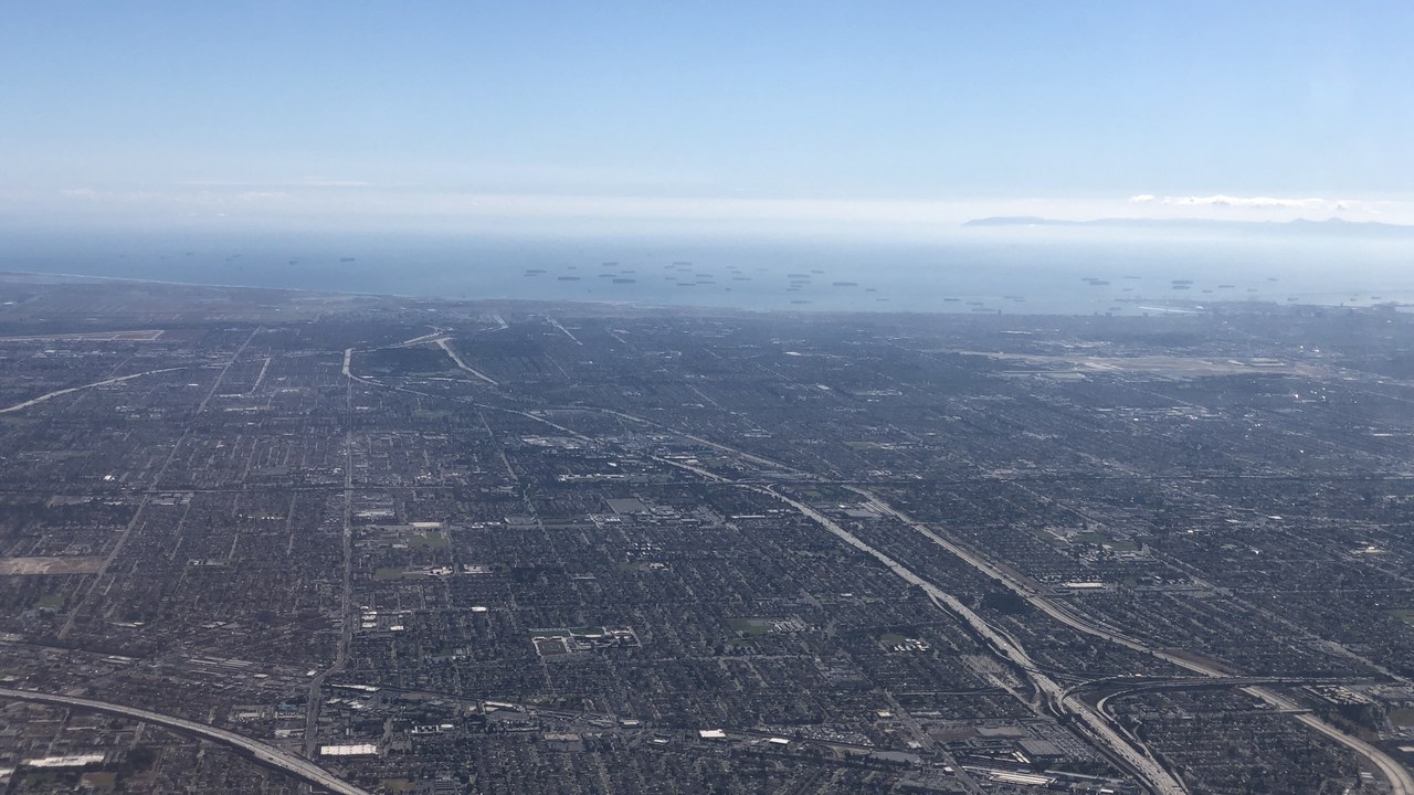
Transportation took a hit too. An inspection of an Interstate 605 highway bridge found fractures on its support columns, forcing a temporary closure, and minor damage affected 28 other bridges.
The Santa Ana Freeway and the San Gabriel River Freeway were closed near Santa Fe Springs after pieces of concrete were dislodged and cracks appeared in the roadway. More than 1,000 gas leaks followed the quake, many of them leading to fires, and phone systems across the region were overwhelmed.
San Gabriel Civic Auditorium: Bell Towers Down
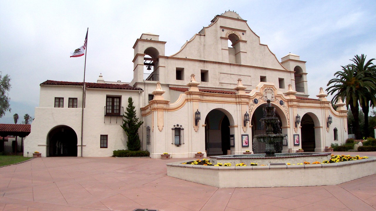
The danger did not end with the main shock. A magnitude 5.2 aftershock on October 4 caused more damage in Alhambra, Pico Rivera, Los Angeles and Whittier, including the collapse of two bell towers at the San Gabriel Civic Auditorium.
That aftershock caused several injuries and one more death. It struck about 3 kilometers northwest of the main shock and was mostly a strike-slip event on a steep fault, at a depth of 12 kilometers, which placed it within the block of rock above the thrust fault that caused the original quake.
Puente Hills: The Hills That Named a Fault
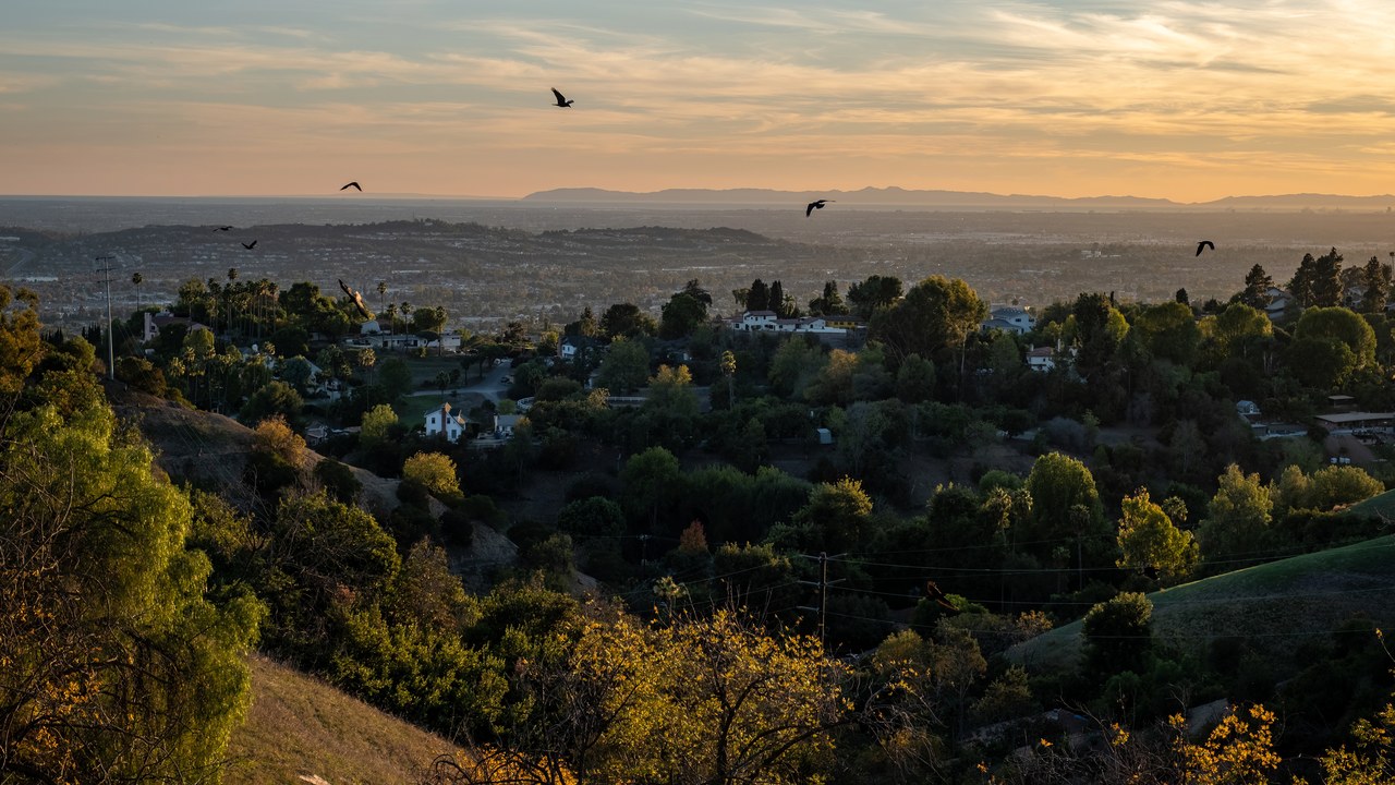
The 1987 quake came from a fault nobody had mapped. Its source was later determined to be the Puente Hills thrust system, which was unknown at the time, and the fault itself was formally discovered in 1999.
It is a blind thrust, meaning the fault plane never reaches the surface. It runs about 25 miles in three sections from the Puente Hills region in the southeast to just south of Griffith Park in the northwest. Scientists identified it using seismic reflection profiles that had been collected for the petroleum industry.
La Habra, California: The 2014 Jolt
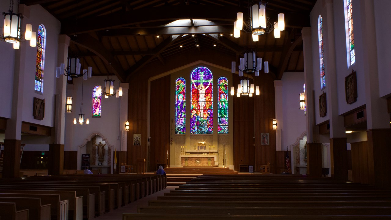
The fault has not been quiet since. On March 28, 2014, at 9:09 p.m., a magnitude 5.1 earthquake struck on the Puente Hills Fault, centered 1 mile east of La Habra.
Geologists have determined that the fault has ruptured at least four times in the past 11,000 years, with magnitudes estimated at 7.2 to 7.5. The top of that range would release about fifteen times the energy of the 1994 Northridge earthquake, the strongest in recorded history for the Los Angeles metropolitan area.
Downtown Los Angeles: A Fault Under the Skyscrapers
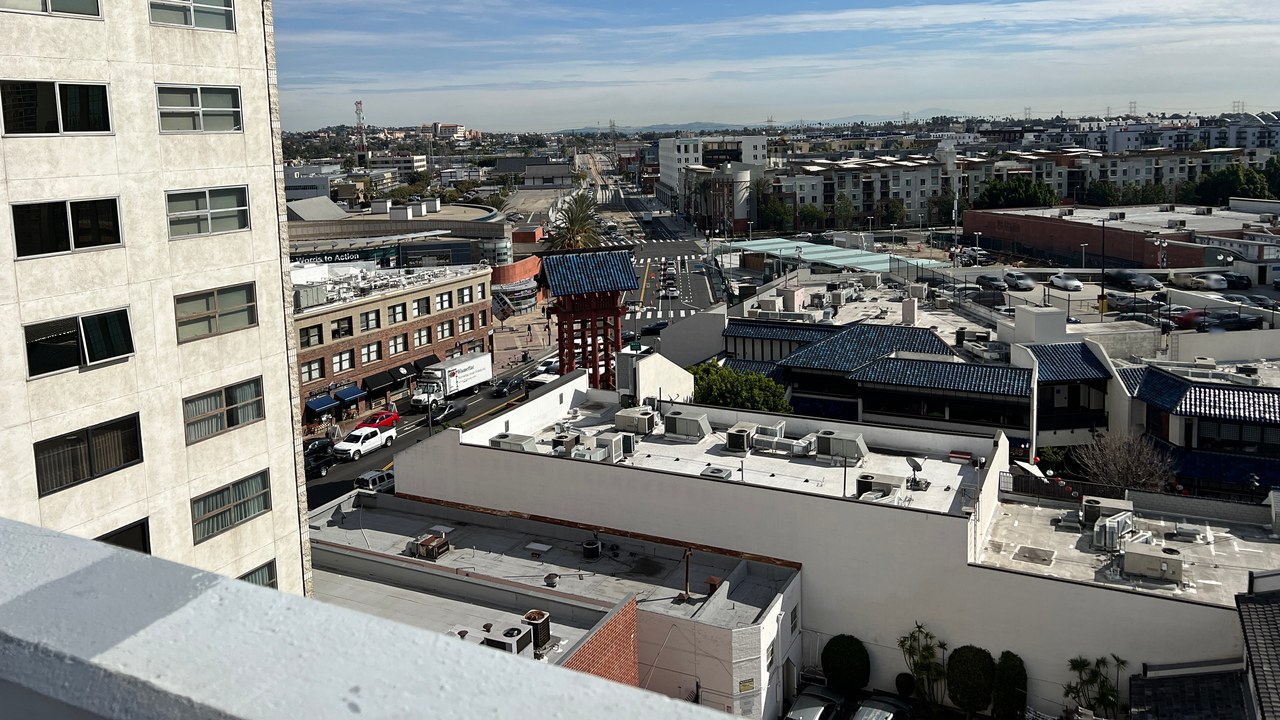
A 2002 study of the system, described by the USGS, traced the fault for more than 40 kilometers beneath the northern Los Angeles basin. It found three north-dipping ramp segments, with preferred slip rates of about 0.62 to 1.28 millimeters a year.
Using those measurements, the researchers estimated the size of future ruptures. A quake on a single segment could reach magnitude 6.5 to 6.6, while a rupture of several segments at once could reach magnitude 7.1. The study tied the 1987 Whittier Narrows quake, magnitude 6.0 by its measure, to the system.
Los Angeles Basin: The Scenario Planners Fear
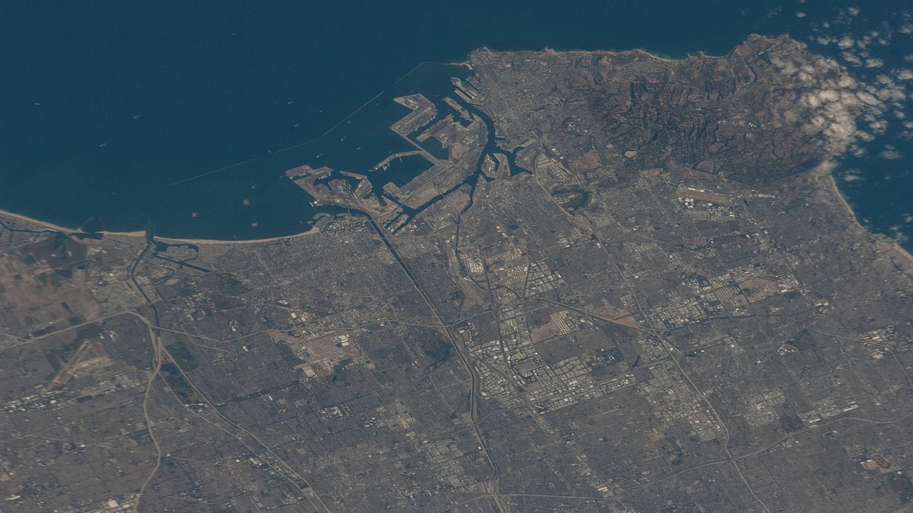
Big quakes on the fault are rare, on the order of once every several thousand years. But because it sits directly below the city, computer modeling projects losses of about $250 billion if a similar event happened today.
The same estimates put the potential toll at 3,000 to 18,000 deaths. The Southern California Earthquake Center built a model of the shaking from quakes of different sizes, and the Federal Emergency Management Agency ran a simulation translating that shaking into property damage and loss of life, giving planners a picture of what to prepare for.
More from Morning Overview
- Shaq spent $1.3 million on three Rolls-Royce Phantoms to prove a point to a salesman
- The Justice Department asked courts to undo approvals for three offshore wind farms, one already making power
- Over 20 trillion gallons of rain fell on the Four Corners states and Nevada in two weeks
- 11 engines built to run well past 200,000 miles
