
California and Oregon are bracing for a busy stretch of Pacific storms, with two atmospheric rivers already lined up this week. Forecasters now see signs of a third, stronger setup arriving just before Thanksgiving. Here is what the outlook shows for that system, what this week’s storms are bringing and how the coast is already taking a beating.
Read next on Morning Overview: Zero Motorcycles unveiled an electric motorcycle targeted at under $8K and a street-legal dirt bike at EICMA
The Nov. 24-25 atmospheric river: A Third System Around November 24
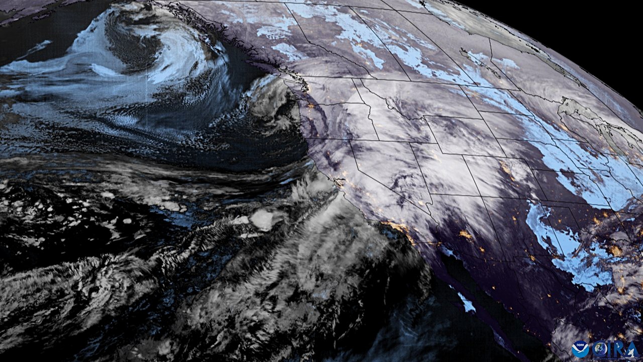
NOAA’s Climate Prediction Center has posted a moderate risk of heavy precipitation for much of northern California and southwestern Oregon on November 24 and 25, according to Watchers’ summary of the outlook. It also flagged a moderate risk of high winds along the Pacific coast from Monterey Bay north to the Canadian border.
This system is separate from the two atmospheric rivers already expected to affect California from late November 17 through about November 20. Ensemble forecasts showed at least a 50 percent chance of more than an inch of rain in a day on November 24 and 25, and a greater than 50 percent chance that three-day totals would exceed two inches. Local forecast offices will issue more detailed forecasts as it approaches.
Klamath and northern Sierra snow: Snow for the Klamath and Northern Sierra
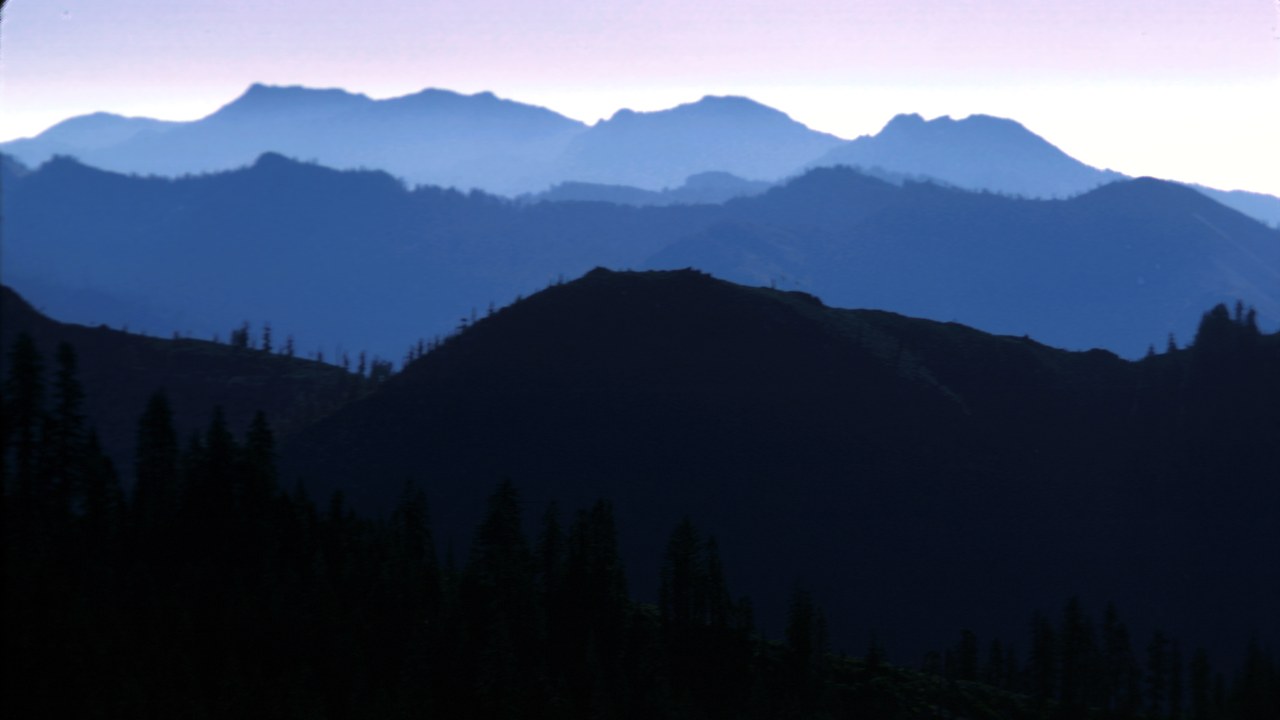
The outlook also carries a moderate risk of heavy snow for the Klamath Mountains and the northern Sierra Nevada during the same window, according to Watchers, which summarized the Climate Prediction Center’s week-two hazards outlook.
Heavy mountain snow can close passes and complicate holiday travel, and the timing lands right before Thanksgiving on November 26. Farther east, forecasters see a slight risk of heavy precipitation from the Gulf Coast through the Tennessee Valley and the Southeast, and later in the Northeast urban corridor. That broader pattern could make for a messy travel week across much of the country, so travelers heading over the mountains should watch the forecasts closely.
This week’s first storm: This Week’s First Storm
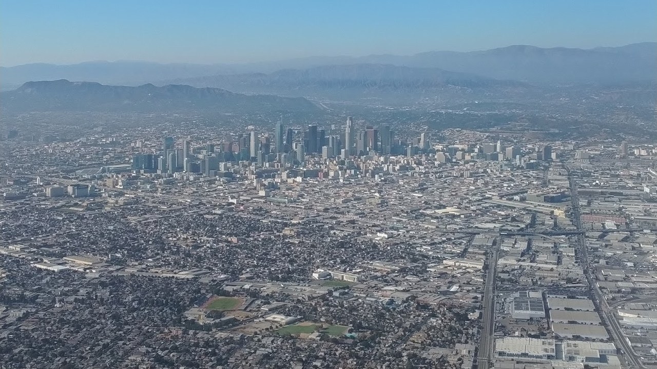
The first of this week’s two storms moved south through California with mostly light rain for Southern California on Monday, November 16. The National Weather Service office in Los Angeles forecast totals generally below half an inch, according to Watchers’ storm report.
Farther north, the first system brought rain and higher-elevation snow to the Pacific Northwest before moving inland, spreading snow into the northern Intermountain West and the western Rockies by Tuesday. A brief break followed before the stronger second storm. Even light rain matters here, because it leaves soils wetter and primes the ground for runoff when heavier rain arrives.
The stronger second storm: A Stronger Second Storm
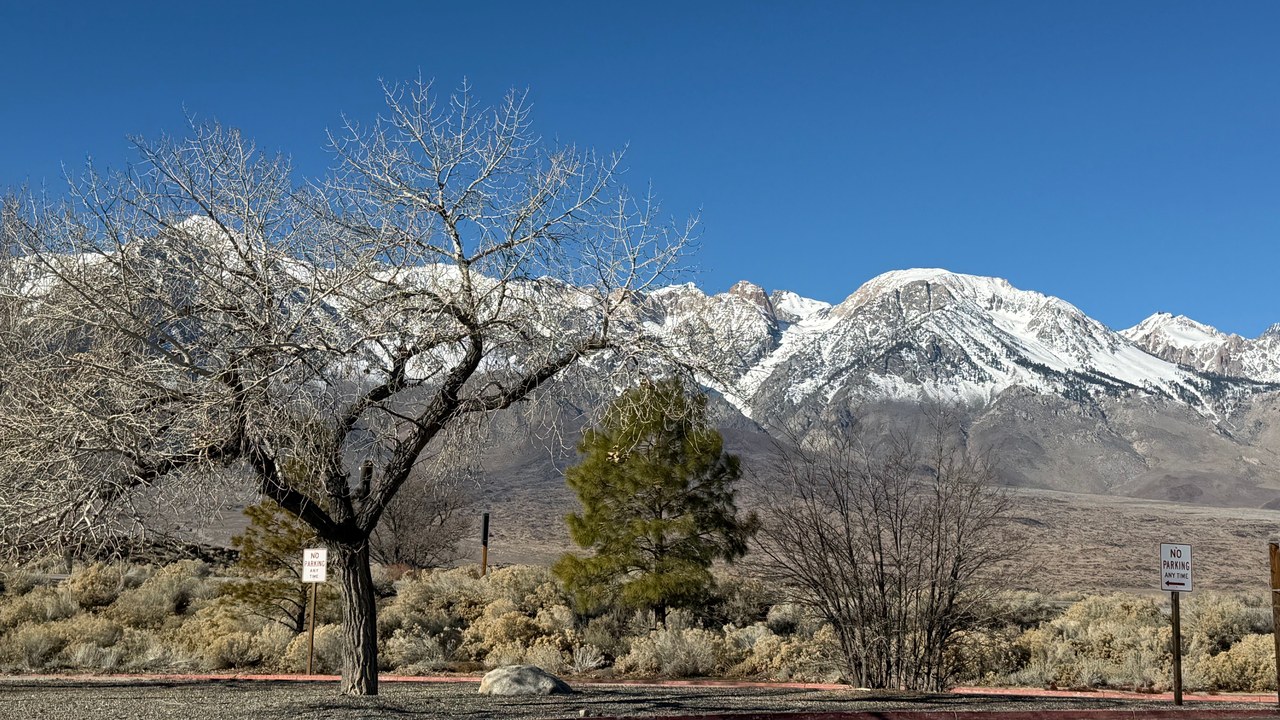
The second storm was expected to reach California late Tuesday, November 17, and continue through Wednesday and Thursday, fed by an atmospheric river, a concentrated stream of moisture from the Pacific, according to Watchers.
Forecasters called for 2 to 3 inches of rain across much of the San Francisco Bay Area and Central Coast, with 3 to 5 inches in the coastal ranges, and 1 to 3 inches across the Los Angeles region. Potential impacts include flooded roads, rockslides along canyon routes and debris flows near recent wildfire burn scars. The Weather Prediction Center flagged a slight risk of excessive rainfall for coastal areas.
50-foot waves in San Mateo County: Monster Waves Near San Francisco
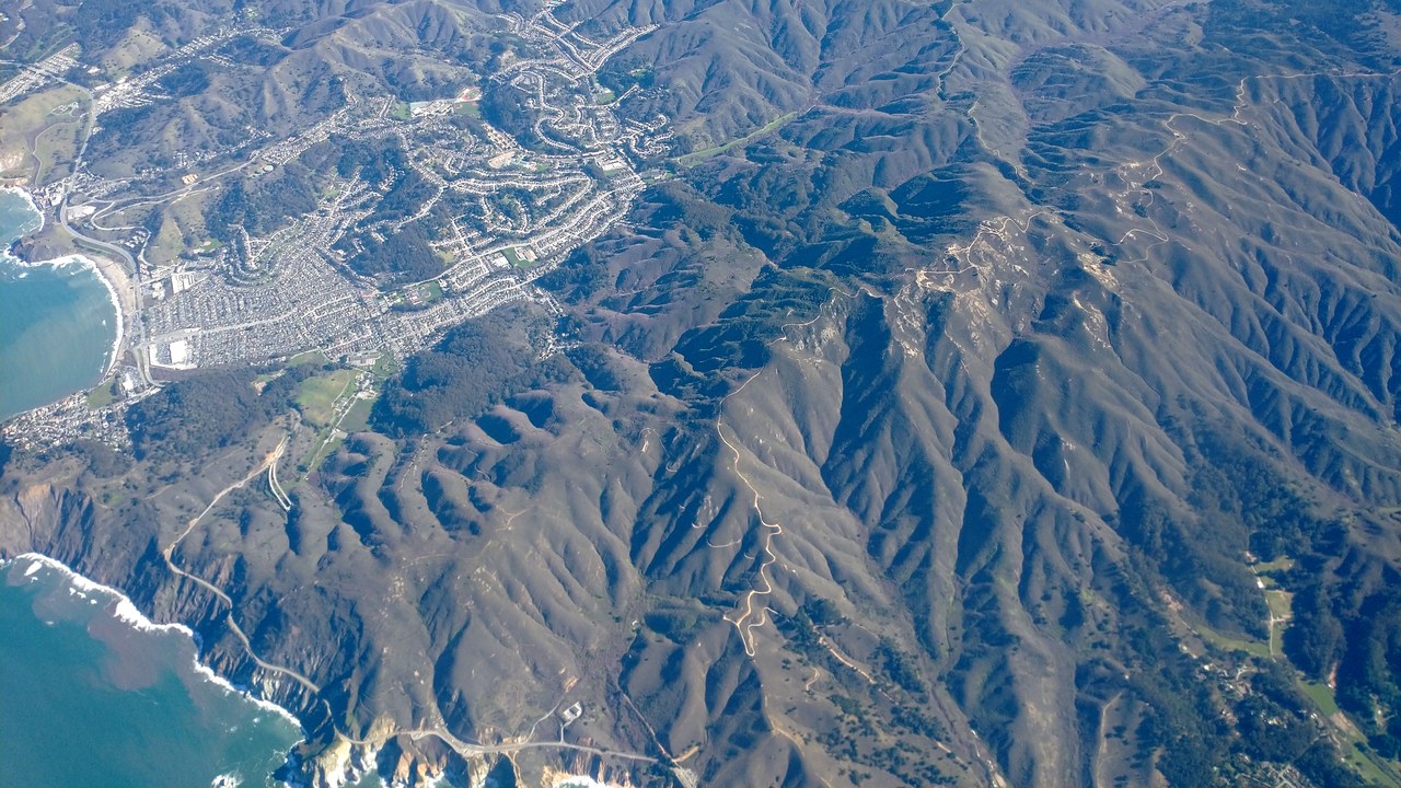
Huge surf has already pounded the coast. A National Weather Service meteorologist said waves at major break points such as Mavericks reached 50 to 60 feet on Saturday, November 14, according to Watchers, and a buoy off Point Reyes measured a 31-foot wave, the highest there since 2015.
In Pacifica, waves broke over the seawall along Beach Boulevard at high tide, pushing water across parking lots and streets. A resident said a concrete plate on the seawall lifted and buckled overnight, and the city closed off the damaged area. Forecasters noted that one of the strongest El Nino events on record is keeping sea levels higher than normal, letting storm surf push farther inland.
Piers closed to San Diego: Piers Closed Down the Coast
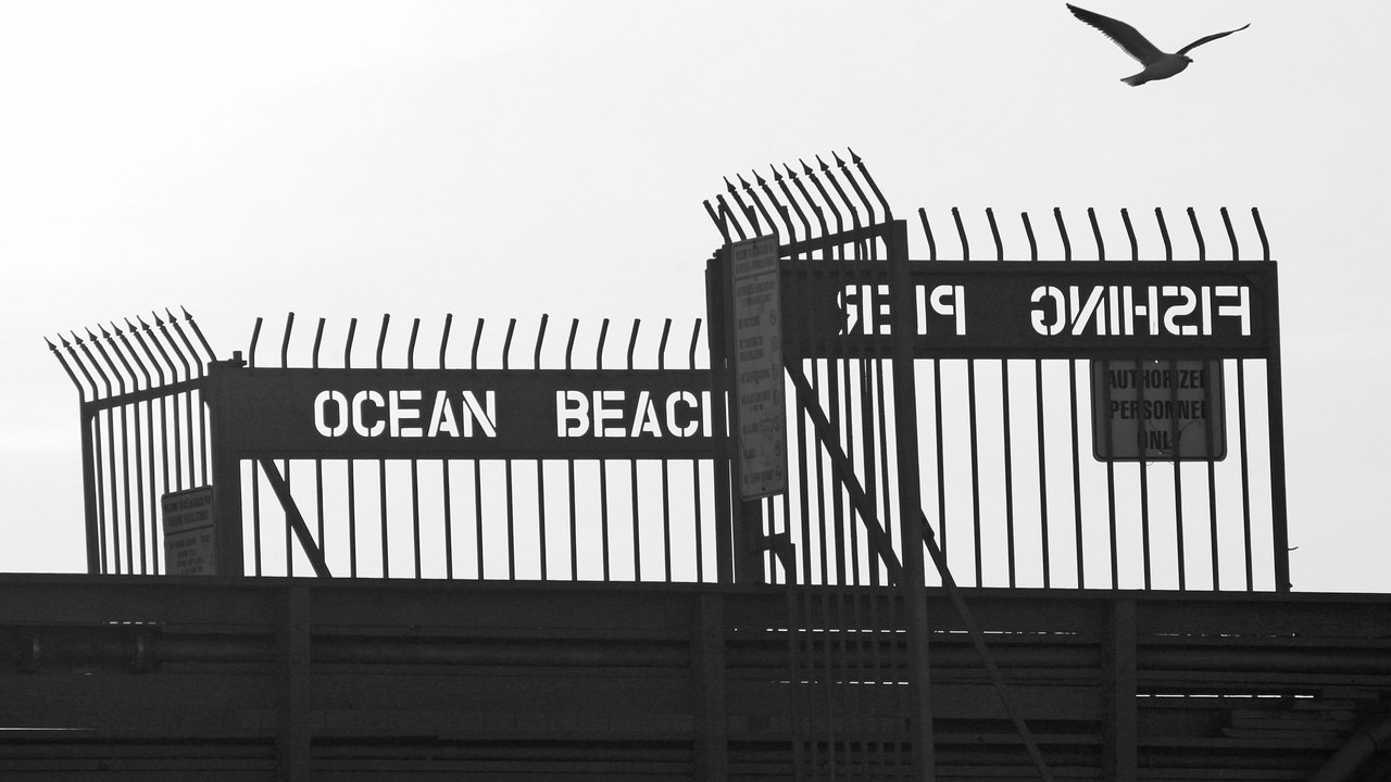
Piers in Ventura, Manhattan Beach, Hermosa Beach, Huntington Beach and Pacific Beach in San Diego closed over the weekend as waves slammed into them, according to Watchers. Several inches of water covered the strand in Seal Beach and flooded beachfront homes.
At La Jolla Cove, water poured over the beach and up a staircase. High surf advisories remained in effect into the week, with breakers of 6 to 9 feet and sets to 11 feet expected on west-facing beaches in Orange and San Diego counties as a fresh swell arrived. Ventura County beaches were also under a high surf advisory, with 8- to 12-foot breakers forecast there on Monday.
More from Morning Overview
- Melting permafrost is setting off a newly identified kind of catastrophic landslide, scientists say
- Cadillac cut the price of its cheapest EV, which goes up to 317 miles on a charge
- Winter weather advisories cover I-80, I-70 and the Bighorns with up to 15 inches of snow
- Arizona’s governor declared a statewide emergency after Flagstaff logged its wettest Nov. 1 on record
