Image Credit: Gentry George, U.S. Fish and Wildlife Service - Public domain/Wiki Commons
Geologists measure hazard in centuries, and the American landscape keeps a long written record of it in fault scarps, ash layers and buried soils. Recurrence intervals drawn from that record are averages rather than schedules, but they tell researchers which places carry the most concentrated risk. Here are nine regions where the geologic evidence and the monitoring data both point the same direction.
1. Cascadia Subduction Zone: The Quake Japan Recorded
<p>Image Credit: Davezelenka – CC BY 4.0/Wiki Commons</p>
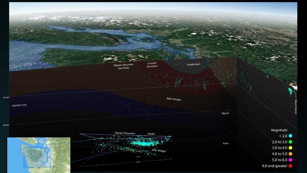
The Juan de Fuca plate grinds beneath North America along roughly 700 miles of seafloor from Vancouver Island to Cape Mendocino, and the last full-margin rupture struck on January 26, 1700. Its magnitude, near 9, was reconstructed from Japanese records of a tsunami with no local earthquake and from drowned coastal forests in Oregon and Washington. Offshore sediment cores logged by marine geologists hold roughly 40 such deposits across 10,000 years.
Those intervals are uneven, ranging from a few decades to about a thousand years, so the average tells scientists little about timing. What it does establish is the size the zone can produce, which is why Oregon and Washington write tsunami evacuation routes into coastal planning.
2. San Andreas Fault: The Southern Segment’s Long Silence
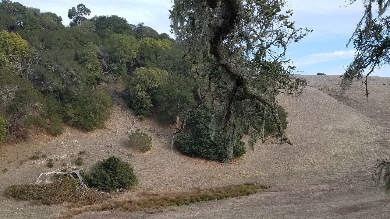
Image Credit: Carol M. Highsmith – Public domain/Wiki Commons
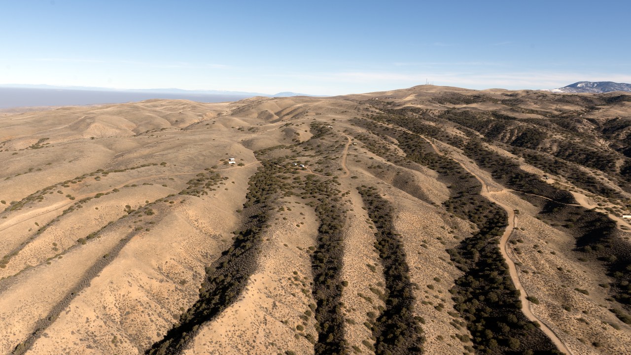
California’s transform boundary runs about 750 miles, and its two most recent great earthquakes bracket the state: the 1857 Fort Tejon shock near magnitude 7.9 tore across the Carrizo Plain, and 1906 ruptured the northern section beneath San Francisco. The southernmost stretch, from Cajon Pass to the Salton Sea, has produced no comparable quake since roughly 1680, a date trenching established.
Paleoseismologists put average intervals along that stretch in the range of one to two centuries, a spread wide enough that no date can be read off it. The USGS states the hazard as probability instead, and it ranks southern California among the likeliest places in the country for a damaging earthquake.
3. New Madrid Seismic Zone: The Winter The Bells Rang
Image Credit: Brian Stansberry (photographer) – CC BY 4.0/Wiki Commons
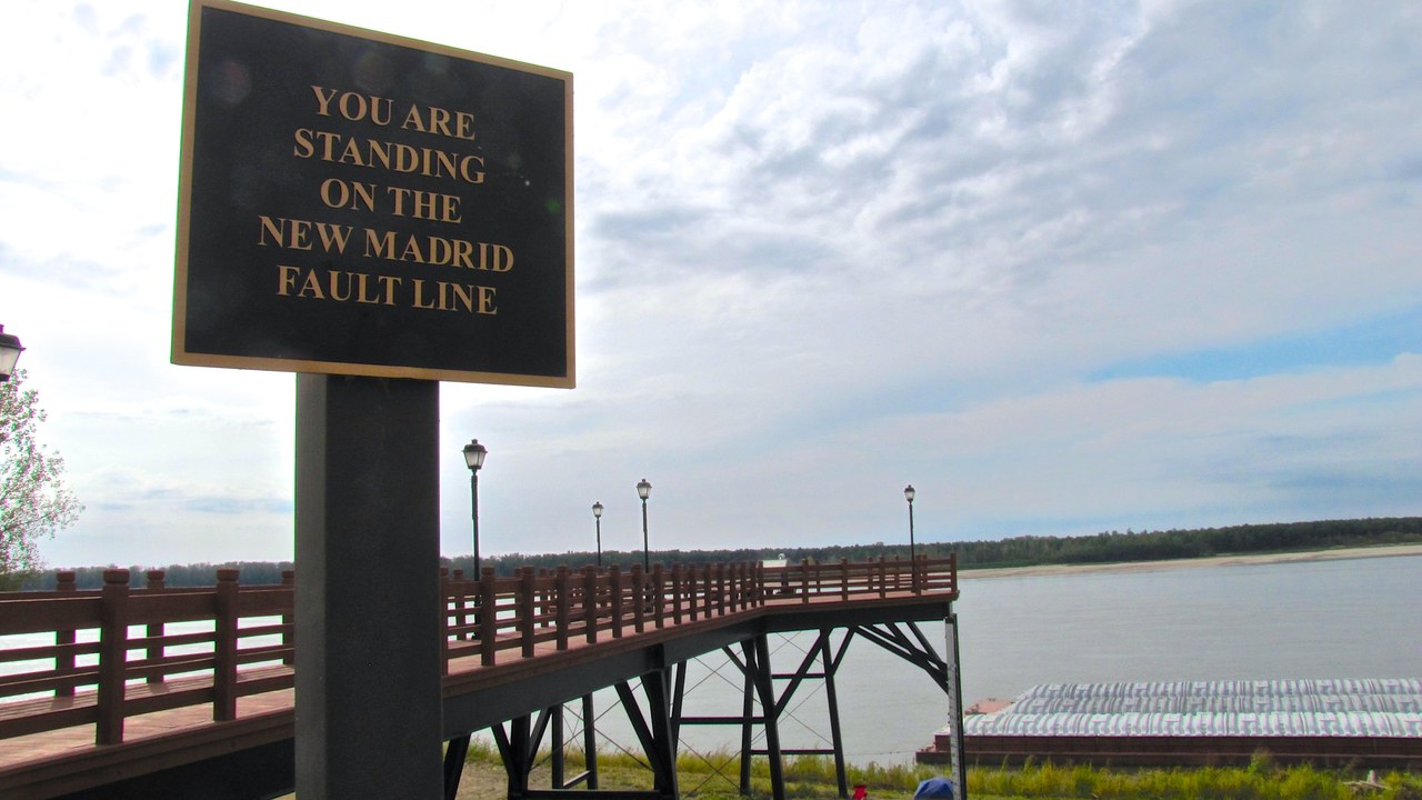
Between December 1811 and February 1812, a sequence of main shocks estimated between magnitude 7.0 and 7.5 struck the Mississippi embayment near New Madrid, Missouri, liquefying sand across thousands of acres and, by contemporary accounts, ringing church bells hundreds of miles east. Old, cold continental crust carries shaking much farther than California’s, spreading the felt area over roughly a million square miles.
Dating of buried sand blows places earlier sequences near 1450 and 900, implying intervals of about 500 years. Some geodesists counter that GPS instruments detect almost no strain accumulating today, and that unresolved argument, rather than a countdown, is where the science currently sits.
4. Yellowstone Caldera: What The Observatory Actually Watches
Image Credit: Miguel Hermoso Cuesta – CC BY-SA 4.0/Wiki Commons
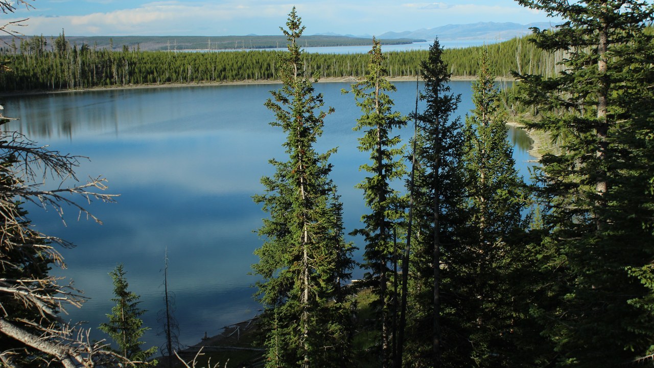
Three caldera-forming eruptions shaped this plateau, the most recent about 631,000 years ago, and the Yellowstone Caldera has since produced lava flows, the youngest roughly 70,000 years old. The Yellowstone Volcano Observatory records between 1,000 and 3,000 earthquakes there each year, alongside ground that rises and falls by centimeters as hot water and gas shift underground.
That observatory ranks a strong regional earthquake and a hydrothermal explosion far above any eruption among the credible near-term hazards. Its planning template is the magnitude-7.3 Hebgen Lake earthquake of 1959, which struck just outside the park and killed 28 people.
5. Long Valley Caldera: Restless, And Closely Measured
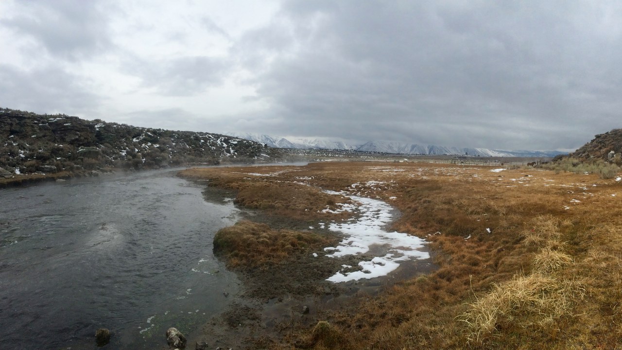
Image Credit: blmcalifornia – Public domain/Wiki Commons
The eruption that emptied this magma system 767,000 years ago spread the Bishop Tuff across the Southwest. Long Valley Caldera turned visibly restless in 1980, when four magnitude-6 earthquakes hit within two days and the resurgent dome at its center began rising; by the 1990s magmatic carbon dioxide seeping through Mammoth Mountain was killing stands of trees near Horseshoe Lake.
A 2023 seismic-imaging study led by Caltech researchers concluded the magma below is cooling and crystallizing. USGS assessments treat small eruptions along the Mono-Inyo chain, whose youngest vents are about 600 years old, as the more plausible outcome than another caldera event.
6. Mount Rainier: The Mud, Not The Lava
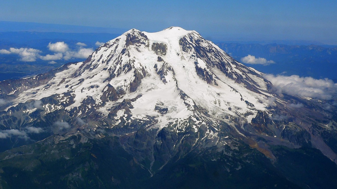
Image Credit: Stan Shebs – CC BY-SA 3.0/Wiki Commons
Rainier carries more glacial ice than any other peak in the contiguous United States, and the hazard planners model is the lahar rather than the lava flow. The Osceola Mudflow, about 5,600 years ago, filled valleys with debris all the way to Puget Sound, and the Electron Mudflow reached the Puyallup valley roughly 500 years ago, long after the volcano’s last confirmed eruption.
Water-saturated rock can collapse without any eruption at all, which is why Pierce County maintains lahar-warning sirens and schools in Orting rehearse evacuation drills. Tens of thousands of residents now live on ground those older flows deposited.
7. Hayward Fault: The Fault Under The Stadium
Image Credit: Thewellman – CC0/Wiki Commons
Running about 74 miles along the East Bay hills, the Hayward Fault passes directly beneath Oakland, Berkeley, Hayward and Fremont, and it splits California Memorial Stadium so visibly that engineers rebuilt the structure in two independently sliding halves. Its last major earthquake, on October 21, 1868, reached roughly magnitude 6.8.
Trenching has identified about a dozen prehistoric ruptures, with intervals averaging near 150 years. The USGS lists the fault among the Bay Area structures carrying the highest 30-year probability of a damaging earthquake, and it also creeps a few millimeters annually, buckling curbs and walls that straddle it.
8. Wasatch Fault: Utah’s Populated Fault Line
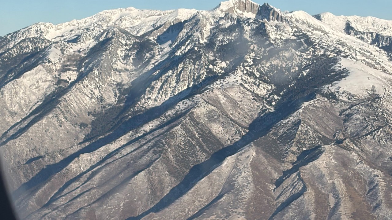
Image Credit: Alexis Doine – CC0/Wiki Commons
The Wasatch Fault runs roughly 240 miles along the western base of the Wasatch Range, and its five central segments sit beneath Utah’s populated corridor, from Brigham City through Salt Lake City to Nephi. Trenches cut across those segments show large earthquakes recurring every 900 to 1,300 years on any single one, the Salt Lake City segment’s most recent about 1,400 years ago.
The Working Group on Utah Earthquake Probabilities put the chance of a magnitude-6.75 or larger event on the Wasatch Front at 43 percent over 50 years. Magna’s magnitude-5.7 earthquake in 2020 damaged unreinforced masonry and pushed retrofitting up the state agenda.
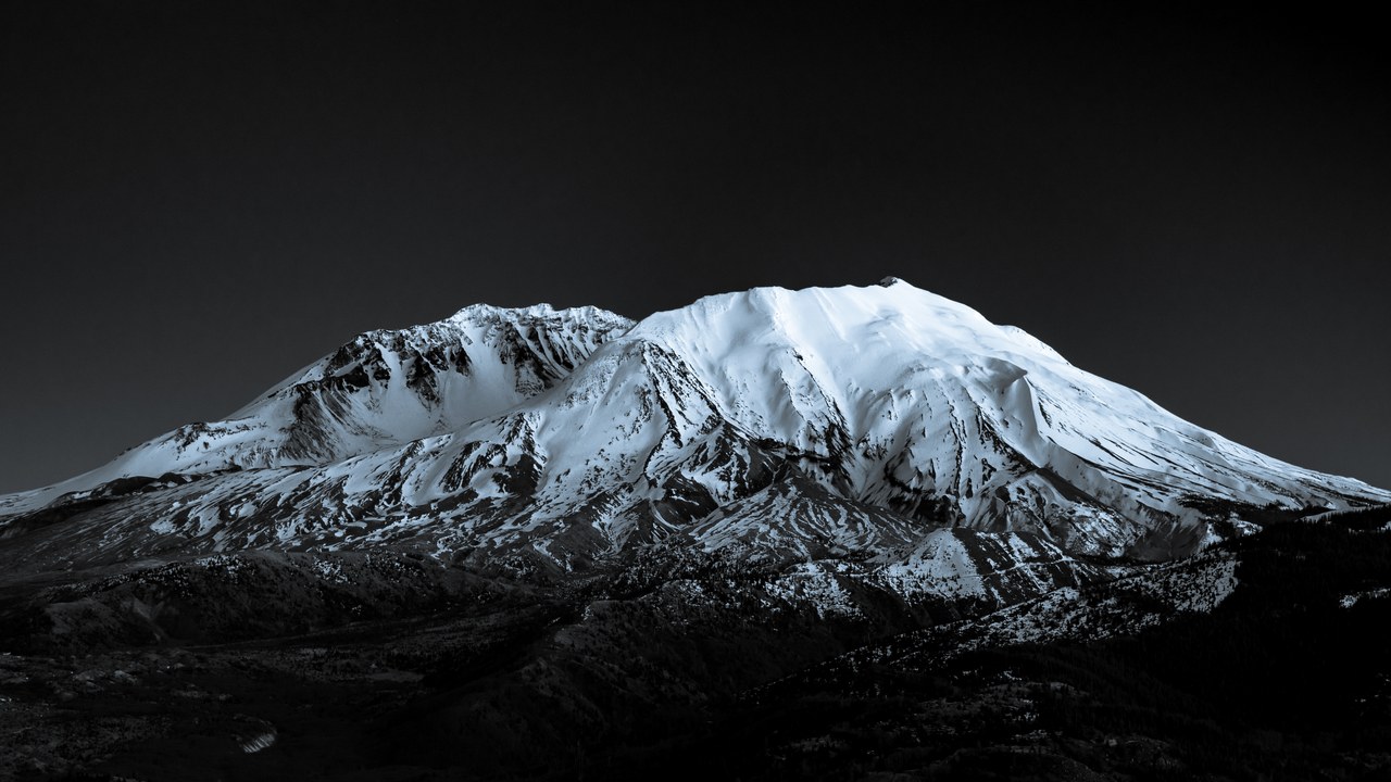
9. Mount St. Helens: The Cascades’ Busiest Volcano
Image Credit: Marshalllee84 – CC BY-SA 4.0/Wiki Commons
Collapse on May 18, 1980 removed about 1,300 feet from the summit of Mount St. Helens, sent the largest landslide in recorded history down the North Fork Toutle River and killed 57 people. Dome-building eruptions followed from 1980 to 1986 and again from 2004 to 2008, stacking fresh rock inside the crater at a measurable rate.
Geologists rank it the most frequently active volcano in the Cascade Range over the past 4,000 years. The Cascades Volcano Observatory keeps recording earthquake swarms that it interprets as the slow recharge of the magma reservoir beneath the mountain.
More from Morning Overview
Morning Overview is reader-supported. Some links in our articles are affiliate links, and we may earn a commission at no extra cost to you. As an Amazon Associate I earn from qualifying purchases. Full disclosure.