
Lakes rarely reveal their depths at a glance, since a still surface can mask basins that plunge for the better part of a mile straight down. Rift valleys, ancient volcanic calderas, and glacier-carved fjords all produce basins where sunlight fades long before the bottom appears. Here are nine lakes that reach the farthest below the waterline, spread across five continents and shaped by very different forces.
1. Lake Baikal: Ancient Basin, Record Depth
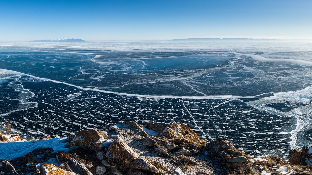
Lake Baikal, in Siberia, holds more water than any other freshwater lake and reaches farther below the surface than any lake known, a trench-like basin formed over roughly 25 million years of rifting. The Siberian rift lake stores close to a fifth of the planet’s unfrozen surface fresh water, and its steep sides drop for well over a kilometre before reaching sediment thick enough to muffle the true floor.
That isolation over geologic time produced hundreds of species found nowhere else, including a freshwater seal that has no ocean-going relatives. Researchers still treat exact bottom soundings as estimates, since thick sediment layers make the true rock floor hard to pin down.
2. Lake Tanganyika: Second-Deepest, Vast and Ancient
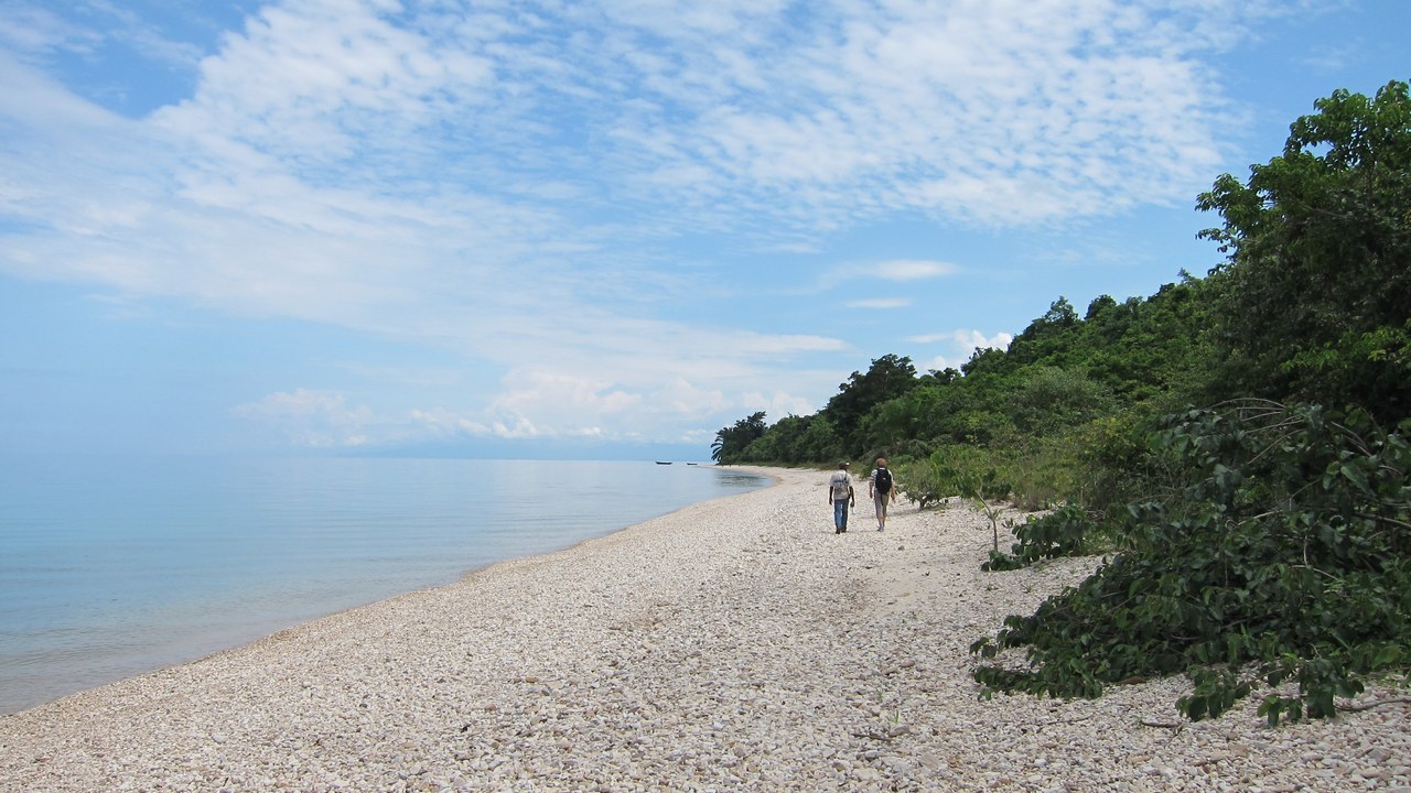
Lake Tanganyika stretches along the floor of the East African Rift between Tanzania, the Democratic Republic of the Congo, Burundi, and Zambia, and ranks as the second-deepest lake on record. Its basin holds one of the largest single reserves of liquid fresh water anywhere, filling a rift trough that formed as the continent slowly pulled apart.
Below a few hundred metres the water carries almost no dissolved oxygen, so the deep layers stay biologically still while an extraordinary variety of cichlid fish crowds the sunlit shallows above. Depth soundings here vary somewhat by survey, since the lake’s steep, uneven floor is difficult to map completely.
3. Caspian Sea: A Sea That’s Really a Lake
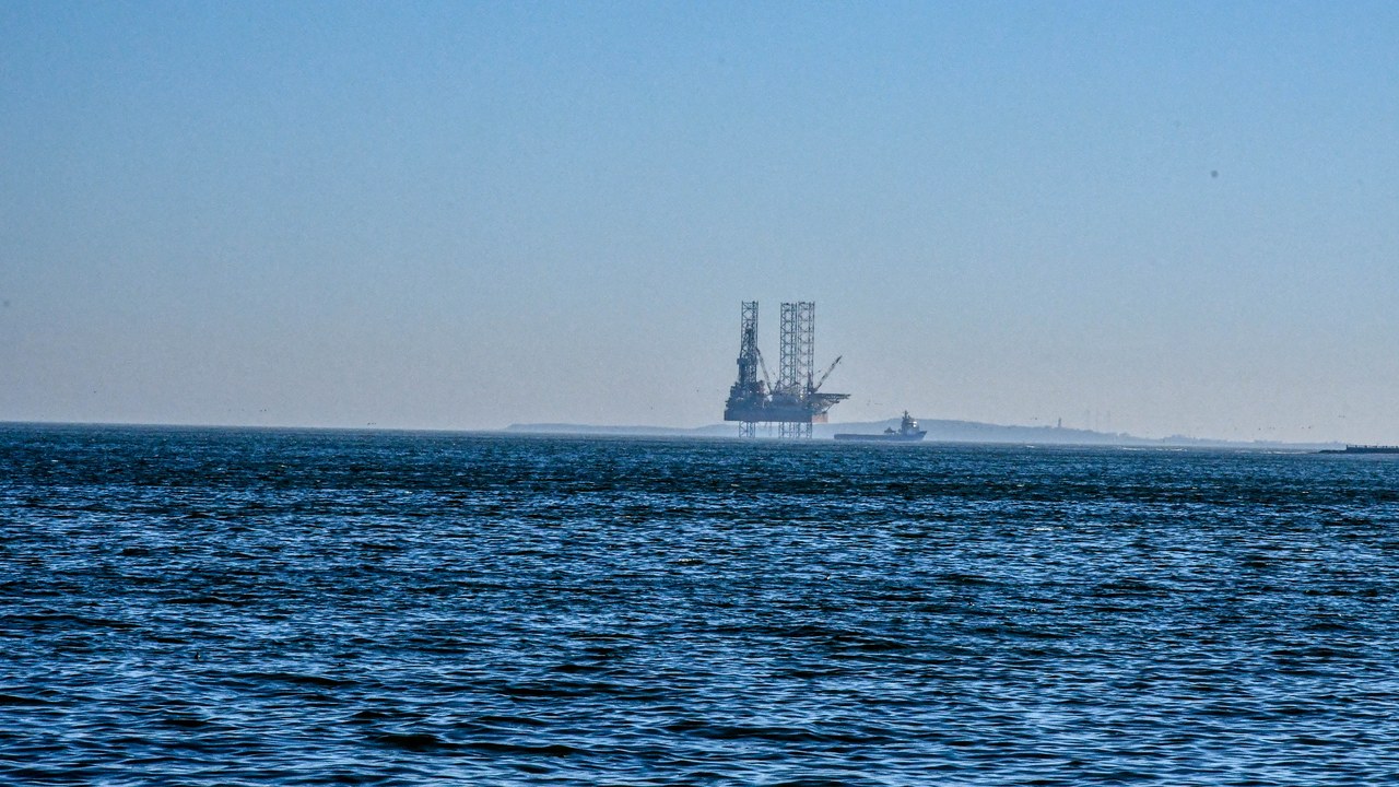
The Caspian Sea is the largest inland body of water on the planet, landlocked between Russia, Kazakhstan, Turkmenistan, Iran, and Azerbaijan despite its name. The Caspian’s southern basin drops far deeper than its shallow northern end, a split that reflects two very different geological histories meeting in one shoreline.
The south is a true depression, walled by the Caucasus and Alborz mountains, where the floor sinks well beyond a kilometre in places. Its water is salty but far less so than ocean water, a leftover of the ancient sea it was once connected to before tectonic shifts sealed it off.
4. O’Higgins/San Martin Lake: Patagonia’s Glacial Deep
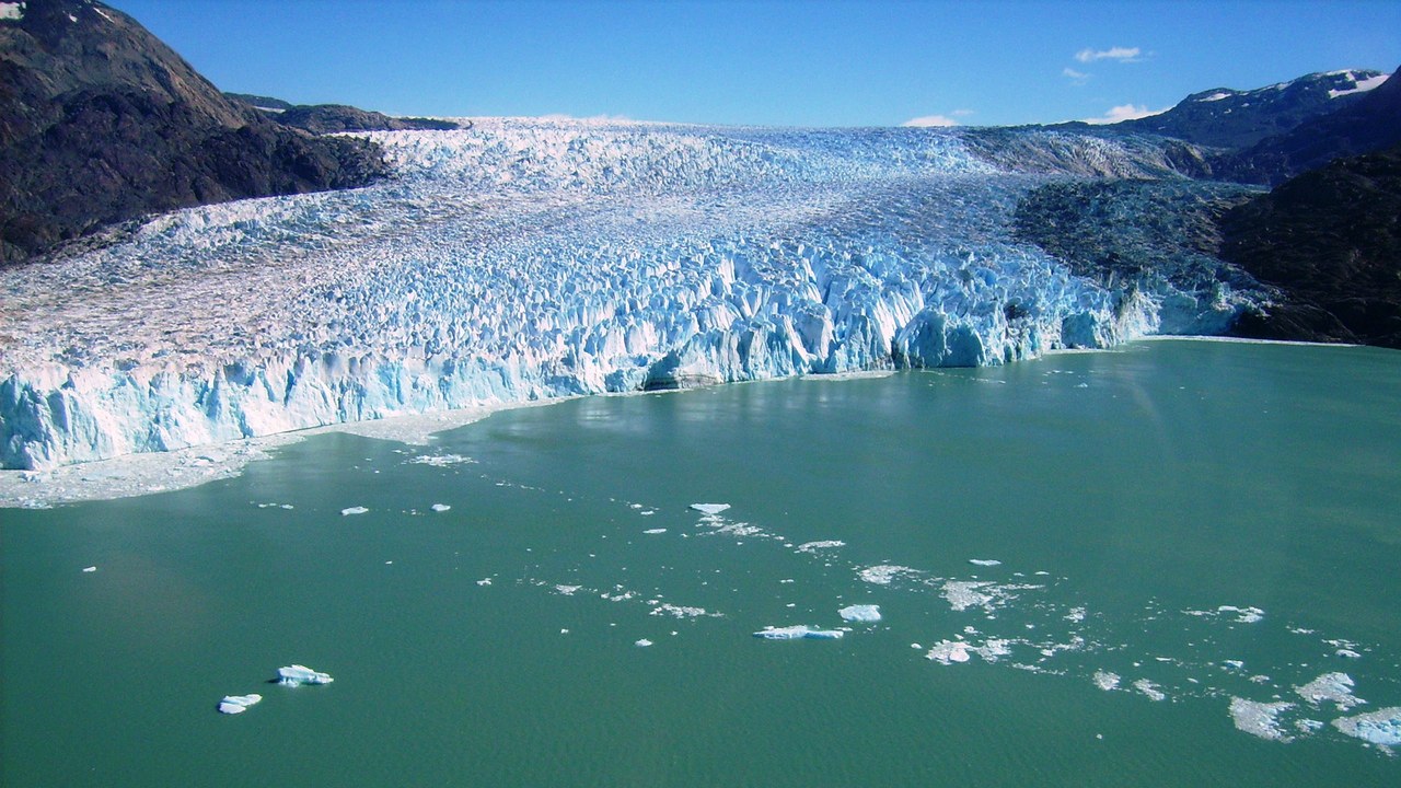
O’Higgins/San Martín Lake straddles the border of Chile and Argentina in Patagonia, fed by meltwater from the O’Higgins Glacier, and stands as the deepest lake in the Americas. Glaciers carved its narrow, branching basin over thousands of years, gouging a trench far below sea level in places.
The lake carries two names because it sits astride an international border, with Chile calling its arm O’Higgins and Argentina calling the connected water San Martín. Access is remote enough that detailed soundings remain limited, and cited depth figures should be treated as survey estimates rather than a settled number.
5. Lake Malawi: Rift Lake Full of Fish
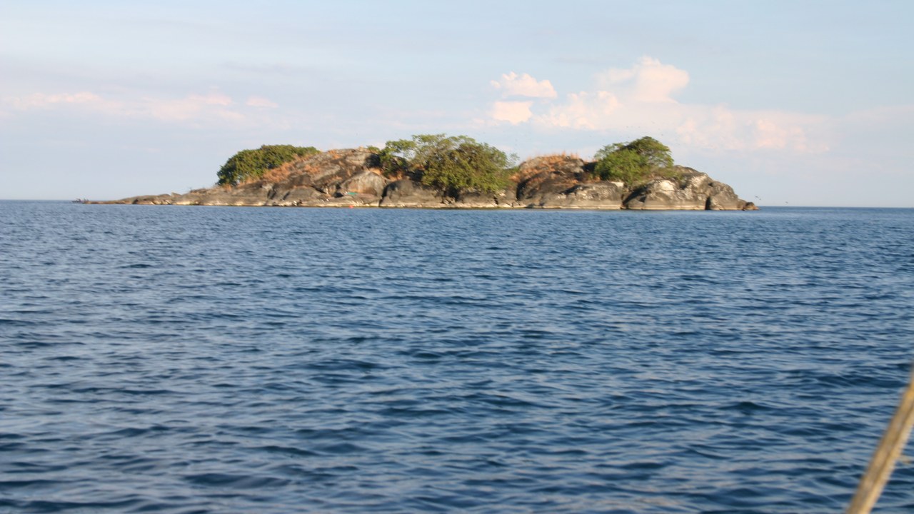
Lake Malawi fills a long, steep trough of the East African Rift, bordered by Malawi, Mozambique, and Tanzania, its basin dropping deep enough to rank among the most substantial freshwater reserves in Africa. The rift lake’s warm shallows support one of the richest concentrations of fish species found in any lake on Earth.
Hundreds of cichlid species evolved in near isolation along its shoreline, adapting to different rocky and sandy niches within just a few hundred thousand years. The deep water below stays cold and largely undisturbed, cut off from the sunlit layer that draws most of the lake’s biodiversity.
6. Issyk-Kul: The Lake That Won’t Freeze
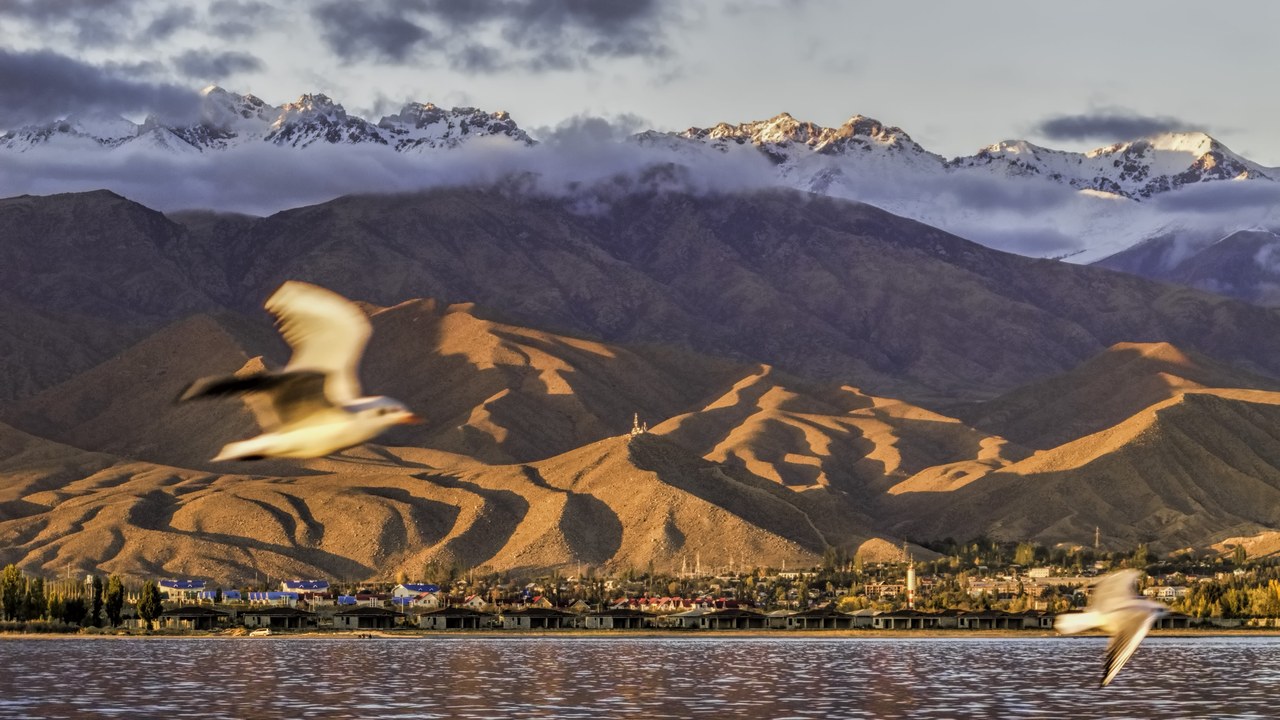
Issyk-Kul sits high in Kyrgyzstan’s Tian Shan mountains, ringed by snow-capped peaks, yet it never fully freezes even through brutal Central Asian winters. The alpine lake’s name translates roughly to “warm lake” in the local Kyrgyz language, a nod to that unusual behavior.
Its resistance to freezing comes from a combination of mild salinity, warm springs that feed it, and its sheer volume, which together keep surface temperatures from dropping to the freezing point. Beneath that mild surface, the basin descends steeply enough to rank among the deeper alpine lakes anywhere in the world.
7. Great Slave Lake: North America’s Deepest Basin
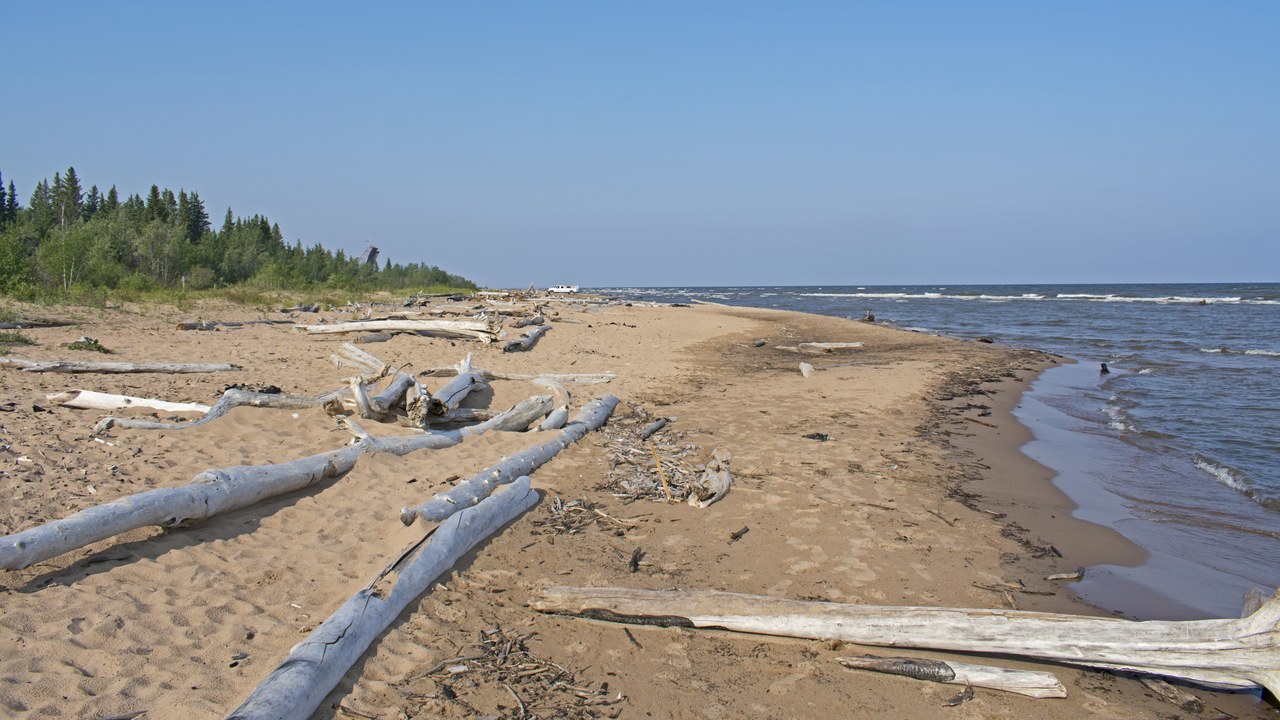
Ice sheets that once buried most of North America gouged out Great Slave Lake, in Canada’s Northwest Territories, now recognized as the deepest lake in North America. The lake feeds the Mackenzie River system, one of the longest drainage networks on the continent, and freezes solid enough each winter to support ice roads.
Its deep central trough sits in stark contrast to the much shallower bays along its southern shore, a legacy of how unevenly glacial ice scoured the bedrock beneath it. Commercial and subsistence fishing on the lake has long depended on species adapted to its cold, oxygen-rich depths.
8. Crater Lake: Born From a Volcano’s Collapse
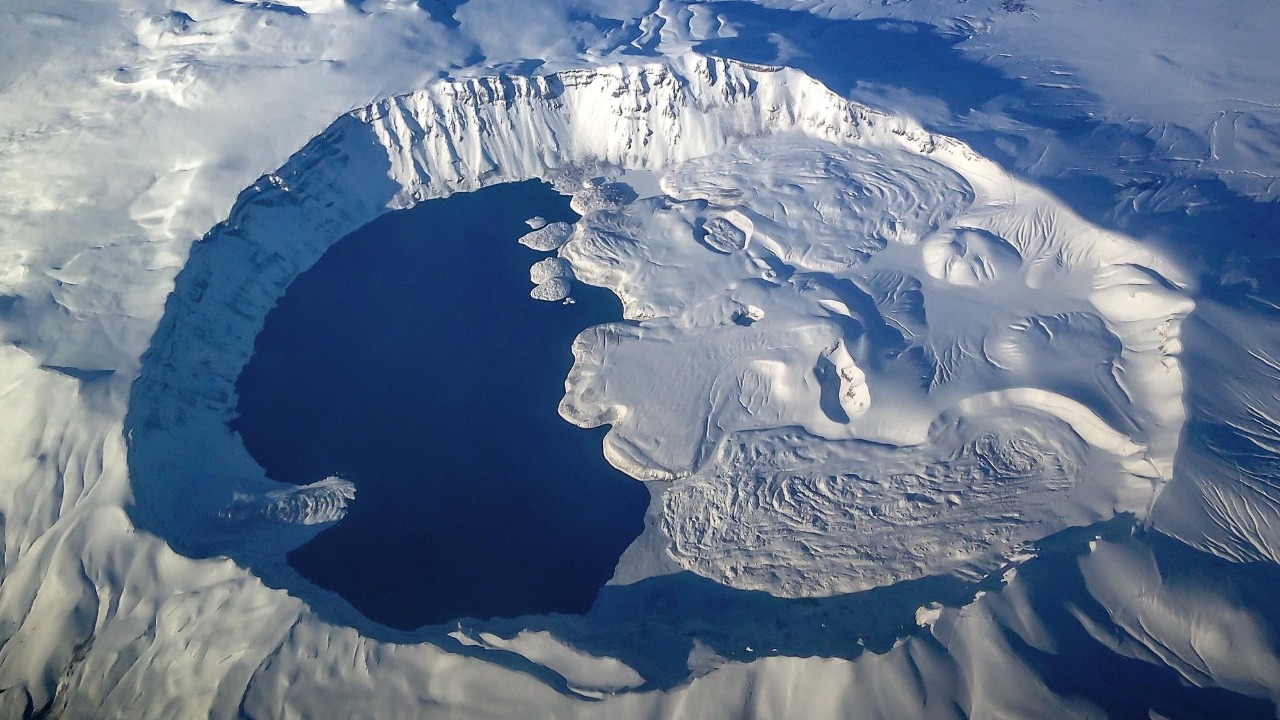
Southern Oregon’s Crater Lake formed when the volcano Mount Mazama collapsed inward roughly 7,700 years ago, leaving behind a caldera that slowly filled with rain and snowmelt. The National Park Service counts it as the deepest lake in the United States, with water so clear it holds a famously deep blue color.
Because the lake has no major rivers feeding it and no significant outlet, its water comes almost entirely from direct precipitation, keeping sediment and mineral content unusually low. That clarity, combined with the caldera’s steep walls, lets sunlight penetrate far deeper than in most lakes.
9. Quesnel Lake: A Fjord Carved by Glaciers
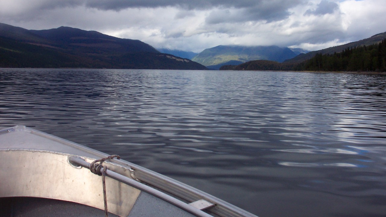
Carved by advancing and retreating glaciers, Quesnel Lake in British Columbia’s Cariboo Mountains is a long, narrow fjord lake that ranks among the deepest fjord-type lakes on record. Its steep, U-shaped walls plunge almost straight down from forested shorelines into cold, dark water.
A 2016 survey using sonar found the lake’s floor to be deeper than earlier maps had shown, a reminder that remote freshwater basins are often surveyed only sparsely. The lake also drains the Mount Polley mine watershed, which has drawn scientific attention since a 2014 tailings dam failure there.
More from Morning Overview
