
For low islands, sea-level rise is not a distant line on a chart but a force already reshaping shorelines, wells, roads, and homes. Storm surges reach farther inland as the baseline ocean climbs, while erosion removes land that communities cannot easily replace. These eight islands and island nations reveal what living at the water’s edge increasingly demands.
1. Tuvalu: A Nation Rises Only Feet Above the Pacific
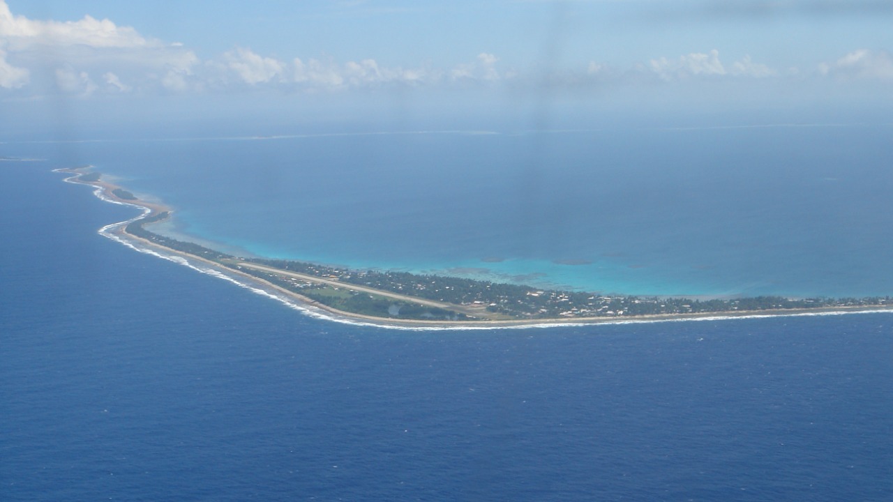
Tuvalu is a Pacific nation of nine low coral islands whose narrow strips rarely rise far above the ocean. Britannica’s Tuvalu profile describes a country formed from atolls and reef islands, with Funafuti as its capital. That geography leaves homes, roads, freshwater supplies, and public facilities with little vertical room when seas rise or storms push water inland.
Higher seas can worsen flooding, accelerate erosion, and drive saltwater into groundwater and garden soils. Those pressures compound crowded development on Funafuti, where much of the population lives along one slender atoll. Adaptation includes coastal defenses, improved water storage, and efforts to raise vulnerable land. Yet every project confronts the same limit: the country’s inhabited surface is exceptionally low, narrow, and exposed.
2. Kiribati: Scattered Atolls Face One Shared Threat
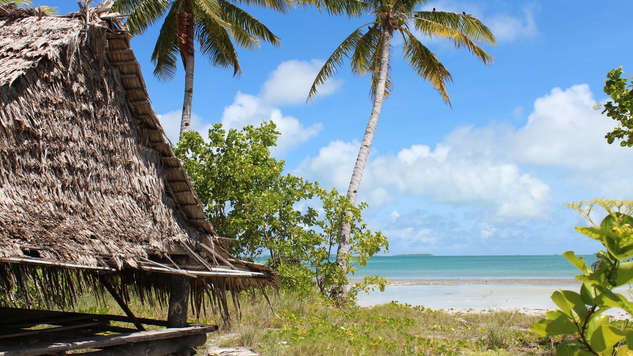
Kiribati spreads across the central Pacific, yet most of its land consists of extremely low coral atolls. Britannica’s Kiribati profile describes a republic divided among the Gilbert, Phoenix, and Line island groups. On densely populated South Tarawa, housing and infrastructure occupy narrow ground between ocean and lagoon, leaving few places to retreat within the atoll.
Rising seas magnify erosion, storm flooding, and salt contamination of the freshwater lens beneath the islands. The government has explored migration planning and purchased land in Fiji, although the property has also been presented as supporting food security rather than a national evacuation site. Kiribati’s challenge is local and national: protecting communities while preserving sovereignty, culture, and citizenship if inhabited shores become harder to sustain.
3. Maldives: The World’s Lowest Country Has Little Ground to Spare
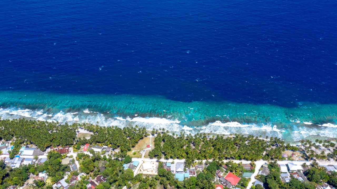
The Maldives consists of coral atolls scattered across the Indian Ocean, with nearly all natural land only feet above sea level. Britannica’s Maldives profile identifies it as the world’s lowest-lying country. Resorts, homes, airports, utilities, and freshwater systems occupy terrain where a modest rise in average sea level extends the reach of waves and storm surges.
The country has responded with sea walls, beach nourishment, and constructed higher ground, including the artificial island of Hulhumalé. Those measures can reduce risk in selected places but require enormous investment across hundreds of islands. Coral reefs also serve as natural wave barriers, making reef health part of coastal protection. The Maldives illustrates how adaptation can buy time while the ocean continues changing the baseline around every shore.
4. Marshall Islands: Salt Water Pushes Across Homes and Ancestral Ground
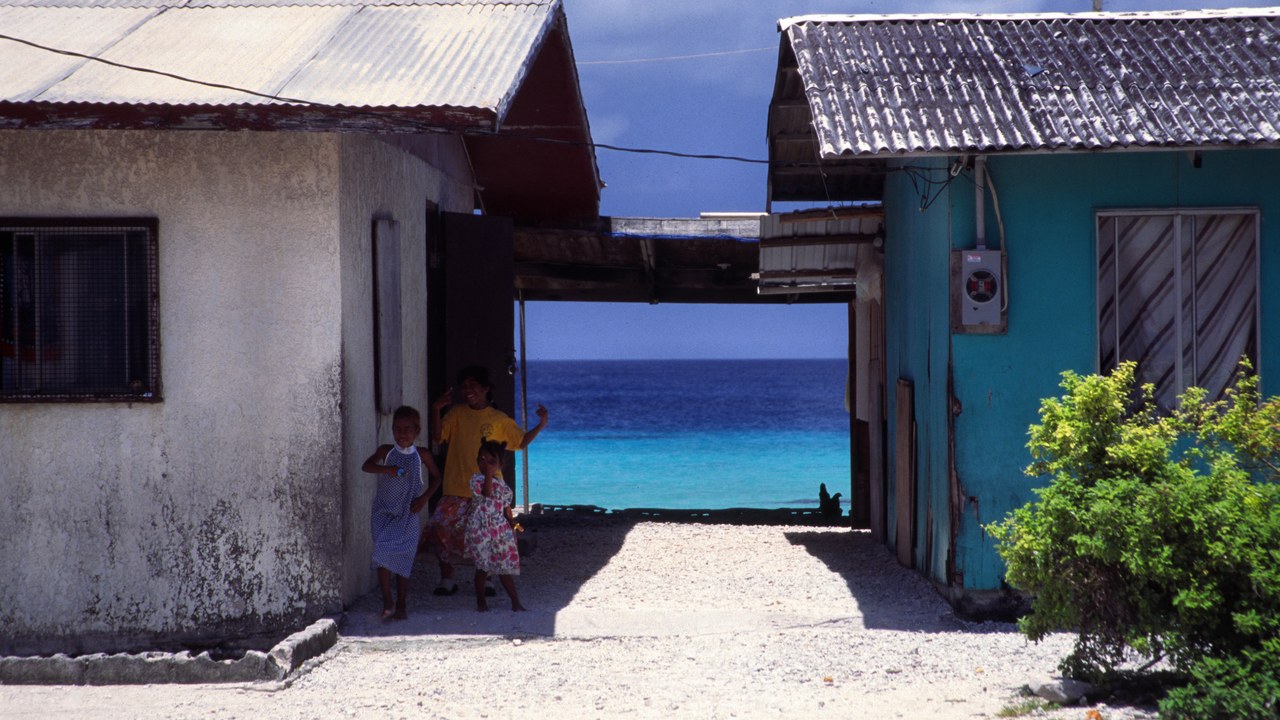
The Marshall Islands is a Pacific republic of low atolls arranged around shallow lagoons. Britannica’s Marshall Islands profile describes two parallel island chains with Majuro as the capital. Much of the population and critical infrastructure sits on thin ribbons of coral ground, where ocean water can cross from the seaward coast toward the lagoon during high waves.
Flooding damages homes, roads, crops, and freshwater supplies, while erosion can disturb cemeteries and culturally important sites. Because an atoll offers little higher land, relocation within the community may provide limited relief. Coastal defenses, water systems, and land-raising projects can reduce immediate danger, but planning also raises questions about displacement, national identity, and the right of Marshallese people to remain on ancestral islands.
5. Isle de Jean Charles: A Louisiana Community Has Watched Its Land Disappear
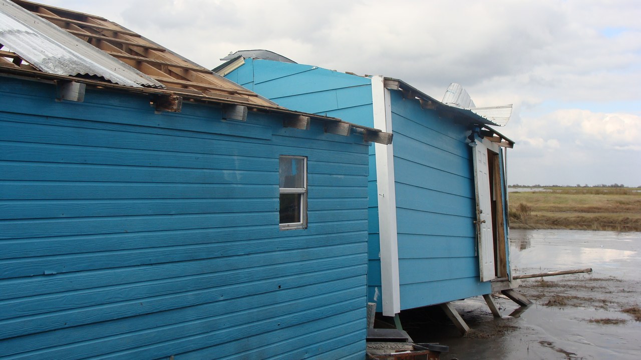
Isle de Jean Charles is a narrow Louisiana island connected to the mainland by one road. The Isle de Jean Charles community has lost wetlands and land to erosion, subsidence, storms, and rising water. The island is home to Indigenous families whose ties to the landscape extend beyond property, making retreat a cultural loss as well as a physical move.
Louisiana received federal funding for a resettlement initiative to help residents move to safer ground, making the community a case of climate displacement planning. The process has exposed how difficult relocation can be when residents disagree about timing, control, and what a settlement should preserve. A shrinking island changes more than an address; it strains kinship networks, traditions, and a community’s authority over its future.
6. Ghoramara Island: A River Island Is Losing Ground at Its Edges
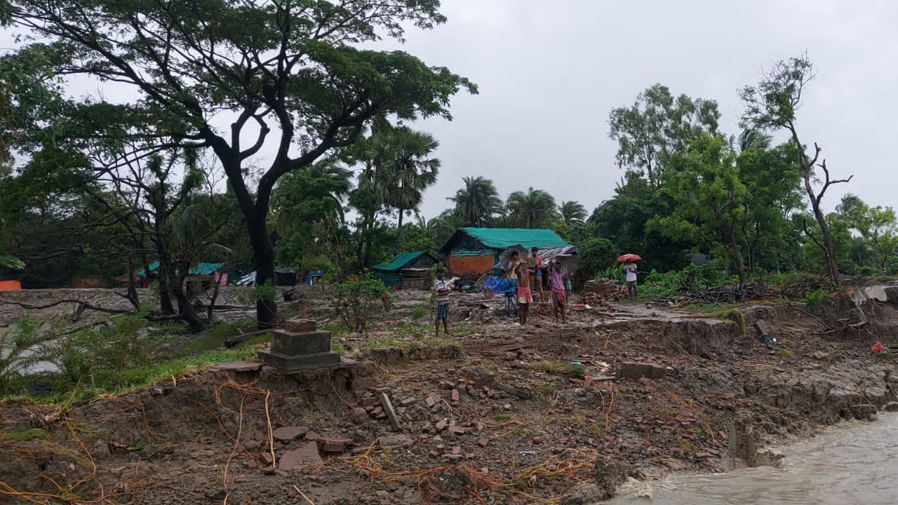
Ghoramara Island lies in India’s Sundarbans region, where the Ganges-Brahmaputra-Meghna delta meets the Bay of Bengal. Britannica’s Ghoramara Island profile describes a small inhabited island that has lost substantial land to erosion. Strong currents, cyclones, subsidence, and sea-level rise all shape this shifting delta, steadily narrowing the space available for farms, homes, and public buildings.
Residents have moved structures inland when possible, but an island can only retreat until it reaches the opposite shore. Families displaced from eroded villages often face difficult choices about work, housing, and community connections elsewhere. Embankments provide some protection, yet they can fail during extreme weather and require continuous maintenance. Ghoramara makes coastal loss visible house by house, as an inhabited map is redrawn within a single lifetime.
7. Kivalina, Alaska: An Arctic Village Is Running Out of Protective Shore
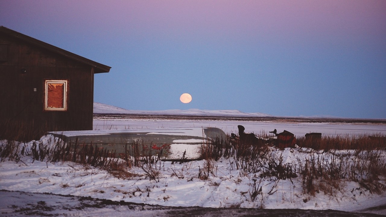
Kivalina is an Iñupiat village on a narrow barrier island along Alaska’s Chukchi Sea coast. The Kivalina community sits between sea and lagoon, with little room to escape erosion and storm flooding. Loss of protective sea ice allows autumn waves to strike more directly, while thawing permafrost can weaken the ground beneath infrastructure.
Relocation has been discussed for decades, but selecting a site, building access, and financing a replacement settlement remain formidable challenges. Rock structures can slow erosion near critical areas without resolving long-term exposure. Moving buildings also does not automatically preserve access to hunting grounds, local knowledge, and community relationships rooted in place. The island’s shrinking margin turns those decisions into an urgent engineering and political problem.
8. Solomon Islands: Reef Islands Have Already Vanished From the Map
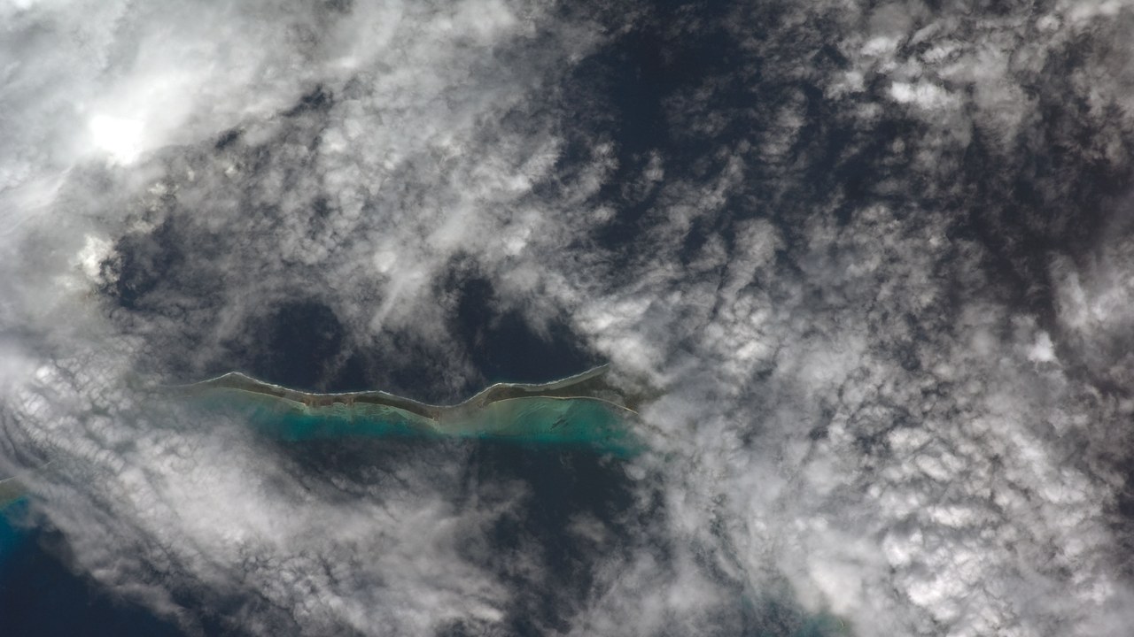
The Solomon Islands archipelago includes mountainous volcanic islands and much lower reef islands across the southwestern Pacific. Britannica’s Solomon Islands profile describes a nation of hundreds of islands east of Papua New Guinea. Exposure therefore differs sharply: elevated interiors offer options on larger islands, while small reef islands can be overtopped or eroded away.
Researchers comparing aerial photographs and satellite images have documented several small reef islands that disappeared as sea levels rose and wave energy shifted shorelines. Other inhabited islands lost large areas, prompting communities to move villages inland or onto neighboring land. Local currents and storms affect each shoreline, so no single cause explains every change. Still, the vanished islands preview what sustained sea-level rise can do to the smallest pieces of land.
More from Morning Overview
