
Weather records turn abstract climate statistics into places that can be mapped, visited, and sometimes inhabited. Geography concentrates heat, cold, rain, wind, drought, and lightning through elevation, terrain, currents, and atmospheric circulation. These eight spots show where ordinary weather variables have reached extraordinary limits today.
1. Death Valley: Earth’s Official Heat Benchmark
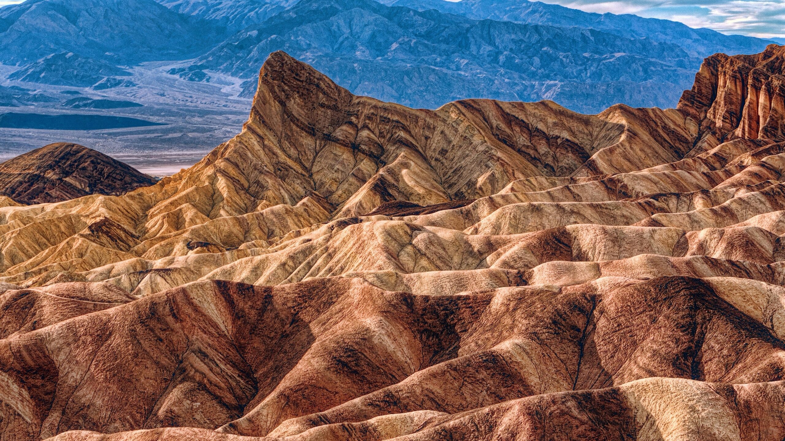
Death Valley’s Furnace Creek weather station recorded an air temperature of 134 degrees Fahrenheit on July 10, 1913. The National Park Service describes Death Valley as the hottest, driest, and lowest national park in the United States. Its floor sinks below sea level while steep mountain walls enclose a long, narrow basin.
That topography helps heat build. Clear skies and sparse vegetation allow intense solar energy to warm the ground, which then heats the air above it. Descending air also compresses and warms as it moves into the valley. Summer nights offer limited relief because surrounding rock and soil release stored heat after sunset, extending the thermal stress well beyond the brightest part of the day.
2. Vostok Station: The Coldest Direct Air Reading
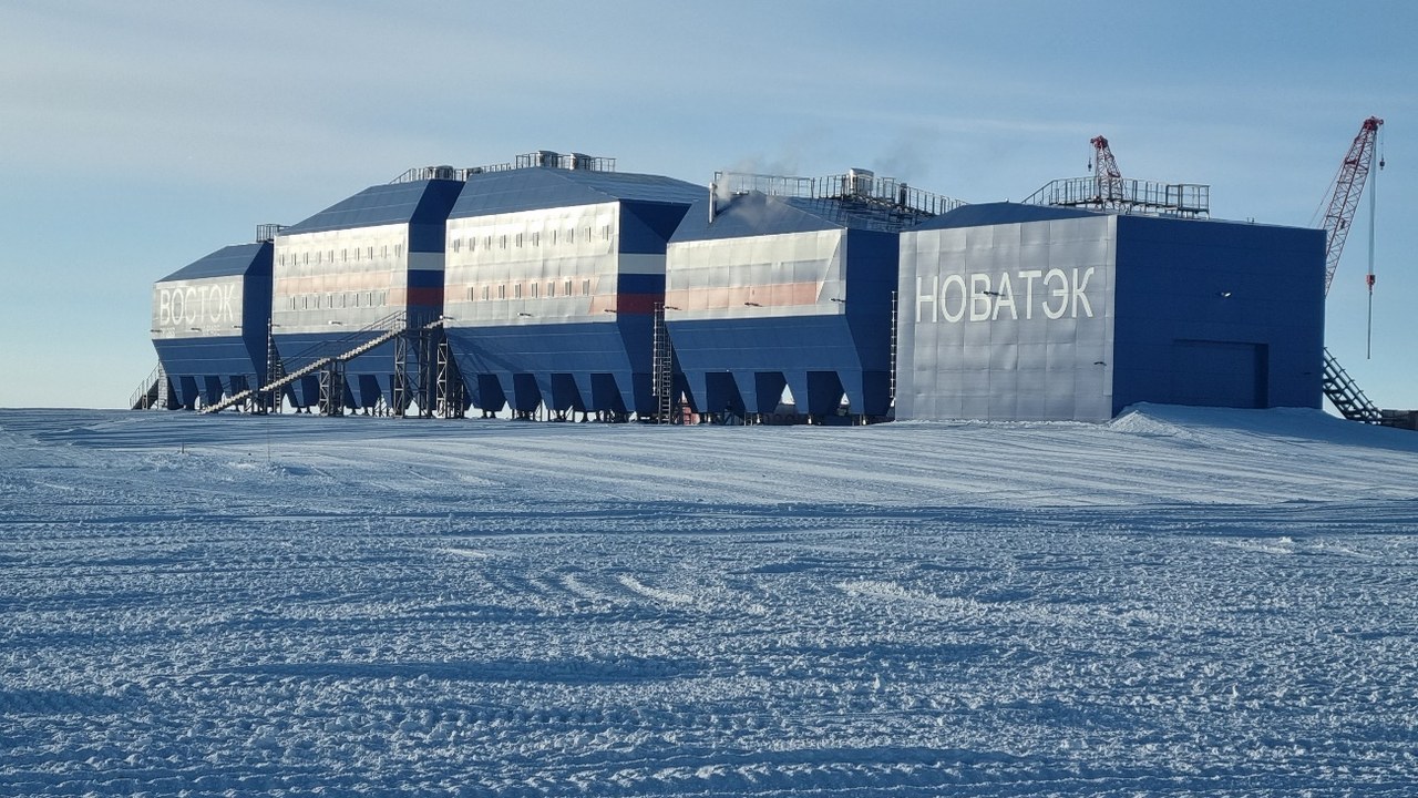
Vostok Station sits high on the East Antarctic Ice Sheet, far from the moderating influence of an open ocean. On July 21, 1983, instruments there measured minus 128.6 degrees Fahrenheit, or minus 89.2 Celsius. That Vostok reading remains the lowest directly measured natural air temperature recognized for a weather station.
Several forces align to produce such cold. The station’s elevation exceeds 11,000 feet, the winter sun disappears for months, and the dry, thin atmosphere retains little heat. Clear, calm conditions let the snow surface radiate energy into space. Satellites have inferred colder temperatures at the Antarctic surface elsewhere, but those estimates are not the same kind of sheltered air measurement recorded at Vostok.
3. Mawsynram: Monsoon Rain Focused by Mountains
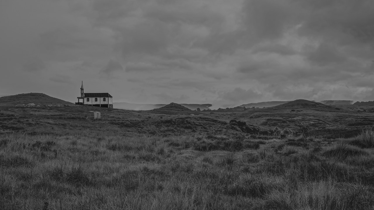
Mawsynram lies in Meghalaya’s Khasi Hills, where summer monsoon air arrives heavily loaded with moisture from the Bay of Bengal. The village is commonly identified as the world’s wettest inhabited place by average annual rainfall. Mawsynram receives roughly 467 inches of precipitation in an average year, most of it during the monsoon season.
Terrain supplies the final squeeze. Moist air moving north across Bangladesh meets the steep southern face of the plateau and is forced upward. As it rises, the air cools, water vapor condenses, and rain intensifies over a remarkably concentrated area. The record is therefore not simply a matter of tropical latitude; it emerges from the precise alignment of moisture, prevailing winds, and an abrupt mountain barrier.
4. Commonwealth Bay: Katabatic Winds Race Toward the Coast
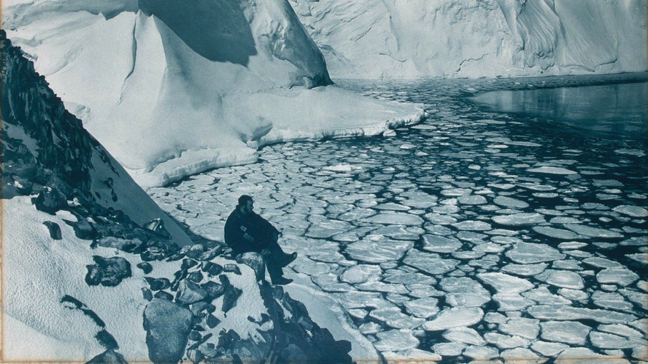
Commonwealth Bay cuts into the Antarctic coast near Cape Denison, the base used by Douglas Mawson’s Australasian Antarctic Expedition. The location became famous for sustained winds that made fieldwork and daily life exceptionally difficult. It is widely described as one of the windiest places at sea level, with powerful gusts recurring through much of the year.
The engine is katabatic flow. Extremely cold, dense air forms over the elevated ice sheet and accelerates downhill under gravity toward the coast. Valleys and slopes channel that air, allowing it to reach the bay with extraordinary force. Unlike a brief tropical cyclone, the phenomenon is built into the landscape and temperature structure of Antarctica, so damaging wind can return under otherwise clear polar skies.
5. Atacama Desert: A Desert Shielded from Moisture
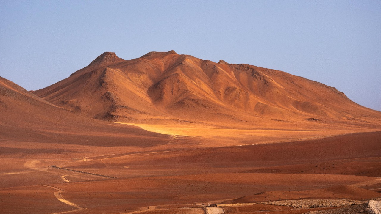
The Atacama runs along northern Chile between the Pacific coast and the Andes. Portions of its core rank among the driest nonpolar environments on Earth, with some weather stations going years without measurable rain. The desert extends roughly 600 to 700 miles, but its most extreme aridity is concentrated rather than uniform.
Several barriers cooperate to exclude moisture. The Andes block humid air arriving from the east, while the Chilean Coast Range limits Pacific influence. Offshore, the cold Humboldt Current stabilizes the lower atmosphere and discourages the rising air needed for rain clouds, even when fog forms near the coast. The result is a long-lived desert where salt flats, bare rock, and exceptionally clear skies dominate large stretches.
6. Lake Maracaibo: Lightning Returns Night After Night
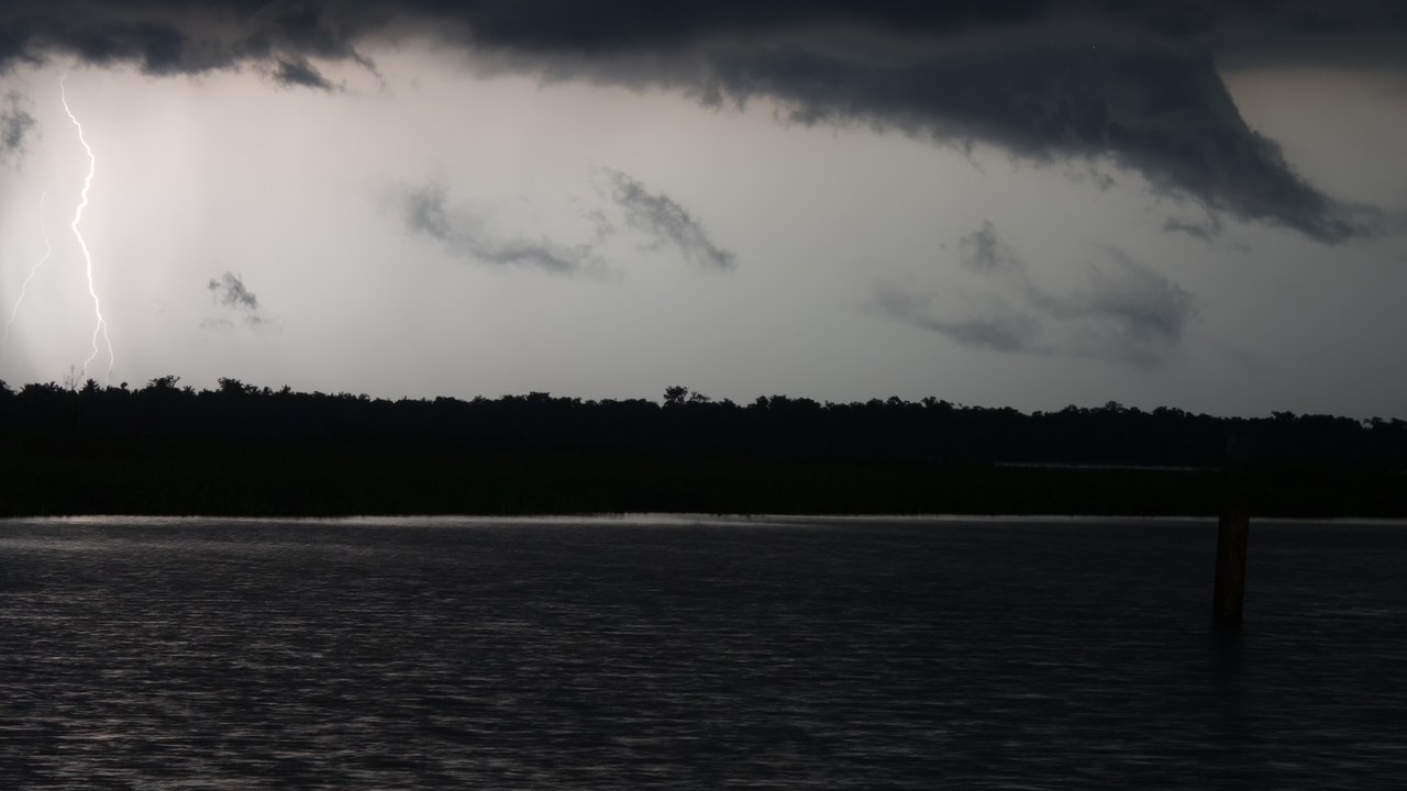
Lake Maracaibo occupies a broad basin in northwestern Venezuela, connected to the Caribbean by a narrow channel. Near the mouth of the Catatumbo River, thunderstorms produce a famous concentration of lightning on roughly 300 nights in some years. The lake is surrounded by mountains that help shape the local circulation behind this electrical hotspot.
Warm, moist air moves inland from the lake and Caribbean, then collides with cooler air descending from the Andes and nearby ranges. Rising air feeds tall storm clouds, while nighttime wind patterns repeatedly focus the storms over the basin. The lightning is not literally continuous, and its intensity varies by season, but its recurrence makes the Catatumbo region one of the planet’s most reliable natural light shows.
7. Oymyakon: Permanent Life in a Deep Freeze
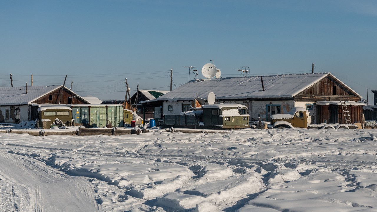
Oymyakon is a small settlement in the Sakha republic of northeastern Russia and one of the coldest permanently inhabited places on Earth. A temperature near minus 90 degrees Fahrenheit was recorded there in 1933. The village lies in a sheltered valley, where geography intensifies the already severe Siberian winter.
Cold, dense air drains from surrounding high ground and settles on the valley floor, while short winter days provide little solar heating. The location is also far from an ocean capable of softening temperature swings. Residents adapt homes, vehicles, schools, and food storage to conditions that can freeze machinery and exposed skin rapidly. Oymyakon’s record is remarkable precisely because it belongs to a functioning community, not an isolated research camp.
8. Cherrapunji: A Historic Year of Relentless Rain
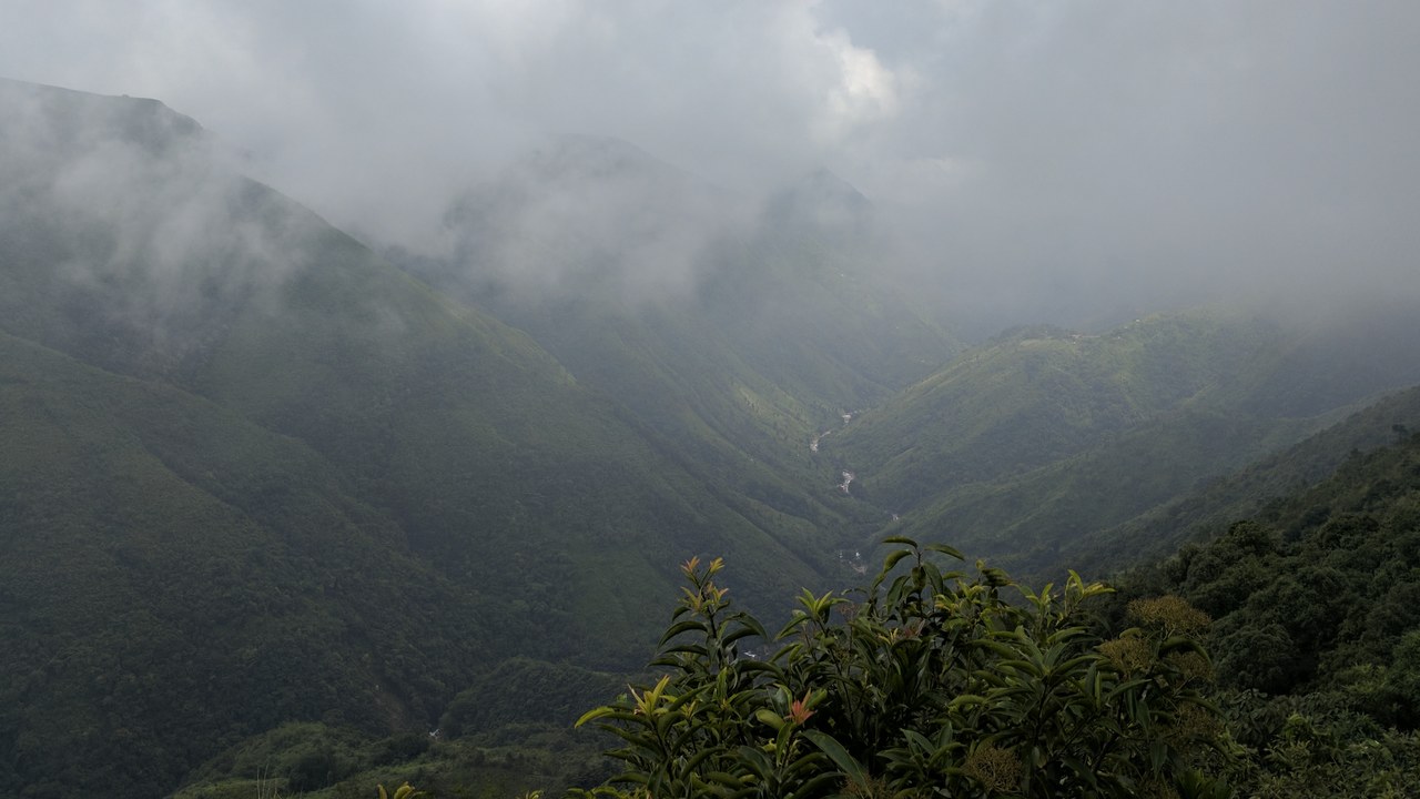
Cherrapunji, also called Sohra, sits on the same Meghalaya plateau as Mawsynram and shares its powerful monsoon mechanism. The town holds extraordinary short-period rainfall records, including about 1,042 inches over the 12 months ending in July 1861. Cherrapunji’s heavy rainfall is concentrated in the summer monsoon rather than spread evenly through the year.
Moist air crossing the plains of Bangladesh is lifted abruptly by the southern escarpment of the Khasi Hills. Repeated storm bands can then unload immense quantities of water over the ridge. Paradoxically, the dry season may bring water shortages because steep slopes shed rain quickly and deforestation has reduced local storage. Holding a rainfall record does not guarantee a reliable year-round supply; timing and landscape determine what remains available.
More from Morning Overview
- A skeleton beneath Petra’s Treasury was found clutching a chalice that resembles the Holy Grail
- 8 SUVs mechanics are quietly steering buyers away from in 2026
- Researchers pulled 8,080 pounds of invasive python from one Florida county
- A G3 solar storm could push the northern lights into 26 states tonight
