
A wildfire’s visible front is only one part of the danger spreading through the landscape and atmosphere. Remote instruments can follow smoke, active fire fronts, towering storm clouds, exposed communities, ignition sources, and unstable burned slopes. These six wildfire threats show how satellites and sensors extend the warning picture far beyond the flames seen from the ground.
1. Smoke: The Plume Can Outrun the Fire
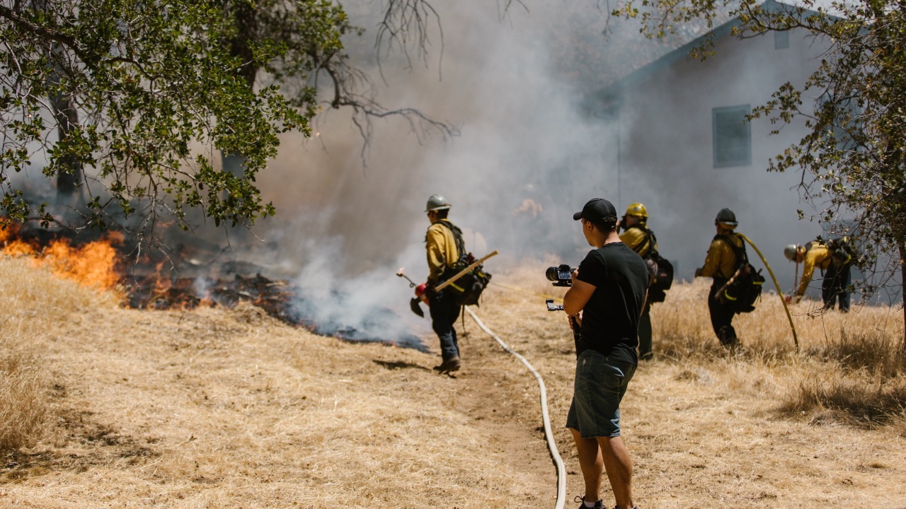
AirNow’s wildfire smoke tracking follows plumes that can threaten communities far from the active burn. That distance changes the emergency map: a place does not need flames on its horizon to face unhealthy air. Remote observations help reveal where smoke is moving after it leaves the source and spreads through regional weather patterns.
The plume can cross jurisdictions and affect people who never receive an evacuation notice. Tracking therefore supports a different set of decisions from fire-line mapping, including air-quality alerts, outdoor-activity changes, and protection for people with greater respiratory vulnerability. Smoke also changes with wind and atmospheric conditions, so a single ground observation cannot describe the whole footprint. A wider sensor view turns an invisible regional exposure into something agencies can follow over time.
2. Active Fire Front: Heat Signals Trace the Moving Edge
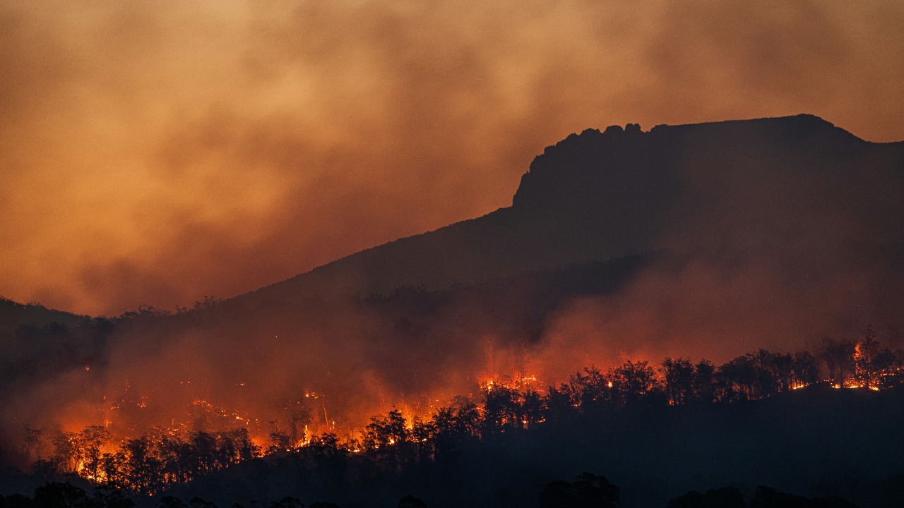
NASA’s Western Europe fire imagery shows how orbital sensors separate actively burning terrain from the wider damage zone. Heat detections and repeated observations can reveal where a fire front is advancing even when smoke obscures the ground or crews cannot view an entire hillside at once. The visible flames mark only part of a perimeter that can stretch across rugged country.
That distinction matters because the active edge is where fresh vegetation, structures, and access routes face immediate exposure. A satellite pass cannot replace incident-command maps or conditions reported by crews, and timing or cloud cover can leave gaps. It does provide a broad, consistent view that helps analysts compare sections of a complex fire and recognize where separate burning areas are joining into a larger event.
3. Pyrocumulonimbus cloud: A Fire Can Build Its Own Thunderstorm
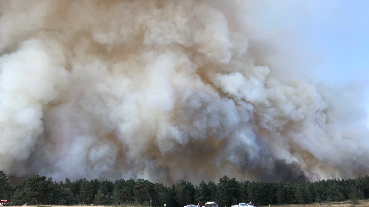
NASA missions are being prepared to study extreme fire-generated storms, including pyrocumulonimbus clouds. These towering systems form when intense heat drives smoke and moisture upward with enough force to create a thunderstorm-scale cloud, lifting the wildfire’s effects far above the surface where crews are confronting the flames.
Once the plume reaches that scale, the threat becomes an atmospheric event as well as a ground fire. A towering smoke column is the visible warning, while remote instruments examine its height, structure, and movement to determine whether it has developed into a fire-driven thunderstorm. Those measurements matter because a dramatic cloud photograph alone does not establish every atmospheric feature. The confirmed system signals that the blaze is influencing its own environment and adding another layer of volatility.
4. Wildland–urban interface: The Map Shows Where Homes Meet Fuel
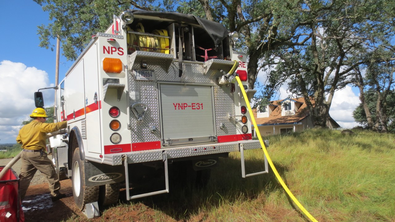
FEMA describes the wildland–urban interface as the zone where homes and other development meet or mix with fire-prone vegetation. Mapping that boundary reveals exposure before a fire arrives, because the danger comes from the arrangement of structures and fuels across a landscape rather than from a single burning point.
The interface can spread across neighborhoods, roads, and vegetation patterns that are difficult to understand from street level alone. Remote imagery helps planners see where development presses into combustible terrain and where evacuation or suppression may become complicated. The map does not predict which house will burn, but it identifies the places where a wildland fire can quickly become a community disaster. That makes land-use visibility part of wildfire preparedness, not merely a planning exercise.
5. Lightning: An Ignition Source Flashes Into View
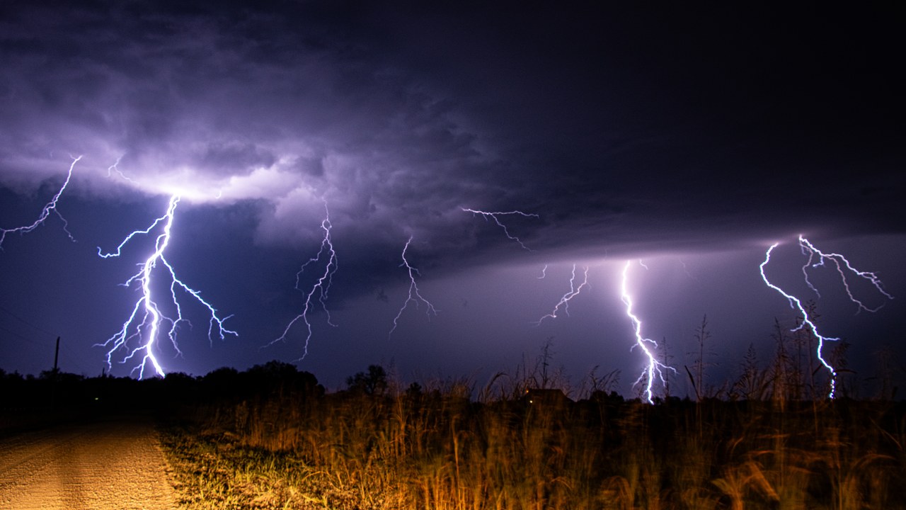
NOAA’s fire-weather products track lightning as a major wildfire ignition source. The flash may last only an instant, while a resulting fire can remain small or concealed before it is reported. Detection systems turn that brief electrical event into location and timing information that can be compared with fuels, weather, and later signs of smoke.
That record helps narrow the search after storms cross remote terrain. Crews cannot watch every strike location from the ground, and an ignition may occur where access is slow or visibility is poor. Sensor data provides a starting point for monitoring areas that deserve attention even when no flame is yet visible. Lightning therefore sits at the earliest edge of the wildfire timeline: a momentary atmospheric signal can identify where the next incident may already be developing.
6. Debris flow: Burned Slopes Can Fail After the Fire
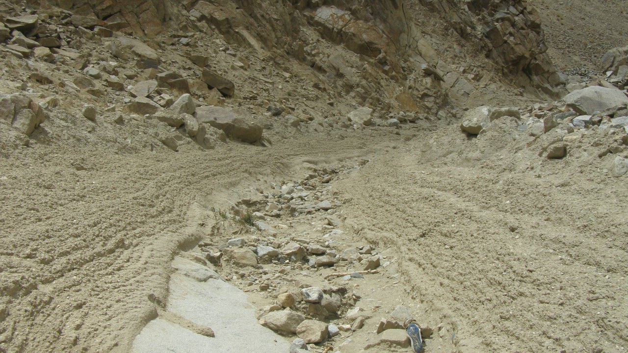
USGS produces postfire hazard maps showing slopes that may fail during rain. The fire may be contained, yet burned terrain can remain vulnerable because water and loose material can move rapidly downhill. Mapping shifts attention from the extinguished flame front to drainage paths and slopes where the next emergency could begin.
This is a delayed wildfire threat, which makes it easy to underestimate once smoke clears and crews leave. Rainfall can activate hazards in the burn scar and send debris toward roads, homes, or channels below. Remote terrain analysis lets agencies identify the most concerning areas before a storm tests them in real time. The result extends wildfire monitoring into recovery, recognizing that damage to a landscape can keep producing danger long after combustion ends.
This article was produced with the assistance of AI and reviewed by Morning Overview editors prior to publication.
More from Morning Overview
- A Colorado wildfire has exploded past 87,000 acres with no containment
- A wildfire near Ouray swelled past 18,000 acres, putting Colorado towns on alert
- The Pentagon’s newest UFO files describe a fish-scaled, potato-shaped object on camera
- Scientists spotted a rare tusked whale alive at sea for the first time, then fired a crossbow at it.
