The contiguous United States averaged 69.4°F in September 2026, which NOAA’s National Centers for Environmental Information (NCEI) put at 4.6°F above the 20th-century average. That made it the warmest September in the agency’s 132-year record, which begins in 1895, and the month ended with drought covering most of the South.
The old mark of 68.95°F, set in 1998, was passed by roughly 0.45°F. Eight states posted their own warmest September, and nighttime temperatures broke a separate record that had stood since 2019.
NCEI’s September ranking and the 1998 benchmark
In its national summary published October 8, NCEI stated that the month’s average came in “4.6°F above the 20th-century average.” The comparison record belonged to 1998, so September 2026 displaced it, with the margin measured against a benchmark that had held for 28 years, after 132 years of measurements summarized in NCEI’s national climate summary. The agency also explains how its placements are defined in a ranking-definition explainer, which readers can consult when comparing one month’s rank with another.
The month extended a long run. NCEI reported that the contiguous U.S. monthly average has stayed above its 20th-century average for 20 straight months, from February 2025 through September 2026, and that four months in 2026 (March, July, August and September) have each ranked warmest on record for their calendar month. Above- to much-above-average temperatures covered much of the interior and reached the East Coast, while parts of northern California and the Pacific Northwest finished below average, so the record rested on a broad swath of the country rather than on every region at once.
Record states and the warm nights
NCEI’s summary states that “Eight states had their warmest September on record.” The page names five of them: Arkansas, Illinois, Kansas, Missouri and Oklahoma, each of which broke a record dating to the 1920s or 1930s. The three remaining states are not identified in the summary, and the full report due October 14 is where a complete list should appear.
Nights were notable on their own. The national average minimum temperature beat the previous September record, set in 2019, by more than 1.2°F, according to NCEI. About 30 percent of the contiguous U.S. land area, home to an estimated 80 million people, recorded its warmest September nighttime temperatures on record.
Outside the lower 48, Alaska averaged 42.5°F, 1.9°F above its 1925-2000 average and in the warmest third of its 102-year record. Hawaii averaged 71.1°F, the second-warmest September in a 36-year record, and its minimum temperatures averaged 65.0°F, the warmest September minimums on record there. Alaska’s precipitation of 4.74 inches was 0.17 inch above average and in the middle third of its record, although Fairbanks had its wettest September since 1925.
Drought across the South and the rain that missed it
Precipitation for the contiguous U.S. averaged 2.69 inches, 0.20 inch above the 20th-century average, which put the month in the wettest third of the record. The national figure hides a split. The Northwest, the northern and central Plains and the Southwest ran wet, with Arizona’s 2.97 inches the second-wettest September on record and New Mexico’s total of more than 5 inches also second-wettest. Arizona’s September was its wettest since 1983, and New Mexico’s was its wettest since 1941, according to NCEI. Much of the South, the middle Mississippi Valley and the Southeast ran below to much below average.
That dryness coincided with widespread drought. NCEI reported that about 59 percent of the contiguous U.S. was in drought on September 29, roughly unchanged from the start of the month, according to the U.S. Drought Monitor. In the South region the coverage reached 89 percent, the largest extent since October 2000. NCEI pointed to the Drought Monitor’s September 29 map for the South, and noted that drought expanded or intensified in the southern Plains and the Lower Mississippi and Tennessee valleys while easing in parts of the Southwest, northern Plains and Upper Midwest. Weekly state and county figures can be pulled from the Drought Monitor’s data tables.
Hawaii was the wet exception to the dry southern pattern. Its September precipitation of 10.83 inches was 6.42 inches above its 1991-2020 average, with Hurricane Lowell contributing, and its January-September total of 86.66 inches was the wettest such period on record, 42.70 inches above average. The state’s September total was also its wettest since 2015, and NCEI ranked the month second-wettest in Hawaii’s 36-year record.
October outlooks and what comes next
Looking ahead, NCEI said October temperatures are favored to run above average across much of the West, the northern Plains, the Gulf Coast and Florida, drawing on the Climate Prediction Center’s monthly outlook summary. Precipitation is favored to be above average across much of the southern tier and below average in the Northwest, northern Rockies and Plains. Drought is expected to improve in the southern Plains, Lower Mississippi Valley and parts of the Southeast, while persisting in the Northwest, Great Basin and northern High Plains.
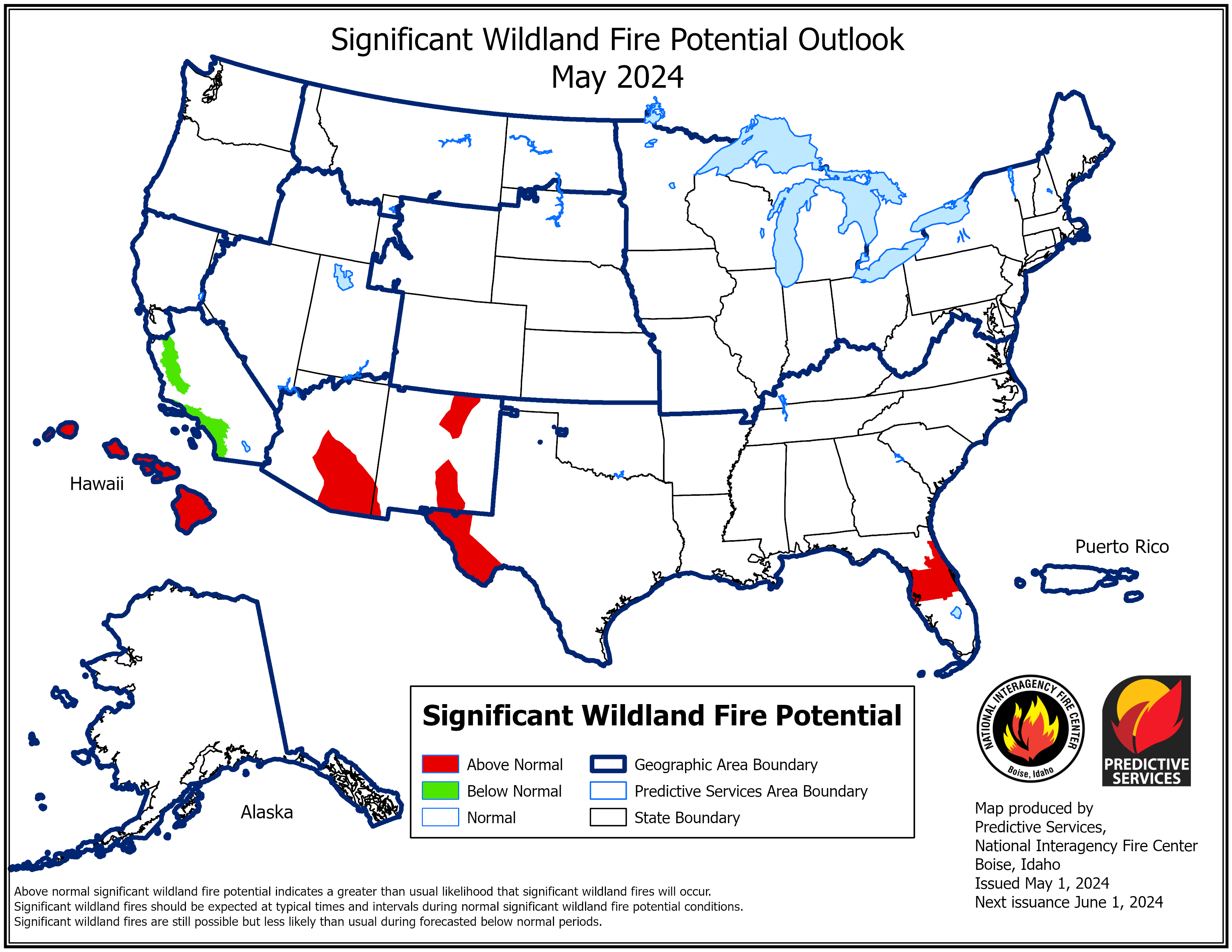
The National Interagency Fire Center’s October fire potential outlook, as NCEI summarized it, shows above-normal wildland fire potential in parts of the western Great Basin, western Great Lakes, southern Plains, Lower Mississippi Valley and Puerto Rico. The tropics were quiet in a way that also set a mark: eight named storms had formed in the Atlantic through September, but none reached hurricane strength, the latest point in a season without an Atlantic hurricane in the satellite era, which NCEI dates to 1966. NCEI’s full September report is scheduled for October 14.
This article was produced with the assistance of AI and reviewed by Morning Overview editors prior to publication.
More from Morning Overview
- Doctors warn a silent liver disease now affects one in three American adults
- The FBI told the rest of ShinyHunters to surrender after a 24-year-old was arrested
- Two passengers died at an Ohio toll plaza, and the NTSB now wants the cash lanes shut
- Long use of a common prostate pill is tied to a higher chance of glaucoma