
Most hurricanes take days to build toward their peak, but a rare few skip that slow climb and blow up almost overnight. Meteorologists call this rapid intensification, and it has produced some of the most dangerous storms ever tracked across the Atlantic and eastern Pacific. Here are nine hurricanes that exploded in strength faster than almost any storm on record.
1. Hurricane Polo (2026): The Eastern Pacific’s New Benchmark
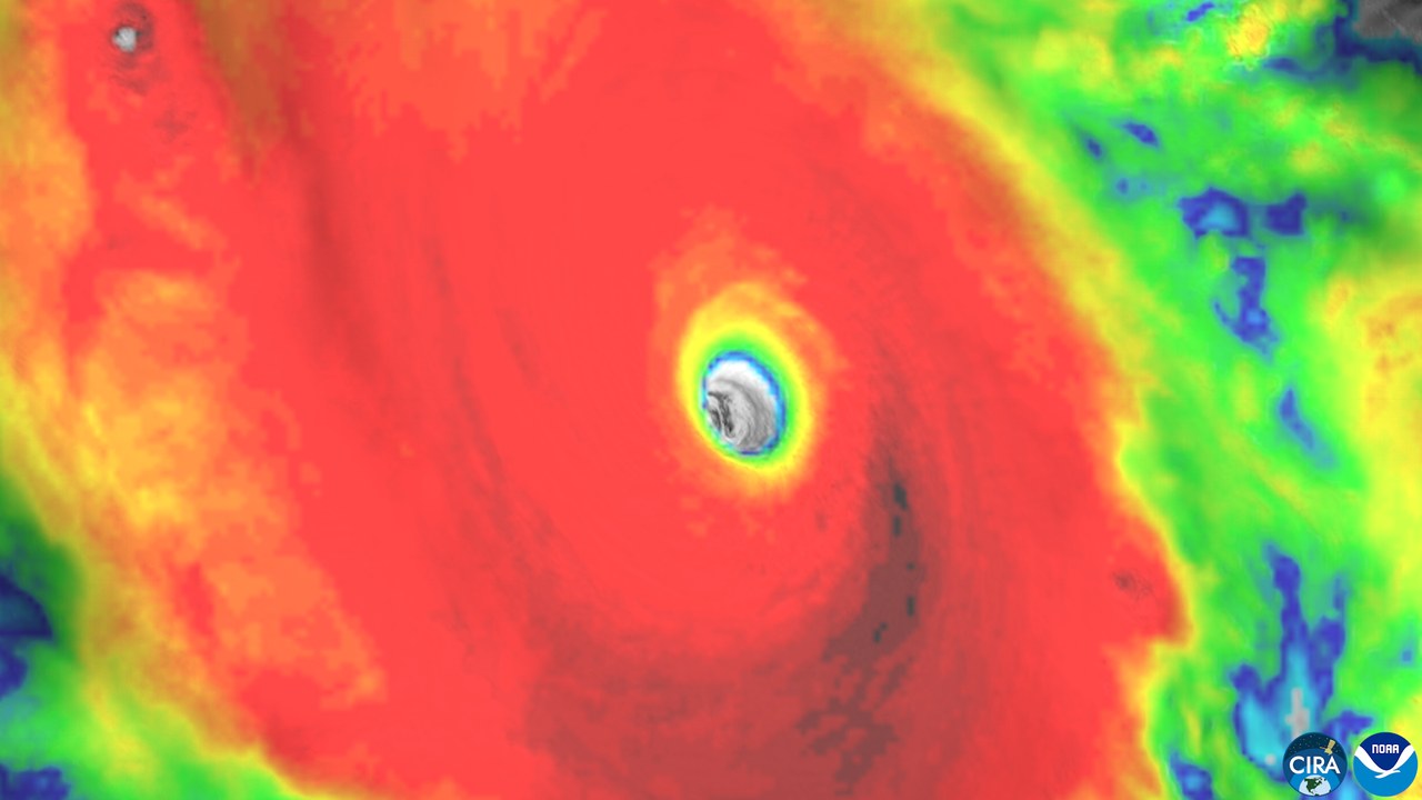
Polo’s sustained winds rocketed from 45 mph to 180 mph in roughly a day this week, while its central pressure bottomed out at an extraordinarily low 889 millibars over the eastern Pacific basin. That combination made Polo the second-strongest hurricane ever recorded in the eastern Pacific, trailing only one storm in the basin’s history.
A jump from tropical-storm strength to a top-tier hurricane in about 24 hours is the hallmark of rapid intensification, the explosive strengthening process meteorologists say has grown more common as the ocean water feeding storms keeps warming, a trend fueling several of the storms on this list. Forecasters tracking Polo in real time had only hours to revise warnings as its winds climbed.
2. Hurricane Milton (2024): A Gulf Storm’s Overnight Leap
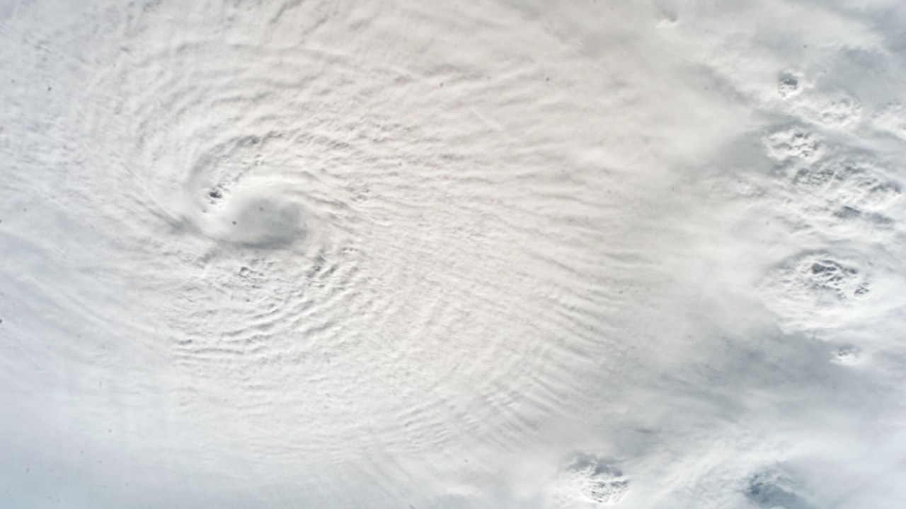
Milton’s winds jumped 95 mph in a single 24-hour stretch, exploding from a tropical storm into a catastrophic Category 5 hurricane over the Gulf of Mexico in October 2024, one of the most dramatic single-day strengthening runs ever logged in the basin.
That 95 mph gain, tracked by NOAA’s climate scientists, more than doubled the standard threshold meteorologists use to define rapid intensification, leaving coastal Florida communities a shrinking window to prepare before Milton’s landfall days later. The acceleration unfolded over unusually warm Gulf water, the same fuel source scientists cite when explaining why more storms are jumping categories almost overnight.
3. Hurricane Patricia (2015): The Western Hemisphere’s Fastest Riser
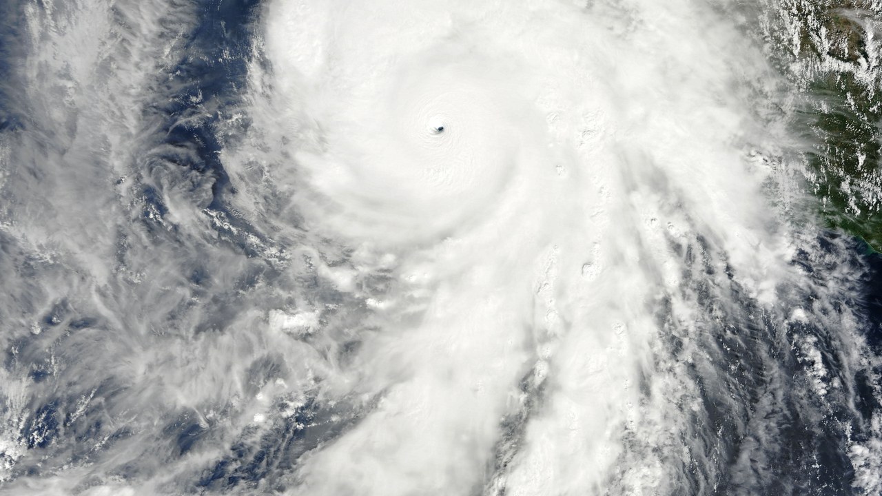
Patricia’s maximum sustained winds surged 120 mph, or roughly 190 km/h and 54 meters per second, over a single 24-hour span, a jump documented in the record of rapid intensification that makes Patricia the fastest-strengthening hurricane ever measured in the Western Hemisphere.
The storm’s explosive growth off Mexico’s Pacific coast in 2015 reshaped how forecasters model worst-case intensification scenarios, and it remains the benchmark meteorologists cite whenever a storm threatens to approach that pace. A compact, well-fueled system over near-record-warm water, Patricia outpaced nearly every forecast model built to predict it that season.
4. Hurricane Wilma (2005): The Fastest Pressure Drop on Record
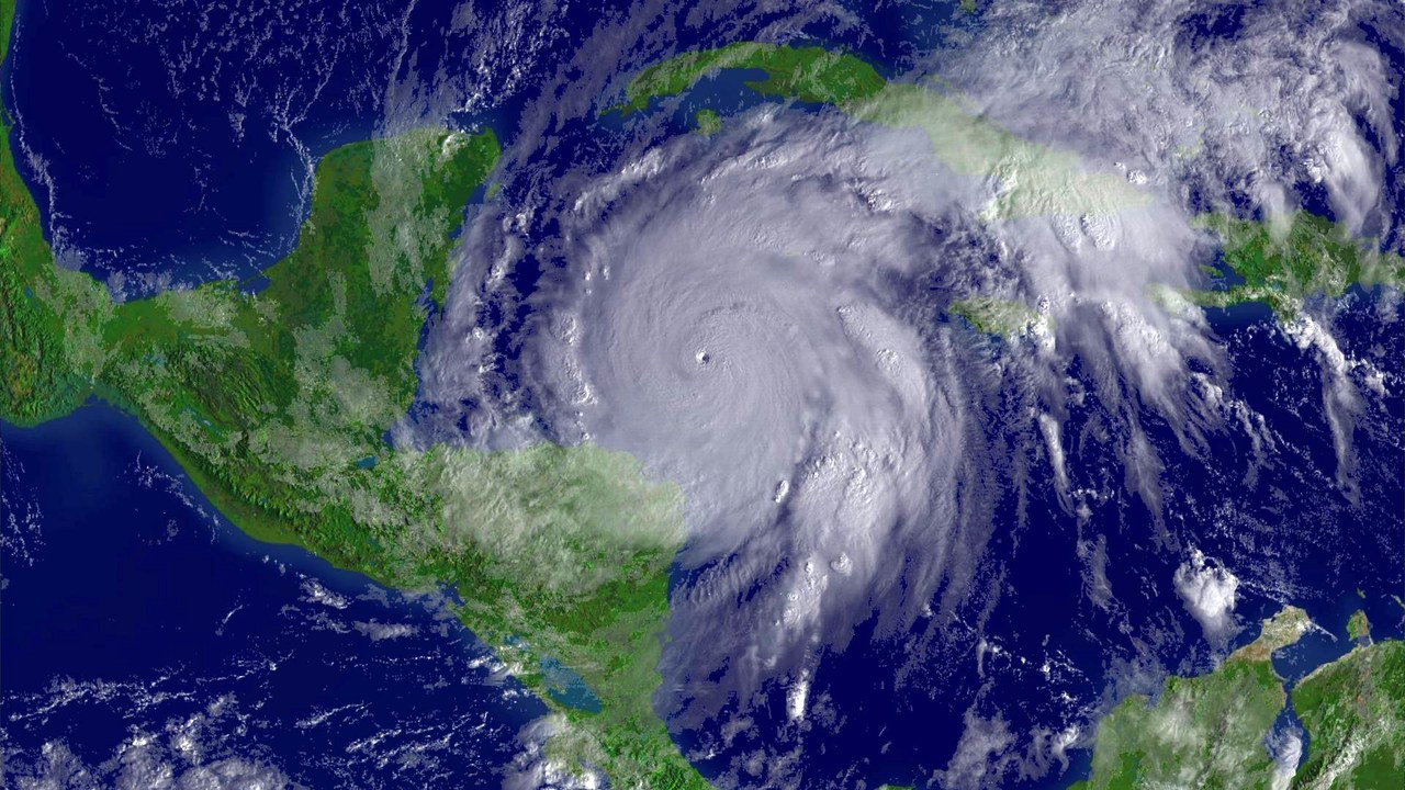
Wilma’s winds rocketed from 70 mph to 175 mph in 24 hours, while its pressure cratered by 97 millibars in that same span, the fastest one-day Atlantic pressure drop in the Atlantic hurricane record.
The plunge from 979 to 882 millibars in a single day pointed to an extraordinarily well-organized core, and Wilma still holds the Atlantic record for both the fastest tropical-storm-to-Category-5 intensification and the fastest 24-hour pressure drop, a rare case of one 2005 storm holding two separate speed records that have stood for two decades. Hurricane hunter aircraft flying through the eye that day logged readings crews described as unlike anything seen before.
5. Hurricane Erin (2025): An Atlantic Storm’s Explosive Surge
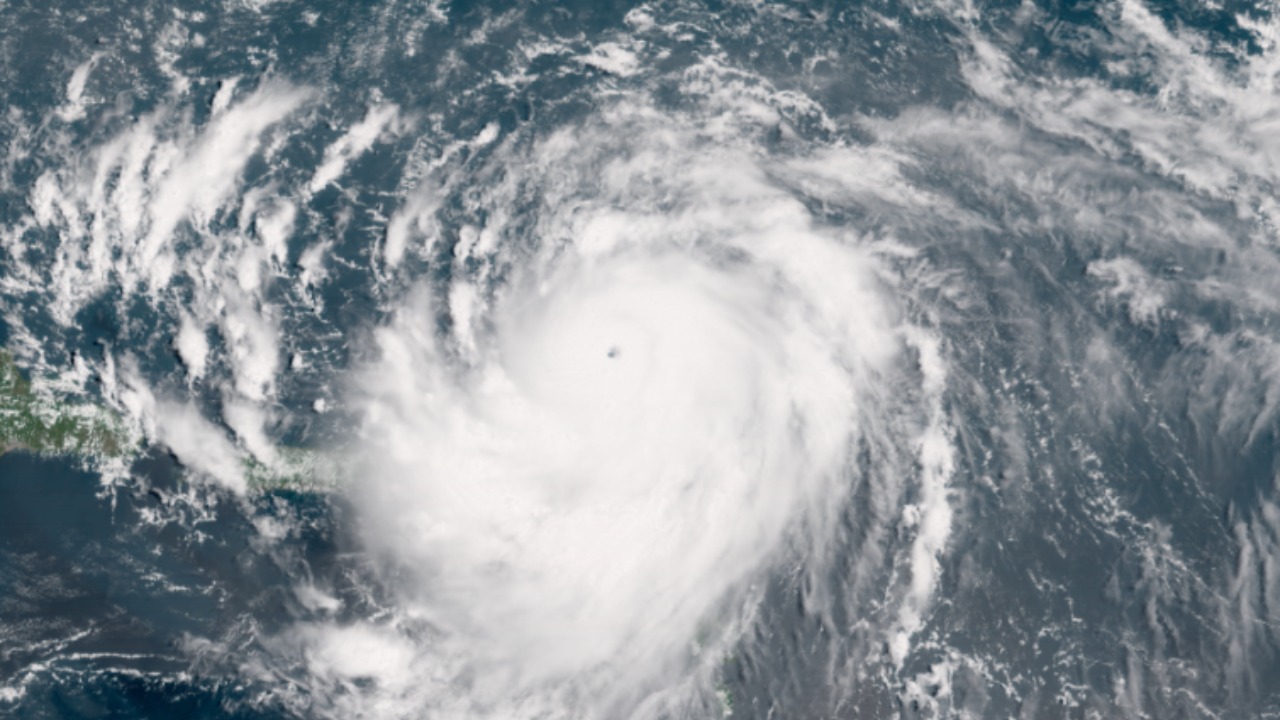
Erin’s winds jumped 85 mph in just over 24 hours as it underwent explosive rapid intensification over the open Atlantic, a strengthening streak reported in 2025.
A gain of that size in a single day is enough to carry a storm from a weak tropical system to a major hurricane, and Erin’s burst played out far from land, giving forecasters time to track how quickly its structure tightened before any coastal threat could form. Satellite loops captured the storm’s eye sharpening within hours, a visual cue meteorologists use to confirm an intensification burst is underway.
6. Hurricane Melissa (2025): A Wind Speed That Doubled in a Day
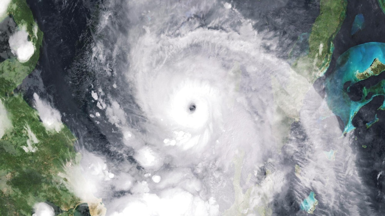
Melissa doubled its wind speed in 24 hours, exploding from a 70 mph tropical storm into a 140 mph Category 4 hurricane in 2025, according to a rapid intensification report.
Doubling maximum winds in a single day, from a weak tropical storm to a major hurricane, put Melissa among the most extreme intensification cases meteorologists have logged for the Atlantic basin, underscoring how quickly a modest system can turn into a life-threatening one. Forecast models that had projected a much slower, gradual buildup had to be revised repeatedly as Melissa’s winds kept climbing.
7. Hurricane Otis (2023): The Gust That Set a World Record
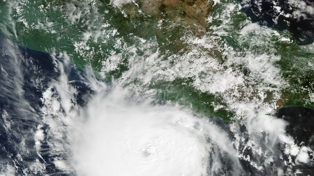
Otis intensified at a peak rate of 110 mph in 24 hours, the second-highest such rate ever recorded in the Western Hemisphere, and produced a 205 mph wind gust before slamming into Acapulco.
The storm strengthened so fast overnight that forecasters had little time to upgrade their warnings before Otis made landfall near Acapulco in 2023 as a catastrophic Category 5, leaving the resort city with far less notice than a typical hurricane approach allows. Meteorologists later called Otis one of the biggest forecasting surprises of the modern satellite era, since models had shown only a modest tropical storm the day before.
8. Hurricane Lee (2023): An 80-MPH Leap to Category 5

Lee’s maximum sustained winds reached 165 mph by 06:00 UTC on September 8, 2023, an increase of 80 mph in just 24 hours after highly favorable conditions let the storm rocket to Category 5 strength over the open Atlantic Ocean.
Lee had only become a tropical depression on September 5 and a hurricane late on September 6, so its jump to a top-tier storm unfolded in barely three days, illustrating how quickly favorable ocean and atmospheric conditions can turn a modest system into a catastrophic one far from any coastline.
9. Hurricane Felix (2007): A Two-Day Sprint to Category 5
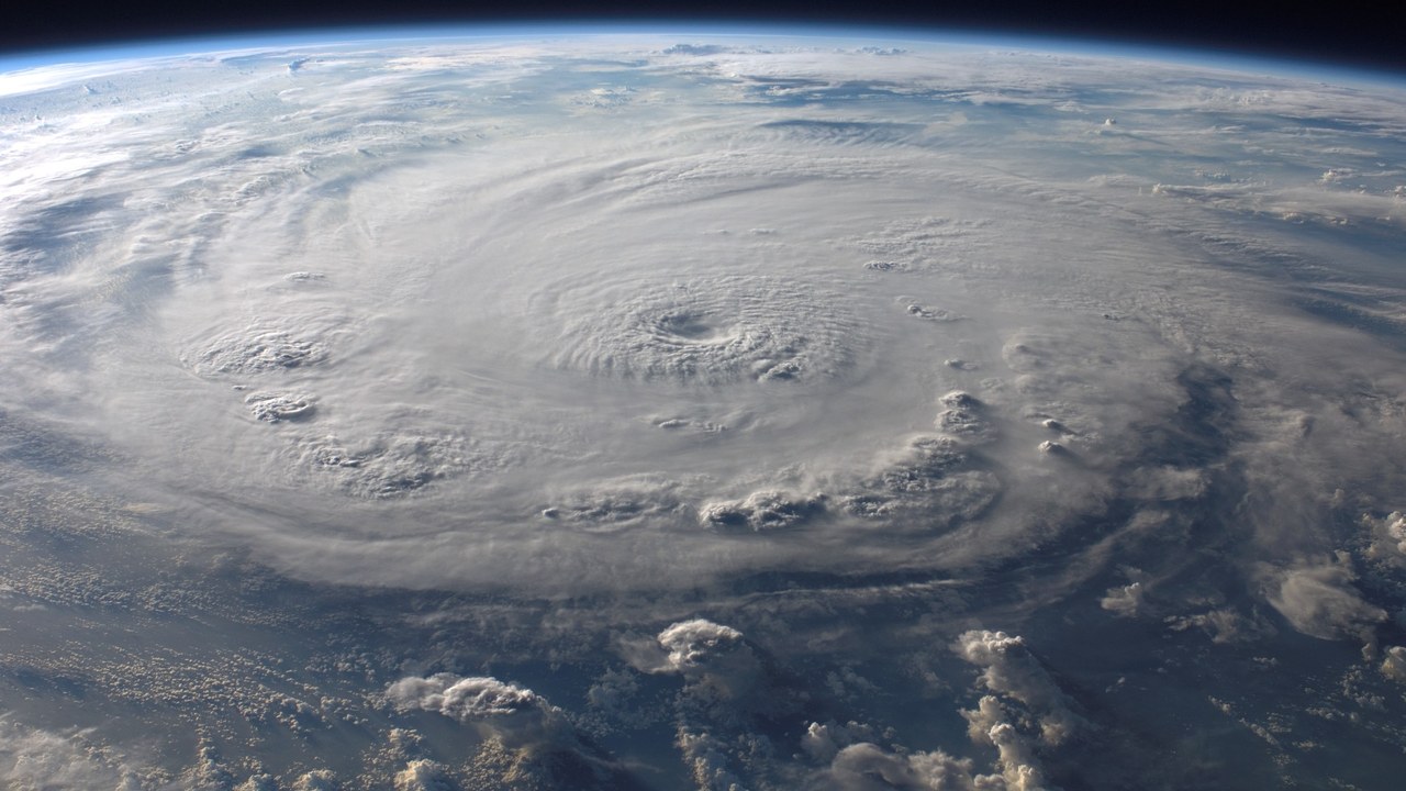
Felix went from a tropical storm early on September 1, 2007, to a Category 5 hurricane with 175 mph winds by 00:00 UTC on September 3, a two-day sprint that makes it the second-fastest-intensifying Atlantic hurricane on record, behind only Wilma two years earlier.
At one point Felix’s pressure fell at 3.4 millibars per hour, and the storm was still a Category 5 with 160 mph winds when it made landfall on Nicaragua’s Mosquito Coast, just south of the Honduras border, on September 4, one of the most extreme intensification-to-landfall cases on record.
More from Morning Overview
- A recalled pill hid a stimulant dose linked to heart attacks and death
- Four U.S. startups fired up their first small nuclear reactors, aiming to power AI data centers on-site
- Card skimmers hidden on gas pumps and ATMs are draining accounts, and here’s the tell
- Doctors warn a silent liver disease now affects one in three American adults
