
Across Hawaii, the Cascades and Alaska, the country holds dozens of volcanoes capable of reshaping the landscape, and a handful draw the steadiest attention from federal scientists. The United States Geological Survey tracks these peaks with seismometers, gas sensors and satellites, watching for the earliest hints of unrest. The following nine rank among the most closely monitored, chosen for their eruption histories and the communities living in their shadow.
1. Kilauea: Hawaii’s Restless Giant
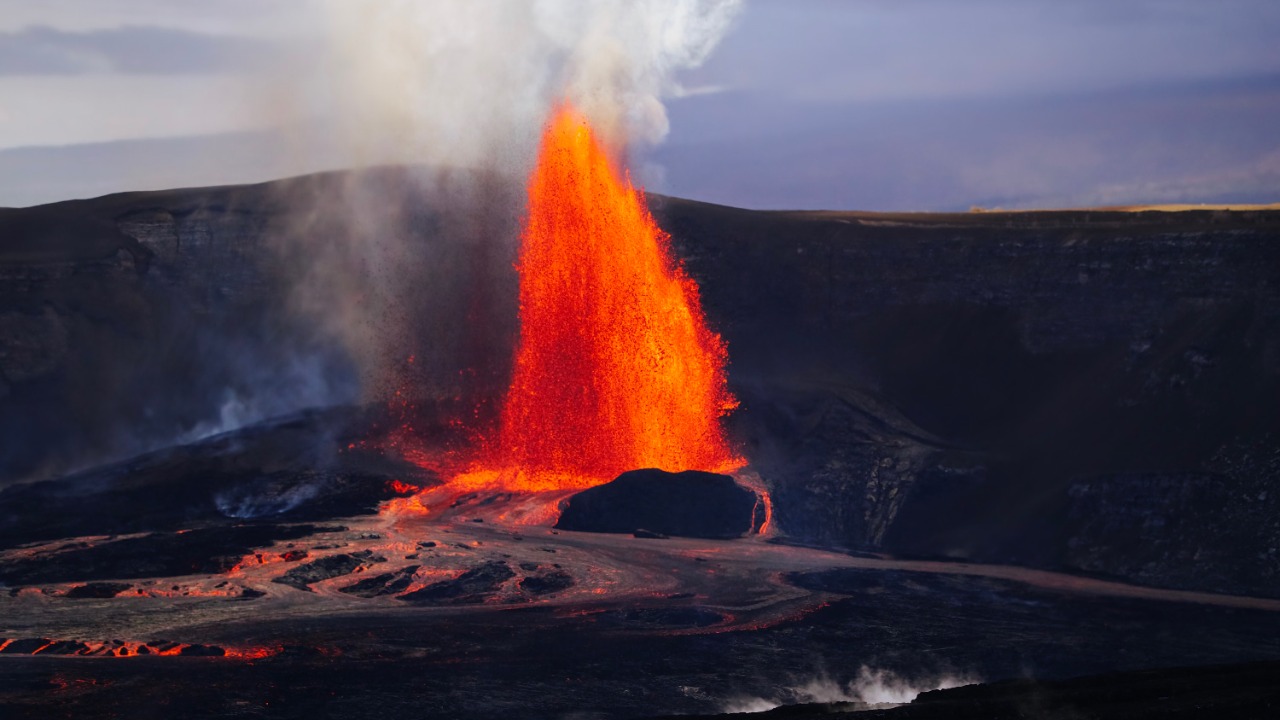
Kilauea, on Hawaii’s Big Island, ranks among the most active volcanoes on Earth, with lava returning to its summit crater during renewed activity in 2026. The Hawaiian Volcano Observatory maintains a dense network of seismometers, tiltmeters and gas sensors to track magma movement in near real time. A long eruption from 1983 to 2018 buried roads and homes before a dramatic summit collapse reshaped the landscape.
Because eruptions often begin with little warning, scientists treat continuous observation as essential for nearby towns and visitors. Hawaii Volcanoes National Park draws large crowds to the caldera, and shifting activity can force closures or evacuations. Ongoing tracking helps officials decide when to restrict access and protect the public.
2. Mauna Loa: The Largest Active Volcano
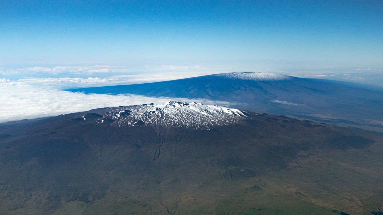
Mauna Loa, also on Hawaii’s Big Island, stands as the largest active volcano on the planet by volume, rising broadly above the surrounding land and sea. The USGS volcano profile notes that fast-moving lava flows from its slopes have historically reached populated areas within hours. A 2022 eruption, its first in nearly four decades, sent flows toward a key highway.
Roughly 200,000 people live on the island, and neighborhoods, ranchland and infrastructure sit within reach of past flow paths. Scientists track ground swelling and earthquake swarms that can precede an eruption by weeks or months. That advance signal gives emergency managers time to prepare communities well before molten rock threatens homes below.
3. Mount St. Helens: The 1980 Blast Site
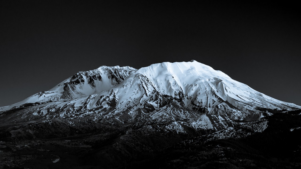
Mount St. Helens in Washington State delivered the deadliest and most economically destructive volcanic event in U.S. history when it erupted catastrophically in May 1980. The USGS record describes how the blast flattened forests for miles and killed 57 people. The mountain has remained restless since, rebuilding a lava dome during eruptions in the 1980s and again between 2004 and 2008.
Its recent history makes St. Helens a benchmark for volcano science, and the Cascades Volcano Observatory watches it continuously for renewed dome growth or gas emissions. Nearby communities in southwest Washington remain within reach of ashfall and debris flows down its river valleys. Steady surveillance provides the early warning that allows officials to limit access and safeguard residents downstream.
4. Mount Rainier: The Mudflow Menace
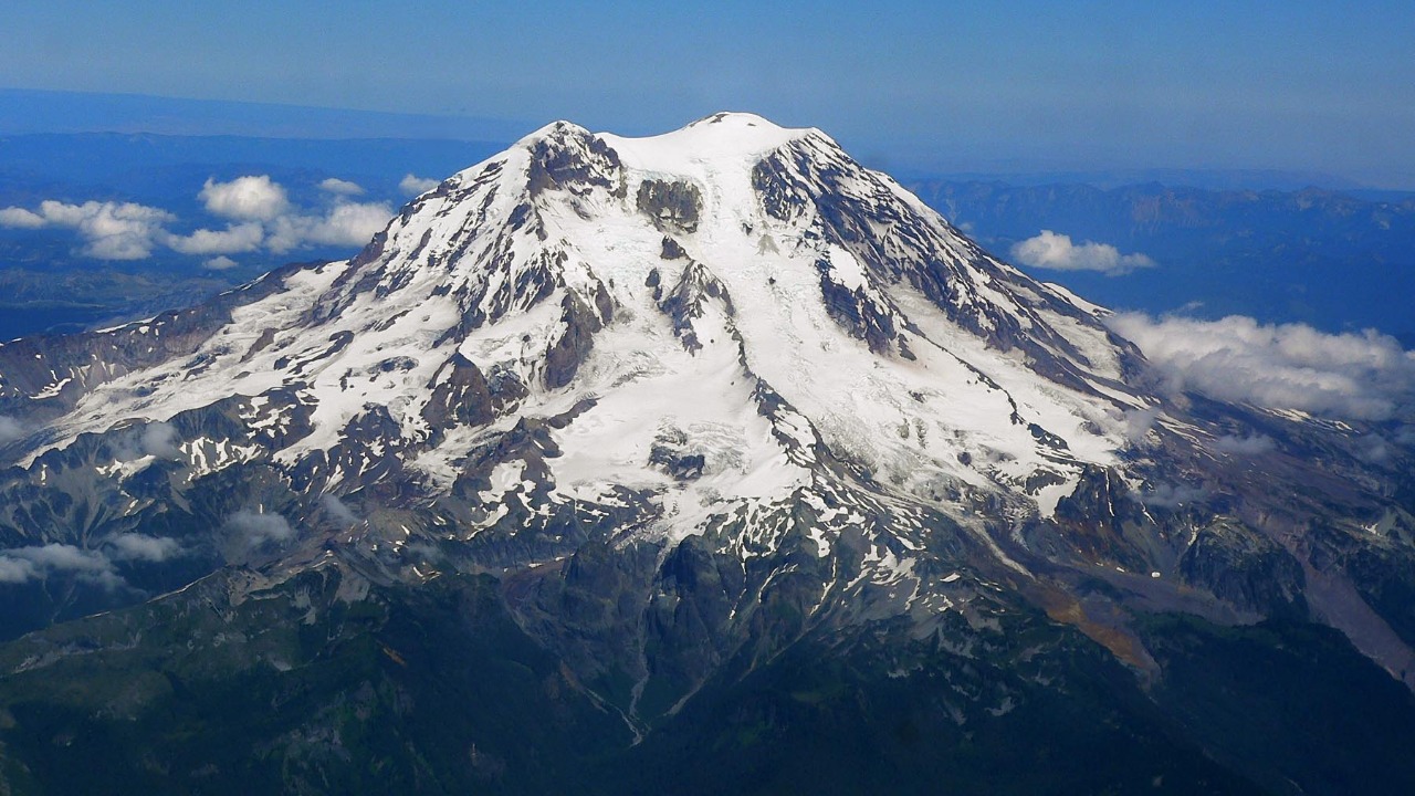
Mount Rainier towers over the Seattle-Tacoma region, and its greatest danger comes not from lava but from the ice cloaking its upper slopes. The USGS hazard assessment warns that eruptions or collapses can unleash lahars, fast-moving mudflows that race down river valleys toward populated lowlands. Such flows have buried the surrounding terrain repeatedly.
Because tens of thousands of people live on old lahar deposits, communities near the mountain have installed warning sirens and rehearse evacuation drills. Scientists monitor seismic activity and the stability of the glaciers to detect the earliest signs of a flow. The goal is to give residents precious minutes to reach higher ground.
5. Yellowstone: The Supervolcano Under Watch
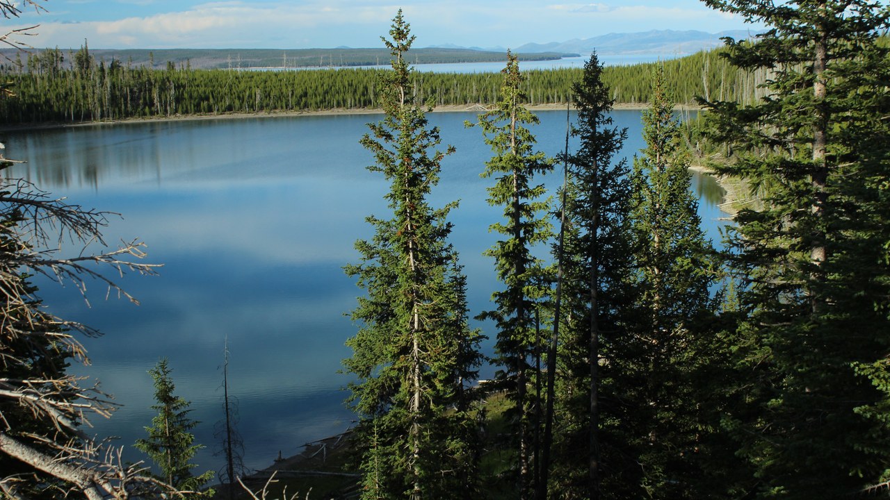
Yellowstone in Wyoming sits atop a vast volcanic system whose past super-eruptions rank among the largest known on the continent. The Yellowstone Volcano Observatory monitors the caldera around the clock, tracking thousands of small earthquakes each year along with ground movement and the park’s famous geysers and hot springs. Scientists emphasize that a catastrophic eruption is not expected anytime soon.
The far likelier hazards are the hydrothermal explosions and modest earthquakes that already occur within the park. Continuous observation lets researchers distinguish routine restlessness from anything unusual and reassure the millions of visitors who arrive each year. The extensive sensor network also advances the broader science of how large caldera systems behave, informing hazard planning at volcanoes worldwide.
6. Mount Shasta: Northern California’s Sentinel
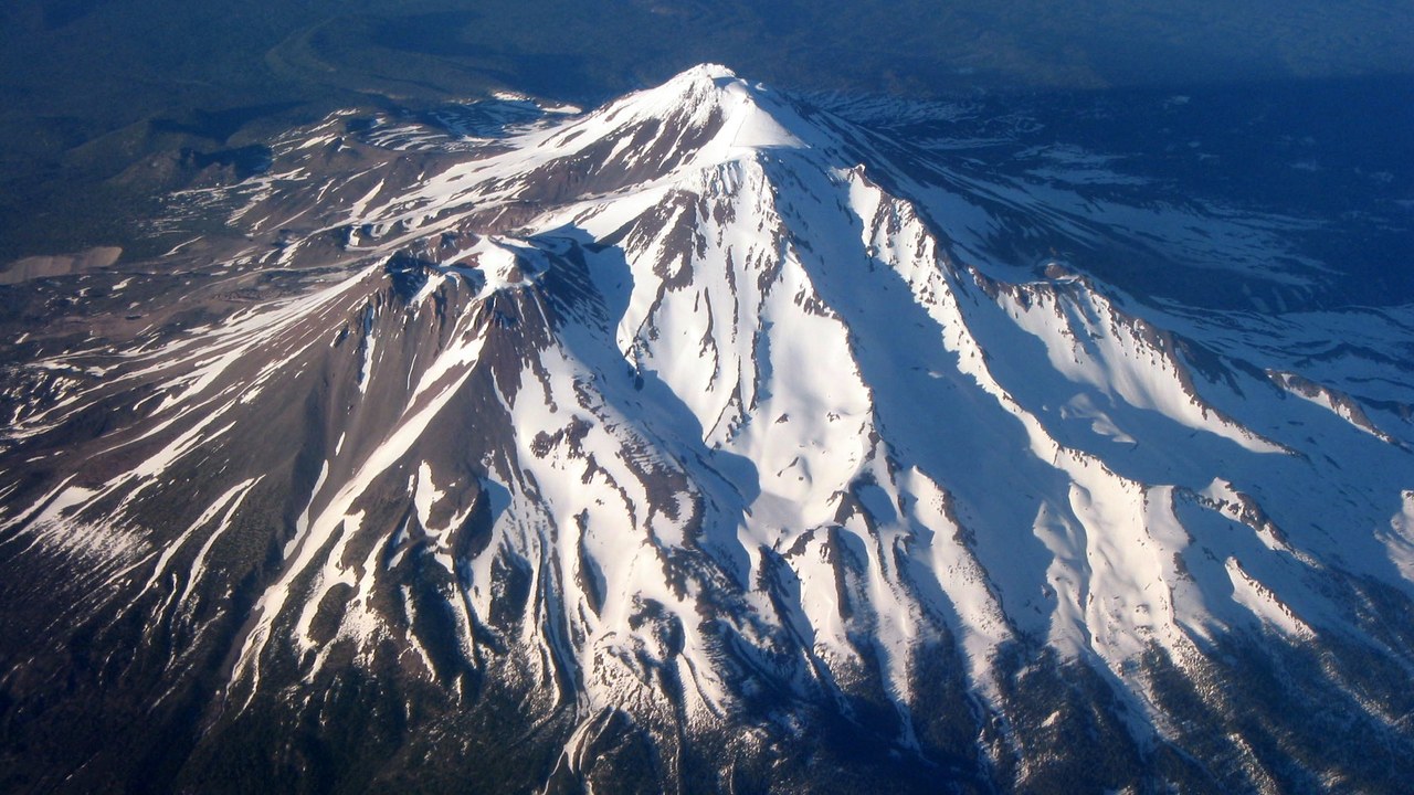
Mount Shasta dominates the skyline of northern California, a massive stratovolcano that scientists consider likely to erupt again at some point. The USGS overview notes that the peak has erupted roughly every several hundred years over recent millennia, producing lava flows, ash and debris avalanches. Its steep, glacier-clad flanks add the potential for destructive mudflows during any unrest.
Towns at the mountain’s base and along nearby highways sit within reach of those hazards, so the volcano remains part of the national monitoring effort. Researchers watch for earthquakes and ground changes that might signal magma rising beneath the surface. Long intervals between eruptions make sustained surveillance important.
7. Mount Hood: Oregon’s Tallest Peak
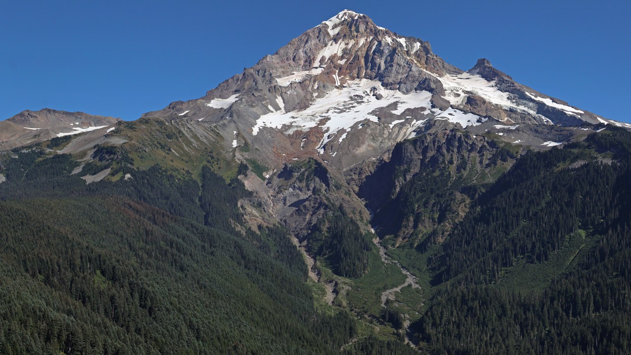
Mount Hood, the tallest mountain in Oregon, rises within sight of the Portland metropolitan area and carries a history of eruptions that keeps it under close watch. The USGS summary describes eruptive episodes over the past few thousand years that built and collapsed lava domes near its summit. The most recent activity occurred a couple of centuries ago.
Popular recreation areas, highways and river valleys lie beneath the peak, placing people and infrastructure within range of future lahars and ashfall. Scientists monitor seismic signals and hot springs for shifts that could point to reawakening magma. The mountain’s proximity to a major population center makes early detection valuable.
8. Lassen Peak: The Cascade That Last Erupted
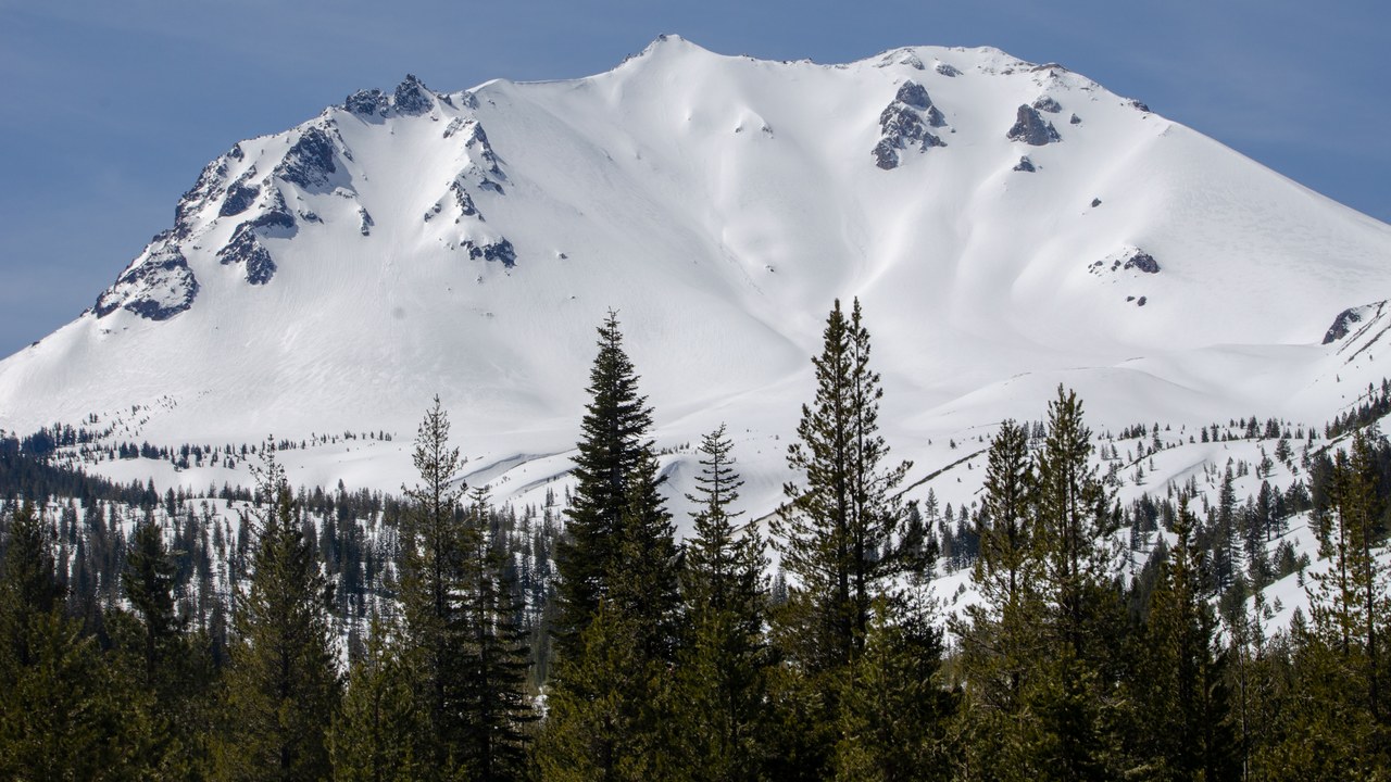
Lassen Peak in northern California was the last Cascade volcano to erupt before Mount St. Helens, with a series of eruptions beginning in 1914 and continuing for several years. The USGS profile recounts how a powerful 1915 blast sent ash miles into the sky and swept debris down the surrounding slopes. The wider volcanic center still hosts steaming vents and boiling pools.
Those active hydrothermal features, set within a national park, draw visitors and signal that heat still lingers beneath the surface. Scientists monitor earthquakes and ground changes across the area to catch any renewed unrest early. Because a full century has passed since the last eruption, ongoing observation helps ensure that the volcano’s next stirrings are recognized promptly.
9. Mount Redoubt: Alaska’s Explosive Threat
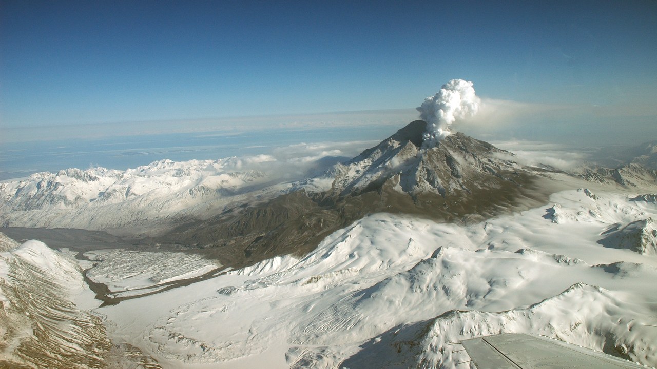
Mount Redoubt, across Cook Inlet from Anchorage, ranks among Alaska’s most closely tracked volcanoes after erupting explosively as recently as 2009. That eruption, documented in the volcano’s record, sent ash plumes tens of thousands of feet into the air and triggered flooding as melting ice raced down its flanks. An earlier eruption in 1989 also disrupted the region.
The volcano’s ash clouds pose a serious threat to aircraft along busy North Pacific flight routes, where drifting ash can damage jet engines. The Alaska Volcano Observatory monitors Redoubt continuously and issues aviation alerts when activity rises. With Anchorage and its airport downwind, timely warnings help airlines reroute flights and protect communities from ashfall during periods of unrest.
More from Morning Overview
- The FTC is warning about a scam quietly draining thousands from victims
- The NSA is again telling phone owners to switch off one location setting
- A handful of car transmissions are so tough mechanics say they almost never fail
- A handful of SUVs keep hitting 300,000 miles, and they share one engine trait
