
Storm clouds can look similar from a distance even when their structure, location, and meaning are very different. Misidentifying a formation can distract from official warnings or create confidence where only trained observation belongs. Here are five storm formations whose defining features help explain why quick visual guesses can go wrong.
1. Shelf cloud: The Leading Edge, Not the Rotating Base
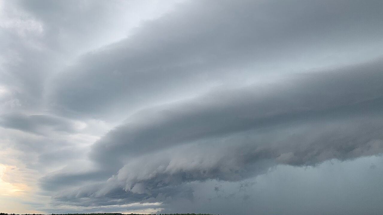
A shelf cloud is the broad, often dramatic formation along a storm’s leading edge, where outflow spreads away from the thunderstorm. Its low appearance and dark underside can resemble a cloud lowering associated with rotation, especially when the structure fills much of the horizon. The Weather Service specifically distinguishes this advancing cloud from a wall cloud beneath an updraft.
The important clue is how the formation relates to the larger storm, not whether it looks frightening in one photograph. A shelf cloud is commonly wide and horizontal, while its arrival can accompany strong, gusty winds. Visual recognition should never override a warning or delay shelter, because cloud shape alone cannot establish the full hazard at a location. The distinction is most useful for understanding storm structure and making a clearer report, not for declaring conditions safe.
2. Scud cloud: Ragged Fragments That Mimic Rotation
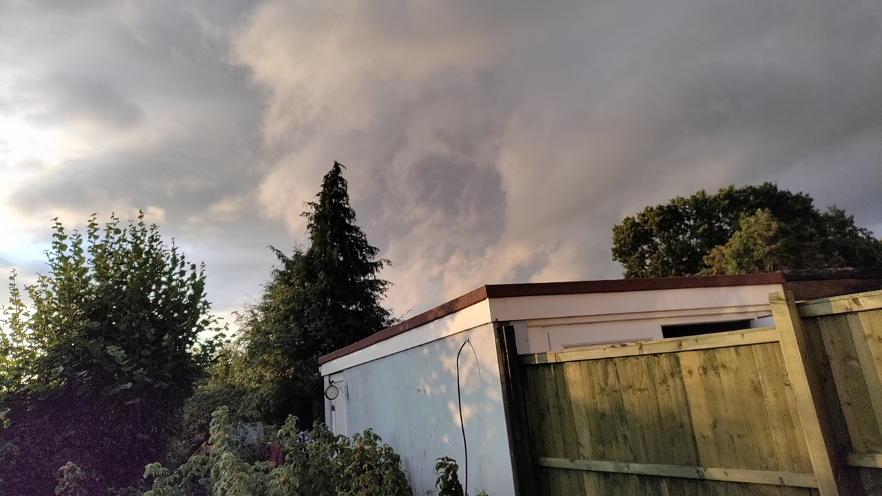
Scud clouds are small, ragged cloud fragments that sit low in moist air around fronts and thunderstorm outflow. Their torn edges and rapid motion can resemble a lowering attached to the storm base, especially when rain or distance hides the wider structure. Unlike a wall cloud, scud is generally detached from the main cloud base and does not display organized, persistent rotation.
That distinction is difficult to judge from a single glance because turbulent wind can reshape the fragments quickly. Apparent vertical motion may look like development even when the cloud is simply moving through outflow. Trained spotters watch its connection to the storm, persistence, and rotation before applying a label, while still following official warnings. Scud matters precisely because it is such a convincing lookalike: identifying it correctly prevents an alarming silhouette from becoming an unsupported tornado report.
3. Funnel cloud: Rotation Without Ground Contact
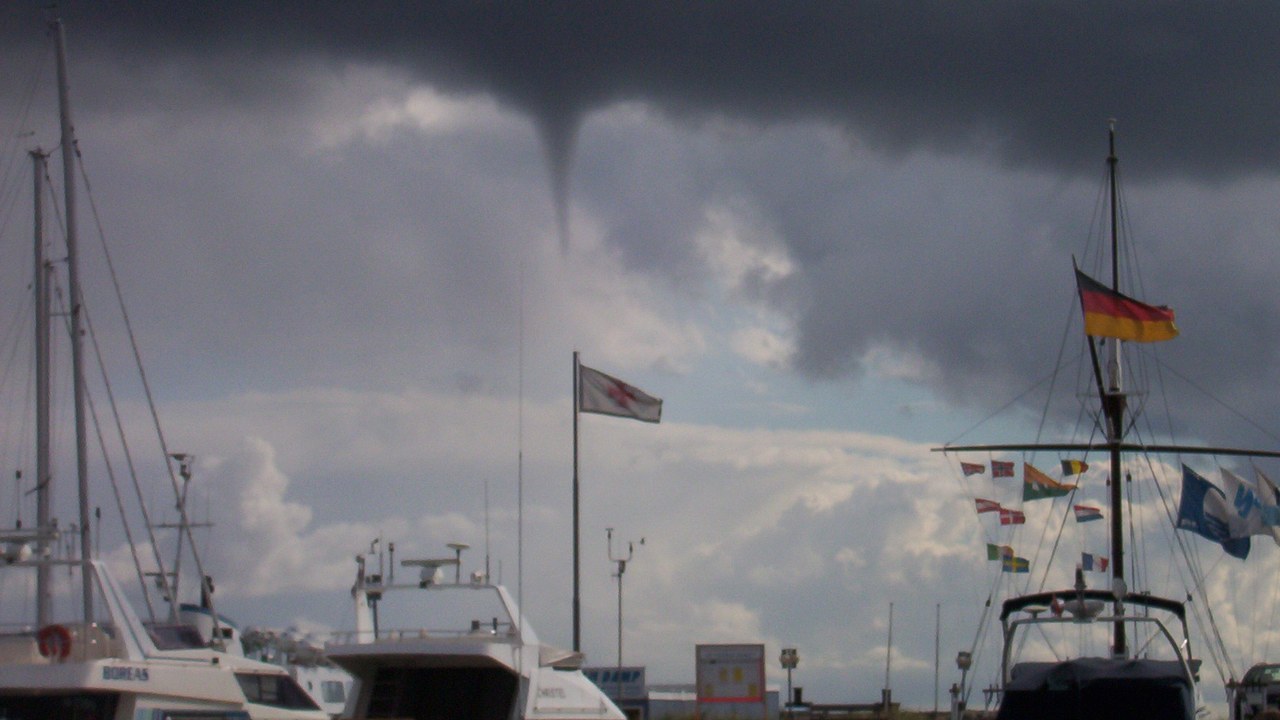
A funnel cloud is a visible, tapering condensation feature extending downward from a cloud, and official spotter reporting guidance separates it from rotating scud and other lookalikes. The visible funnel does not need to extend all the way to the ground. That incomplete shape is one reason distant observers can disagree about whether they are seeing organized rotation, an unrelated cloud fragment, or a tornado.
A funnel should be reported using clear location and movement details rather than an exaggerated label. Ground contact changes the classification, but debris or spray may reveal a circulation even when condensation is not continuous from cloud to surface. That makes the bottom of the visible funnel an unreliable boundary for the entire hazard. The safest interpretation comes from combining visual evidence with warnings and trained assessment, while avoiding the assumption that a narrow lowering is harmless because it appears suspended.
4. Waterspout: A Tornado-Like Column Over Water
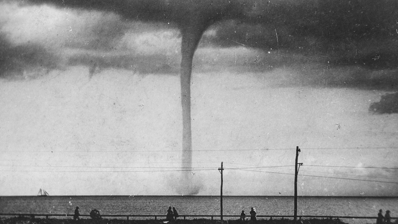
A waterspout is a tornado-like circulation over water, often marked by a condensation funnel and spray at the surface. The water setting is the defining visual context, but distance can make a waterspout look like a funnel suspended above the horizon. Rain curtains, haze, and shoreline perspective can also hide the lower portion that confirms contact with the surface.
Waterspouts are not harmless scenery simply because they form away from land. They can threaten boats and may move toward shore, while visibility over open water can make speed and distance difficult to judge. The Weather Service distinguishes waterspout types and provides warnings when conditions warrant. Observers should rely on those alerts and move away from the circulation rather than trying to determine strength from appearance. A thin column can still represent an organized rotating hazard.
5. Mammatus cloud: Pouches That Look More Ominous Than They Explain
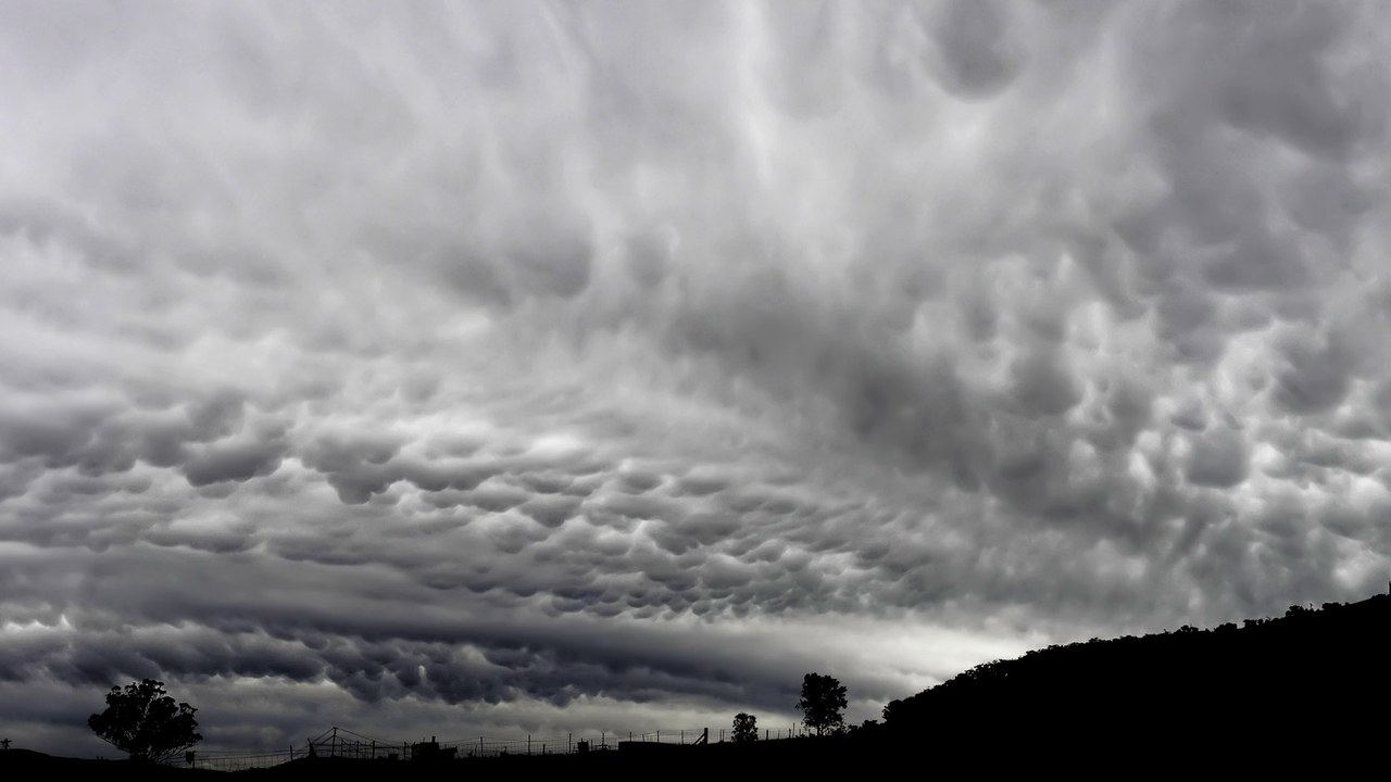
Mammatus clouds are the distinctive pouch-like formations hanging from the underside of a cloud layer. Their rounded lobes can cover a large part of the sky and take on intense color near sunrise or sunset. That dramatic texture often makes them look like a direct signal that a tornado or other severe event is about to occur at the viewing location.
The appearance identifies a cloud feature, not a complete diagnosis of the storm below it. Mammatus can occur with powerful thunderstorms, but the pouches themselves do not show rotation or pinpoint where the most dangerous weather is happening. Their practical value is recognition: they should not be confused with a wall cloud, funnel, or lowering that has a different relationship to the storm. Official warnings and radar-based analysis remain more important than the visual drama of the cloud deck.
This article was produced with the assistance of AI and reviewed by Morning Overview editors prior to publication.
More from Morning Overview
- A Colorado wildfire has exploded past 87,000 acres with no containment
- A wildfire near Ouray swelled past 18,000 acres, putting Colorado towns on alert
- The Pentagon’s newest UFO files describe a fish-scaled, potato-shaped object on camera
- Scientists spotted a rare tusked whale alive at sea for the first time, then fired a crossbow at it.
