
Volcano alert levels change quickly, and the USGS keeps a running tally of which American peaks are quiet, restless or erupting. This list moves from Alaska to Hawaii to the Cascades, covering the current status or the threat ranking for each. Here are twelve volcanoes worth knowing, starting with one that has just stopped fountaining.
Save more, waste less: The Cool Down’s newsletter sends smart, simple changes that help you and the planet in your everyday life.
We may earn a commission if you sign up.
1. Kilauea: Paused, Not Finished
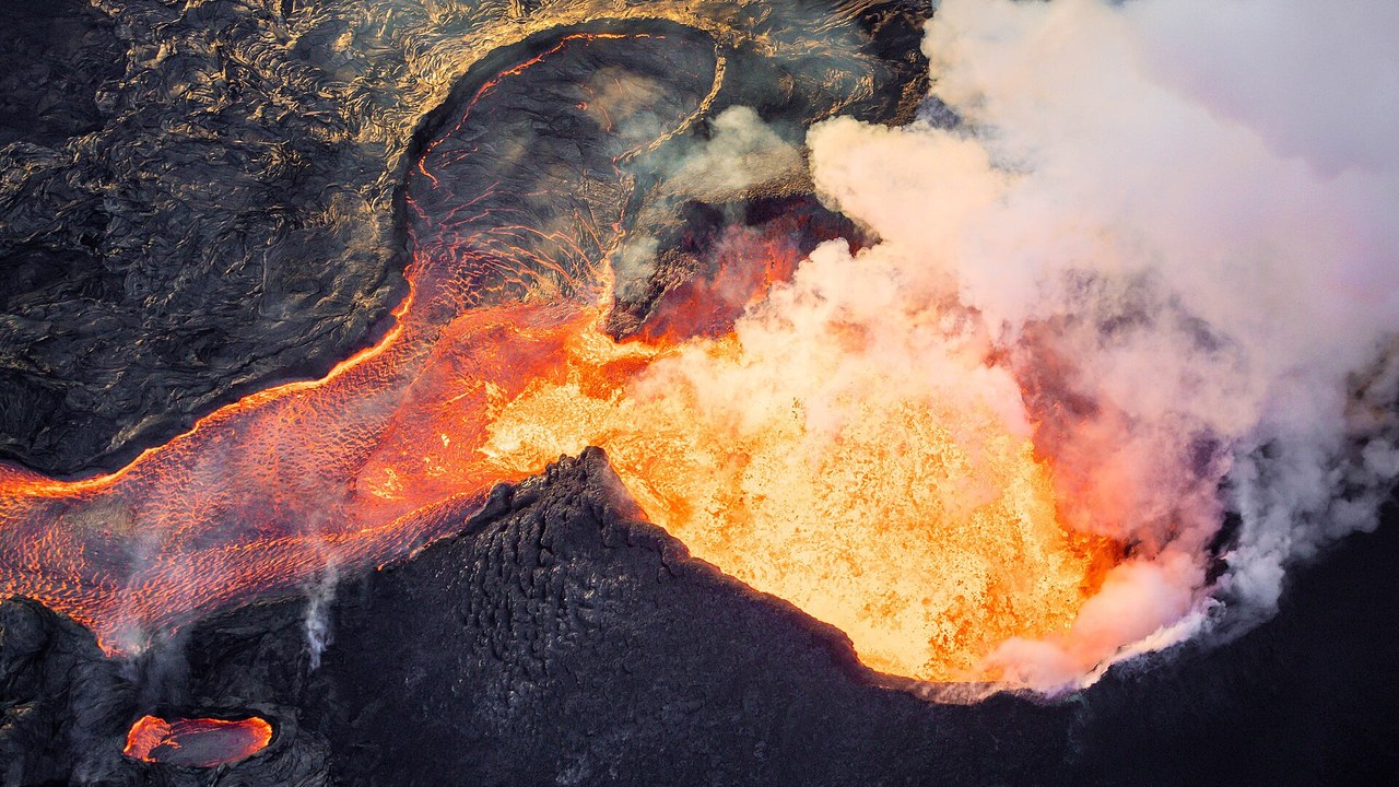
Kilauea sits at alert level ADVISORY and aviation color YELLOW in the latest the USGS volcano updates page, with the Halemaumau summit eruption paused after episode 55 fountaining ended on October 17. The wording matters: the agency calls it a pause, not an end to the eruption.
Residents and visitors in Hawaii should treat the quiet as a gap between fountaining episodes rather than a conclusion. Status can change as the observatory reads ground deformation and gas output, so the current USGS bulletin remains the reference point for anyone planning around the summit.
2. Great Sitkin: Slow Lava in the Aleutians
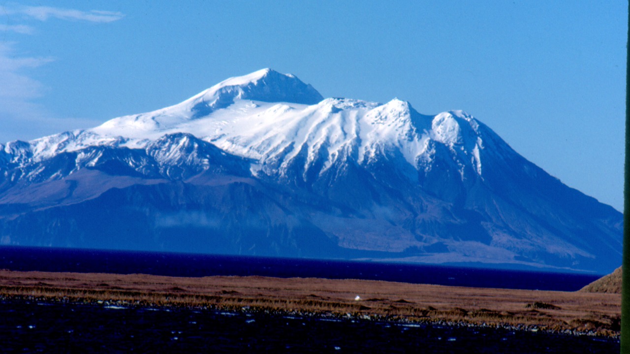
Great Sitkin, in the Aleutian Islands, holds at WATCH with aviation color ORANGE, according to the the USGS alert listings. Lava continues to ooze slowly into the summit crater rather than erupting explosively, which is why the level sits below the highest tier while still demanding close monitoring.
Remote location keeps the human exposure low, yet ash from even a modest explosion can threaten aircraft on busy North Pacific routes. That aviation risk explains the orange color code, and it is the reason observers track this island volcano so closely.
3. Mount Shishaldin: Unrest on Unimak Island
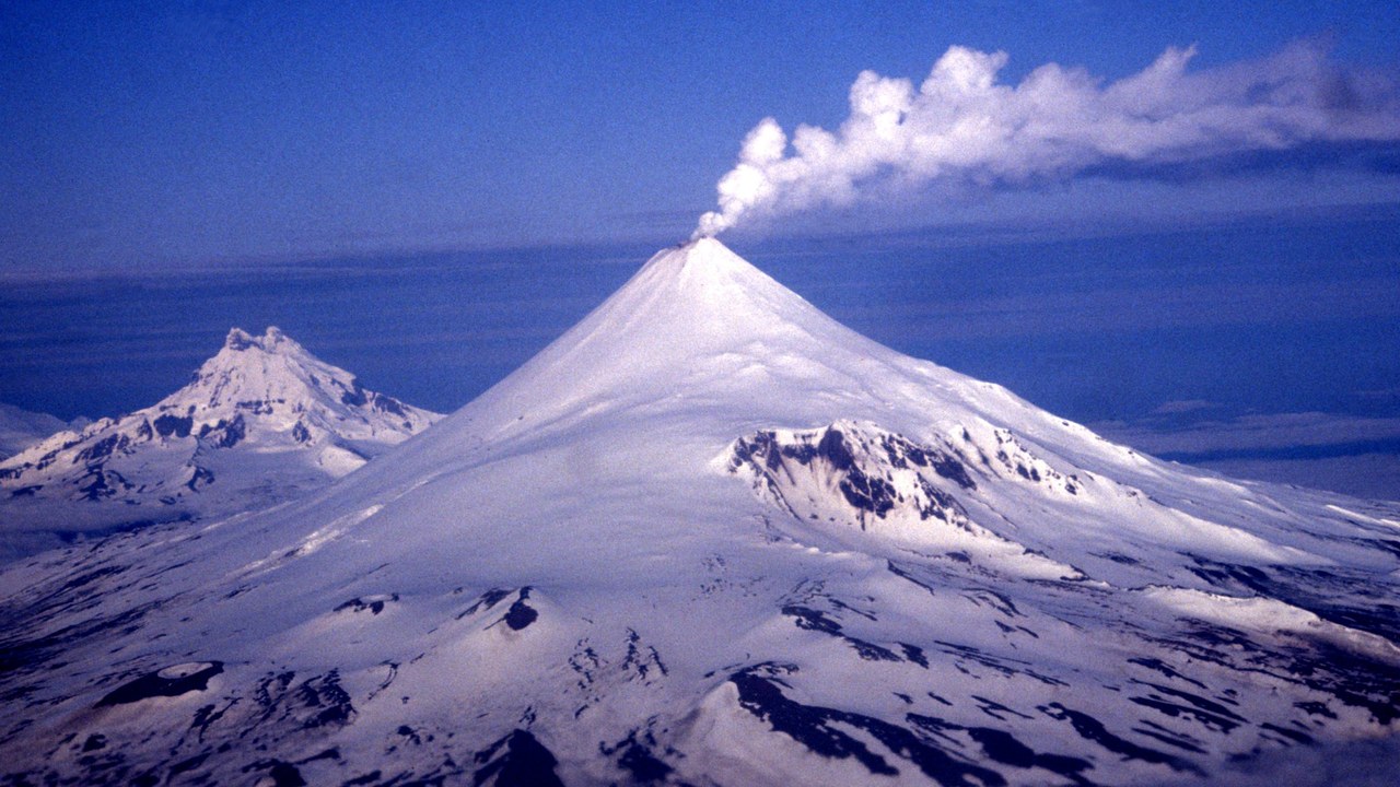
Shishaldin, on Unimak Island, is listed at ADVISORY with aviation color YELLOW in the the USGS volcano updates, reflecting low-level unrest that is still continuing. The status sits one step below the WATCH level assigned to Great Sitkin, so scientists see elevated activity above background but no imminent escalation.
An advisory is a prompt for vigilance rather than alarm. The yellow code simply tells pilots and nearby communities that the volcano is being watched for any change in its behavior.
4. Yellowstone Caldera: Quiet Under the Park
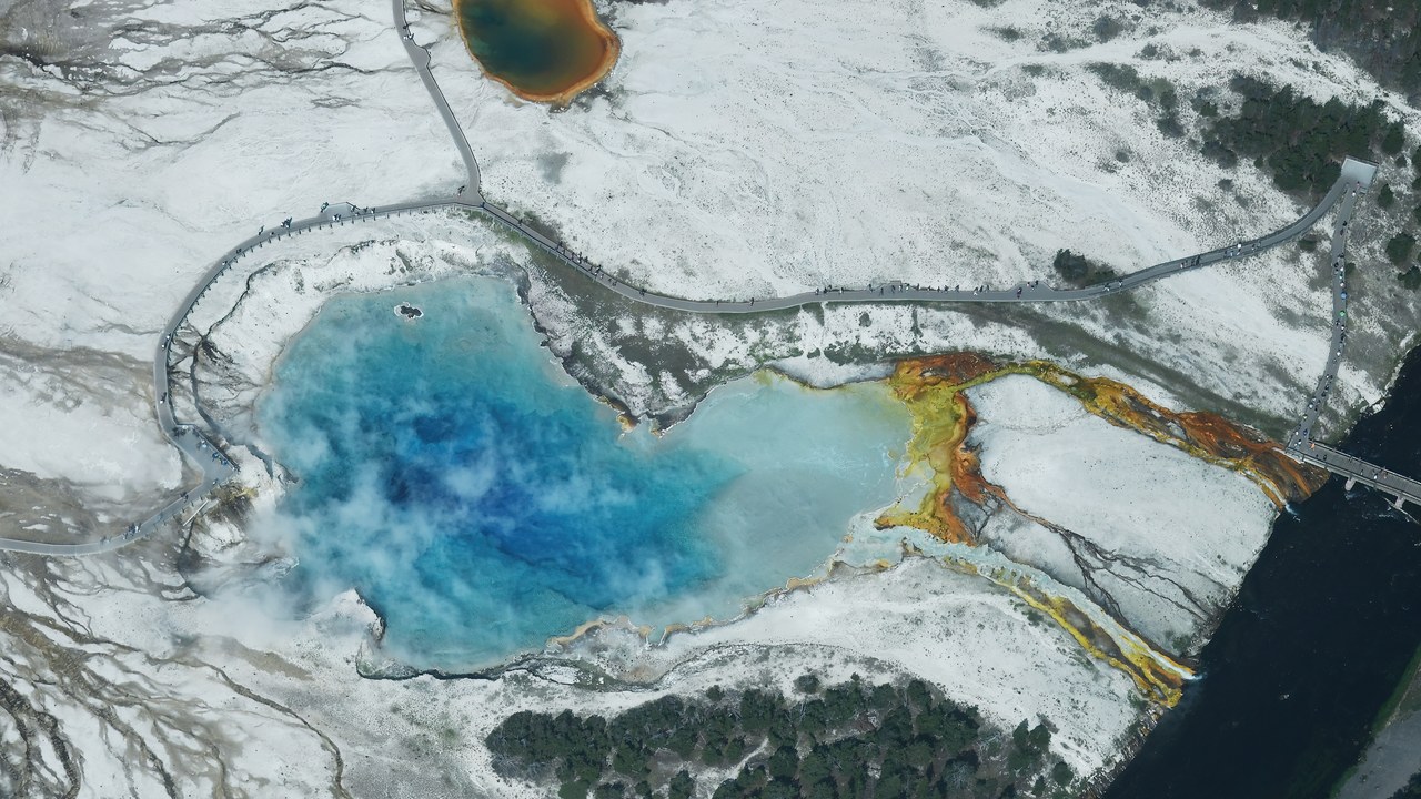
The the Yellowstone Volcano Observatory listing puts the Yellowstone caldera at alert level NORMAL and aviation color GREEN, the lowest tier on the scale. That is the baseline status for a volcanic system that is monitored continuously, even though the park is famous for geysers and hot springs.
Visitors often equate the thermal features with imminent danger, but the green code states otherwise. The caldera appears on watch lists because of its sheer scale and the instruments pointed at it, not because any eruption is expected in the near term.
5. Mount Rainier: Looming Over Seattle
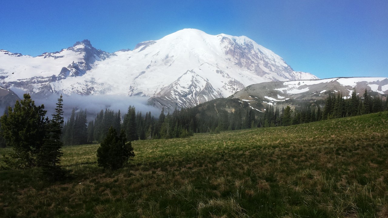
Rainier ranks third on the USGS very-high-threat list, according to the Smithsonian ranking of dangerous volcanoes. The peak stands about 59 miles from Seattle and poses a hazard to roughly 300,000 people, the most of any volcano on that list.
The danger is as much about geography as about eruption odds. Dense suburbs sit in valleys draining the mountain, so any lahar or ash event would reach a large population quickly. Preparedness planning in Washington state centers on that proximity.
6. Mount St. Helens: The 1980 Benchmark
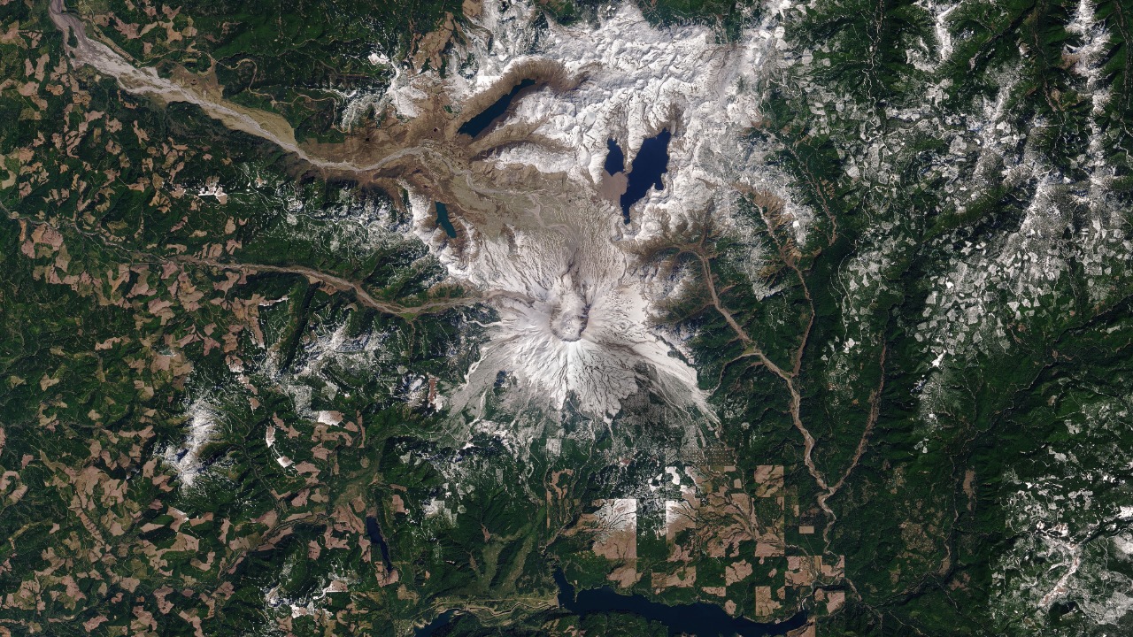
St. Helens is second on the USGS very-high-threat list, as laid out in the Smithsonian threat list. Its 1980 eruption killed 57 people in the Washington Cascades.
The mountain became a template for how scientists study and warn about Cascade volcanoes. Its high ranking reflects both a record of explosive behavior and the monitoring network now built around the crater, which keeps close watch on any change in seismic or gas signals.
7. Mount Shasta: Fifth Among the Dangerous
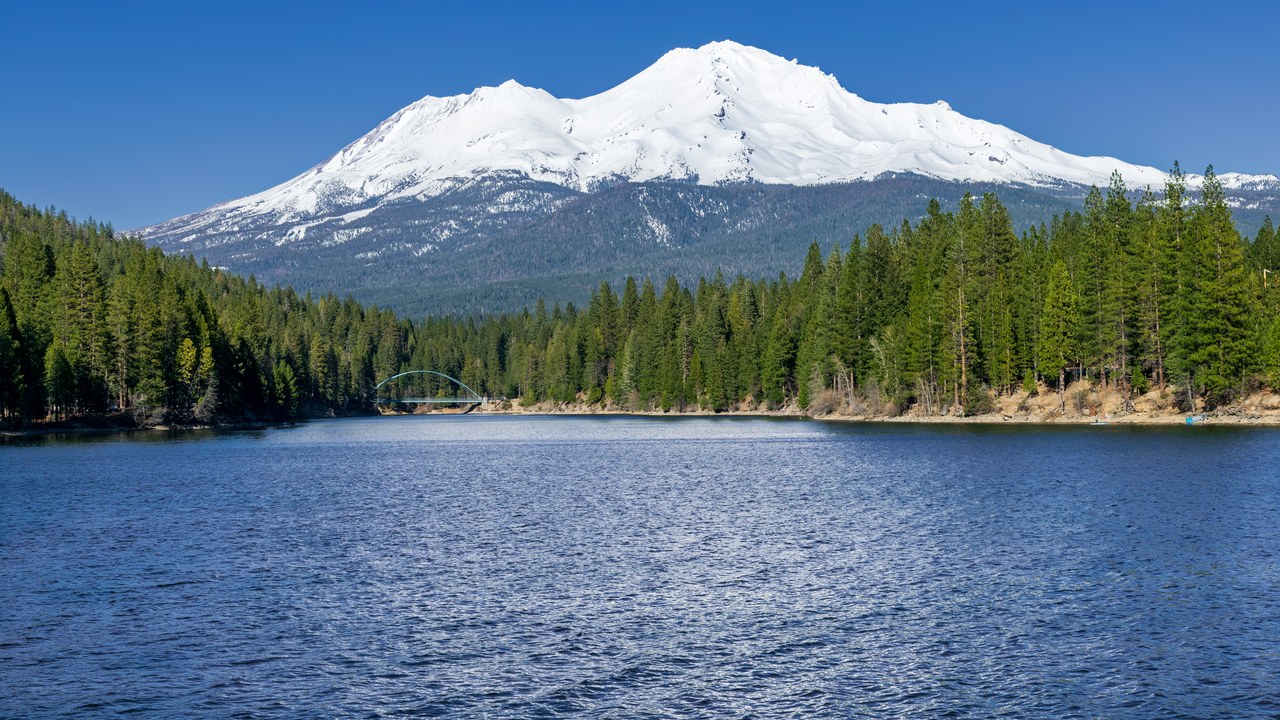
Shasta is fifth of the 18 American volcanoes the USGS rates a very high threat, as reported in the Smithsonian ranking. The snow-covered peak in northern California is one of the largest stratovolcanoes in the Cascade chain.
Ranking fifth places it ahead of several better-known peaks in the same range. The threat score combines past eruptive behavior with the people and infrastructure that lie downslope, so a quiet mountain can still carry a high designation without showing any current unrest.
8. Mount Hood: Portland’s Skyline Peak
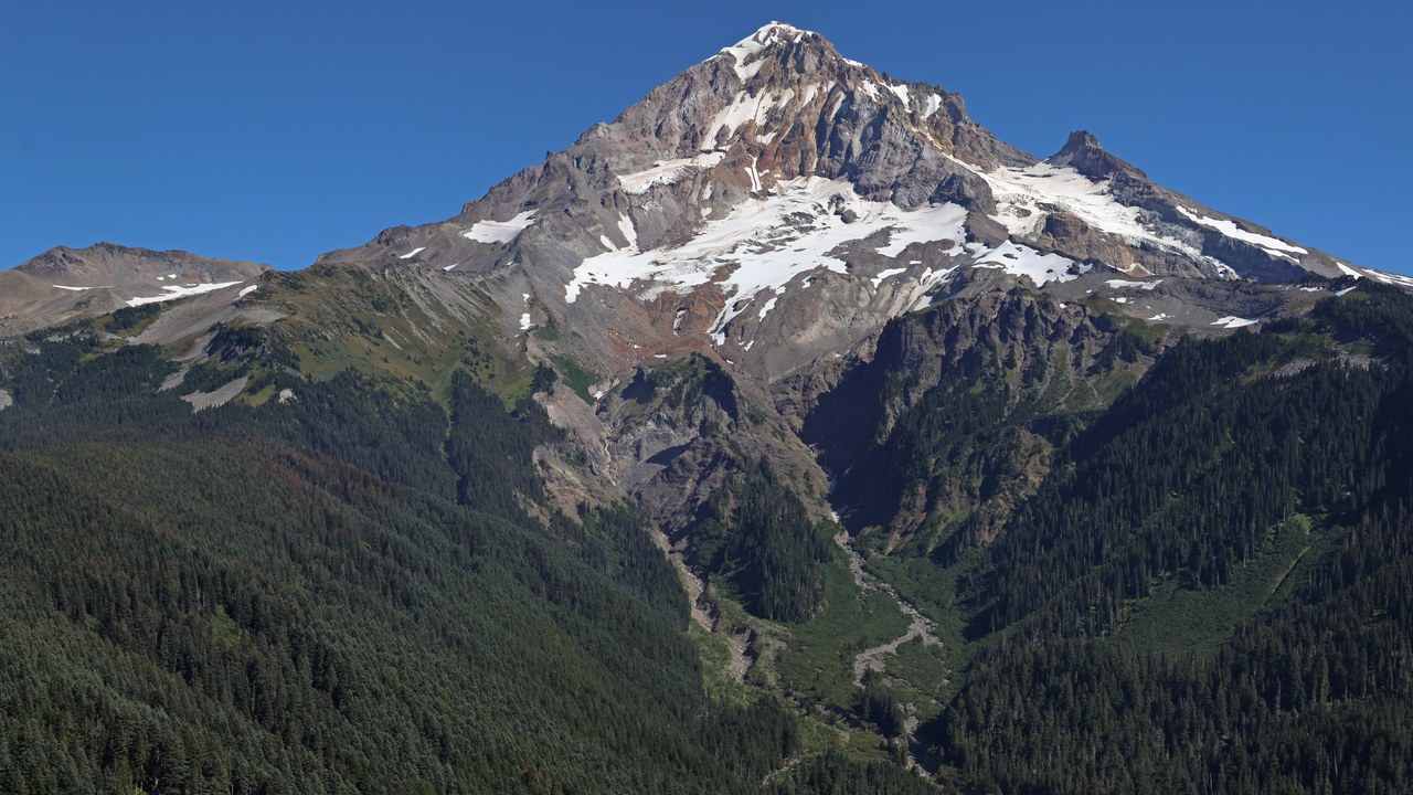
Hood, the peak on Portland’s skyline, is sixth on the USGS very-high-threat ranking, per the USGS threat ranking summarized by Smithsonian. It is among the most recognizable summits in Oregon and the most visible volcano from the state’s largest city.
The ranking weighs the population and infrastructure within reach of potential lahars and ash fall, not only the odds of an eruption. For Portland-area residents, that means a mountain admired daily sits on the same national list as far more restless neighbors.
9. Mauna Loa: Earth’s Bulkiest Volcano
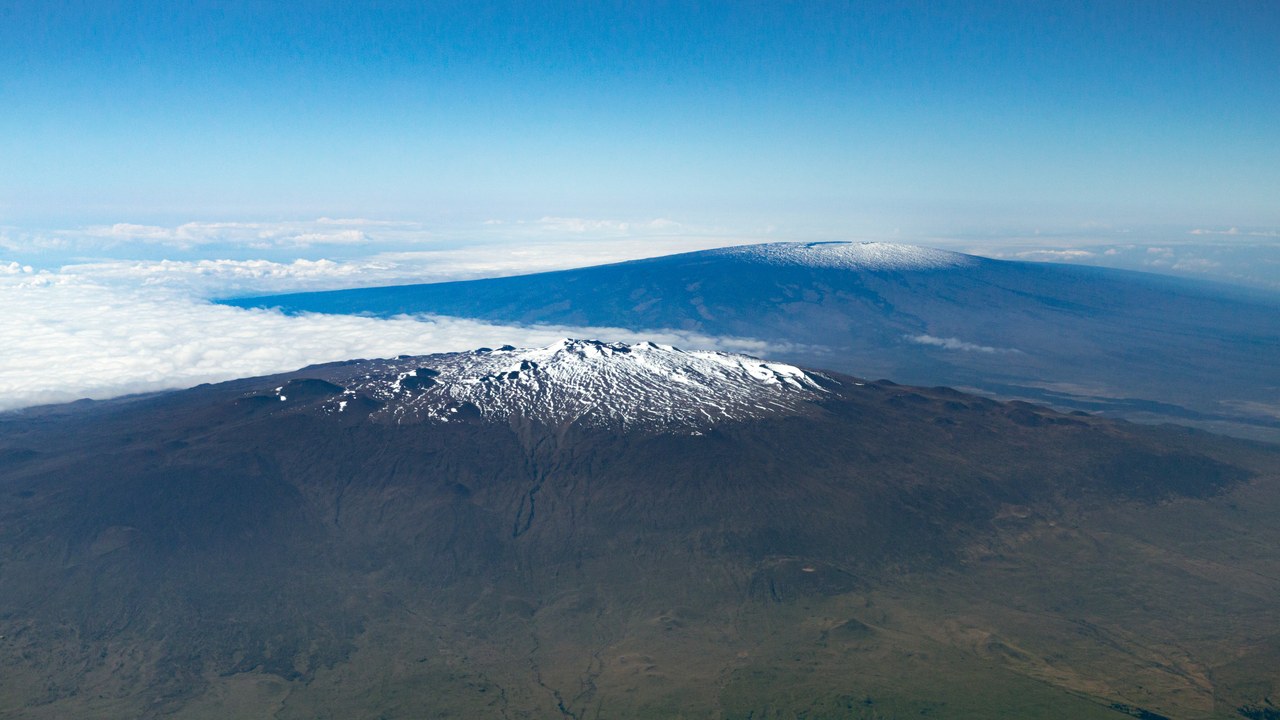
Mauna Loa rises 13,679 feet and is described as the bulkiest volcano on Earth, according to the the Wikipedia list of US volcanoes. It last erupted in 2022, ending a long quiet interval for the Hawaii Island giant.
Since the volcano sits on the same island as Kilauea, residents there live between two of the most closely watched volcanoes in the country, and the 2022 eruption showed how quickly a long dormant giant can return to the headlines.
10. Mount Redoubt: Across the Inlet from Anchorage
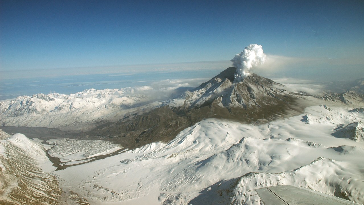
Redoubt stands 10,197 feet high across Cook Inlet from Anchorage, and it last erupted in 2009, based on the the Wikipedia volcano list. The Alaska peak ranks among the best-known volcanoes in the Aleutian arc.
Proximity to the state’s largest city and to busy flight paths gives even a moderate eruption outsized consequences, since ash can disrupt aviation and local operations. That exposure is why Redoubt gets steady attention despite years of quiet since its latest activity.
11. Lassen Peak: California’s Last Cascade Eruption
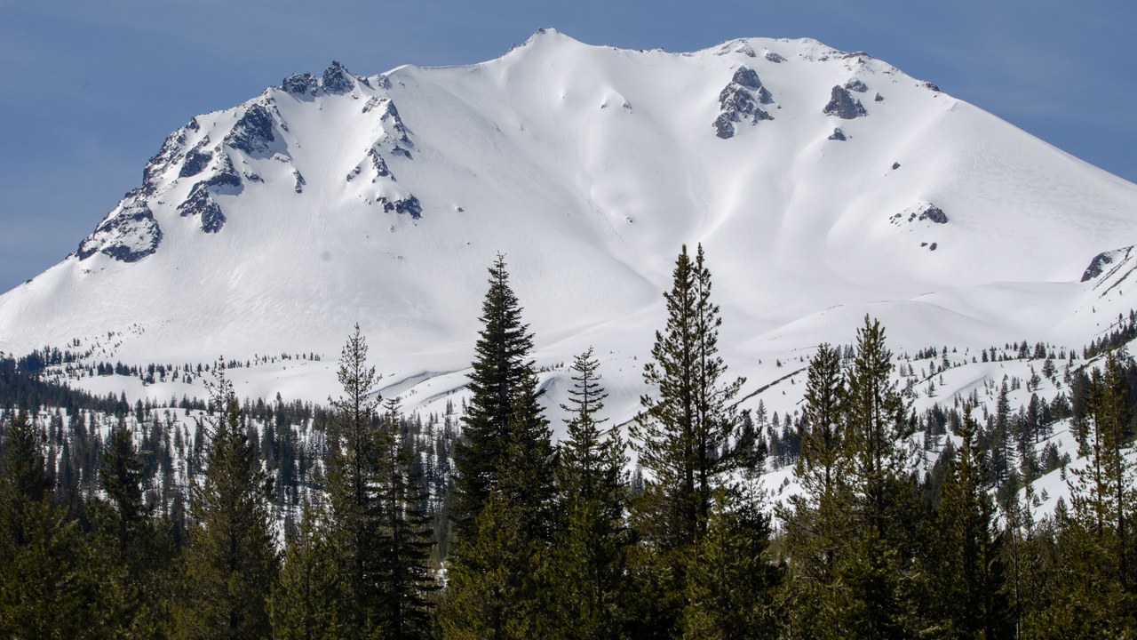
Lassen Peak, 10,462 feet in northern California, last erupted in 1917, according to the the Wikipedia list of US volcanoes. The dome-shaped summit anchors the southern end of the Cascade volcanic chain.
A century-old eruption still counts as recent in geologic terms. The peak draws hikers and park visitors who often treat it as a scenic landmark, though it remains an active-class volcano whose history shows the Cascades extend well beyond the Pacific Northwest.
12. Mount Baker: Near the Canadian Border
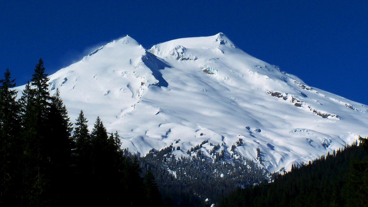
Mount Baker rises 10,778 feet near the Canadian border and last erupted in 1880, per the the Wikipedia volcano list. Its glacier-covered slopes make it a heavily glaciated Cascade peak.
Heavy ice cover is the central concern, since volcanic heat can melt snow and generate lahars that travel far down river valleys. The long gap since the last eruption does not rule out future activity, and Washington monitors keep the peak on their watch list.
Save more, waste less: Subscribe to The Cool Down →
We may earn a commission if you sign up.
More from Morning Overview
- Ford is recalling 223,472 F-150 pickups because the fuel tank can leak or detach
- Hybrids have 15% fewer problems than gas cars, while EVs and plug-in hybrids have about 80% more, Consumer Reports finds
- Regulators cleared the first U.S. small modular reactor, 4 months early
- Lake Powell sank to a record 3,517 feet, nearing the level that stops Glen Canyon Dam’s turbines
