
Earthquakes reveal how much force the planet can unleash in a matter of seconds, and the United States has recorded some of the largest ever measured. Alaska’s seismically active coastline and California’s shifting faults have each produced quakes that toppled buildings, triggered tsunamis and rewrote scientific records. Here are eight of the most powerful earthquakes ever measured on American soil, ranked by magnitude and impact.
1. 1964 Alaska earthquake: North America’s Strongest Quake
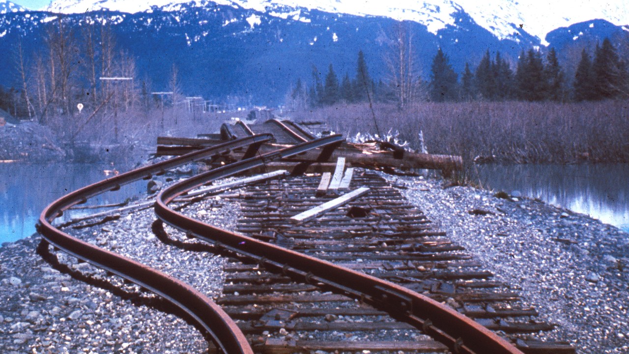
At magnitude 9.2, the 1964 Alaska earthquake remains the most powerful earthquake ever recorded in North America and the second most powerful anywhere on Earth since modern seismographs began tracking quakes in 1900.
Magnitude is measured on a logarithmic scale, so a reading that high reflects an enormous rupture of the Pacific and North American plates beneath southern Alaska, one large enough to trigger landslides and tsunami waves that struck coastal communities far from the epicenter. The same tectonic boundary continues to generate large earthquakes across the Aleutian arc, which is why seismologists still watch the region closely today.
2. 1965 Rat Islands earthquake: A Remote Pacific Giant
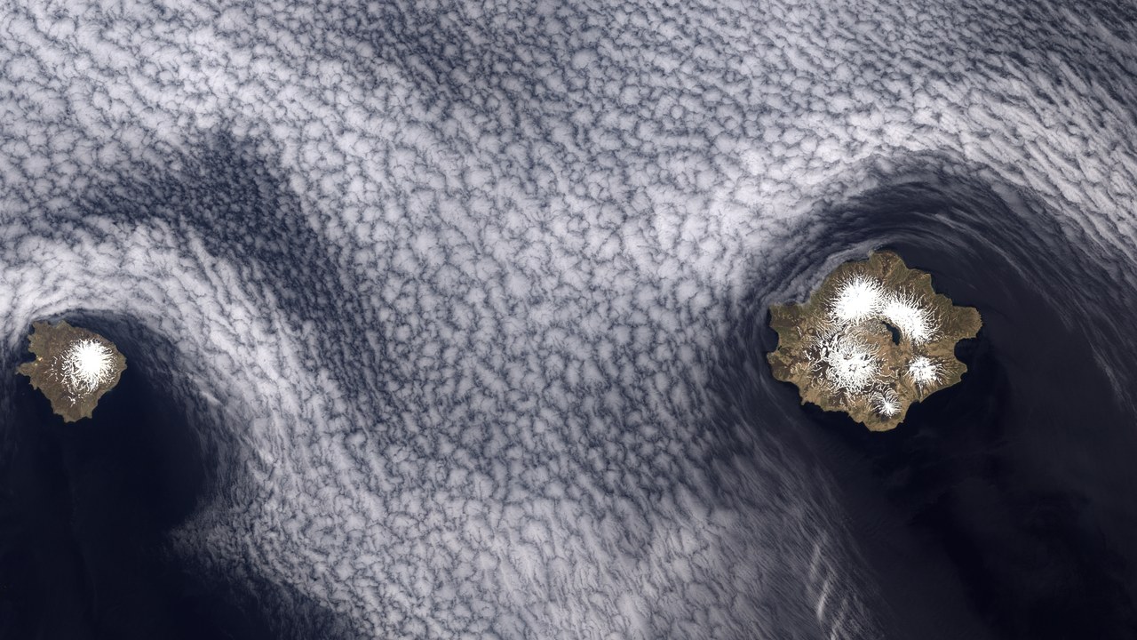
The 1965 Rat Islands earthquake struck at magnitude 8.7, making it one of the largest earthquakes in recorded history.
Its epicenter sat far out along the Aleutian Islands, a remote volcanic chain where the Pacific plate dives beneath North America and produces some of the planet’s largest earthquakes. Because so few people lived near the rupture, a quake of that size caused comparatively limited damage on land, even though it triggered a tsunami and was felt across a wide stretch of the North Pacific. Scientists still study the fault segment that slipped in this event to better understand how the wider Aleutian arc builds up and releases stress over time.
3. 1946 Aleutian Islands earthquake: A Pacific-Wide Tsunami
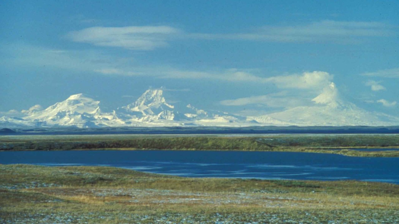
The 1946 Aleutian Islands earthquake measured magnitude 8.6 and unleashed a tsunami with waves as high as 138 feet, killing more than 165 people across the Pacific.
The wave crossed a vast stretch of open ocean, striking Hawaii and other distant Pacific shores after the quake struck out in the Aleutian Islands. That lag between the initial shaking and the tsunami’s arrival showed how a rupture in one remote corner of Alaska could threaten coastlines far removed from the epicenter, a lesson that helped push for the tsunami warning systems the Pacific still relies on.
4. 1957 Andreanof Islands earthquake: A Record Tsunami Rating
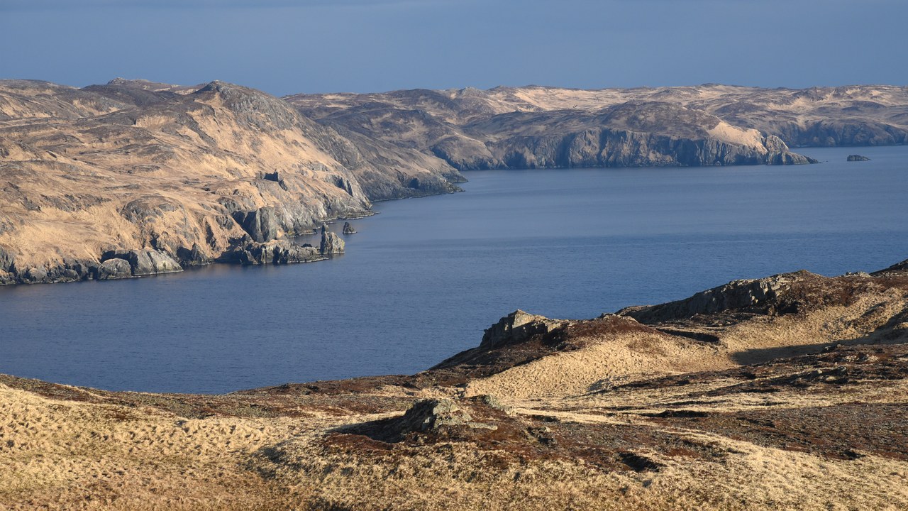
The 1957 Andreanof Islands earthquake registered a moment magnitude of 8.6 and generated a tsunami rated 9.0 on the tsunami magnitude scale, one of the highest readings ever recorded.
The tsunami magnitude scale measures a wave’s energy rather than the earthquake’s own strength, so a rating that high signals just how much water the seafloor displaced when the fault ruptured. The quake struck along the same volcanic arc that has produced several of the country’s largest earthquakes, underscoring how much seismic energy builds up where the Pacific plate slides beneath Alaska’s Aleutian Islands.
5. 1906 San Francisco earthquake: The City That Burned
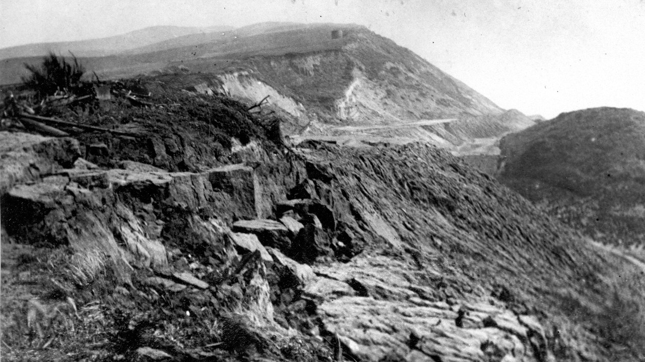
The 1906 San Francisco earthquake struck at magnitude 7.9, and the fires it ignited across the city killed an estimated 3,000 or more people, a toll the city’s Board of Supervisors later recognized as the official count.
Much of the destruction came not from the shaking itself but from fires that burned for days afterward, fed by ruptured gas lines and a water system too damaged to fight them. The disaster remains one of the deadliest in American history and pushed cities across the country to rethink building codes and fire preparedness in earthquake-prone areas.
6. 2002 Denali earthquake: A 37-Year Record
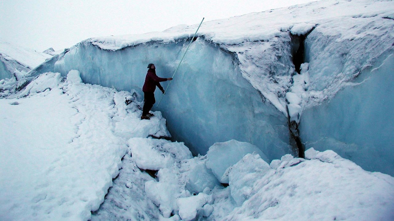
At magnitude 7.9, the 2002 Denali earthquake was the largest earthquake recorded in the United States in 37 years at the time it struck.
The rupture tore along the Denali Fault in a sparsely populated stretch of the Alaska Range, which kept the death toll and structural damage far lower than a quake of that size would cause near a major city. Even so, the shaking was strong enough to visibly shift the ground along the fault line for miles, a stark reminder of how much energy the earthquake released.
7. 1994 Northridge earthquake: A Costly California Quake
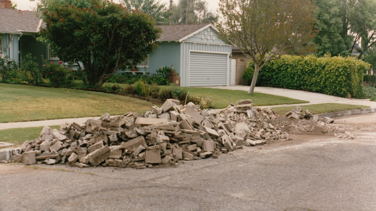
At only magnitude 6.7, the 1994 Northridge earthquake caused between $13 billion and $50 billion in damage, making it among the costliest disasters in United States history.
Its epicenter sat directly beneath a densely populated part of the Los Angeles area, which meant a comparatively moderate magnitude still caused widespread structural damage across the region. The disparity between its size and its price tag illustrated how location, depth and the density of nearby construction can matter as much as raw magnitude in determining just how destructive a given earthquake turns out to be for the people living above it.
8. 1959 Hebgen Lake earthquake: A Deadly Canyon Landslide
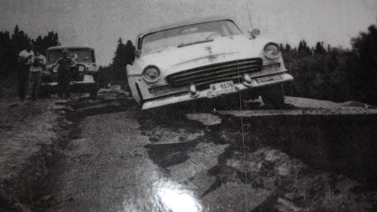
The 1959 Hebgen Lake earthquake measured 7.2 and triggered a massive landslide in Madison Canyon that swept away a family of six camping below, killing four of them.
Earthquake-triggered landslides can be deadlier than the shaking itself, especially in steep river canyons where tons of rock and debris can bury or sweep away anything in their path with little warning. The Hebgen Lake disaster remains one of the clearest examples in United States history of how quickly a mountainside can fail once the ground beneath it starts to shake, catching campers and travelers below with almost no time to react.
More from Morning Overview
- A recalled pill hid a stimulant dose linked to heart attacks and death
- Four U.S. startups fired up their first small nuclear reactors, aiming to power AI data centers on-site
- Card skimmers hidden on gas pumps and ATMs are draining accounts, and here’s the tell
- Doctors warn a silent liver disease now affects one in three American adults
