
The United States sits atop dozens of active volcanoes, and geologists rank several as serious threats to nearby communities. From Hawaii’s constantly erupting shields to the sleeping supervolcanoes of the American West, these mountains carry the power to bury towns, poison air, and reshape entire landscapes. Here are eight of the most dangerous active volcanoes in the country.
1. Kilauea: Perpetual Fountains Of Lava
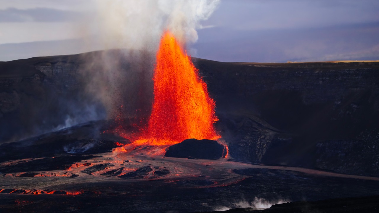
Kilauea, on Hawaii’s Big Island, ranks among the planet’s most active volcanoes and has erupted repeatedly for years, sometimes sending fountains of molten rock hundreds of feet into the sky. The U.S. Geological Survey, which tracks volcanic hazards nationwide, classifies it as a very-high-threat volcano because lava flows and volcanic gas regularly menace homes and communities on its flanks.
Its 2018 eruption destroyed more than seven hundred structures in the Puna district and reshaped the coastline. Because Kilauea’s eruptions are frequent and often effusive rather than explosive, residents usually have some warning, yet the relentless activity keeps roads, neighborhoods, and air quality under constant threat.
2. Mount St. Helens: The Mountain That Exploded
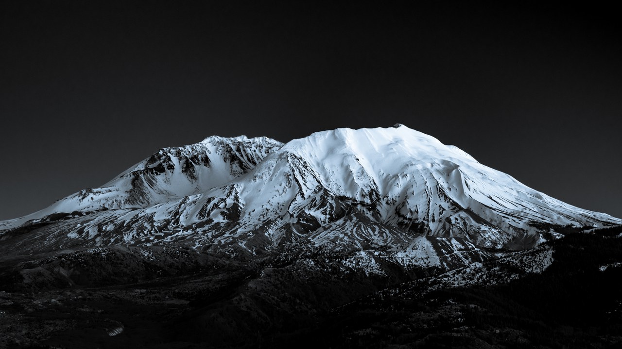
Mount St. Helens in Washington State delivered the deadliest and most economically destructive volcanic eruption in U.S. history when it blew apart on May 18, 1980, killing fifty-seven people. The lateral blast flattened forests across two hundred and thirty square miles, and the USGS still lists it among the nation’s highest-threat volcanoes in the Cascade Range.
The eruption removed roughly thirteen hundred feet from the peak’s summit and buried river valleys in ash and debris. A lava dome has since rebuilt inside the crater, and scientists monitor the mountain closely, warning that it remains the most likely Cascade volcano to erupt again within many people’s lifetimes.
3. Mount Rainier: A Town-Burying Mudflow Risk
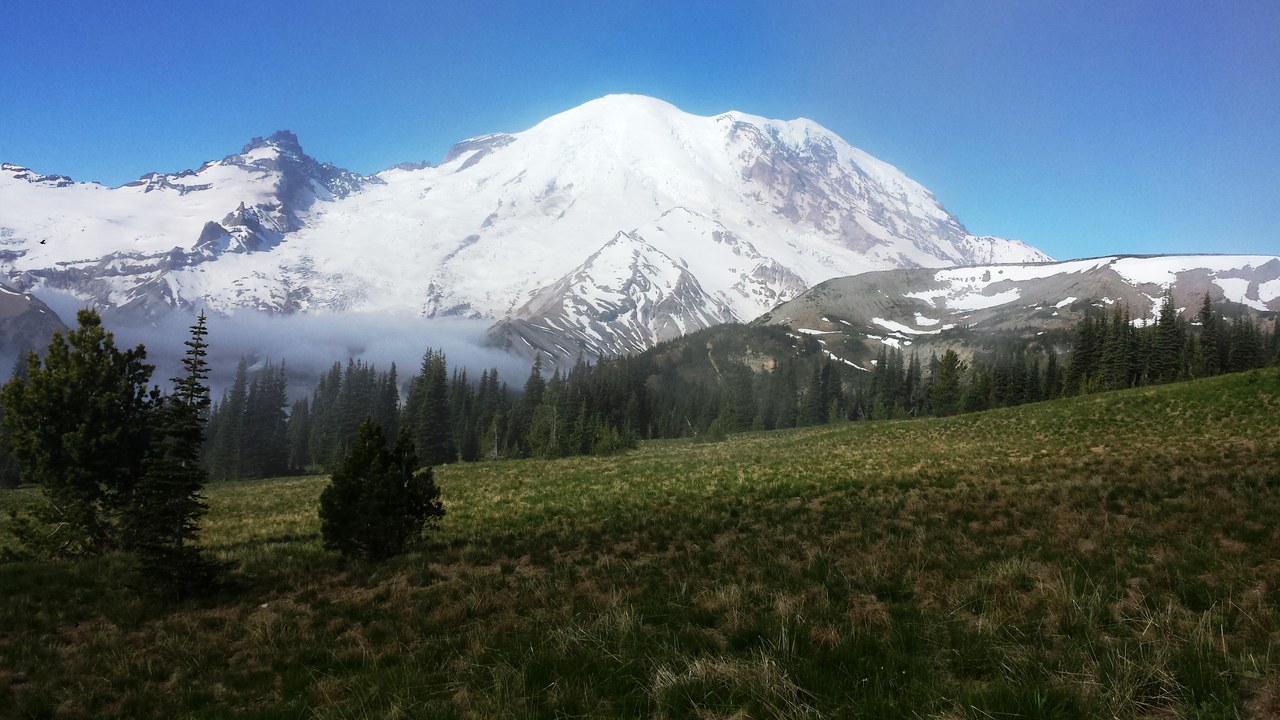
Mount Rainier towers over the Seattle-Tacoma region, and geologists consider it one of the most dangerous volcanoes in the world less for its eruptions than for its lahars. The USGS hazard assessments warn that even a modest eruption, or simply a collapse of its ice-clad slopes, could unleash a fast-moving mudflow of rock and meltwater.
Such a lahar could race down river valleys at highway speeds and bury communities like Orting, where tens of thousands of people live atop deposits from past flows. Because roughly ninety thousand residents occupy land shaped by previous lahars, the region drills evacuation routes and maintains warning sirens for an event that may arrive with little notice.
4. Yellowstone: A Sleeping Supervolcano
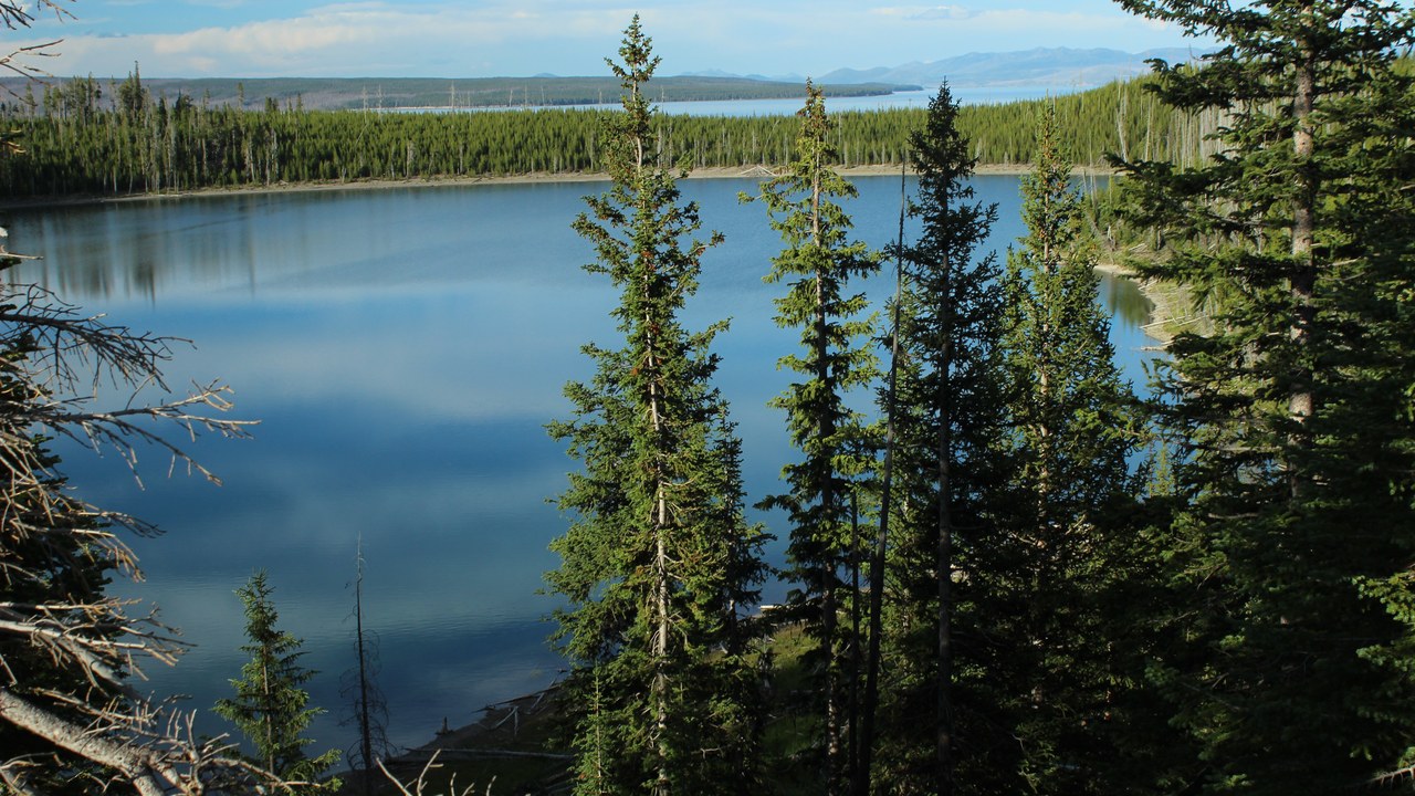
Beneath Yellowstone National Park lies one of Earth’s largest volcanic systems, a caldera that has produced three cataclysmic super-eruptions over the past two million years. The Yellowstone Caldera measures roughly thirty by forty-five miles, and its underlying magma reservoir fuels the park’s famous geysers, hot springs, and steaming ground.
Scientists emphasize that a super-eruption is extraordinarily unlikely in any human timeframe, with annual odds estimated at around one in seven hundred thousand. Far more probable are hydrothermal explosions or lava flows, yet the sheer scale of a worst-case event, capable of blanketing much of the continent in ash, keeps Yellowstone on every list of dangerous American volcanoes.
5. Mount Shasta: Northern California’s Looming Giant
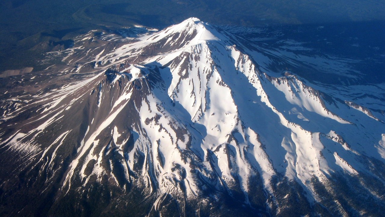
Mount Shasta rises more than fourteen thousand feet above northern California and has erupted roughly once every eight hundred years over recent millennia. Geologists describe Mount Shasta as a potentially very active stratovolcano whose future eruptions could send pyroclastic flows, lahars, and ash across surrounding towns such as Weed and Mount Shasta City.
Its last significant eruption likely occurred a few hundred years ago, and the volcano’s steep, glacier-covered slopes add the danger of debris avalanches even without fresh magma. Because communities, highways, and reservoirs sit within reach of its valleys, scientists count it among the Cascades’ higher-threat peaks despite its long stretches of apparent quiet.
6. Mauna Loa: Earth’s Largest Active Volcano
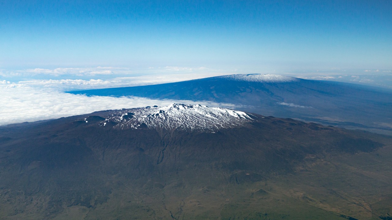
Mauna Loa, sharing Hawaii’s Big Island with Kilauea, is the largest active volcano on the planet, a massive shield rising from the seafloor to more than thirteen thousand feet above sea level. After decades of quiet, Mauna Loa erupted in late 2022, sending lava flows toward the main highway and reminding residents how quickly its fast-moving flows can advance.
Because its gentle slopes allow lava to travel long distances, eruptions have historically threatened the city of Hilo and surrounding settlements. The volcano has erupted dozens of times since the nineteenth century, and its combination of enormous volume and proximity to populated areas keeps it high on the USGS threat rankings.
7. Long Valley Caldera: A Restless, Swelling Basin
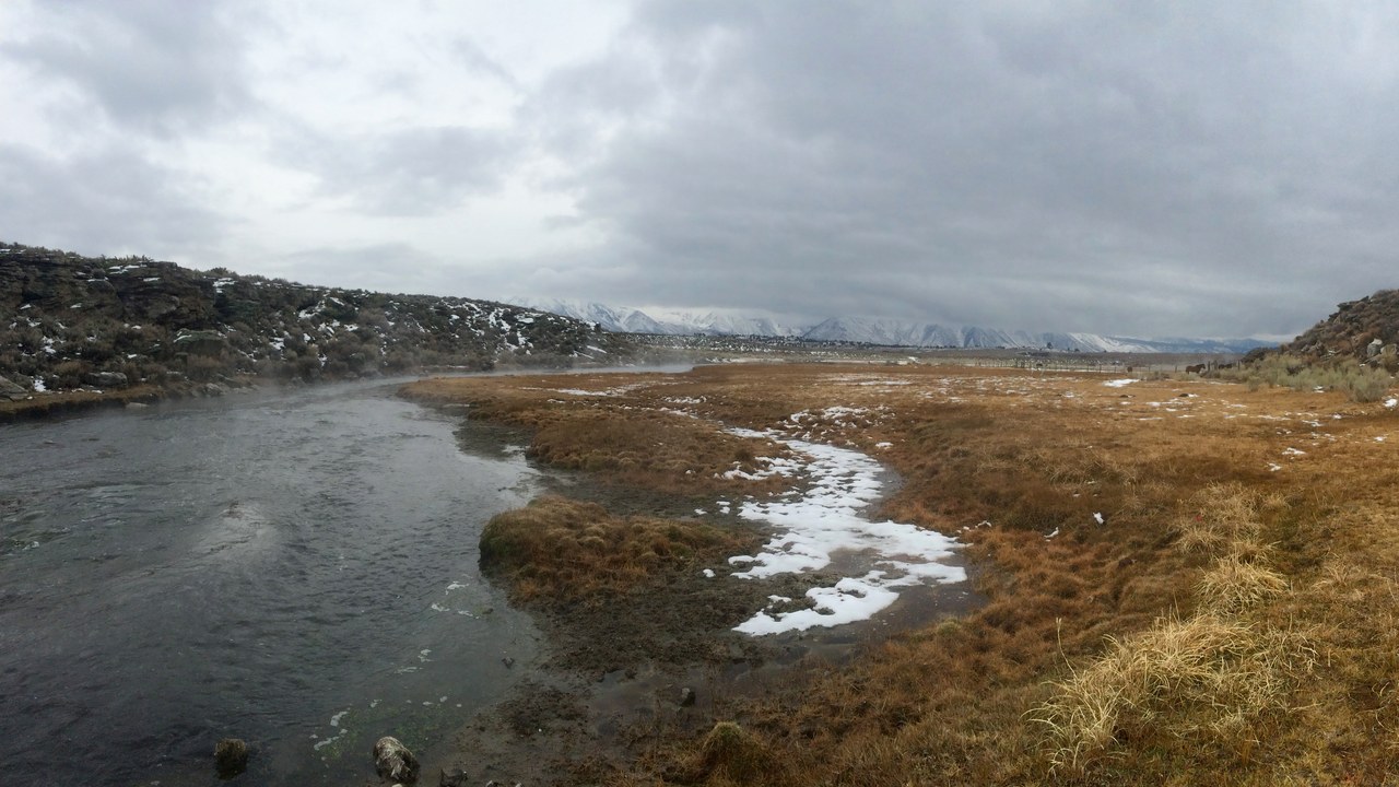
Long Valley Caldera in eastern California formed about seven hundred and sixty thousand years ago in one of the largest eruptions in the region’s history. In recent decades the Long Valley Caldera has repeatedly stirred, with swarms of earthquakes and ground uplift signaling magma shifting beneath the surface near the resort town of Mammoth Lakes.
During an unrest episode in the 1980s, the ground rose and carbon dioxide seeping from below killed trees on nearby Mammoth Mountain. Scientists continue to monitor the caldera closely, and while a major eruption is not considered imminent, its persistent restlessness earns it a place among the country’s most watched volcanic systems.
8. Mount Hood: Oregon’s Explosive Landmark
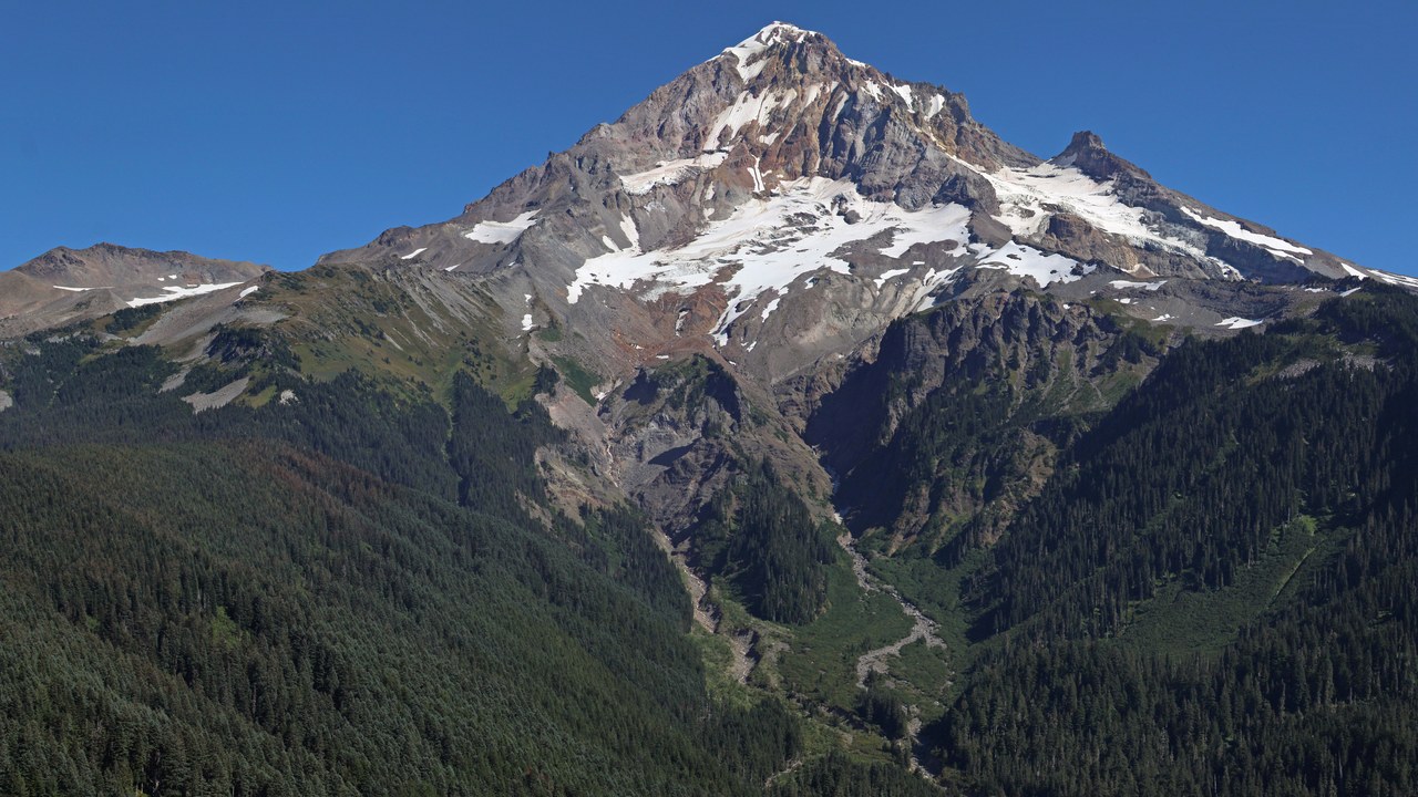
Mount Hood, Oregon’s tallest peak, stands as a picturesque backdrop to Portland while concealing a history of explosive eruptions. Geologists note that Mount Hood last erupted in the decades around 1800, producing pyroclastic flows and lahars that reached the Sandy and Zigzag river valleys west of the summit.
A future eruption would most likely repeat that pattern, sending mudflows down drainages that now hold highways, reservoirs, and communities near the mountain’s base. Because the volcano sits close to a major metropolitan corridor and its glaciers could amplify any lahar, the USGS ranks it among the higher-threat volcanoes in the Cascades.
More from Morning Overview
- A handful of SUVs keep hitting 300,000 miles, and they share one engine trait
- Supplements now rank as the fifth-leading cause of death from liver disease.
- A study names the one SUV most likely to reach 250,000 miles
- More than 60,000 people flee the Spokane area as complex fires overrun 600 structures
