
Measuring a river sounds simple until surveyors have to decide where its headwaters actually begin. Small changes in that definition can move a waterway hundreds of miles up or down the rankings, which is why the top of the list has been argued over for more than a century. These eight rivers sit highest by the most widely cited measurements.
1. Nile: The Traditional Title Holder
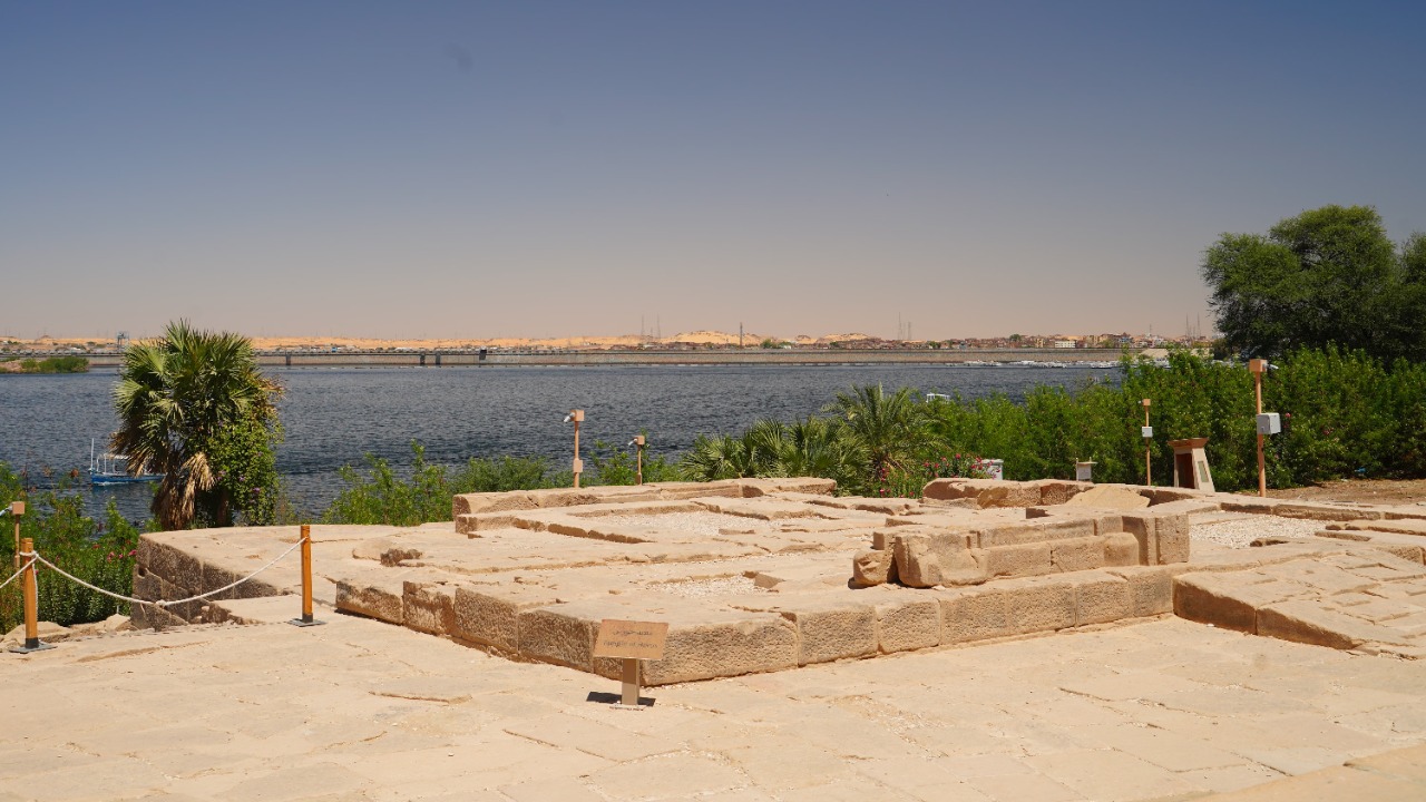
Flowing north roughly 4,130 miles from central Africa to the Mediterranean, the Nile appears in most reference tables as the world’s longest river. Two branches feed it: the White Nile, rising in the Great Lakes region, and the Blue Nile, dropping out of the Ethiopian Highlands to meet it at Khartoum. The Blue Nile supplies the majority of the water and nearly all the silt that once drove Egypt’s annual flood.
That ranking is no longer uncontested. Surveys of the Amazon’s southern headwaters have produced totals that exceed the Nile’s, and the difference sits inside the margin of error of either measurement. Eleven countries draw on the basin, so where the water is counted carries real consequences.
2. Amazon: Volume Beyond Comparison
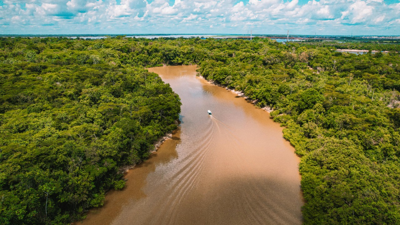
No other river moves water like the Amazon, which discharges roughly 209,000 cubic meters per second into the Atlantic, more than the next seven rivers combined and about a fifth of all freshwater reaching the world’s oceans. Its main stem runs close to 4,000 miles, and its basin spreads across some 2.7 million square miles of South America.
Length is the contested part. A 2007 Brazilian expedition traced the source to a stream high in the Peruvian Andes and put the total near 4,345 miles, which would displace the Nile; other teams measure from a different headwater and arrive at a shorter figure. Definition, not distance, decides the podium.
3. Yangtze: Asia’s Longest Artery
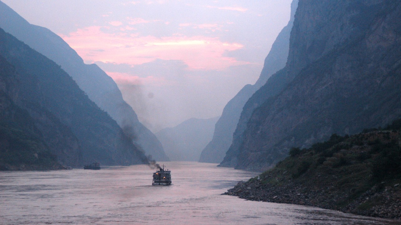
At about 3,915 miles, the Yangtze is the longest river in Asia and the longest anywhere that runs entirely within a single country. It rises on the Tibetan Plateau, cuts through the Three Gorges, and reaches the East China Sea past Shanghai. Its basin drains roughly a fifth of China’s land area, supports about a third of the population, and carries the Three Gorges Dam, the largest power station on Earth by installed capacity.
Concentrating that many people along one corridor turns flooding into a national emergency rather than a regional one. The 1931 floods on the Yangtze rank among the deadliest natural disasters ever recorded, and flood control was a central argument for damming the gorges.
4. Mississippi: A Continent’s Drainpipe
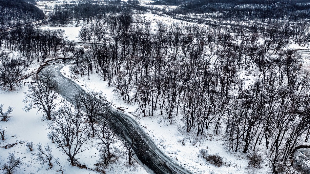
Measured alone the Mississippi runs about 2,340 miles, but hydrologists usually count it with the Missouri and Jefferson, and the combined river system stretches roughly 3,900 miles from Montana to the Gulf. Its watershed gathers runoff from 31 states and two Canadian provinces, covering about 1.2 million square miles, or some 40 percent of the continental United States.
That reach explains why the river carries so much of the country’s bulk freight and so much of its farm chemistry. Nutrients washed off Midwestern fields travel the whole length and feed the oxygen-poor dead zone that forms each summer off Louisiana, a coastal problem created a thousand miles upstream.
5. Yenisei: The Arctic’s Biggest Feeder
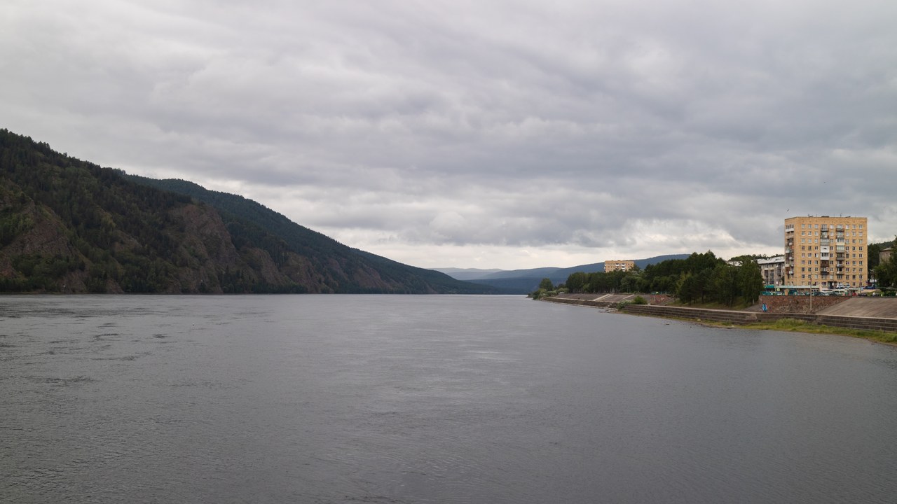
Taken together with the Angara and Selenga, the Yenisei stretches about 3,445 miles and forms the largest Arctic river system by discharge, pushing roughly 19,600 cubic meters of water per second into the Kara Sea. It drains central Siberia, separating the western lowlands from the Central Siberian Plateau, and passes the industrial city of Krasnoyarsk before crossing the Arctic Circle.
Ice governs the schedule. The lower channel freezes first and thaws last, so meltwater arriving from the warmer south backs up behind downstream ice and spills across the floodplain, an annual pattern that shapes settlement, shipping seasons and the timing of every hydroelectric release on the river.
6. Yellow River: The River That Raises Its Own Bed
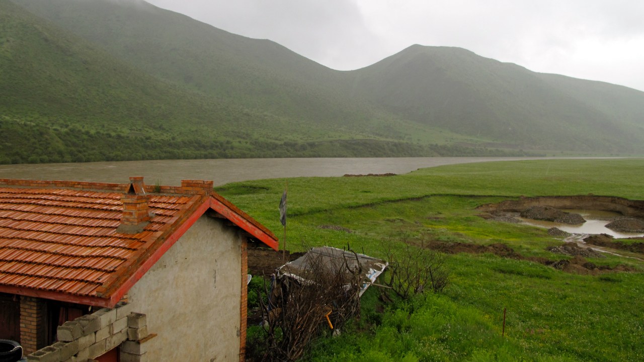
Loess gives the Huang He both its color and its name: the silt it carries is heavy enough that the channel lays down its own bed higher than the surrounding farmland in places. The river runs about 3,395 miles from the Bayan Har Mountains to the Bohai Sea. Levees held for centuries, then failed catastrophically, and the course has shifted dozens of times; the flood of 1887 killed hundreds of thousands.
Chinese civilization grew along those banks anyway, drawn by the fertility the same silt delivered. Modern demands have inverted the risk: heavy irrigation and industrial withdrawal left the lower channel dry before it reached the sea in several years during the 1990s, and flow is now managed reservoir by reservoir.
7. Ob: Siberia’s Frozen Highway
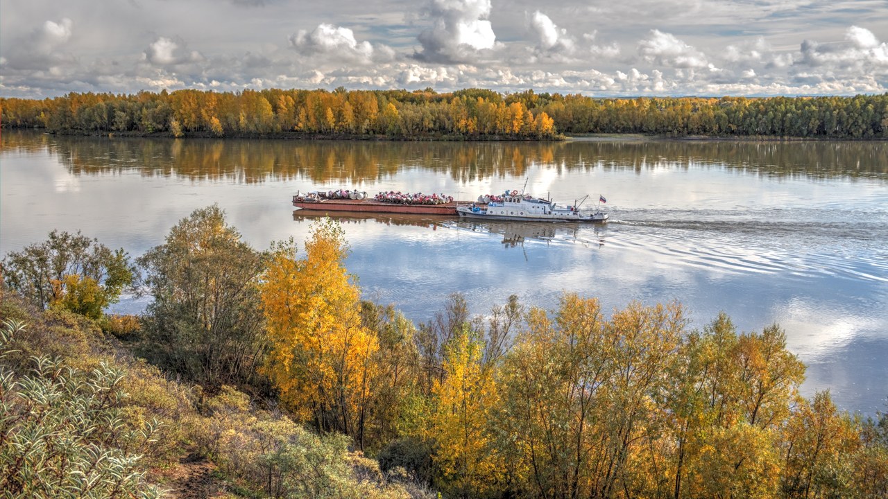
The Ob alone runs about 2,268 miles; joined with the Irtysh it reaches roughly 3,364 miles and drains western Siberia’s low basin, an expanse of nearly 1.15 million square miles. Because that basin is exceptionally flat, the river spreads into some of the largest wetlands on the planet before emptying into the Gulf of Ob, a 600-mile estuary opening onto the Kara Sea.
Frozen for roughly half the year, the channel doubles as a winter road and reverts to a barge route each summer. Oil and gas fields sit across the same watershed, which makes those wetlands simultaneously a carbon store of global significance and the service corridor for a major energy province.
8. Parana: South America’s Working River
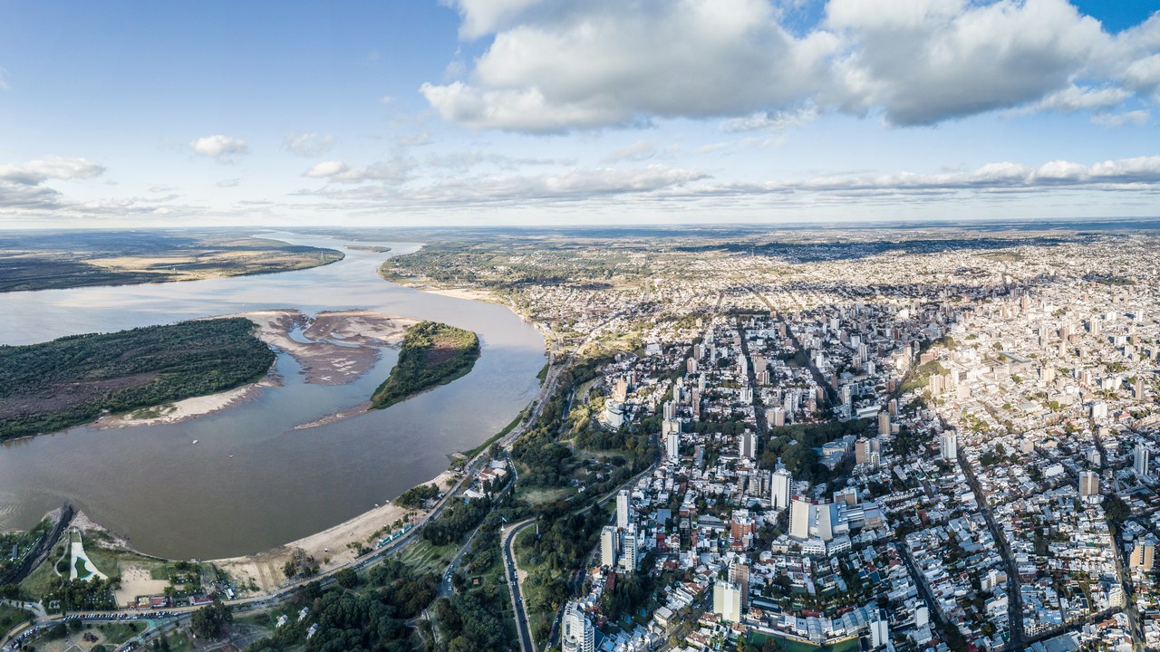
Formed where the Paranaiba and Grande meet in Brazil, the Parana travels about 3,030 miles south through Paraguay and Argentina, making it the second-longest South American river after the Amazon. It carries the Itaipu Dam, one of the largest hydroelectric plants ever built by annual output, and ends by merging with the Uruguay to form the Rio de la Plata estuary.
Barge traffic from the interior soybean belt runs down this corridor to Atlantic ports, so the river’s depth is an economic variable rather than a purely hydrological one. Drought dropped levels to their lowest since the 1940s early this decade, forcing shippers to lighten loads and turning channel dredging into a standing regional negotiation.
