
Most lakes are dangerous only in the obvious ways: cold water, sudden drop-offs, bad weather. A handful carry a different kind of risk, written into their chemistry or into the geology underneath them, and it almost never announces itself at the shoreline. Here are eight lakes whose water can turn lethal without warning.
1. Lake Nyos: The 1986 Gas Cloud
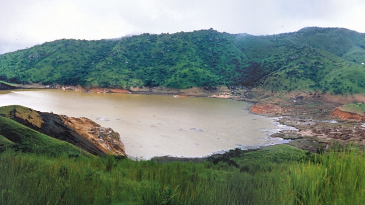
On the night of August 21, 1986, carbon dioxide that had spent decades accumulating under pressure in the cold water at the floor of this Cameroonian crater lake burst to the surface. Denser than air, the cloud poured downslope into the valleys below and displaced the breathable atmosphere in villages several kilometres away. Roughly 1,700 people and thousands of livestock suffocated within hours.
The disaster gave the phenomenon its name, the limnic eruption, and forced an engineering answer. Degassing pipes lowered into the deep water from 2001 let gas-charged water rise and vent continuously, keeping saturation below the trigger point.
2. Lake Kivu: The Gas Held Under Pressure
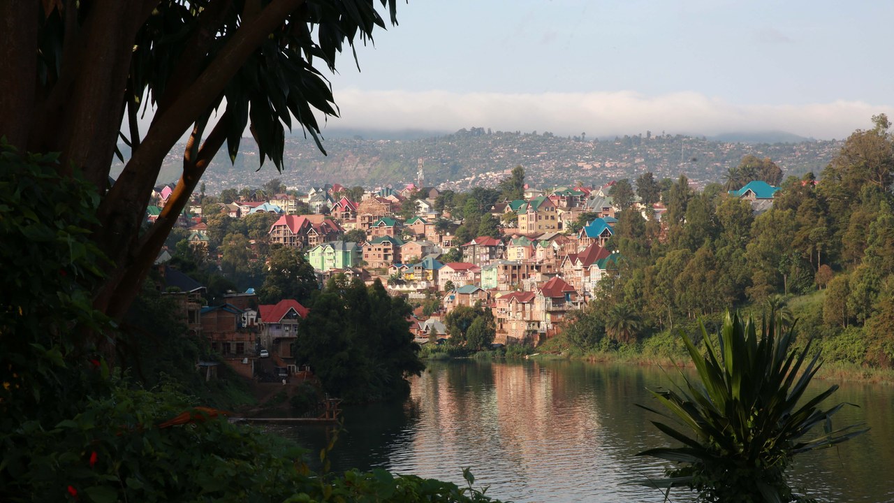
Straddling the border between Rwanda and the Democratic Republic of the Congo, the deep basin of Kivu holds an estimated 300 cubic kilometres of dissolved carbon dioxide and roughly 60 cubic kilometres of methane, pinned in the depths by the weight of the water above. About two million people live along its shores.
Nothing has erupted there in recorded history, though sediment cores point to catastrophic overturns on a scale of a thousand years or so. A floating plant now draws gas-rich water from depth and burns the methane for electricity, generating power while slowly bleeding off the hazard. Whether extraction outpaces resupply from below remains contested.
3. Boiling Lake: The Flooded Fumarole
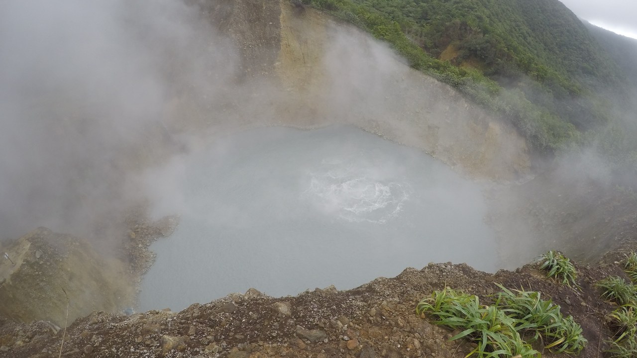
Roughly 60 metres across and permanently wrapped in steam, Dominica’s Boiling Lake fills a fumarole inside Morne Trois Pitons National Park. Water at the edges has been measured between about 82 and 92 degrees Celsius, and the churning grey-blue centre is too violent to sample directly. Molten rock venting below keeps it at a rolling simmer.
Reaching it means hours of hiking through the Valley of Desolation, past hot streams and vents where crusted ground can give way underfoot. The lake is unstable in its own right: it has drained almost completely and refilled more than once, with level and temperature shifting over days.
4. Lake Natron: The Soda Lake That Calcifies
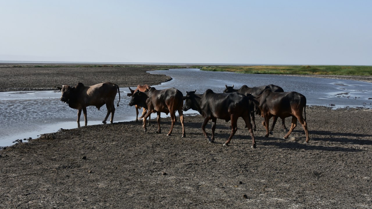
Fed by mineral springs and the unusual alkaline lava of Ol Doinyo Lengai, this Tanzanian soda lake carries enough sodium carbonate to push its pH toward 10.5, while shallow water can reach around 60 degrees Celsius. Animals that die in it are preserved by chemistry rather than cold, the mineral crust hardening around them into calcified birds and bats.
The same conditions that make Natron hostile also make it valuable. Its caustic water keeps predators off, and the lake is the main breeding site for East Africa’s lesser flamingos, which nest on salt islands and feed on cyanobacteria thriving in the brine.
5. Lake Karachay: The Shoreline Lethal In An Hour
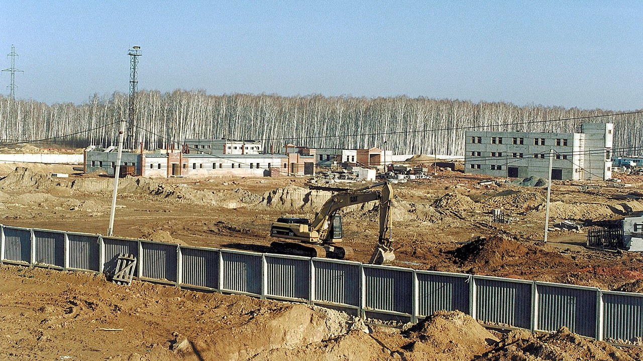
From 1951 the Soviet Mayak plutonium complex used a small Ural lake as an open dump for high-level radioactive waste. Measurements reported around 1990 put the dose rate at the shoreline near 600 roentgen an hour, enough to kill a person standing there for roughly sixty minutes, which ranked it among the most contaminated spots on the planet.
Drought made it dangerous in a different way in 1967, when sediment blew off the exposed bed and scattered radioactive dust across the surrounding region. Decades of filling the basin with concrete blocks, rock and soil finished in 2015, locking the sediment down without removing what lies beneath.
6. Horseshoe Lake: The Seep That Killed A Forest
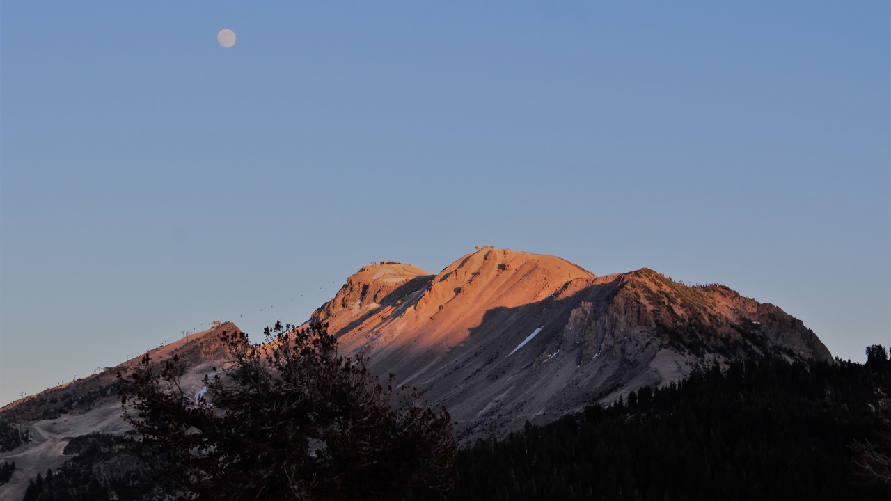
Carbon dioxide rising from magma under the Long Valley caldera vents through the ground around Horseshoe Lake on the flank of California’s Mammoth Mountain, a seep that began after an earthquake swarm in 1989. Soil gas has been measured at concentrations leaving almost no room for oxygen, and roughly 100 acres of pine forest have died where it saturates the root zone.
Standing dead timber and posted warnings mark the hazard, because the gas is invisible and settles into low ground. Snow pits, depressions and enclosed spaces near the seep can fill with it, and three ski patrollers died of asphyxiation in 2006 after falling into a fumarole elsewhere on the mountain.
7. Lake Monoun: The Warning Before Nyos
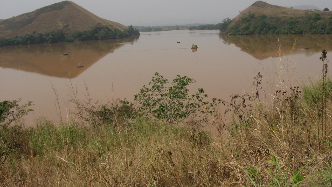
Two years before Nyos, in the early hours of 15 August 1984, a smaller Cameroonian lake did the same thing on a smaller scale. A cloud of carbon dioxide rose off the water and settled along a road running through a low valley, killing 37 people who happened to be travelling through it that morning.
Sabotage and chemical weapons were suspected first, and the limnic mechanism was accepted only after Nyos made the pattern impossible to ignore. A degassing pipe installed in 2003 now vents the deep water, and monitoring continues because volcanic gas keeps recharging both lakes from below.
8. Berkeley Pit: The Acid Lake In A Mine
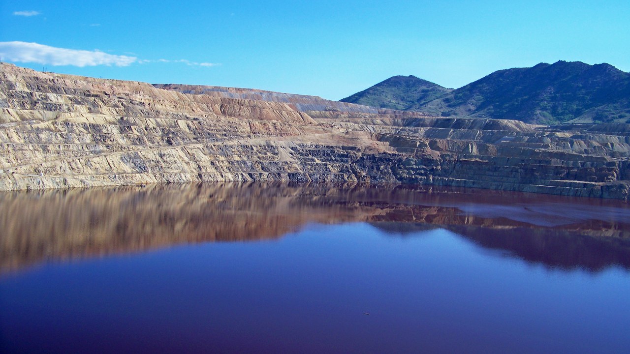
After the pumps at Butte, Montana’s open-pit copper mine were switched off in 1982, groundwater began filling the excavation and leaching metal out of the exposed rock. The resulting pit lake now stands hundreds of metres deep, its water hovering near pH 2.5 and carrying dissolved copper, arsenic, cadmium and zinc.
Wildlife has measured the toxicity. Several hundred snow geese died after landing on the water in 1995, and thousands more perished during a single storm-driven landing in November 2016. The pit belongs to one of the largest Superfund sites in the country, and its water is treated once the level reaches a set elevation.
More from Morning Overview
- Scientists spotted a rare tusked whale alive at sea for the first time, then fired a crossbow at it.
- A Colorado wildfire forced level-three ‘leave now’ orders across Ouray County
- A skeleton beneath Petra’s Treasury was found clutching a chalice that resembles the Holy Grail
- 8 SUVs mechanics are quietly steering buyers away from in 2026
