Image Credit: PJeganathan - CC BY-SA 4.0/Wiki Commons
Some islands are closed by law, and others by whatever already lives on them. Governments, armies and scientists have all drawn lines around patches of land that outsiders are told to stay away from, for reasons ranging from vipers and radiation to a community that wants no contact at all. Here are eight places where landing is either banned outright or genuinely reckless.
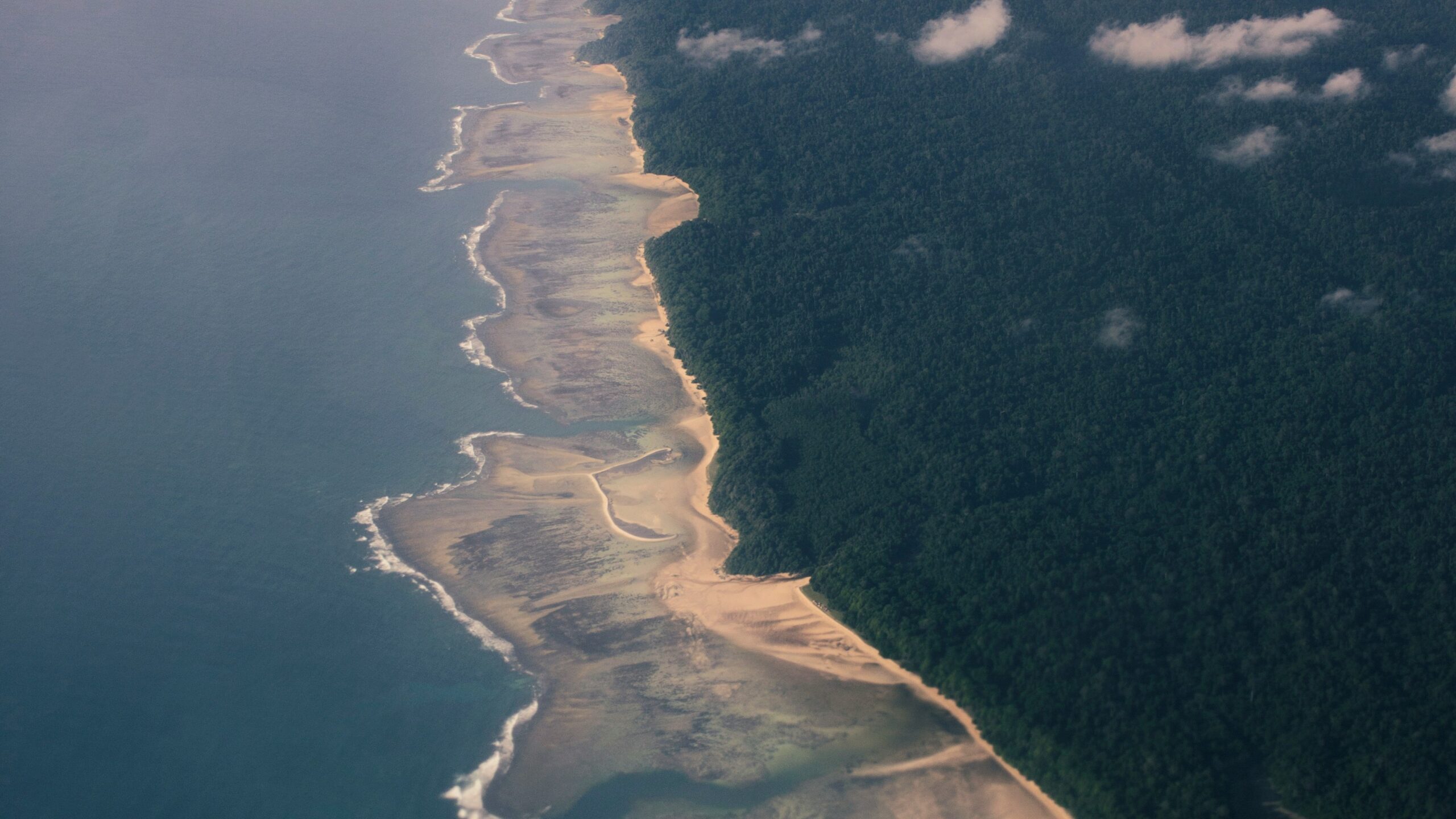
1. North Sentinel Island: The Contact Ban Enforced By Arrows
📷 Vivek Doshi/Unsplash
India treats the Andaman outpost of North Sentinel Island as a tribal reserve and forbids travel inside a buffer zone patrolled around its reef, a rule meant to keep outsiders away from a community that has answered nearly every approach with arrows. Two fishermen who drifted ashore in 2006 were killed, and in 2018 an American missionary, John Allen Chau, died after paying boatmen to carry him toward the beach.
Isolation also works as a medical shield. A population never exposed to common respiratory infections could be devastated by one visitor carrying influenza or measles, which is why Indian policy abandoned the contact expeditions of the 1960s and 1970s.
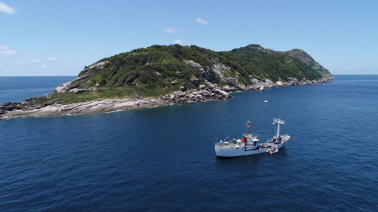
2. Ilha da Queimada Grande: The Viper Island Off Sao Paulo
Image Credit: Marinha do Brasil – CC BY-SA 2.0/Wiki Commons
Roughly 33 kilometres off the coast of Sao Paulo state, Ilha da Queimada Grande holds the only population of the golden lancehead, a critically endangered pit viper found nowhere else on earth. Rising seas cut the island off from the mainland thousands of years ago, and with no ground prey the snakes evolved unusually fast-acting venom to drop migrating birds before they could fly away.
The Brazilian Navy controls landings and permits go to researchers rather than sightseers. Population estimates range from a couple of thousand animals upward across about 43 hectares; the popular claim of a snake per square metre is folklore, but venom potency plus no medical help nearby justifies the closure.
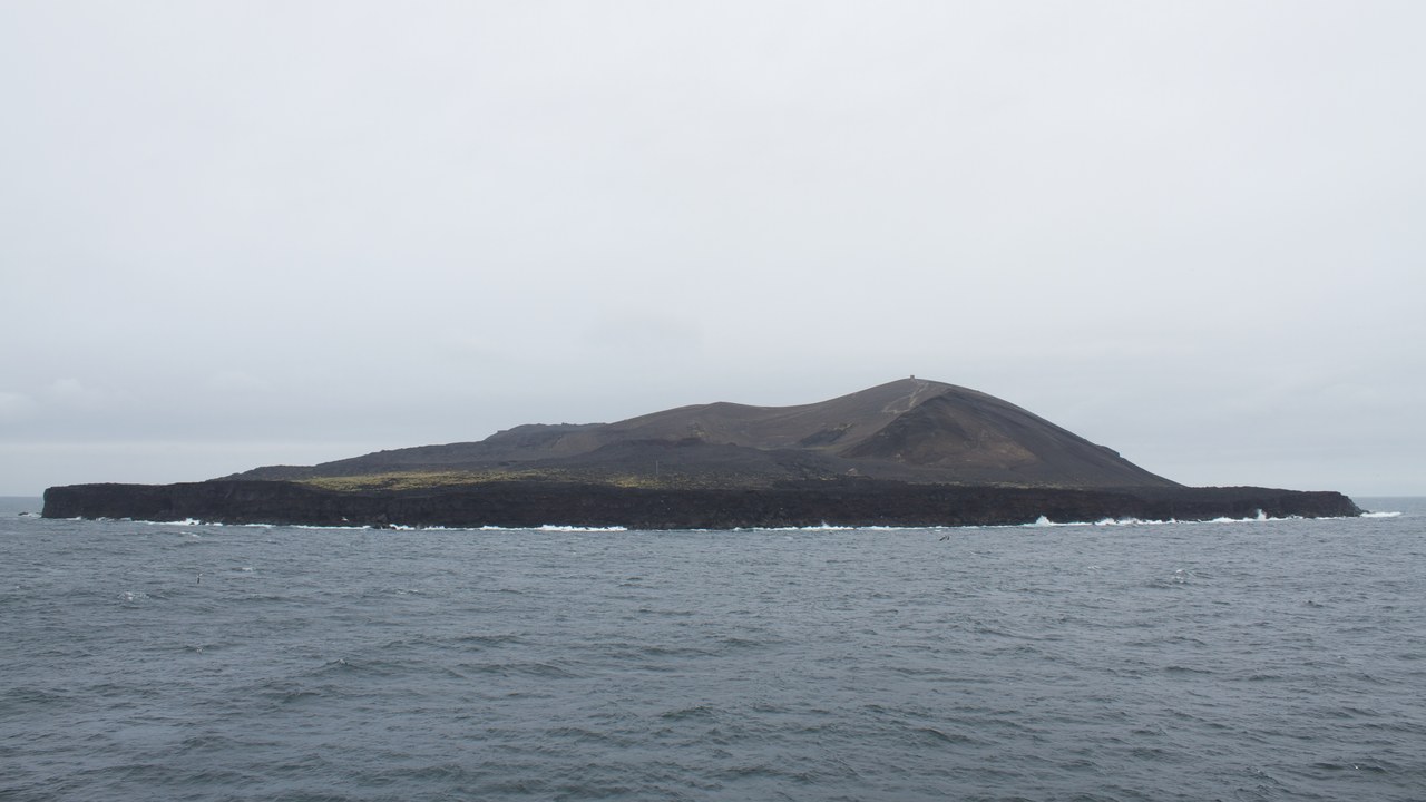
3. Surtsey: A Laboratory Sealed At Birth
Image Credit: Brian Gratwicke – CC BY 2.0/Wiki Commons
Undersea eruptions pushed the Icelandic island of Surtsey above the waves between 1963 and 1967, and protection followed almost immediately so biologists could record colonization of sterile ground from day one. Only a handful of scientists land each year, seeds may not be carried ashore, and a tomato plant that sprouted from human waste was pulled up once it was discovered.
That undisturbed record is what UNESCO cited when it added the island to the World Heritage list in 2008, tracing mosses, vascular plants and nesting seabirds in documented sequence. Erosion is winning the longer argument: more than half the original surface has already washed away.
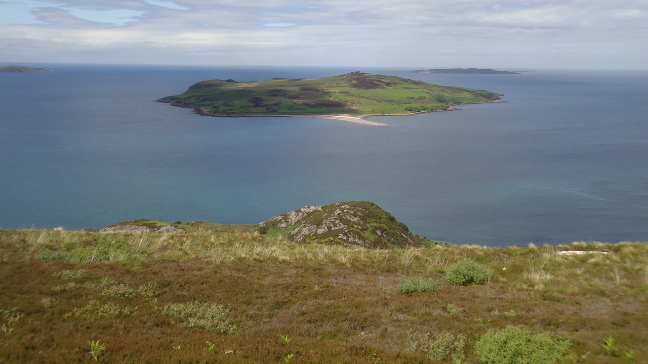
4. Gruinard Island: Four Decades Under Anthrax Quarantine
Image Credit: Michael Earnshaw – CC BY-SA 2.0/Wiki Commons
British scientists detonated anthrax bombs over tethered sheep on Gruinard Island, off northwest Scotland, in 1942 and 1943 to test biological weapons, and the spores settled into the soil and stayed there. The government bought the island, quarantined it and posted warning signs for four decades. Decontamination came only in 1986, when crews soaked the ground with formaldehyde diluted in seawater.
Officials declared the island safe in 1990 and sold it back to the original owner’s heirs for the same 500 pounds paid in 1942. Sheep have grazed there since without incident, though the episode remains a blunt lesson in how long an engineered pathogen outlives the programme that created it.
5. Ramree Island: Mangrove Swamp And A Wartime Legend
Image Credit: Arezarni – CC BY-SA 4.0/Wiki Commons
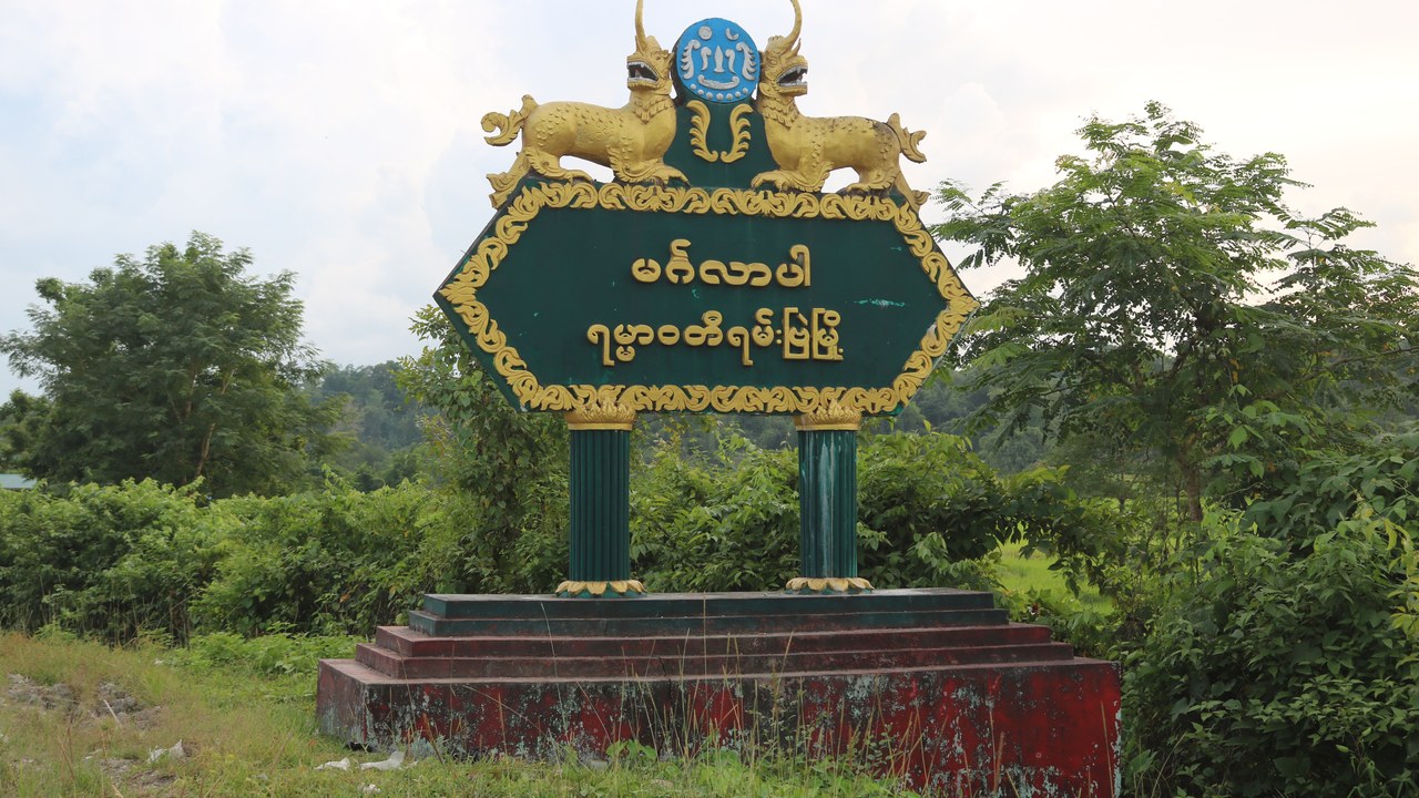
The tidal swamps of Ramree Island, in Myanmar’s Rakhine State, became infamous after a British naturalist claimed saltwater crocodiles killed hundreds of Japanese soldiers retreating through them in February 1945. Historians have since picked the account apart, pointing out that unit records do not support that scale and that snipers, malaria, dysentery and thirst account for most of the losses.
The terrain itself is not in dispute. Dense mangrove, tidal creeks and a real resident population of the largest living reptile make the interior hostile ground, and Rakhine State’s conflict and travel restrictions keep the island effectively closed to ordinary travellers anyway.
6. Bikini Atoll: Fallout That Never Left The Soil
Image Credit: unknown – Public domain/Wiki Commons
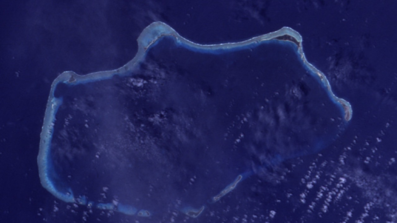
The United States detonated 23 nuclear devices at Bikini Atoll in the Marshall Islands between 1946 and 1958, among them Castle Bravo, a 15-megaton blast whose yield ran far beyond the forecast and spread fallout across neighbouring atolls. Residents were moved off in 1946; a resettlement in the 1970s was reversed in 1978 after islanders were found carrying elevated caesium-137.
Coconut and other locally grown food still draw that isotope out of the soil, which is why the atoll sustains occasional dive trips to the warships sunk in its lagoon but no permanent population. UNESCO listed the site in 2010 as physical evidence of the nuclear testing era.
7. Poveglia: Venice’s Locked Quarantine Island
Image Credit: Marco Usan – CC BY 3.0/Wiki Commons
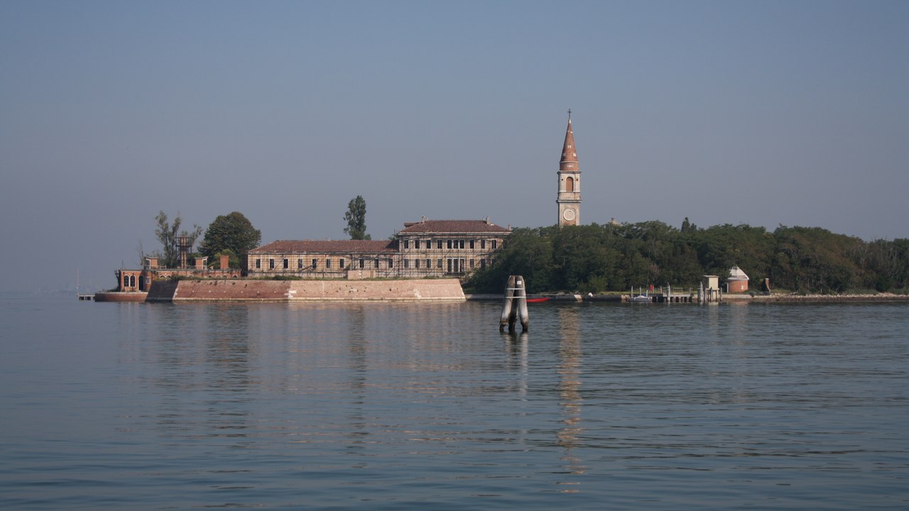
A short crossing from Venice, the lagoon island of Poveglia served as a checkpoint for arriving ships and, in the late eighteenth century, as a quarantine station during plague outbreaks. A hospital widely described as a psychiatric facility ran there until 1968, after which the buildings were left to decay. The island is state property and landing without authorisation is prohibited.
Its reputation has outgrown the documented record, since the grimmest asylum stories are unverified, but the derelict structures are a genuine hazard. An attempt to auction a long lease in 2014 collapsed when the winning bid never turned into a project, leaving the ruins in the same suspended state.
8. Farallon Islands: Sharks Above, Barrels Below
Image Credit: USFWS Pacific Southwest Region – Public domain/Wiki Commons
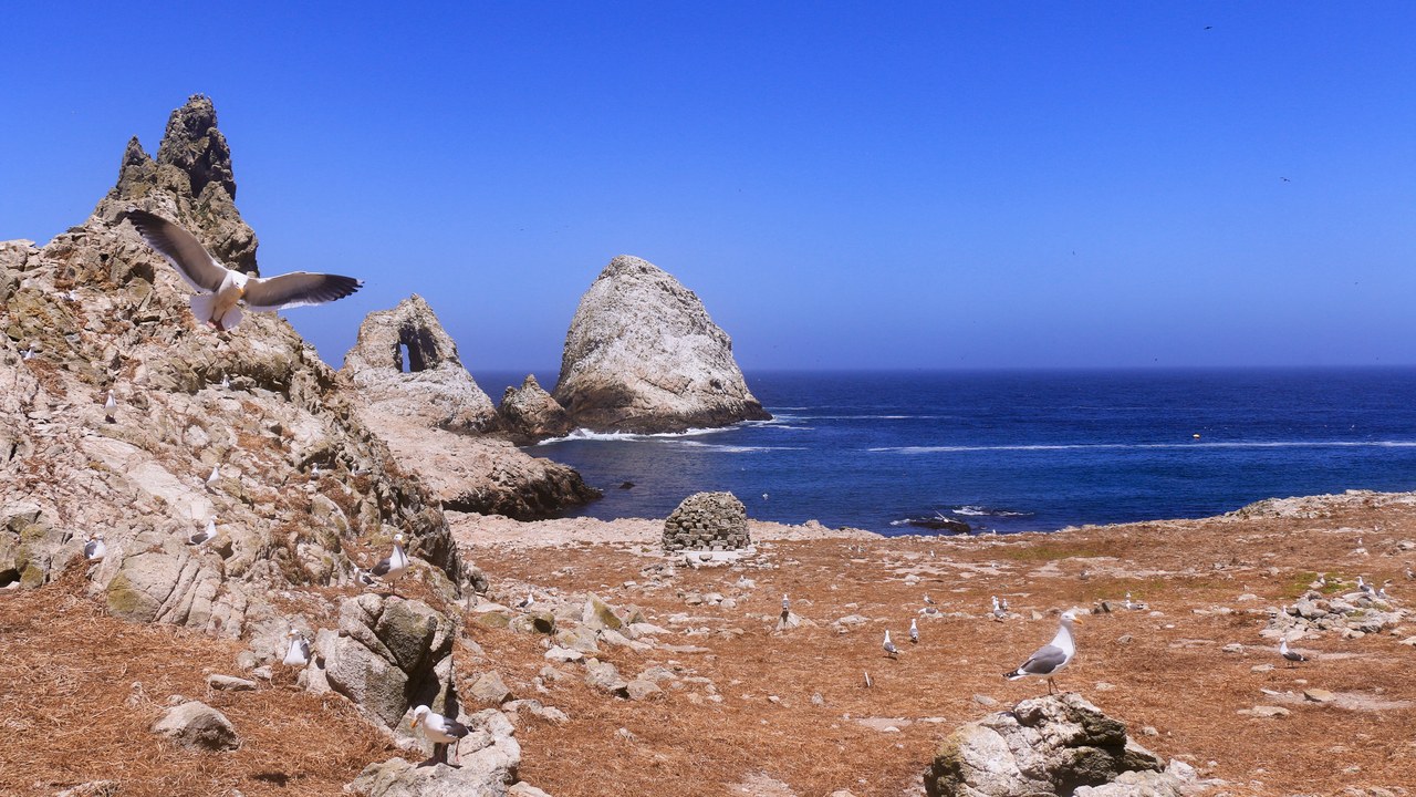
About 27 miles west of San Francisco, the granite outcrops of the Farallon National Wildlife Refuge are closed to the public, with only researchers stationed on the largest island permitted ashore. The rocks carry the biggest seabird breeding colony in the contiguous United States, and the surrounding water draws white sharks each autumn to hunt the elephant seals hauled out along the shoreline.
The seabed nearby holds a second legacy. Between 1946 and 1970 the ocean outside the Golden Gate was used as a disposal ground for low-level radioactive waste, and surveys have since mapped thousands of corroding barrels on the bottom, one more reason the area is surveyed rather than sightseen.
More from Morning Overview
Morning Overview is reader-supported. Some links in our articles are affiliate links, and we may earn a commission at no extra cost to you. As an Amazon Associate I earn from qualifying purchases. Full disclosure.