
Earthquake danger is not limited to one familiar crack in California. Across the country, plate boundaries, buried rifts, and active fault systems sit near cities, coastlines, transportation corridors, and critical infrastructure. Scientists cannot name the date of the next major rupture, but these eight fault zones help define where America’s most consequential earthquake risks remain.
1. San Andreas Fault: California’s Famous Boundary Stores Major Strain
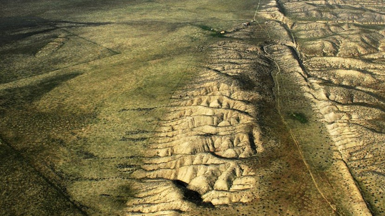
The San Andreas Fault marks the boundary where the Pacific and North American plates slide past one another across California. The USGS faults and earthquake hazards program explains how active faults generate damaging ground motion when accumulated stress overcomes friction. Long sections of the San Andreas are capable of major rupture, placing communities, roads, utilities, and water systems within a hazard corridor.
The danger is not simply a visible line splitting the ground. Shaking radiates outward, local soils can amplify motion, and surface displacement can break structures that cross the fault directly. California’s monitoring and building practices reduce risk but cannot remove it. The fault’s fame reflects both its scale and the large population living close enough to experience consequences from its next major event.
2. Cascadia Subduction Zone: A Magnitude-Nine Threat Sits Offshore
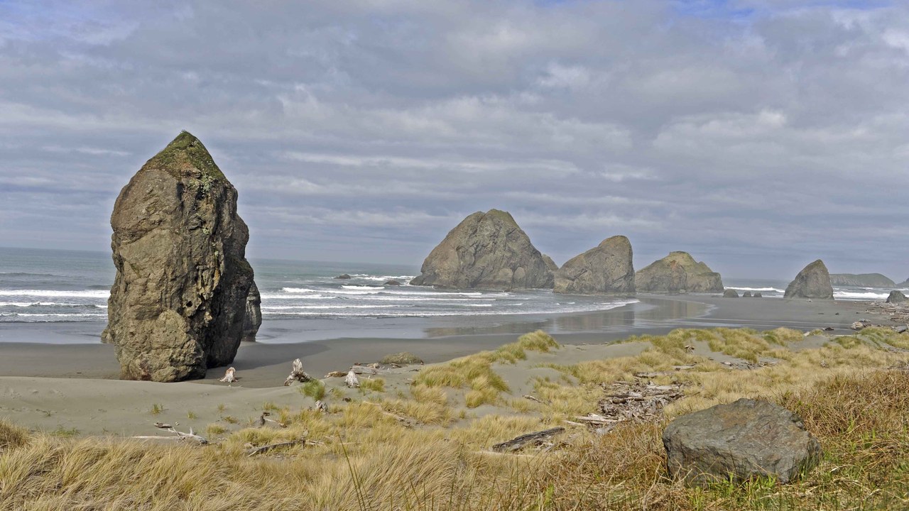
The Cascadia Subduction Zone lies offshore from northern California through Oregon and Washington toward Vancouver Island. Its tectonic setting allows one plate to descend beneath another, creating the potential for a magnitude-9 megathrust earthquake. A large rupture could produce prolonged regional shaking and displace the seafloor enough to launch a destructive Pacific tsunami toward nearby communities.
Coastal exposure makes evacuation time and route planning especially important, while inland cities face shaking, landslides, damaged bridges, and disrupted supply networks. The quiet intervals between great events can make the hazard feel abstract, yet geological evidence preserves records of earlier ruptures. Cascadia’s risk comes from the combination of enormous possible event size, vulnerable coastlines, and infrastructure spread across the Pacific Northwest.
3. New Madrid Seismic Zone: Historic Shaking Reached Far Across the Interior
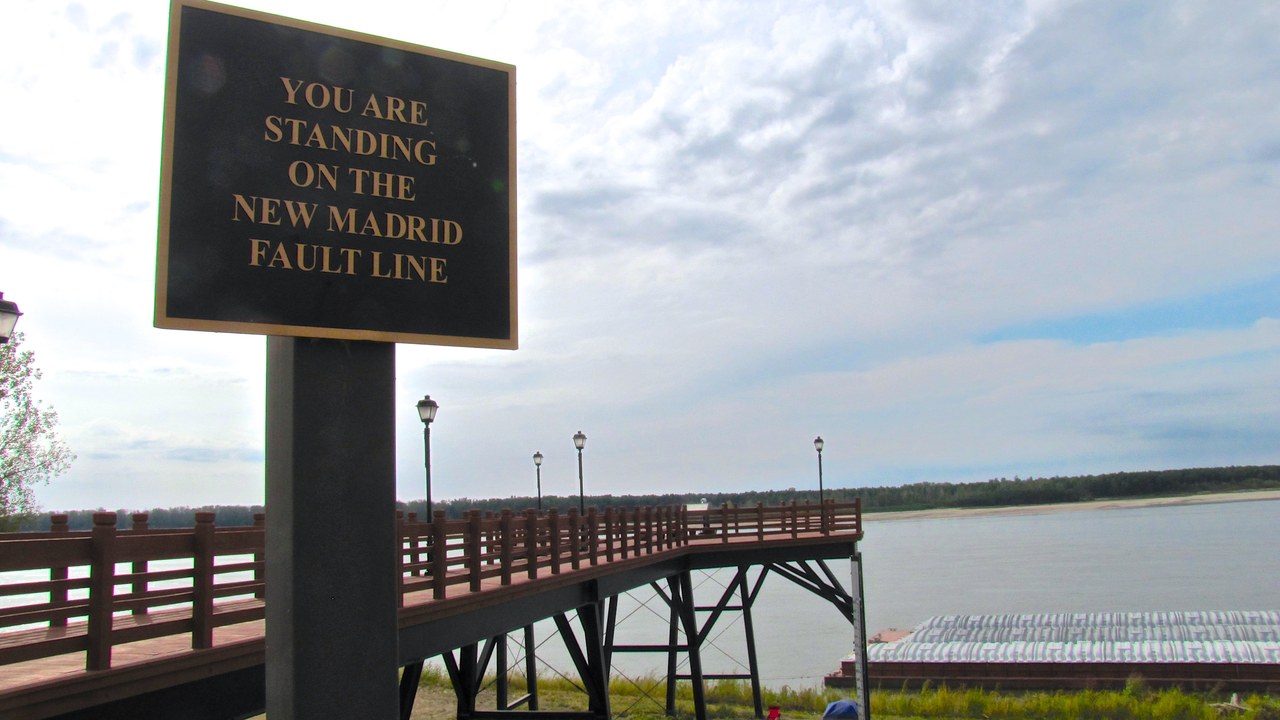
The New Madrid Seismic Zone crosses parts of the central Mississippi Valley, far from the plate boundaries that dominate earthquake maps. Its historic earthquake sequence in 1811 and 1812 produced reports of shaking, ground deformation, and effects felt hundreds of miles away. The region’s geology can transmit seismic energy over long distances, expanding the area exposed to a strong event.
Risk differs from the early nineteenth century because the central United States now contains dense networks of highways, pipelines, bridges, utilities, farms, and river commerce. Many structures were not designed around frequent strong earthquakes. New Madrid therefore represents an interior hazard with a potentially wide footprint, even though damaging events are much less common than weather emergencies. Preparedness must account for disruption across multiple states.
4. Hayward Fault: The East Bay Built Across an Active Trace
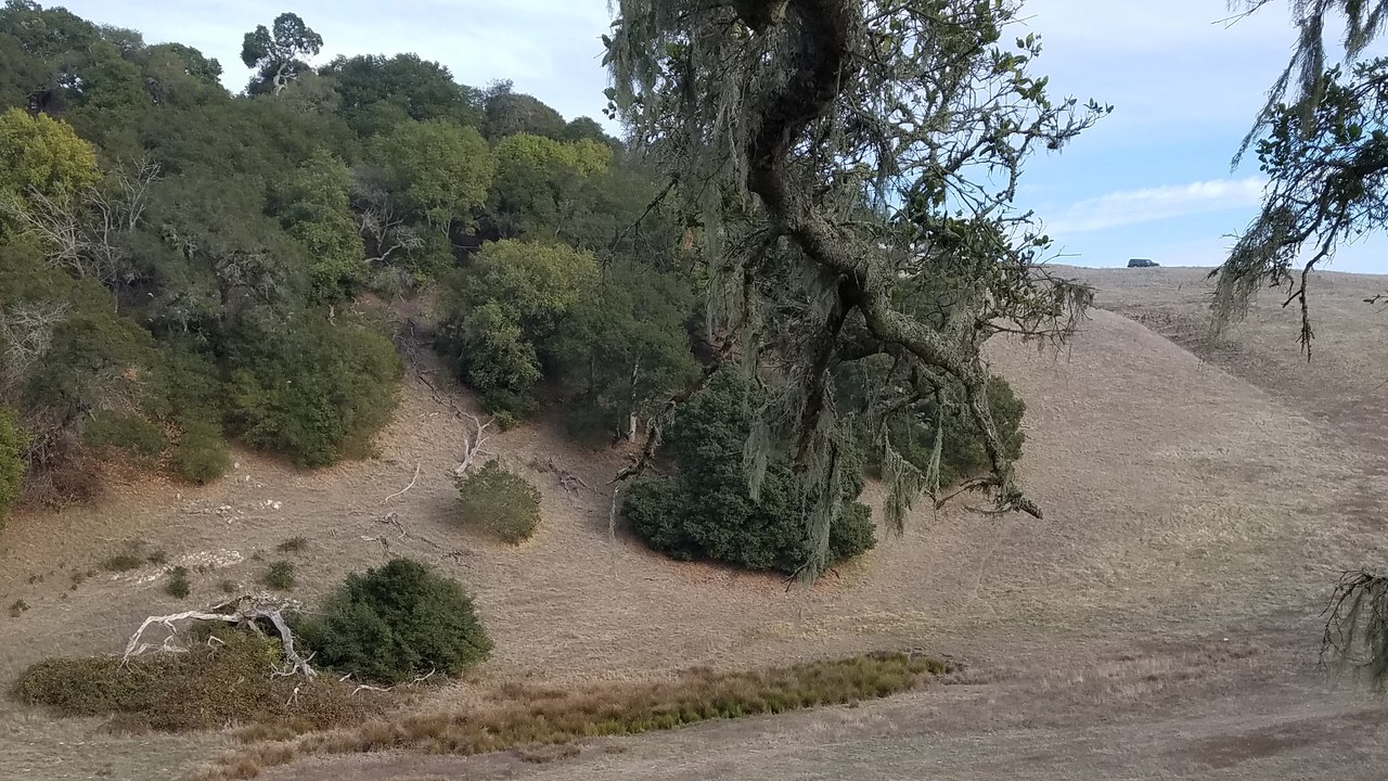
The Hayward Fault runs through the densely populated eastern side of San Francisco Bay, passing near homes, transit, campuses, utilities, and transportation routes. The Hayward Fault Zone shows why a rupture beneath an urban area can be dangerous even when the fault is shorter than California’s most famous system. Surface movement and intense nearby shaking would arrive with no warning.
Slow creep along parts of the fault can offset curbs and structures, but that visible movement does not safely release all accumulated strain. The concern is a sudden earthquake affecting interconnected Bay Area systems. Damage to one corridor can cascade into commuting, water delivery, emergency response, and commerce. Hayward’s threat is defined by proximity: extensive development sits directly on and beside the active fault zone.
5. Wasatch Fault: Utah’s Urban Front Meets a Mountain Fault
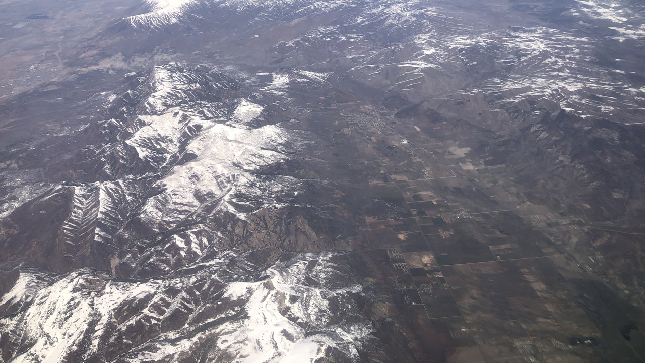
The Wasatch Fault follows the dramatic boundary between Utah’s Wasatch Range and the populated valleys along the Wasatch Front. Its fault-zone geography places Salt Lake City and other growing communities close to segments capable of strong earthquakes. The same mountain front that shapes settlement and transportation also records repeated movement over geological time, leaving the urban corridor exposed to nearby shaking.
A major event could damage older masonry, roads, lifelines, and buildings on soils that respond poorly to intense motion. Mountain slopes add landslide and rockfall concerns, while valley sediments can amplify shaking or lose strength. Wasatch risk is therefore a combination of rupture potential and rapid population growth beside the trace. Modern construction helps, but preparedness must include infrastructure built under earlier standards.
6. Denali Fault: A 2002 Rupture Demonstrated Its Power
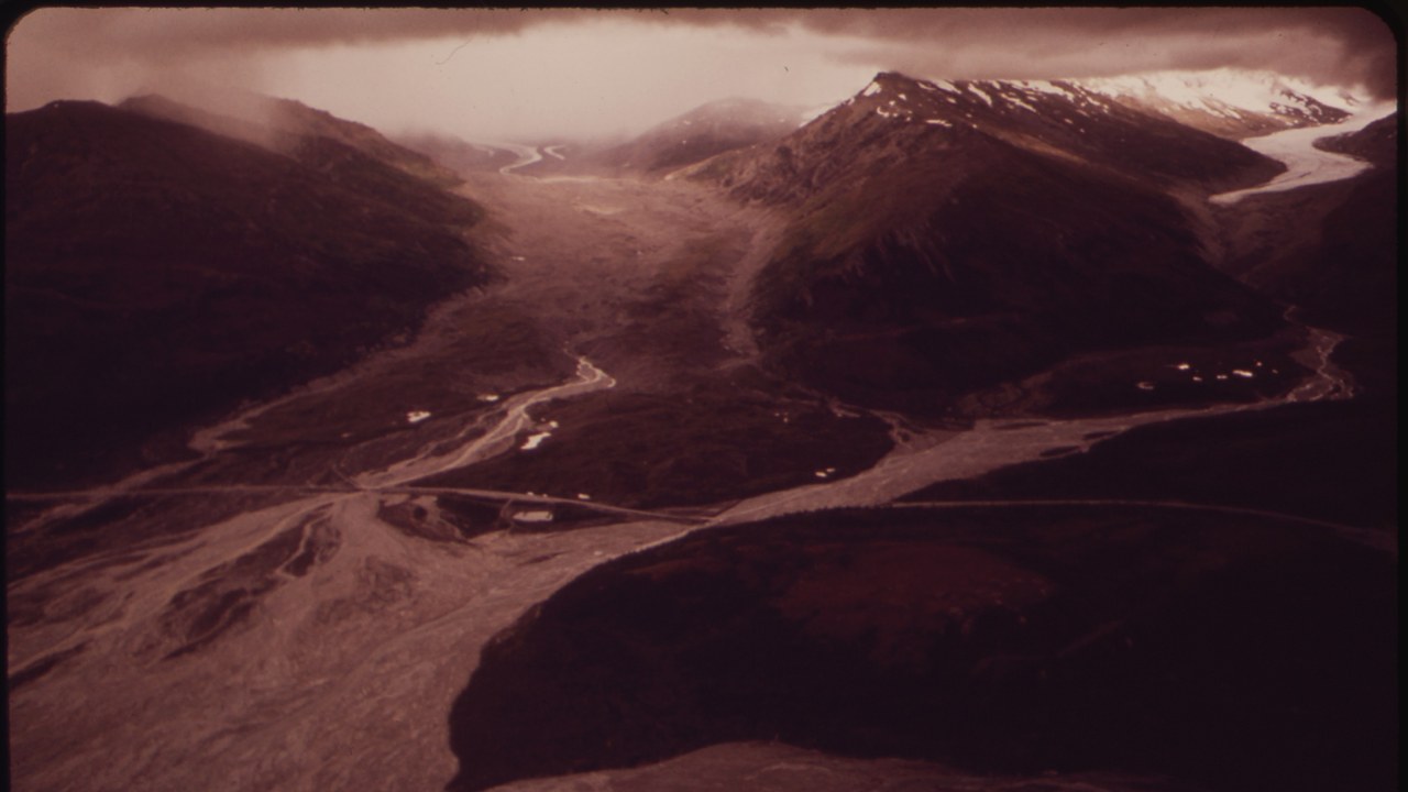
The Denali Fault cuts across Alaska’s rugged interior and produced a magnitude-7.9 earthquake in 2002. The Denali Fault record documents a powerful rupture that displaced the ground across a long distance and tested critical infrastructure in remote terrain. The event provided a modern demonstration of how quickly a large strike-slip earthquake can propagate through linked fault sections.
Sparse population reduced some urban consequences, but remoteness creates different vulnerabilities. Roads, pipelines, air access, communications, and emergency operations can be difficult to repair across mountains and severe weather. Alaska’s experience also gives engineers valuable evidence about designing infrastructure that crosses active faults. Denali remains a major hazard because its demonstrated capacity is not hypothetical; the landscape still carries the physical record of recent rupture.
7. Ramapo Fault: An Old Fault Zone Sits Near Dense Development
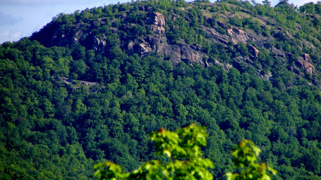
The Ramapo Fault is part of a long fault zone extending near densely settled portions of the northeastern United States. The Ramapo Fault record shows why faults must be evaluated through geology, mapped structures, and seismic evidence rather than proximity alone. Ramapo attracts attention because even moderate shaking near New York and New Jersey would encounter a concentration of buildings, transportation, utilities, and people.
The region’s risk does not mirror California’s, and a mapped ancient fault is not a forecast of imminent rupture. Consequences still matter where older masonry, tunnels, bridges, and dense development leave little room for disruption. Ramapo belongs on preparedness lists because Northeast earthquakes can be felt broadly and because low-frequency hazards often receive less attention than storms, floods, or coastal emergencies.
8. Reelfoot Rift: A Buried Rift Helps Explain New Madrid
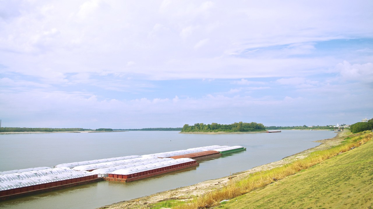
The Reelfoot Rift is a buried geological structure beneath the central United States and is associated with the New Madrid earthquake region. Its rift history reaches back to an episode of continental splitting, leaving weaknesses in the crust that later stress can exploit. Because the structure is buried, its significance comes from geophysical evidence and earthquake patterns rather than a visible crack.
Reelfoot helps explain why powerful earthquakes can occur within a continent, far from a modern plate edge. It also complicates risk communication because the controlling geology is invisible at the surface. Communities experience rivers, farmland, wetlands, and towns while the responsible structure lies below. Mapping that hidden framework improves models of where shaking originates and how it could spread through the Mississippi Valley.
More from Morning Overview
