
Disaster response begins with understanding what is happening across terrain that may be dangerous, remote, or hidden by weather. Satellites supply repeated observations while storms develop, fires spread, and rain or snow changes the landscape below. Here are five satellite missions that can reveal critical conditions before response teams reach the ground.
1. Landsat 9: A Repeating Record of a Changing Landscape
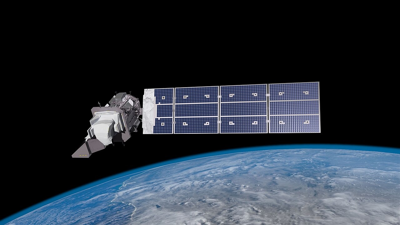
Landsat 9 contributes repeated imagery of Earth’s land, giving analysts a consistent way to compare conditions before and after a hazard changes the surface. A single picture can show where damage exists, but a continuing record adds context: it can reveal which areas changed, how far the change extends, and whether the affected footprint is still evolving across a region.
That perspective is valuable when roads are blocked, terrain is difficult to cross, or a response team can inspect only a small portion of the affected area. Landsat is not an emergency crew and its observations do not replace local reports, but its broad view can help agencies organize field work around evidence rather than incomplete visibility. The mission’s strength lies in continuity, because the same landscape can be evaluated against earlier observations instead of judged in isolation after disaster strikes.
2. GOES-16: A Fixed Watch Over Developing Storms
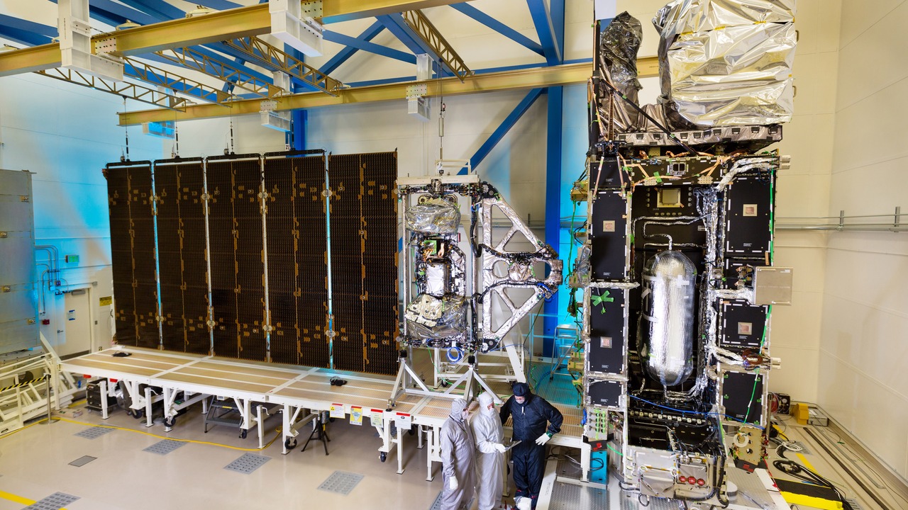
GOES-16 belongs to the geostationary weather-satellite system that keeps continuous watch on storms as they develop. Remaining over the same broad region allows the satellite to observe change repeatedly instead of waiting for another orbital pass. That steady view helps reveal movement, growth, and structure while dangerous weather is still unfolding across places that responders may not yet be able to enter.
Continuous observation matters because severe weather can reorganize quickly, making an older image less useful for decisions on the ground. GOES-16 does not determine a local response by itself; forecasters combine its observations with radar, models, warnings, and reports. Its role is to reduce blind spots at the scale of an entire weather system. Before crews reach damaged communities, the satellite can already show how the larger storm is behaving and where conditions remain active.
3. Global Precipitation Measurement: Rain and Snow Become a Hazard Map
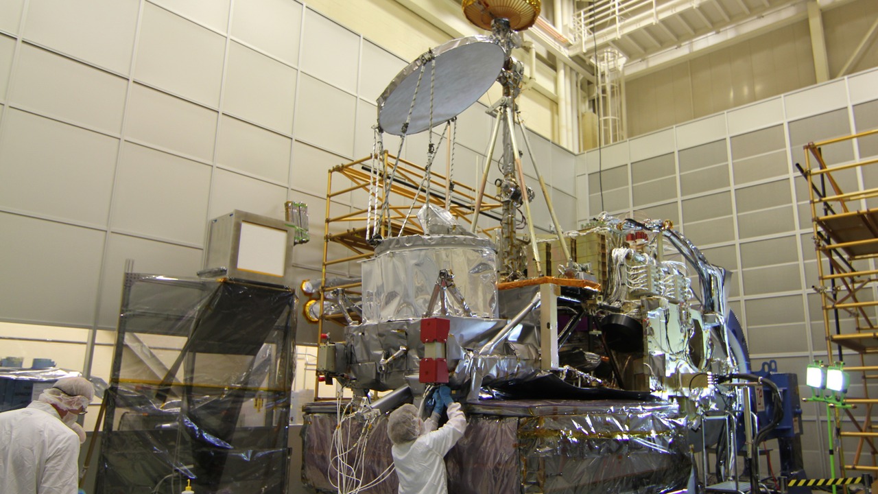
The Global Precipitation Measurement mission maps rain and snow that can contribute to floods and landslides. Measuring precipitation across wide areas helps show where water is accumulating even when gauges are sparse or access is limited. That does not make every heavy rain event a disaster, but it identifies one of the forces that can rapidly turn steep slopes, rivers, and low-lying communities dangerous.
Precipitation information becomes most useful when it is combined with terrain, river conditions, soil behavior, forecasts, and local observations. The satellite mission supplies a broad layer of evidence rather than a street-level verdict about safety. For responders, that distinction still carries practical value: areas receiving intense or sustained precipitation can receive earlier scrutiny while reports from the ground are incomplete. The mission effectively turns an invisible regional pattern into measurements that disaster teams can compare and prioritize.
4. NISAR: Radar Compares the Ground Before and After Disaster
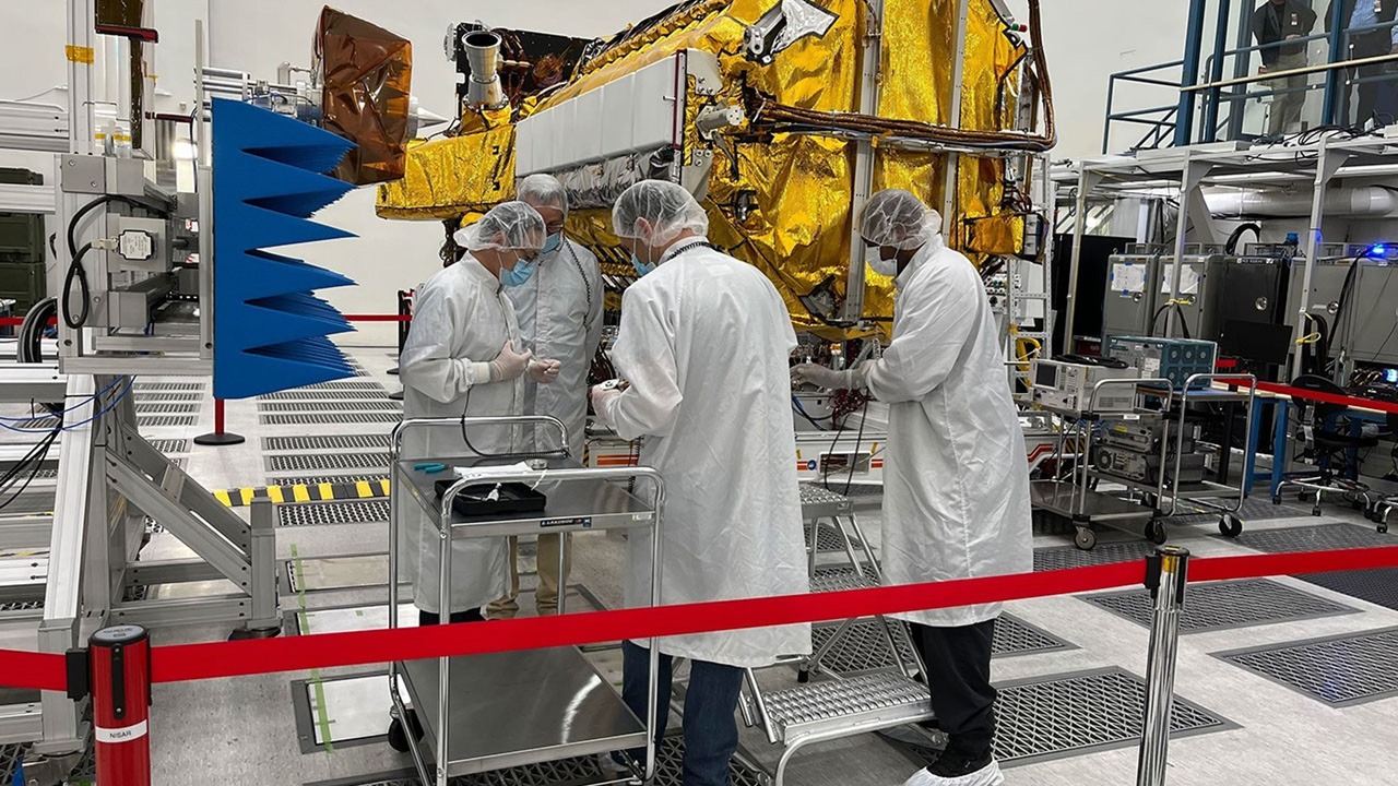
NISAR’s rapid global coverage is designed to support disaster response with observations collected before and after major events. Its radar can measure changes in Earth’s surface associated with earthquakes, volcanic eruptions, and landslides. Those comparisons can help analysts map deformation or damage across areas that may be unsafe, obstructed, or too large for responders to inspect immediately from the ground.
The mission does not predict every disaster or replace field confirmation. Its value comes from supplying a consistent regional layer quickly enough to assist mitigation and damage assessment. Radar measurements can also reveal subtle ground movement within the wider hazard cycle, giving researchers evidence about how vulnerable terrain changes over time. When a major event occurs, that combination of broad coverage and repeat observation can guide closer attention toward places where the surface shows the clearest disruption.
5. Suomi NPP: One Polar Orbit Tracks Several Threats
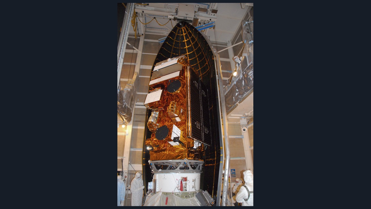
Suomi NPP is a polar-orbiting satellite that tracks fires and smoke along with storms and nighttime lights. That range lets the mission observe different signals tied to disasters rather than concentrating on one hazard alone. Fire activity can be paired with the movement of smoke, while storm observations and changes visible after dark can provide another layer of awareness across a large affected region.
A polar-orbiting satellite does not stare continuously at one location, so its role differs from a geostationary platform such as GOES-16. Its strength is repeated coverage across broad swaths of the planet with instruments that reveal several environmental conditions. Responders still need local confirmation and operational intelligence, but Suomi NPP can show patterns that individual teams cannot see from the ground. That early regional picture can help identify where closer assessment is most urgent and where hazards extend beyond the visible incident boundary.
This article was produced with the assistance of AI and reviewed by Morning Overview editors prior to publication.
More from Morning Overview
- A Colorado wildfire has exploded past 87,000 acres with no containment
- A wildfire near Ouray swelled past 18,000 acres, putting Colorado towns on alert
- The Pentagon’s newest UFO files describe a fish-scaled, potato-shaped object on camera
- Scientists spotted a rare tusked whale alive at sea for the first time, then fired a crossbow at it.
