
Modern seismographs have measured tens of thousands of earthquakes since 1900, but only a handful crossed into truly historic territory. USGS ranks the planet’s most powerful ruptures by magnitude, from Pacific subduction zones to a fault deep inside Asia. Here are thirteen quakes that top magnitude 8.6, the highest ever instrumentally recorded.
1. Valdivia, Chile: The Strongest Quake Ever Measured
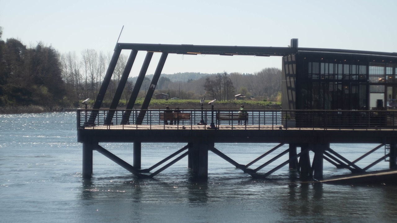
The magnitude 9.5 rupture that struck off the coast of Valdivia on May 22, 1960, remains the most powerful earthquake ever measured anywhere on the planet, according to the USGS event record for the Bio-Bio, Chile earthquake.
No instrument since has logged a larger release of seismic energy, and the shaking triggered a Pacific-wide tsunami that carried destruction far beyond Chile’s own coastline, from the port city of Valdivia down the length of the southern shore. The event tops the USGS ranking of the twenty largest earthquakes recorded anywhere since 1900, a record it has held for more than six decades.
2. Prince William Sound, Alaska: North America’s Biggest Recorded Quake
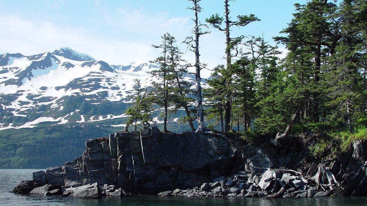
Alaska’s Prince William Sound produced a magnitude 9.2 earthquake on March 28, 1964, still the largest ever instrumentally recorded in North America, per the USGS record for the Good Friday quake.
The shaking buckled Anchorage’s Fourth Avenue, triggered landslides across the city, and set off a series of tsunamis that raced around the Gulf of Alaska and struck communities along the Pacific coast. More than sixty years later, the event still ranks second on the USGS list of the planet’s twenty largest earthquakes since 1900.
3. Northern Sumatra, 2004: The Quake Behind The Deadliest Tsunami
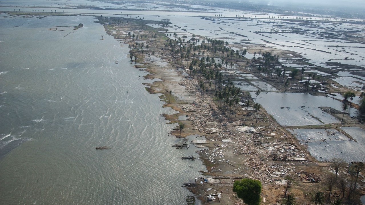
A magnitude 9.1 rupture off the coast of northern Sumatra on December 26, 2004, unleashed the Indian Ocean tsunami, an event documented in the USGS Sumatra-Andaman event page under the name the Sumatra-Andaman Islands earthquake.
Waves radiated across the entire Indian Ocean basin and flattened whole neighborhoods as far away as Banda Aceh on Sumatra’s northern tip, with the disaster still counted among the deadliest natural events in modern history. The quake sits third on the USGS ranking of the twenty largest earthquakes recorded since 1900.
4. Rikuzentakata, Japan: The Quake That Overwhelmed Fukushima
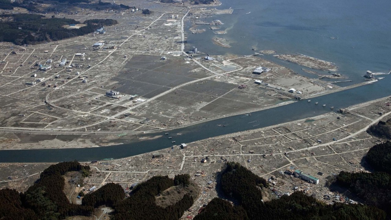
The coastal city of Rikuzentakata in Japan’s Tohoku region was struck by a magnitude 9.1 earthquake on March 11, 2011, an event recorded on the USGS Honshu earthquake page as striking near the east coast of Honshu.
The resulting tsunami swept across Rikuzentakata’s waterfront and dozens of other coastal towns, then overwhelmed the Fukushima Daiichi nuclear plant, triggering a meltdown that reshaped Japan’s energy policy for a generation. The quake ranks fourth on the USGS list of the twenty largest earthquakes recorded since 1900.
5. Avachinsky Volcano, Kamchatka: A Pacific Monster That Reached Hawaii
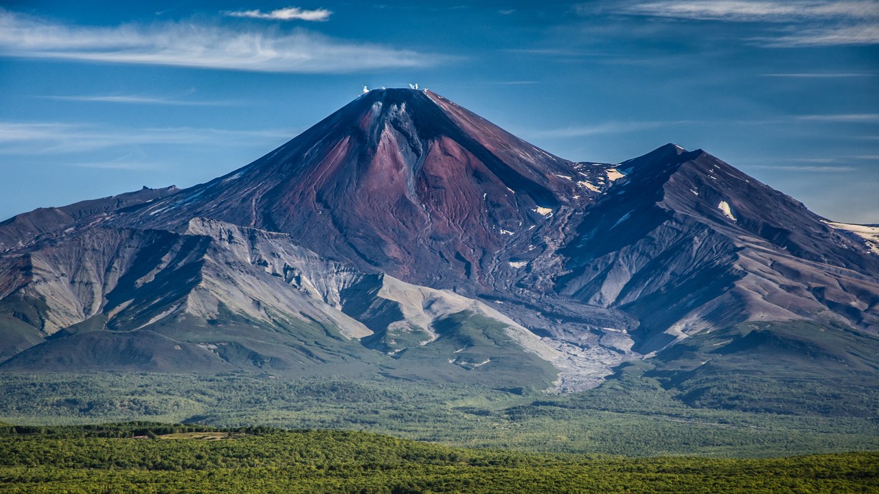
Off the east coast of Russia’s Kamchatka Peninsula, home to the towering Avachinsky volcano, a magnitude 9.0 earthquake struck on November 4, 1952, an event cataloged in the USGS record for the Kamchatka earthquake.
The rupture sent a tsunami racing clear across the open Pacific, and the waves arrived with enough force to cause damage as far away as Hawaii, thousands of miles from the rugged Kamchatka coastline where the quake began. The event ranks fifth on the USGS list of the twenty largest earthquakes recorded since 1900.
6. Concepción, Chile: The Quake That Toppled New High-Rises
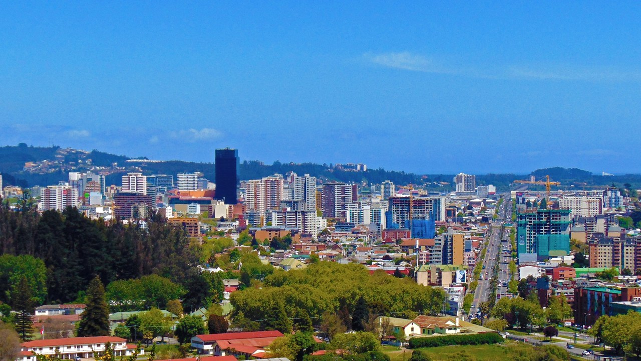
A magnitude 8.8 earthquake struck offshore of Chile’s Bio-Bio region on February 27, 2010, an event the USGS lists as the Maule earthquake.
The shaking reached the nearby city of Concepción, toppling recently built apartment towers and damaging structures across a large swath of central Chile, a stark reminder that even modern high-rise construction is not immune to a rupture of this scale. It left the earthquake ranked sixth on the USGS list of the twenty largest recorded since 1900.
7. Esmeraldas, Ecuador: A Century-Old Coastal Rupture
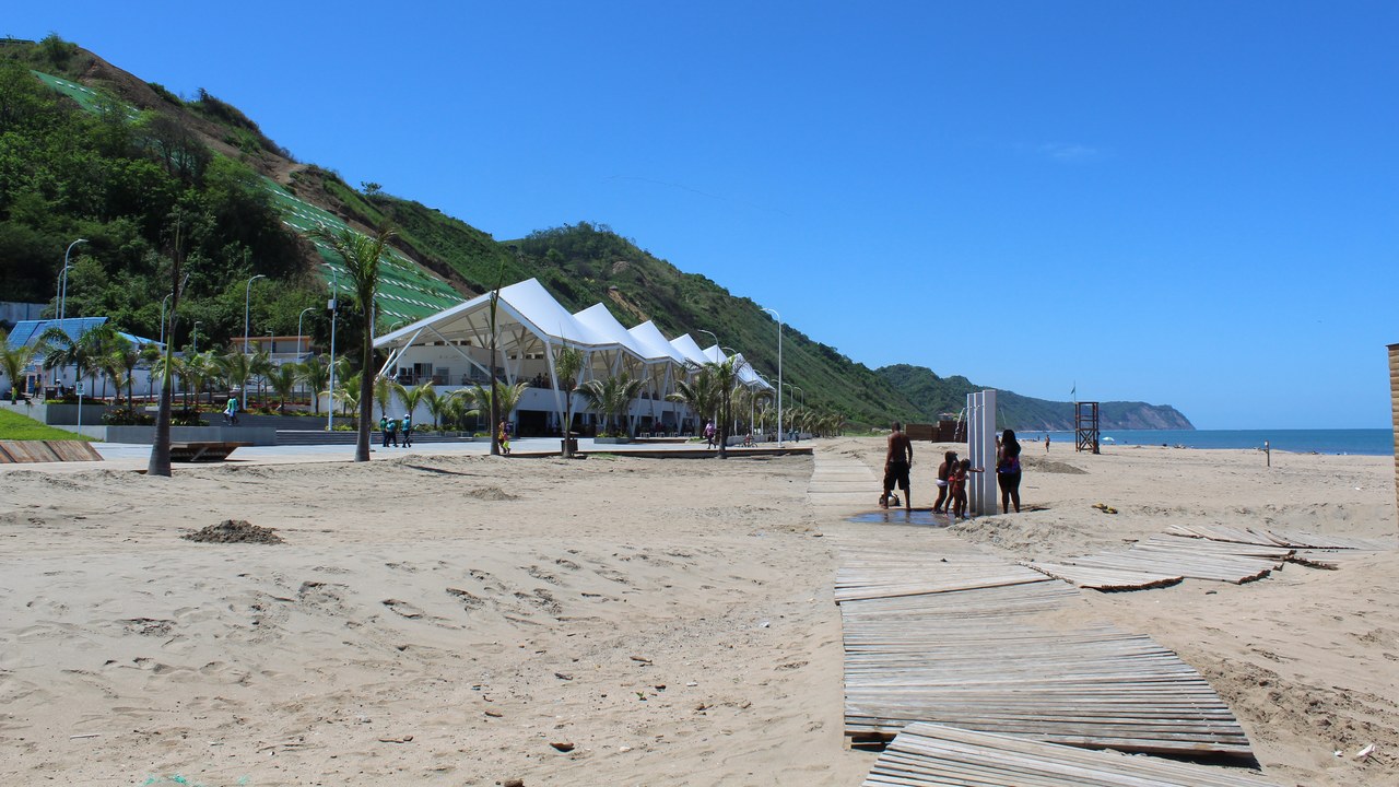
Off the coast of Ecuador near the port of Esmeraldas, a magnitude 8.8 earthquake struck on January 31, 1906, recorded on the USGS page for the 1906 Ecuador-Colombia earthquake.
More than a century later, long before modern seismic monitoring existed, the rupture still ranks seventh on the USGS list of the twenty largest earthquakes measured since 1900, tied in magnitude with the far more recent Maule earthquake in Chile. Its size was reconstructed from historical records rather than digital instruments.
8. Kiska, Alaska: An Aleutian Rupture In A Near-Empty Chain
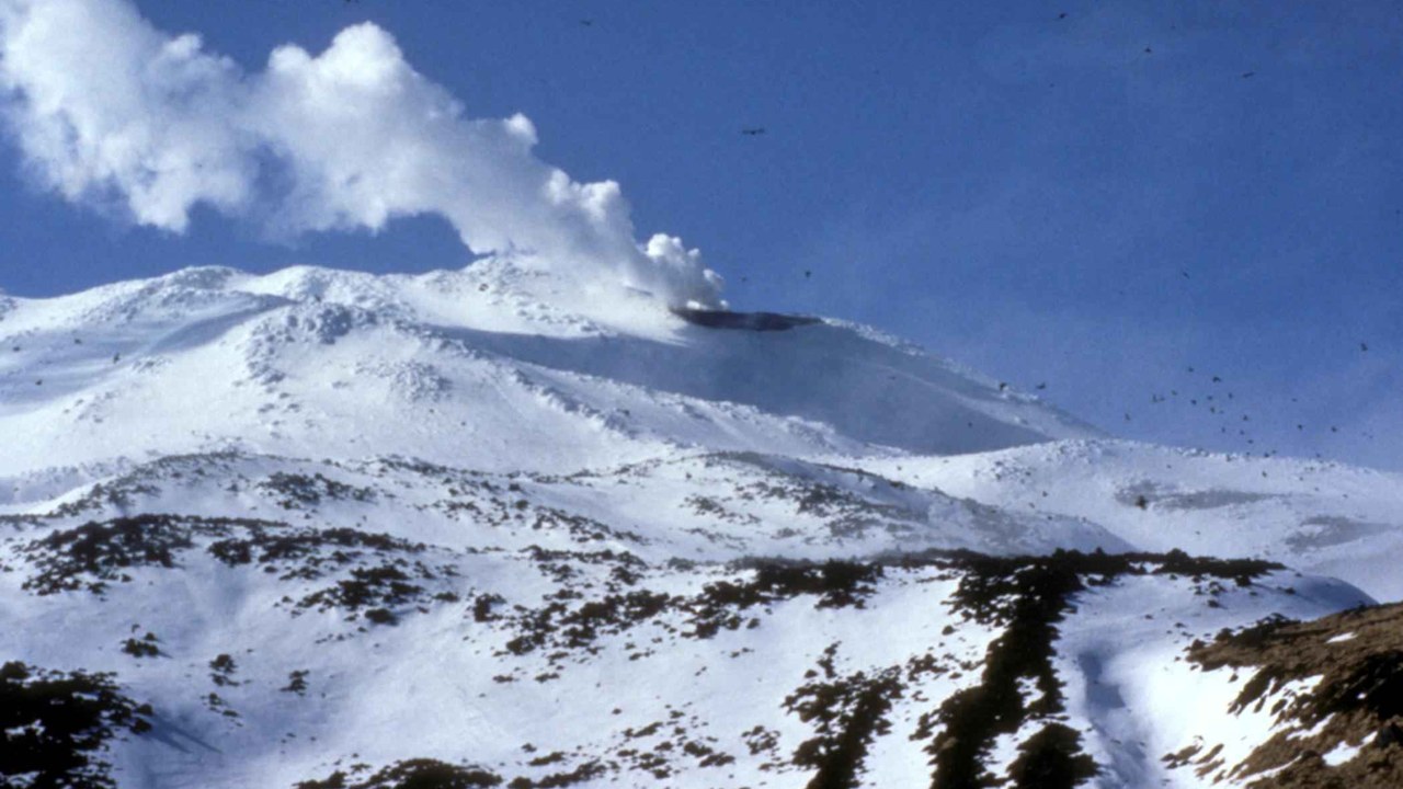
A magnitude 8.7 earthquake struck the Rat Islands in Alaska’s remote Aleutian chain on February 4, 1965, an event logged on the USGS Rat Islands event page.
The group’s islands, including Kiska, are largely uninhabited windswept outcrops far from any major city, so the rupture caused little of the destruction seen elsewhere on this list even though its energy release was enormous. The quake still ranks eighth on the USGS list of the twenty largest earthquakes recorded since 1900.
9. Guwahati, Assam: A Monster Quake Far From Any Trench
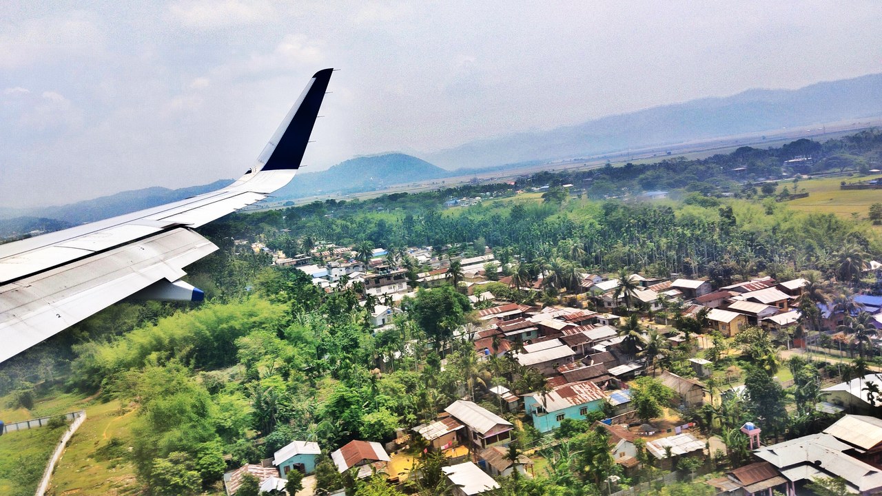
A magnitude 8.6 earthquake struck the Assam-Tibet border region on August 15, 1950, an inland event documented on the USGS eastern Xizang-India border page.
Unlike most entries on this list, the rupture struck hundreds of miles from any ocean trench, deep inside a mountainous, tectonically active stretch of Asia, shaking the Brahmaputra valley region that includes the city of Guwahati. It ranks ninth on the USGS list of the twenty largest earthquakes recorded since 1900.
10. Northern Sumatra, 2012: The Same Seafloor, Eight Years Later
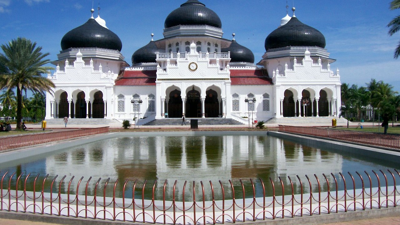
The same stretch of seafloor near northern Sumatra ruptured again on April 11, 2012, this time at magnitude 8.6, according to the USGS executive summary for the event.
The quake struck roughly eight years after the catastrophic 2004 disaster shook the same coastline, this time producing a strike-slip rupture rather than the earlier megathrust event, and it did not generate a comparable tsunami. It ranks tenth on the USGS list of the twenty largest earthquakes recorded since 1900.
11. Nias, Indonesia: A Second Blow Three Months Later

Nias Island off the coast of northern Sumatra was hit by a magnitude 8.6 earthquake on March 28, 2005, recorded on the USGS Nias earthquake page.
The quake struck barely three months after the 2004 disaster had already devastated the wider region, shaking communities across Nias Island that were still recovering from the earlier catastrophe and had barely begun to rebuild. It ranks eleventh on the USGS list of the twenty largest earthquakes recorded since 1900.
12. Adak Island, Alaska: Another Aleutian Wave That Reached Hawaii
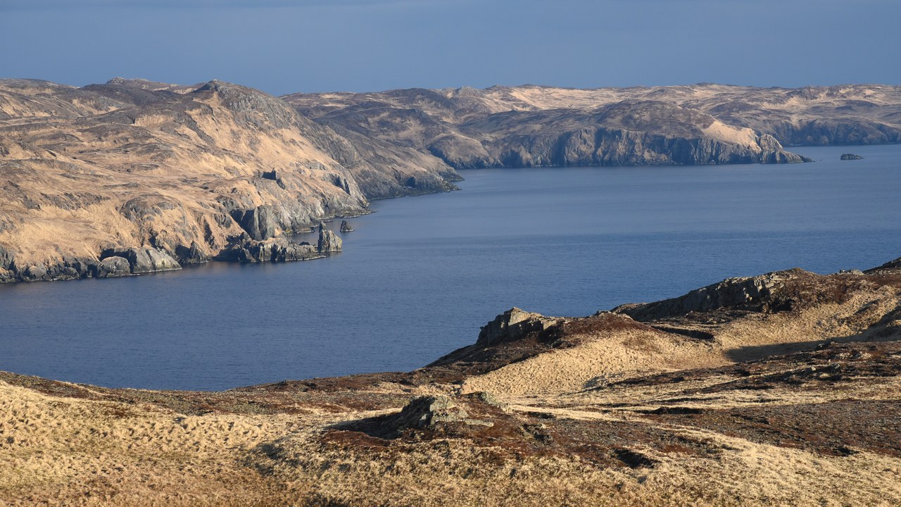
Alaska’s Andreanof Islands, anchored by Adak Island, were struck by a magnitude 8.6 earthquake on March 9, 1957, logged on the USGS Andreanof Islands event page.
The rupture sent a tsunami across the Pacific that reached Hawaii, echoing the far larger 1952 Kamchatka quake five years earlier and underscoring how often this stretch of the Aleutians produces basin-spanning waves. It ranks twelfth on the USGS list of the twenty largest earthquakes recorded since 1900.
13. Unimak Island, Alaska: The Quake That Erased A Lighthouse
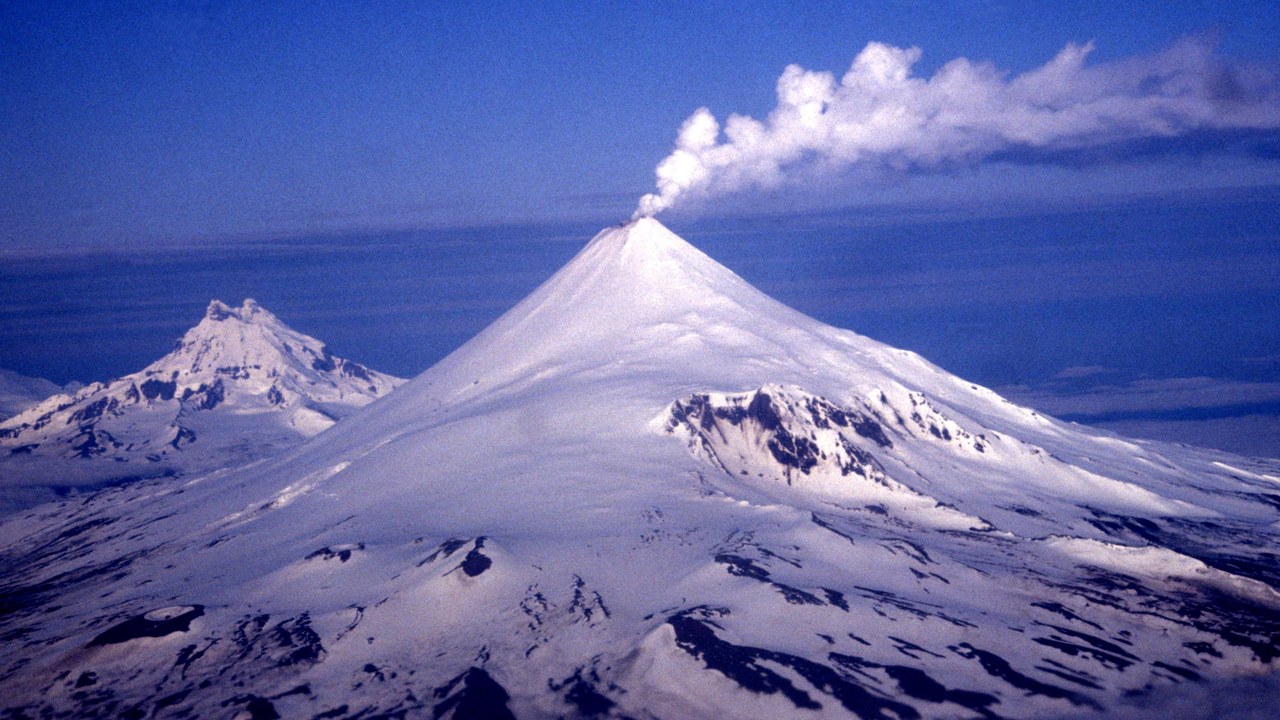
South of Alaska’s Unimak Island, a magnitude 8.6 earthquake struck on April 1, 1946, an event documented on the USGS Unimak Island page.
The resulting tsunami destroyed the Scotch Cap lighthouse perched on the island’s rocky cliffs and went on to strike Hawaii hours later, an event that helped push the United States toward building a Pacific tsunami warning system. The quake closes out the USGS list of the twenty largest earthquakes recorded since 1900.
