
Rising seas and recurring floods are already testing places that Americans treat as national touchstones. Reports from the National Park Service, NOAA and the Union of Concerned Scientists name lighthouses, forts, historic towns, a spaceport and wetlands as exposed. Here are ten landmarks where the water is a present concern.
Help yourself and the planet: The Cool Down makes it easy to help yourself while helping the planet, with smart, simple changes to save more and waste less in your everyday life.
We may earn a commission if you sign up.
1. Cape Hatteras Lighthouse: Lighthouse On The Move
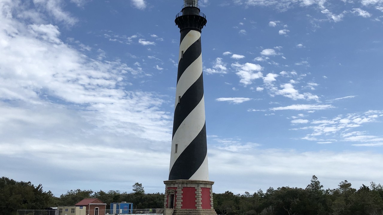
The Cape Hatteras Lighthouse stood 1,500 feet from the sea in 1870 and only 120 feet away by 1970. The 4,830-ton tower was then moved 2,900 feet southwest in 1999, according to the National Park Service.
The relocation shows one response to an eroding shoreline: moving the landmark instead of defending its original spot. The history of the tower is a measured record of the ocean closing in over a century. Few landmark moves have been as large or as carefully planned, and the project remains a leading example of managed retreat from the shoreline for a historic structure.
2. Jamestown, Virginia: Settlement Site At Risk
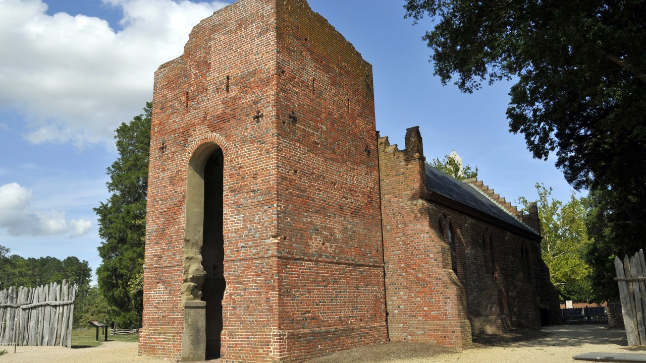
The Union of Concerned Scientists report said the site of Jamestown, Virginia, the first permanent English settlement, is likely to be submerged by rising seas by the end of the century.
The statement is a projection from a 2014 assessment, not a measured outcome. A site defined by its exact ground poses a different problem from a tower that can be relocated, because the history is tied to that place. The assessment appeared in a report that surveyed many historic sites, and it was meant to draw attention to places whose loss would be hard to reverse once the water arrives.
3. Fort Monroe: Island Unto Itself
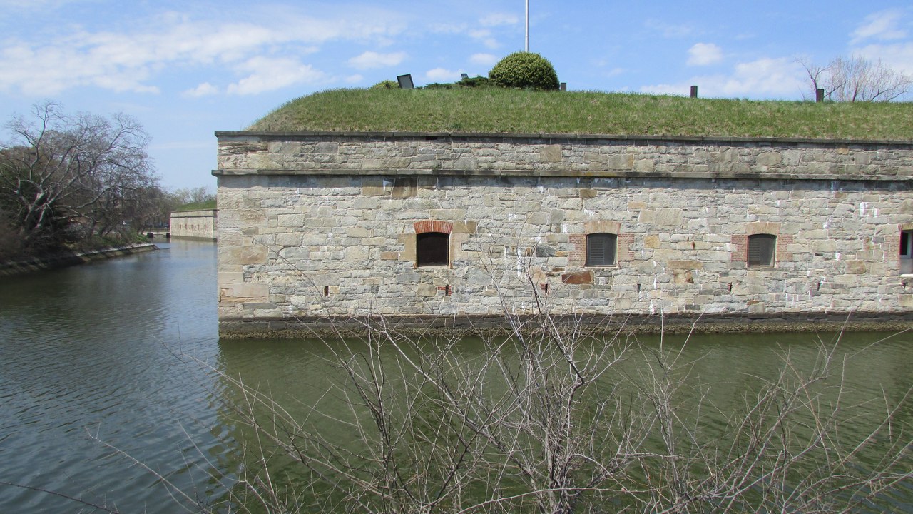
The Union of Concerned Scientists said Fort Monroe in Virginia “will become an island unto itself within 70 years.” The quote comes from the group’s 2014 landmarks report.
The 70-year horizon was set from the report’s date, so it describes a projection rather than a certainty. Still, the phrase captures how a fort built to guard the water could end up surrounded by it. For that reason the report is often cited as an example of how climate projections can be translated into the fate of a single, recognizable place that visitors know well.
4. Kennedy Space Center: Dunes Breached By Surge
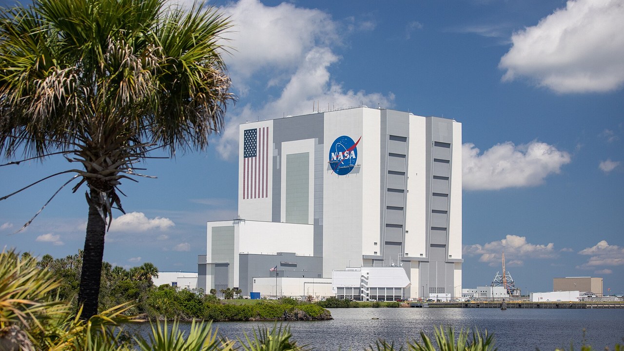
The Union of Concerned Scientists reported that storm surges regularly breach the dunes near the launch pads at Kennedy Space Center, undoing restoration work.
The finding shows that even a heavily engineered federal site depends on natural coastal defenses. Repeated breaches mean that repairs to the dunes must compete with the storms that damage them. Launch infrastructure is built close to the coast for practical reasons, so the same location that makes the site useful also makes it vulnerable to the sea and to storm surge.
5. Annapolis historic district: Waterfront Historic District
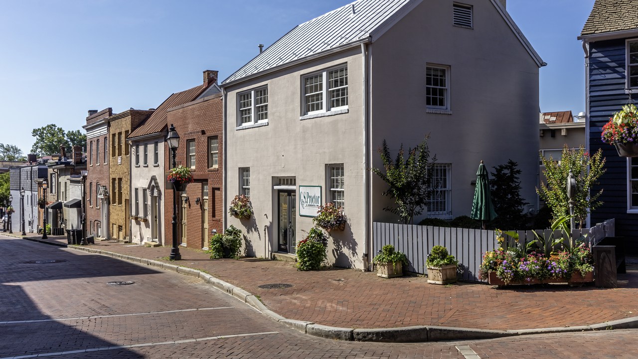
The Union of Concerned Scientists listed the Annapolis historic district among historic districts endangered by rising seas and storm surge.
Waterfront towns are exposed because their character depends on staying close to the water that shaped them. The listing places the Maryland capital’s old core alongside forts and settlements facing the same pressure. Historic districts add a cultural dimension, because the buildings, streets and docks cannot be rebuilt elsewhere without losing what makes them historic. Protecting such a district means weighing the cost of defenses against the value of keeping its character intact for future residents and visitors.
6. Charleston, South Carolina: Tide Days Climb
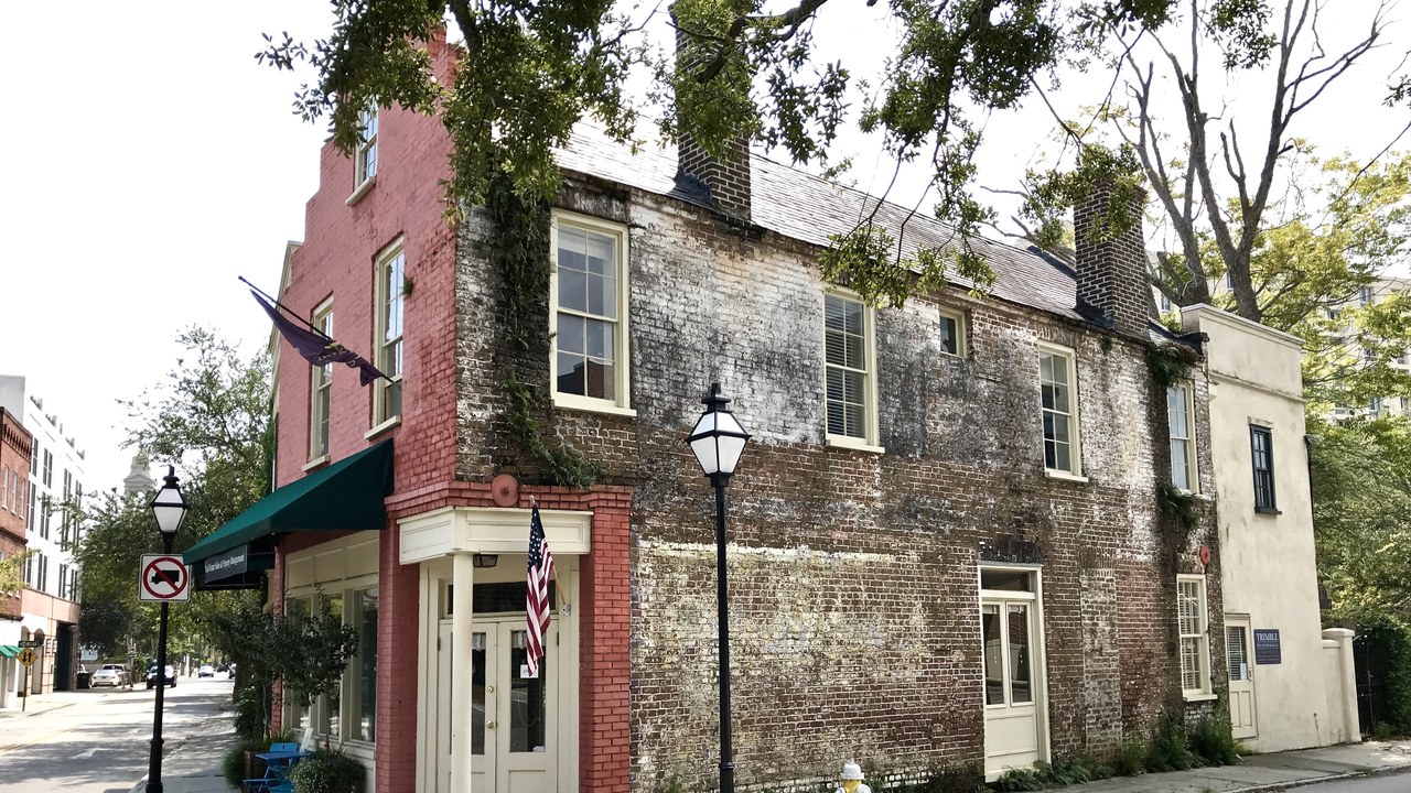
NOAA counted Charleston, South Carolina, among sites with 10 to 20 high-tide flood days in the year to April 2021, compared with 0 to 2 in 2000.
High-tide flooding, sometimes called nuisance flooding, happens when ordinary tides spill into streets without a storm. The jump from a couple of days to double digits shows how a slow rise in sea level changes daily life. Repeated flooding of this kind can close roads, damage property and disrupt businesses, which turns what was once a rare event into a recurring cost for residents and visitors.
7. Galveston, Texas: Record Flood Days
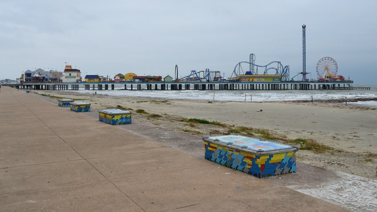
Galveston, Texas, was one of three sites that set a record of more than 20 days of high-tide flooding, in the year from May 2020 to April 2021, NOAA reported.
The record measures flooding on days with ordinary tides, not hurricane surges. For an island city already protected by a seawall, the count shows that sea-level rise adds a steady burden on top of storm risk. Reports of this kind give planners data they can use to decide where to build barriers, raise roads or relocate infrastructure, so the numbers are practical as well as symbolic.
8. Corpus Christi, Texas: Twenty Days And Counting
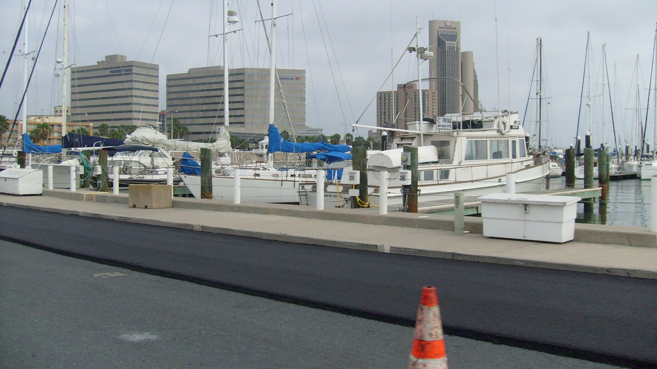
Corpus Christi, Texas, also logged more than 20 high-tide flood days in the year to April 2021, versus 2 to 3 a year two decades earlier, NOAA said.
Together with Galveston, the Texas port shows the Gulf Coast leading the national record. The comparison across two decades is what makes the change legible, because a single count says little without a baseline. Because the number of days is counted at a tide gauge, it is an objective measure that can be compared from year to year, which makes it a reliable signal of a changing coast.
9. Gateway National Recreation Area (Sandy Hook): Sandy Floodwater Lesson
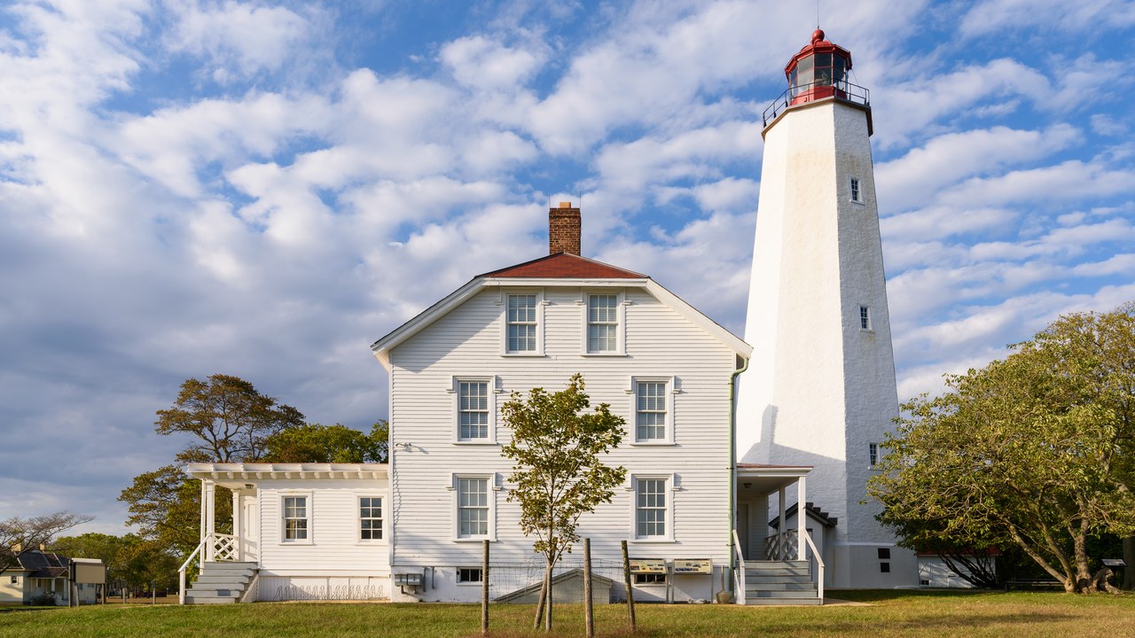
Hurricane Sandy flooded parts of Gateway National Recreation Area and Fire Island with more than eight feet of water, so Fort Hancock moved utilities to higher floors, the National Park Service says.
Moving utilities upward is a practical adaptation that keeps old buildings in use. The Sandy Hook site shows a response that accepts future floods and works around them instead of trying to hold the water back. The National Park Service has used the experience to plan for future storms, and the example has become a case study for other coastal parks that preserve old buildings.
10. Everglades National Park: Low Park Surrounded
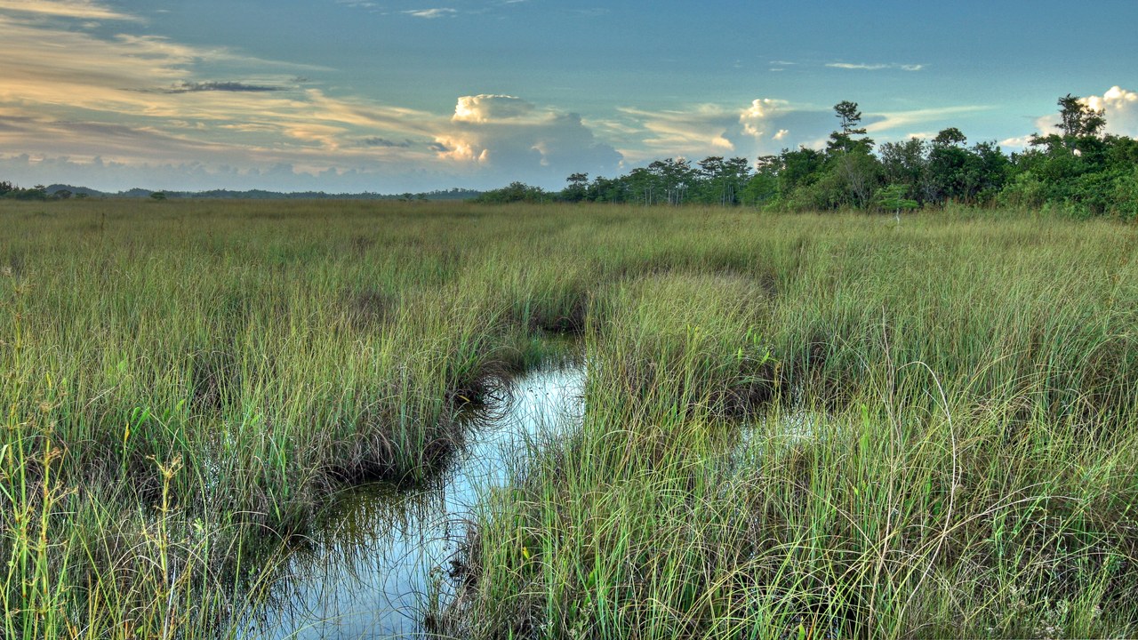
The National Park Service says Everglades National Park is low-lying and surrounded by seas, and that sea-level rise is already changing the landscape.
Because the park sits barely above the water, small changes in sea level can reach far inland. The agency’s wording treats the change as something under way rather than a distant forecast. Wetlands depend on a delicate balance between fresh and salt water, so changes in sea level can alter plants, wildlife and the shape of the park over time.
Help yourself and the planet: Get The Cool Down →
We may earn a commission if you sign up.
More from Morning Overview
- Long use of a common prostate pill is tied to a higher chance of glaucoma
- Ford is recalling 223,472 F-150 pickups because the fuel tank can leak or detach
- Hybrids have 15% fewer problems than gas cars, while EVs and plug-in hybrids have about 80% more, Consumer Reports finds
- Regulators cleared the first U.S. small modular reactor, 4 months early
