From the West Coast to the Mississippi Valley and the Southeast, some of America’s biggest cities were built squarely on top of active earthquake faults. Their residents live with a hazard that is easy to forget until the ground moves. These ten cities sit closest to some of the nation’s most dangerous fault lines.
1. Los Angeles: Astride The San Andreas
Image Credit: Jan Schwebel/Pexels
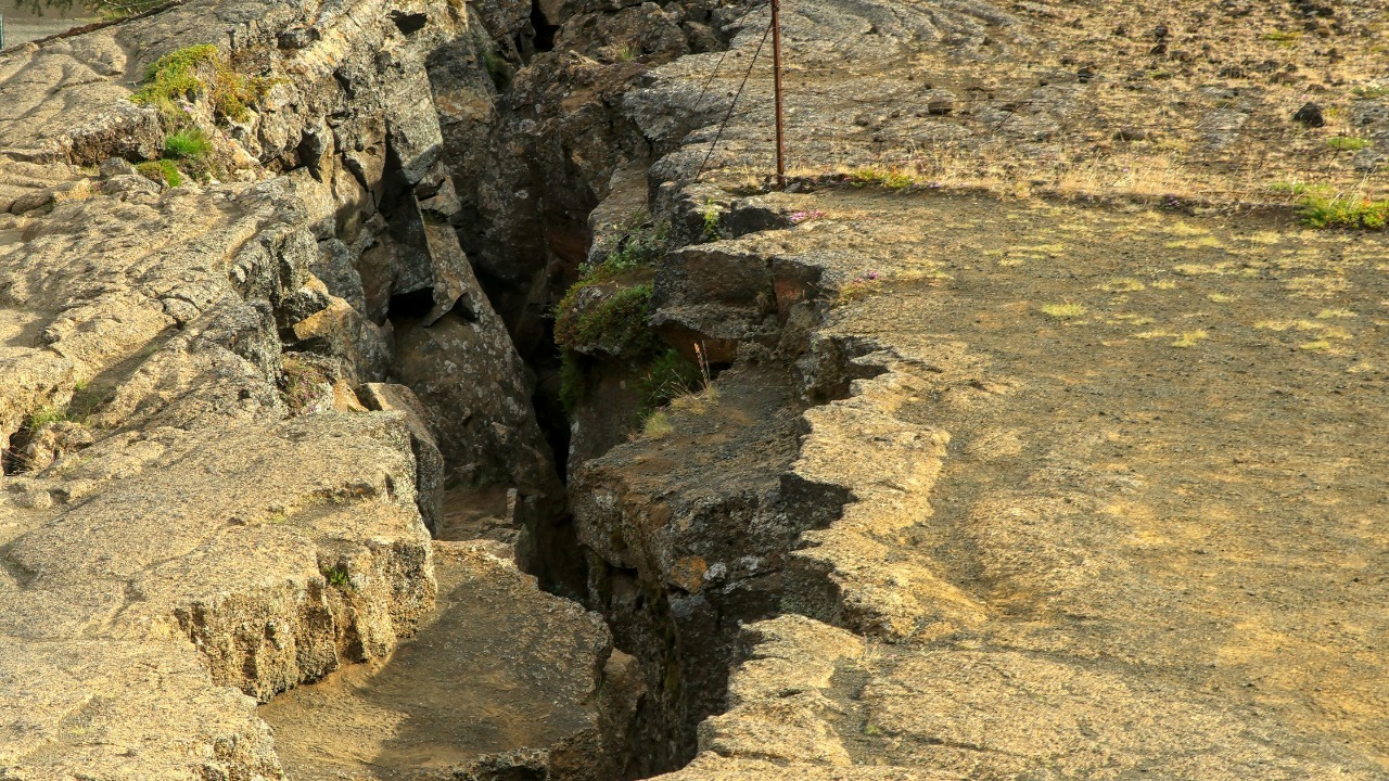
Los Angeles sits within reach of the San Andreas Fault, the roughly 800-mile boundary between the Pacific and North American plates that passes within about 35 miles of downtown. The metropolitan area is also threaded by dozens of lesser-known active faults, including the Newport-Inglewood and Puente Hills systems that run directly beneath dense neighborhoods.
Seismologists have long warned that a major rupture on the southern segment could shake the region for well over a minute, disrupting water, power and transportation lines that cross the fault. For the millions who live and work here, the hazard is less a question of if than when.
2. San Francisco: Caught Between Two Faults
Image Credit: Thewellman – CC0/Wiki Commons
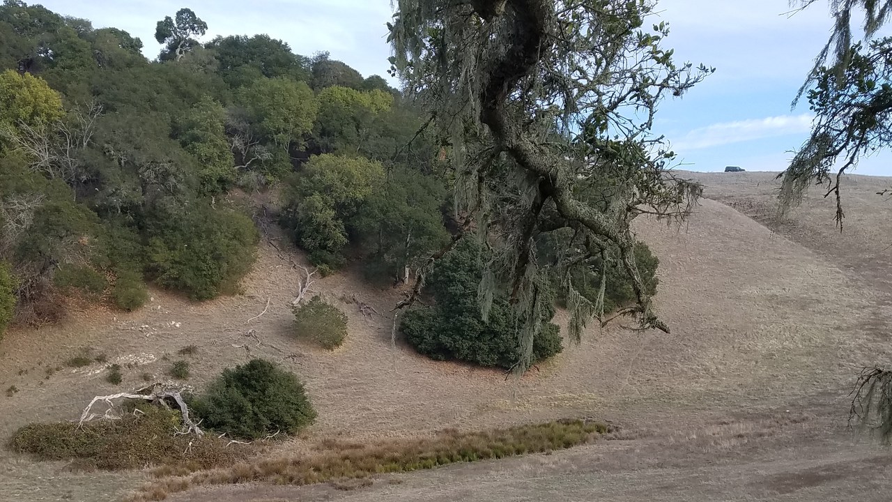
San Francisco is squeezed between two of California’s most dangerous faults: the San Andreas offshore to its west and the Hayward Fault Zone running through the East Bay hills. The 1906 earthquake that destroyed much of the city originated on the San Andreas, rupturing nearly 300 miles of the plate boundary.
The Hayward line is considered especially menacing because it slices through a densely built corridor and has produced major quakes on a roughly 150-year cycle. Its last big rupture came in 1868, placing the region well inside the window geologists watch.
3. Seattle: A Fault Right Underfoot
Image Credit: Jeffery Hayes – CC BY-SA 3.0/Wiki Commons
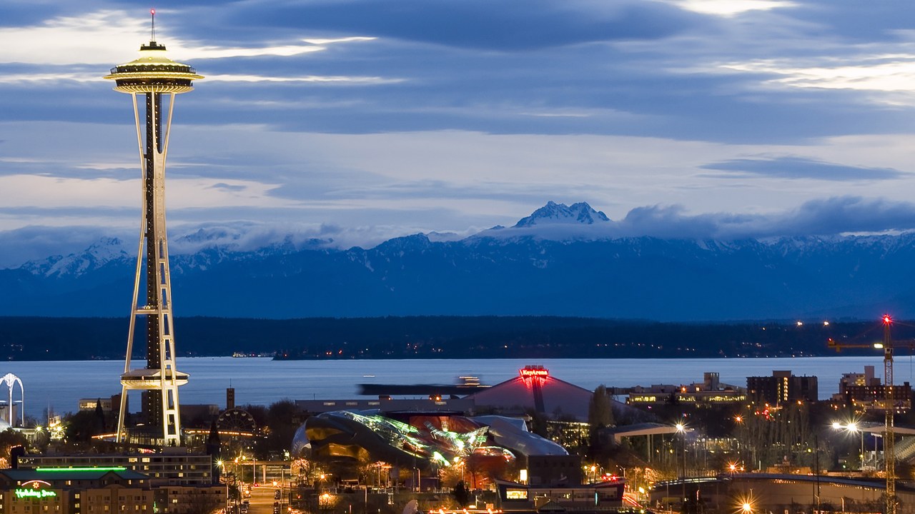
Seattle straddles the shallow Seattle Fault, an east-west zone that cuts directly beneath the city and its harbor. Because the fault lies so close to the surface, even a moderate rupture could deliver violent shaking with almost no advance warning.
Geologists have found evidence that the fault unleashed a massive earthquake around 900 AD, lifting shorelines and triggering a tsunami in Puget Sound. A repeat today would threaten a metropolitan region that has grown enormously since that last known event.
4. Memphis: The Overlooked Midwest Menace
Image Credit: Brian Stansberry – CC BY 4.0/Wiki Commons
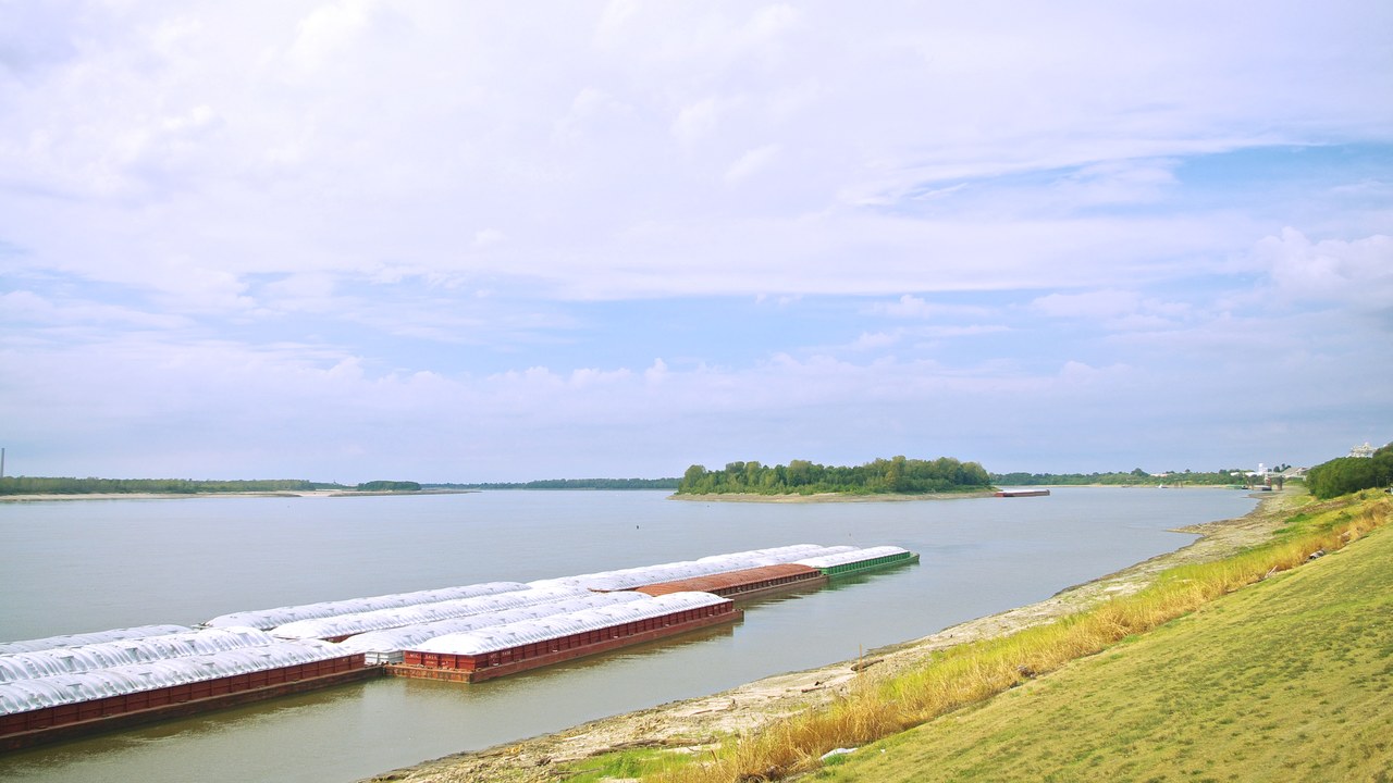
Memphis lies near the New Madrid Seismic Zone, the source of the catastrophic 1811-1812 earthquakes that rank among the strongest ever recorded in the eastern United States. Those temblors were felt as far away as the East Coast and briefly reversed stretches of the Mississippi River.
Unlike California, the central U.S. crust transmits seismic energy efficiently, so a major New Madrid quake could damage buildings across several states. Much of Memphis was constructed before modern seismic codes, leaving a large inventory of vulnerable structures.
5. Salt Lake City: An Overdue Wasatch Rupture
Image Credit: GoingsOn-YT – CC0/Wiki Commons
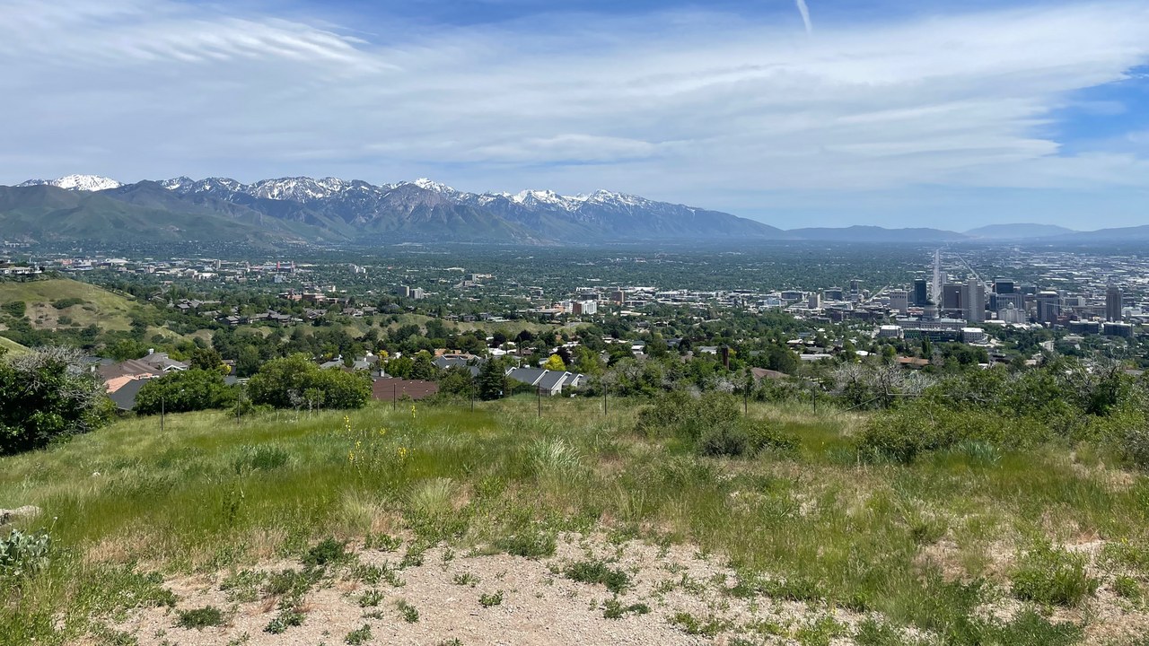
Salt Lake City is built directly along the Wasatch Fault, a roughly 240-mile system running at the base of the Wasatch Range where the mountains meet the valley. Its Salt Lake City segment has not produced a major earthquake in well over a thousand years and is considered overdue by geologists.
A rupture here could generate shaking near magnitude 7 beneath a rapidly growing metropolitan area sitting partly on soft lake sediments that amplify ground motion. State studies warn such an event could damage tens of thousands of buildings and displace many residents.
6. Anchorage: North America’s Strongest Quakes
Image Credit: Dennis Cowals – Public domain/Wiki Commons
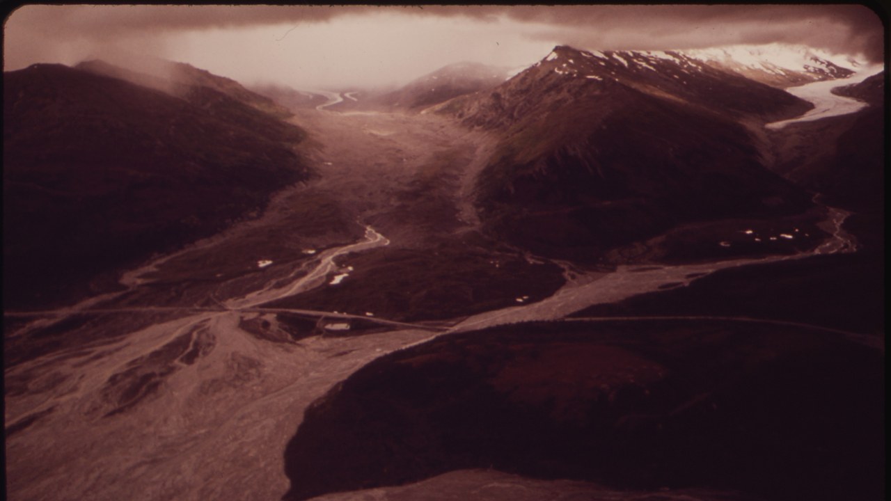
Anchorage faces a double threat from the offshore megathrust that produced the 1964 Great Alaska Earthquake and inland crustal breaks such as the Denali Fault. That 1964 event, at magnitude 9.2, remains the most powerful quake ever recorded in North America.
The Denali Fault itself ruptured in 2002 at magnitude 7.9, one of the largest inland quakes in decades, though sparse population limited the damage. Anchorage’s mix of subduction and crustal hazards keeps it among the most seismically exposed cities in the country.
7. Portland: In Cascadia’s Shadow
Image Credit: Gentry George, U.S. Fish and Wildlife Service – Public domain/Wiki Commons
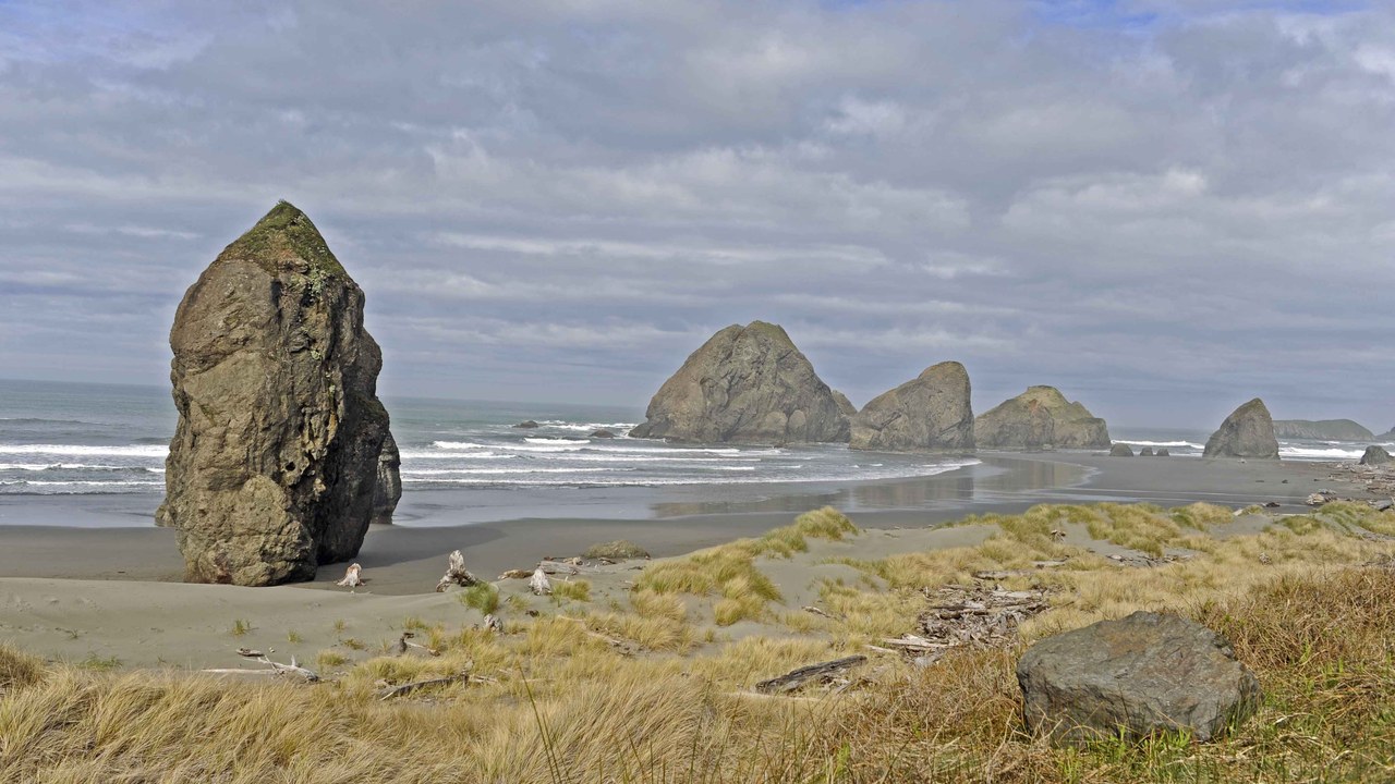
Portland sits within the danger zone of the Cascadia Subduction Zone, an offshore fault where the Juan de Fuca plate dives beneath North America along the Pacific Northwest coast. Geologic records show it last ruptured in January 1700, generating a magnitude 9 earthquake and a tsunami that reached Japan.
Scientists estimate a significant chance of another great Cascadia quake within the next several decades, an event that could badly damage bridges, pipelines and older buildings throughout the region. Portland’s inland location offers little protection from the prolonged shaking such a rupture would bring.
8. Charleston: Scarred By 1886
Image Credit: Unknown – Public domain/Wiki Commons
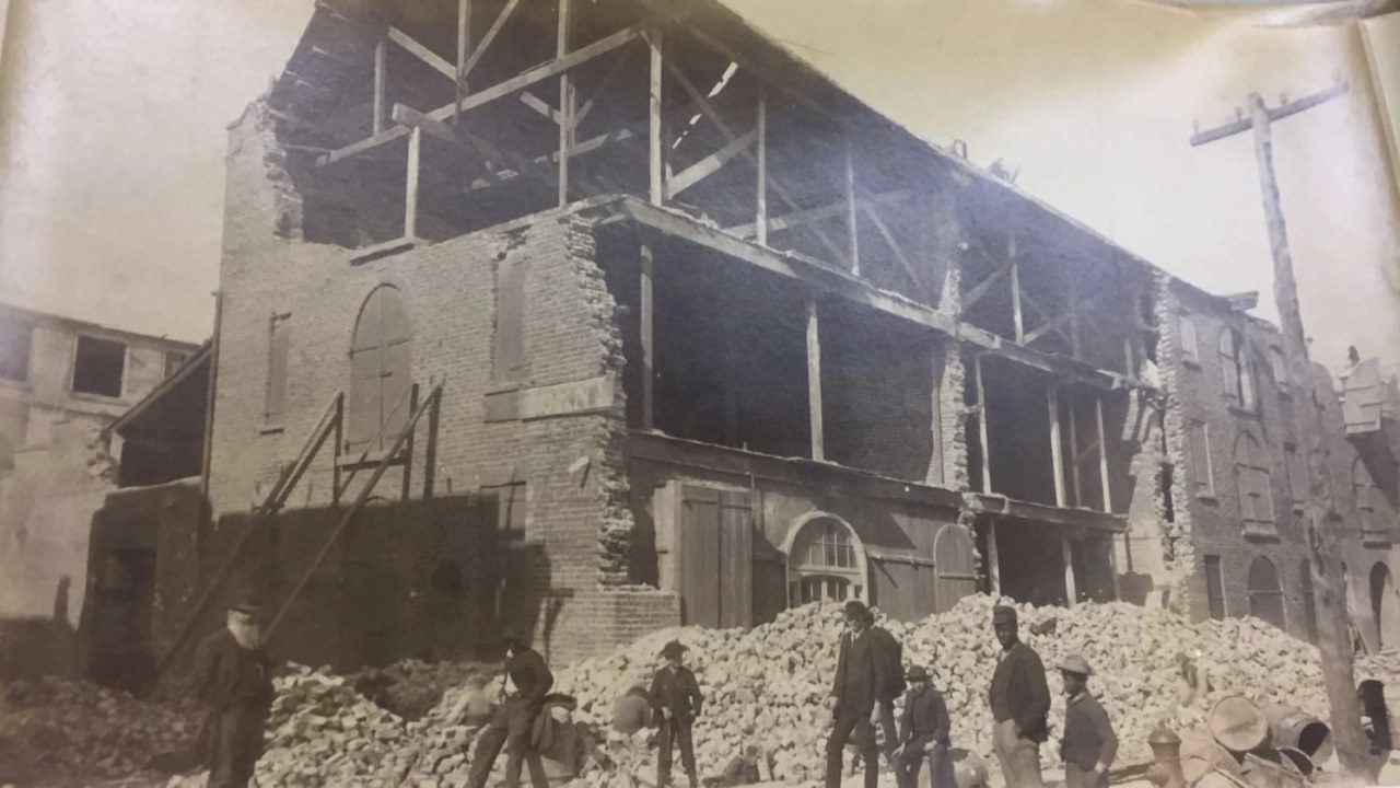
Charleston was struck by the 1886 Charleston earthquake, an estimated magnitude 7 event that killed roughly 60 people and damaged much of the historic city. It ranks among the most powerful quakes ever recorded in the eastern United States and was felt across more than a dozen states.
Because the region lies far from a plate boundary, the specific faults responsible remain poorly understood, complicating efforts to gauge future risk. Seismologists nonetheless regard another damaging quake as possible, and many of Charleston’s cherished older buildings were never engineered to withstand one.
9. San Jose: Silicon Valley On The Calaveras
Image Credit: Song Toàn Võ – CC BY-SA 4.0/Wiki Commons
San Jose sits near the Calaveras Fault as well as the southern reach of the Hayward system, two active branches of the greater San Andreas network. The Calaveras runs along the eastern edge of the Santa Clara Valley and has produced moderate earthquakes throughout the region’s recorded history.
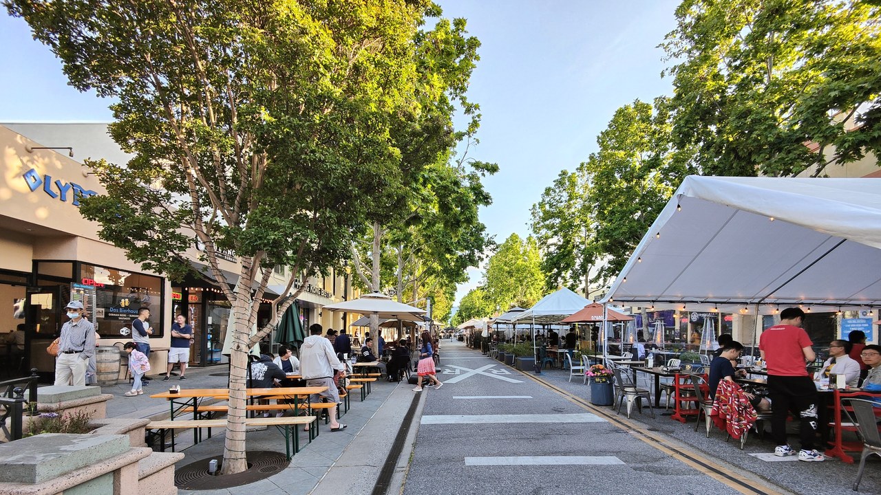
As the largest city in the Bay Area and the heart of Silicon Valley, San Jose concentrates enormous population and economic value atop this fault country. A significant rupture could disrupt technology infrastructure with consequences reaching far beyond California.
10. Oakland: Straight Over The Hayward
Image Credit: Rybkovich – CC BY-SA 4.0/Wiki Commons
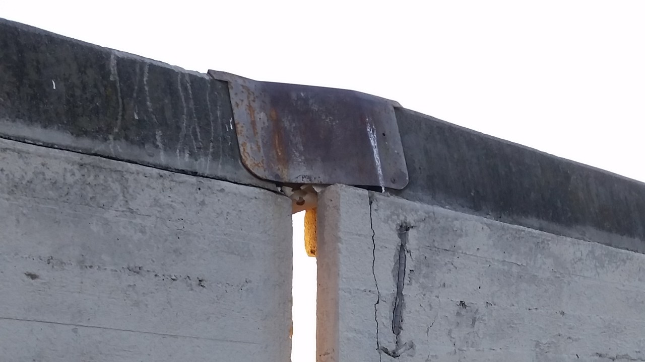
Oakland sits almost directly on top of the Hayward Fault, which runs the length of the East Bay hills and passes beneath stadiums, reservoirs and thousands of homes. The U.S. Geological Survey considers it one of the faults most likely to produce a destructive earthquake in the coming decades.
Its last major rupture came in 1868, and studies of past quakes suggest it breaks on average roughly every 150 years, placing the current gap near that threshold. A repeat could strike a densely populated corridor that has expanded dramatically since the 19th century.
More from Morning Overview
Morning Overview is reader-supported. Some links in our articles are affiliate links, and we may earn a commission at no extra cost to you. As an Amazon Associate I earn from qualifying purchases. Full disclosure.