
Volcanoes are not weather, but their eruptions bring ashfall, mudflows and lava that sweep across the landscape much like a severe storm. The USGS scores American volcanoes for threat using its National Volcano Early Warning System. Nine of them sit in the very high category, and the first is the top scorer.
Read next on Morning Overview: Cadillac cut the price of its cheapest EV, which goes up to 317 miles on a charge
1. Kilauea: Top-Scoring Threat
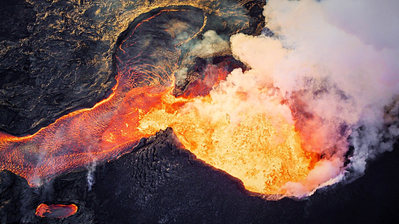
the USGS threat ranking. The USGS ranks Kilauea as the volcano with the highest threat score in the very high category. Its 2018 eruption destroyed more than 700 structures, a figure that shows what the rating means in terms of homes and property near an active vent.
The ranking reflects what a volcano can do to people and property near it, not only how often it erupts. Kilauea is the example where that threat has played out in recent memory, which makes the ranking easy to understand.
2. Mount St. Helens: Blast Zone Reach
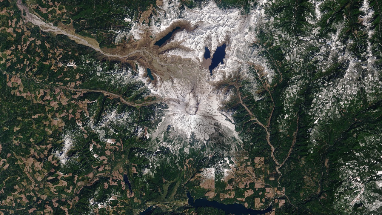
a USGS volcano story. Mount St. Helens is ranked a very high threat volcano by the USGS. Its 1980 explosion killed people tens of miles away, showing that the danger from an eruption can extend far beyond the mountain and its immediate slopes.
That reach is the key point of the rating. Danger from a volcano is not confined to its flanks, and the assessment covers the whole picture of hazards in the surrounding area. The 1980 event is the reason the volcano remains a standard example in discussions of eruption risk.
3. Mount Rainier: Mudflows Toward Puget Sound
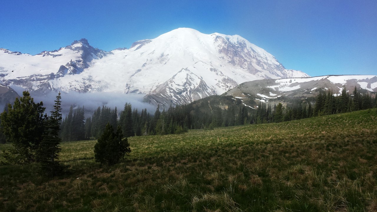
USGS Rainier overview. USGS lists the threat from Mount Rainier as Very High. Past lahars, which are volcanic mudflows, reached as far as the Puget Sound lowlands, a distance that puts populated areas within reach of the mountain’s hazards and explains the high rating.
Lahars travel down river valleys, so the hazard follows the drainages well beyond the mountain itself. That geography is central to why the rating is so high, and it explains why the lowlands, not just the peak, are part of the risk picture.
4. Mount Shasta: Slow but Persistent
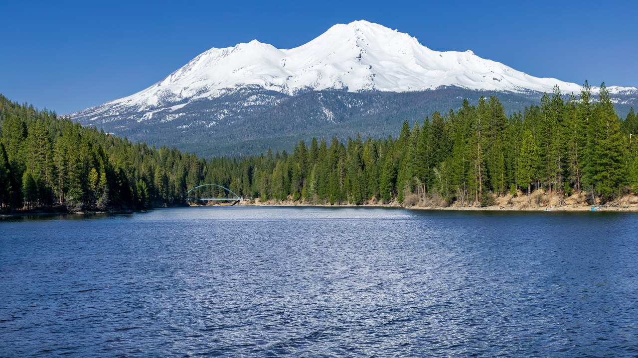
USGS Mount Shasta profile. Mount Shasta is rated Very High threat, and USGS describes it as the most voluminous of all the Cascade Range volcanoes. It has erupted roughly once every 600 to 800 years, and it has had more than 70 mudflows in 1,000 years.
Long gaps between eruptions can hide how active the mountain has been otherwise, since the mudflow count is far higher than the eruption count. The two numbers together explain why the rating is Very High even if a quiet century feels reassuring.
5. Mauna Loa: Lava Near the Highway
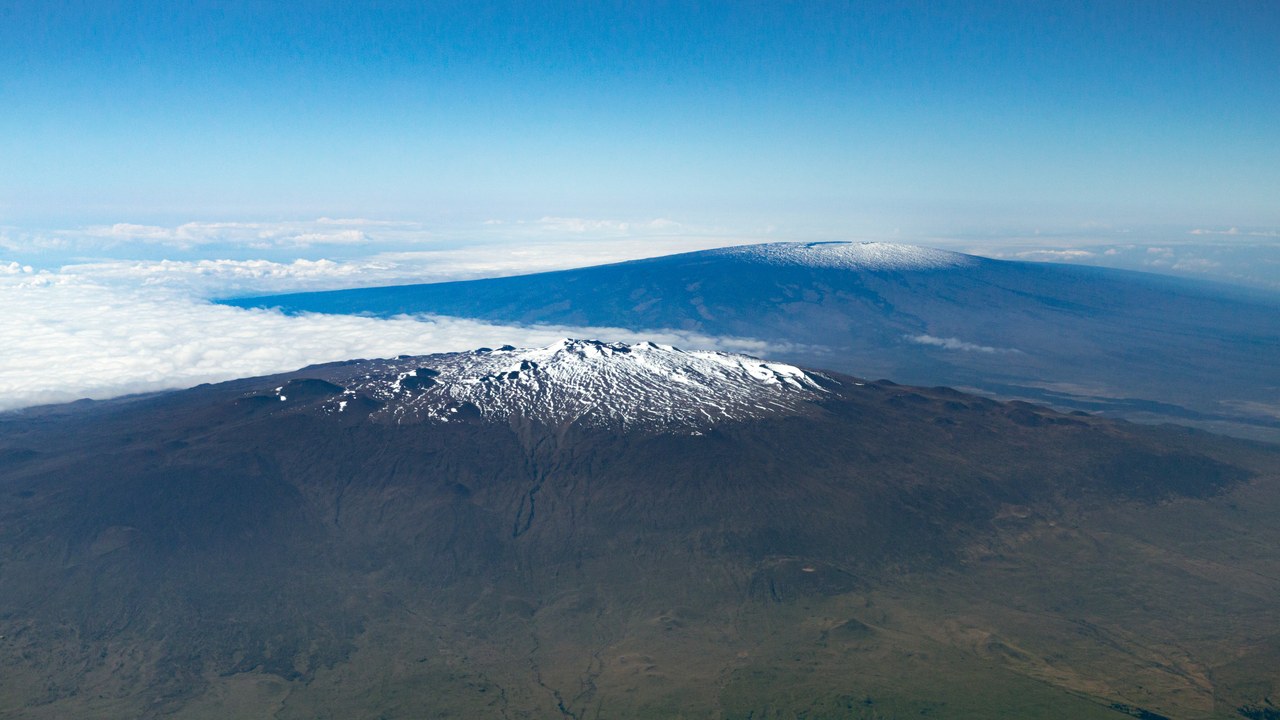
USGS Mauna Loa page. Mauna Loa is rated Very High threat and is described as the largest active volcano on the planet, rising to more than 4 km, or 13,100 feet, above sea level. In 2022 its lava came within 1.7 miles of Saddle Road.
Flows have reached the ocean eight times since 1868, according to USGS. Even a slow-moving flow can threaten roads and communities in its path, and the 2022 approach to Saddle Road shows that the concern is current rather than only historical.
6. Mount Hood: Eruptions Since 1781
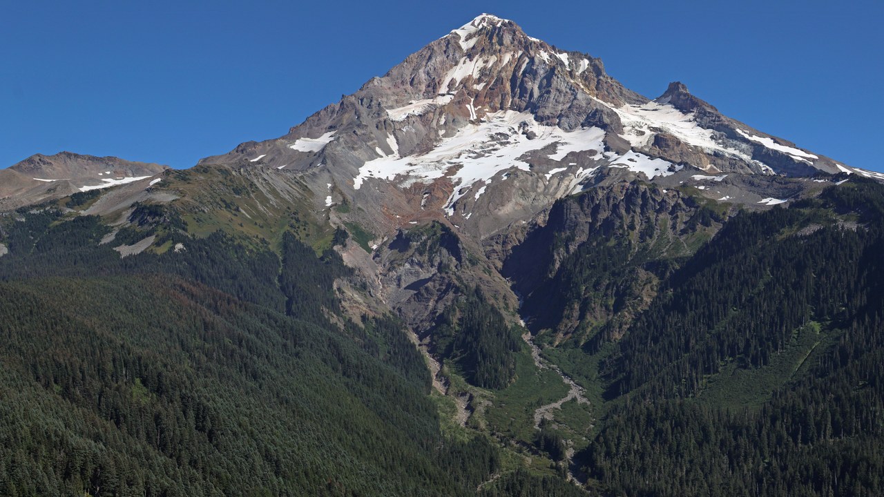
USGS Mount Hood page. The USGS lists Mount Hood’s threat potential as Very High. Its last eruptive period began in AD 1781 and affected the White River as well as Sandy River valleys, according to the agency’s description of the mountain and its eruptive history.
Rivers again define the hazard, carrying debris and sediment downstream from the mountain into populated valleys. The date shows that the most recent activity predates modern records but is still documented, and the rating treats the volcano as a continuing concern.
7. Mount Baker: Steam, Ash and Avalanche
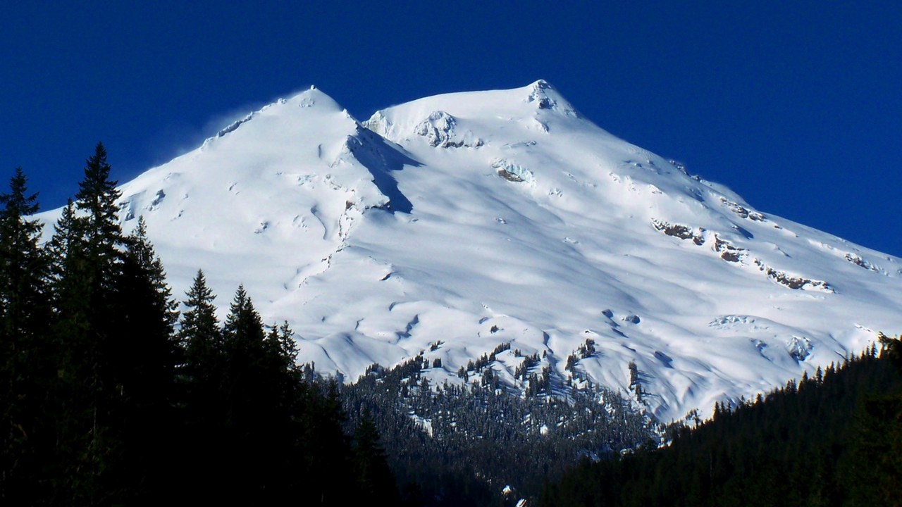
USGS Cascades observatory. Mount Baker is rated Very High threat. USGS notes that an 1843 event brought a steam blast, ash fall and a debris avalanche, all from one episode of activity on the mountain in the Cascades of Washington State.
Those three hazards are a compact example of what Cascade volcanoes can produce even without a large lava eruption. The 1843 record gives the rating a historical anchor and shows that the dangers include material that moves quickly downhill as well as material that falls from the sky.
8. Crater Lake: A Lake in a Caldera
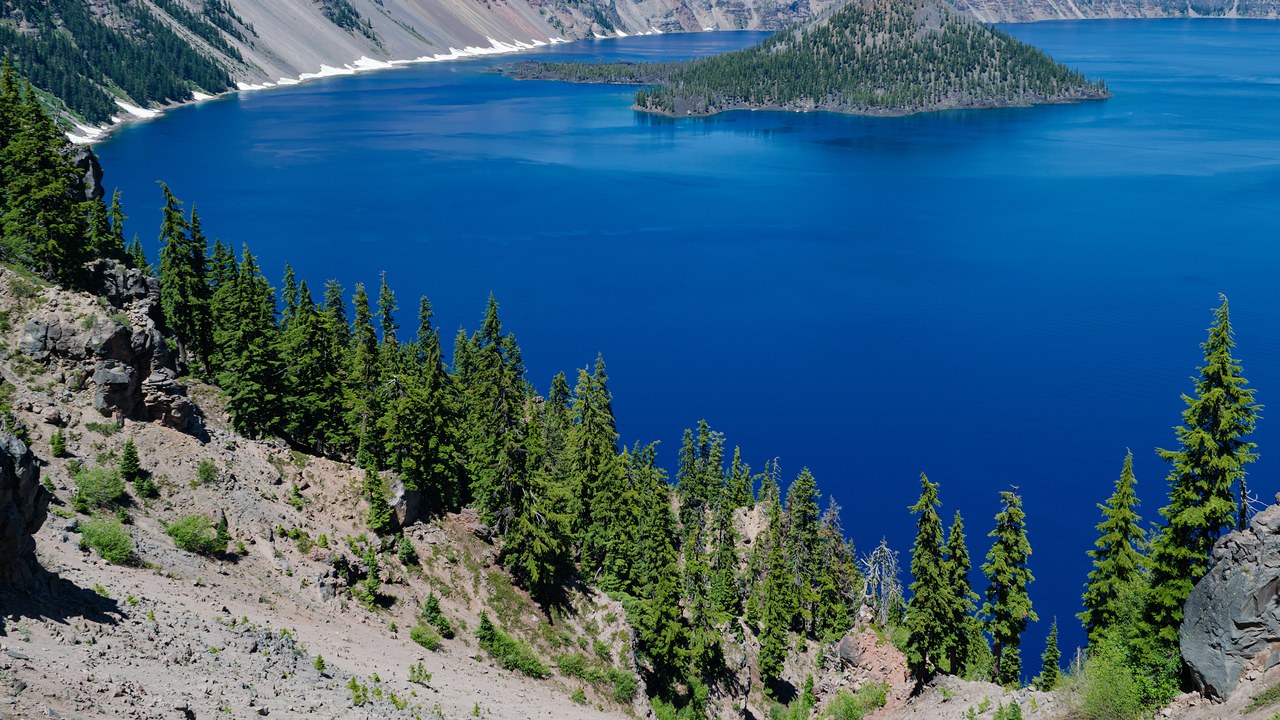
the Cascades assessment. Crater Lake is listed among the Cascade volcanoes rated Very High threat in the 2018 USGS assessment. It appears on the same list as better-known peaks, which may surprise visitors who know the site mainly as a deep and scenic lake.
The source gives the rating itself rather than a long list of hazards, so the ranking is the main point here. The beauty of the place does not change the agency’s view that the volcano belongs among the highest-threat in the Cascades.
9. Glacier Peak: Remote but Rated
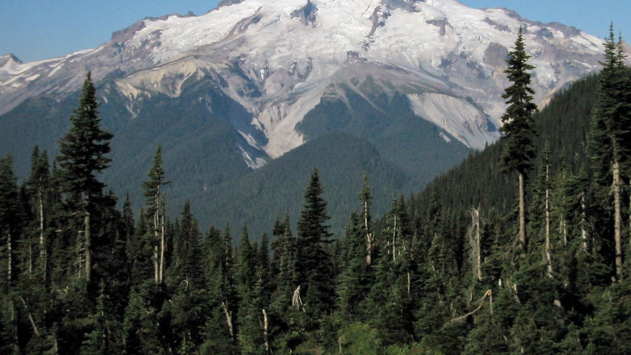
the 2018 USGS assessment. Glacier Peak is also listed among the Cascade volcanoes rated Very High threat in the 2018 USGS assessment. It sits on the same list as Rainier, Baker, Hood and others, which places it among the most closely watched peaks in the range.
The rating is the USGS’s own, drawn from the same early warning system used for the other volcanoes in this gallery. The listing is a reminder that being remote or less famous does not lower a volcano’s score when potential hazards are weighed together.
More from Morning Overview
- 11 engines built to run well past 200,000 miles
- Two Kentucky residents died when a small plane crashed at Missouri’s Lake of the Ozarks, and the NTSB is investigating
- A handful of car transmissions are so tough that mechanics say they almost never die
- Melting permafrost is setting off a newly identified kind of catastrophic landslide, scientists say
