
Outside Antarctica and Greenland, mountain glaciers and ice fields still lock up enormous volumes of frozen water, from the Karakoram to Patagonia. Some are prized for their length, others for the climbers who cross them or the lakes they calve into, and most are shrinking fast. Here are nine glaciers and ice fields outside the poles that show how varied this ice really is.
1. Siachen Glacier: World’s Highest Battlefield
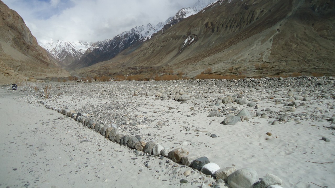
The Siachen Glacier winds roughly 70 kilometers through the eastern Karakoram range on the disputed frontier between India and Pakistan, making it one of the longest glaciers found anywhere outside Antarctica and Greenland. Its ice sits above 5,000 meters, feeding the Nubra River system that eventually joins the Indus.
Since 1984, Indian and Pakistani soldiers have held fortified positions on and around the glacier, making it the highest and coldest militarized zone on the planet. More troops have died there from frostbite, altitude sickness and avalanches than from direct combat.
2. Fedchenko Glacier: Longest Ice In The Pamirs
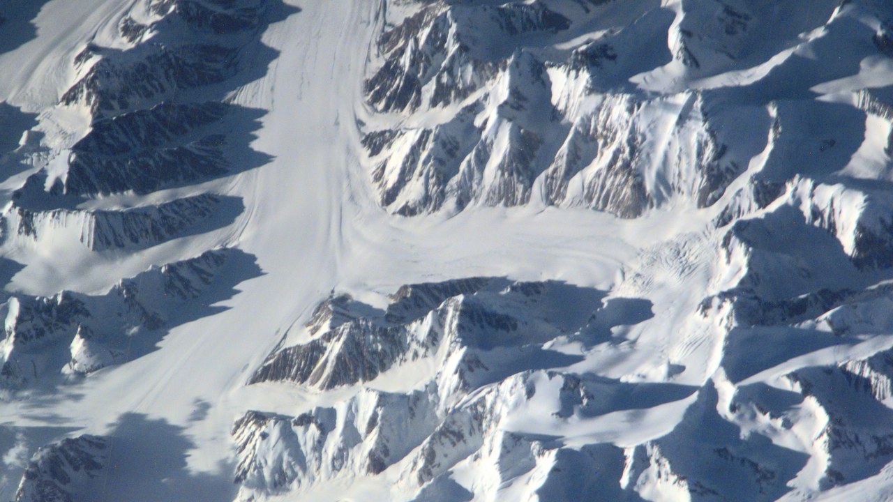
The Fedchenko Glacier stretches about 77 kilometers through Tajikistan’s Pamir Mountains, making it the longest glacier in the Pamirs and among the longest anywhere outside the poles. Named for Russian naturalist Alexei Fedchenko, it covers more than 700 square kilometers and draws ice from dozens of tributary glaciers descending from peaks above 6,000 meters.
The glacier’s meltwater feeds the Vanj River, part of the Amu Darya basin that millions of people downstream in Central Asia depend on for irrigation. Scientists tracking its retreat use it as a benchmark for how fast Central Asia’s mountain ice is disappearing.
3. Baltoro Glacier: Gateway To K2
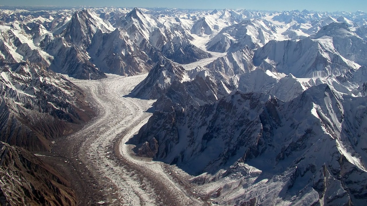
The Baltoro Glacier runs about 63 kilometers through Pakistan’s Karakoram range, flanked by some of the tallest mountains on Earth, including K2, Gasherbrum and Broad Peak. Its upper reaches converge at a junction called Concordia, often described as the point with the greatest concentration of high peaks anywhere on the planet, reachable only by a multi-day trek across the ice.
Climbing expeditions to K2 and its neighboring giants stage from camps along the glacier’s surface, hauling supplies over crevasses and moraine for more than a week before reaching base camp. The route has made Baltoro one of the most photographed and most dangerous approach treks in mountaineering.
4. Aletsch Glacier: The Alps’ Biggest Ice River
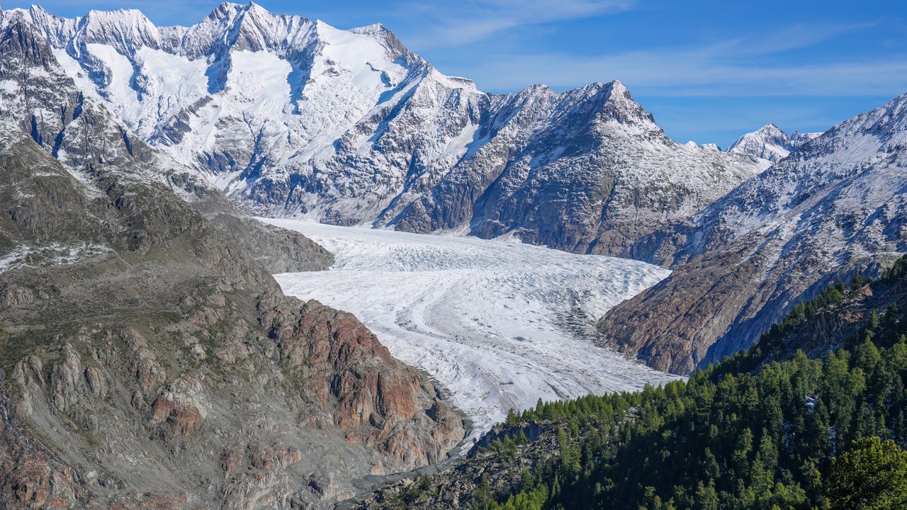
The Aletsch Glacier flows about 23 kilometers through Switzerland’s Bernese Alps, making it the largest glacier in the Alps by both length and ice volume. It forms where several tributary glaciers merge below the Jungfrau, and the surrounding ice-carved landscape is protected as part of a UNESCO World Heritage site.
The glacier has lost roughly a third of its volume since the late 19th century, and researchers project it could largely disappear by the end of this century under current warming trends. Its meltwater still feeds the Massa River and hydropower stations downstream.
5. Southern Patagonian Ice Field: A Shrinking Giant
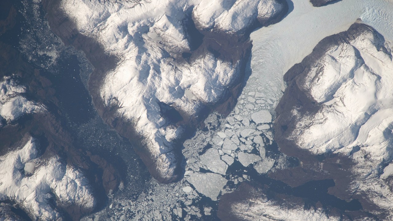
The Southern Patagonian Ice Field covers roughly 13,000 square kilometers across the Chile-Argentina border, making it the largest contiguous body of ice in the Southern Hemisphere outside Antarctica. Dozens of outlet glaciers drain from it, including Upsala, Viedma and Pio XI, the largest glacier by area anywhere in South America, all fed by the same high-altitude ice cap.
Satellite studies have repeatedly ranked the ice field among the fastest-thinning ice masses on the planet, losing volume even faster than many glaciers closer to the poles. Its runoff feeds fjords, rivers and lakes across Chilean and Argentine Patagonia.
6. Vatnajökull: Iceland’s Volcanic Ice Cap
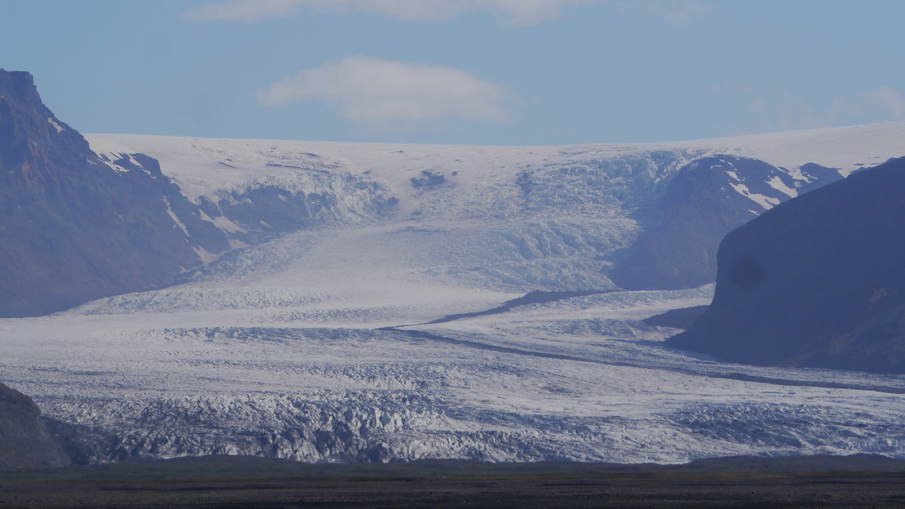
Vatnajökull covers roughly 7,900 square kilometers of southeastern Iceland, making it the largest ice cap in Europe by volume and about the size of Delaware. Beneath the ice sit several active volcanoes, including Grímsvötn and Bárðarbunga, whose eruptions can trigger sudden glacial outburst floods known locally as jökulhlaups.
The ice cap and its surrounding wilderness form the core of Vatnajökull National Park, one of the largest protected areas in Europe. Meltwater from its outlet glaciers carved the black-sand plains and ice caves that draw hikers and photographers year-round.
7. Columbia Glacier: Alaska’s Vanishing Tidewater Ice
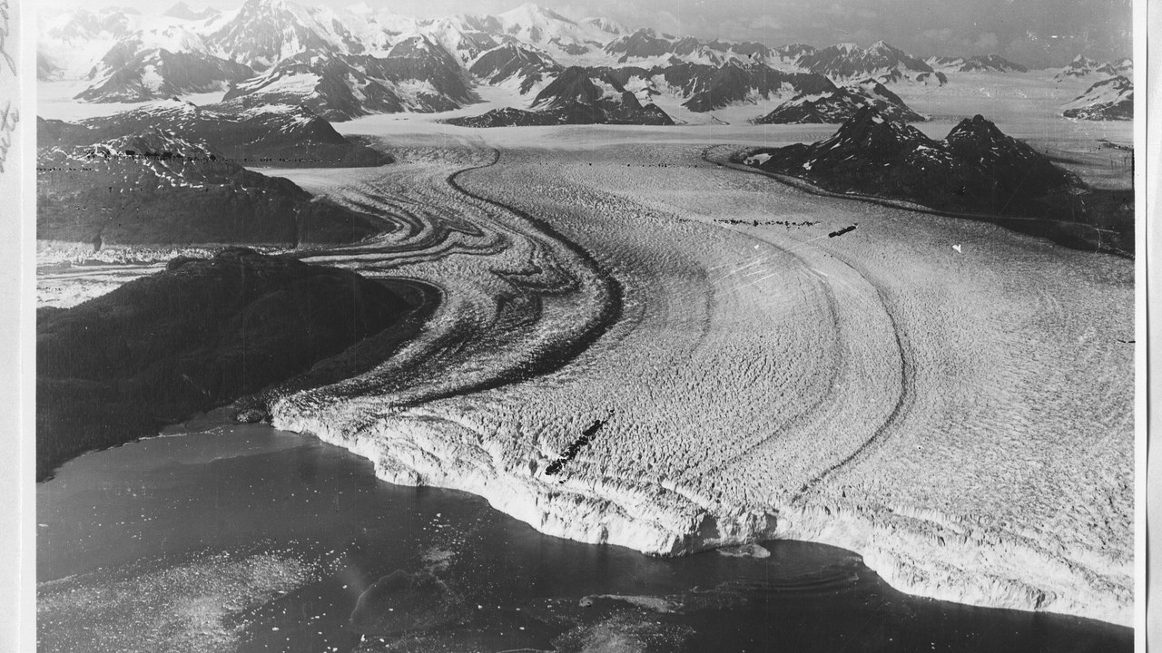
The Columbia Glacier flows out of Alaska’s Chugach Mountains into Prince William Sound, and since the early 1980s it has retreated more than 20 kilometers, making it one of the fastest-shrinking tidewater glaciers ever measured. Icebergs calving from its face once forced the oil tanker Exxon Valdez to alter its course in 1989, contributing to the disaster that followed.
Researchers have used Columbia’s rapid, well-documented retreat as a case study for how tidewater glaciers can destabilize once they lose contact with an underwater sill. Its continued thinning still reshapes shipping routes and wildlife habitat in the sound.
8. Khumbu Glacier: The Icefall Before Everest
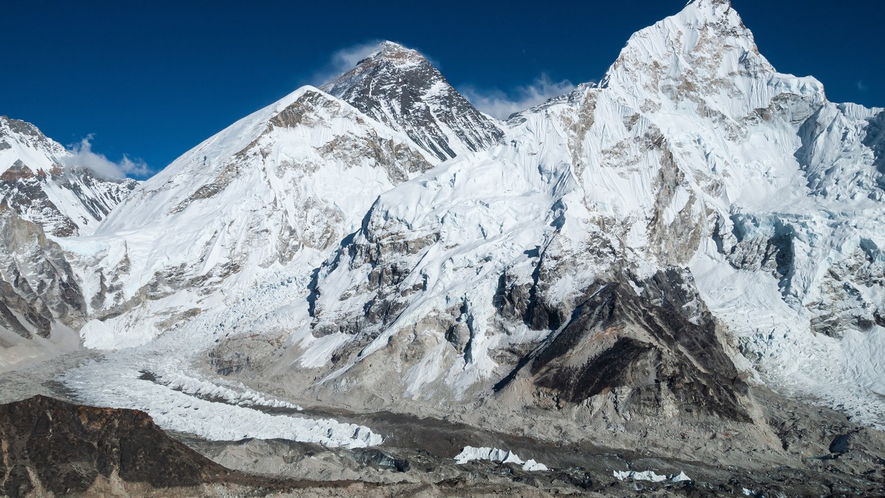
The Khumbu Glacier begins high on Mount Everest’s slopes and flows down through the Western Cwm, past Everest Base Camp, making it one of the highest-starting glaciers on Earth. Its lower section, the Khumbu Icefall, is a shifting maze of towering seracs and crevasses that climbers must cross on fixed ladders and ropes early in every Everest expedition.
The icefall is widely regarded as one of the most dangerous stretches on the standard Everest route, and Sherpa guides who fix its route each season take on some of the expedition’s greatest risk. Warming temperatures have made the ice increasingly unstable in recent years.
9. Perito Moreno Glacier: The Glacier That Advances
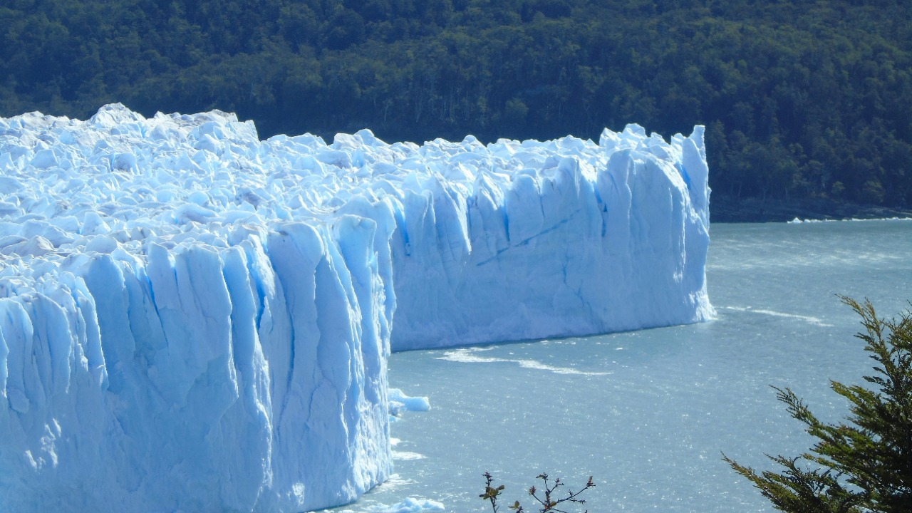
The Perito Moreno Glacier descends from the Southern Patagonian Ice Field into Argentina’s Lago Argentino, and unlike most glaciers worldwide, it has remained relatively stable rather than steadily retreating. Its advancing face periodically dams a branch of the lake, and the ice bridge that forms eventually cracks apart in a dramatic collapse that draws crowds to viewing platforms in Los Glaciares National Park.
Scientists attribute its unusual stability to the heavy snowfall the ice field receives compared with other outlet glaciers nearby, which have retreated sharply. The glacier remains one of Patagonia’s biggest tourist draws precisely because visitors can watch its ice actively break apart.
More from Morning Overview
- Stanford doctors flag five risks that make cannabis dangerous after 65
- Doctors warn a silent liver disease now affects one in three American adults
- An 80-foot stepped pyramid off Japan may predate every civilization we can name
- Early Tesla Model S owners are hitting battery and screen failures no one warned them about
