
The United States Geological Survey ranks the country’s volcanoes by how much damage an eruption could inflict on nearby people, infrastructure and air travel, updating the list as unrest is detected. Several of the highest-ranked peaks sit within sight of major cities, their glaciers and steep flanks capable of turning even a modest eruption into a fast-moving hazard. Here are nine American volcanoes the agency keeps under continuous watch.
1. Mount Rainier: The Lahar Threat Over Puget Sound
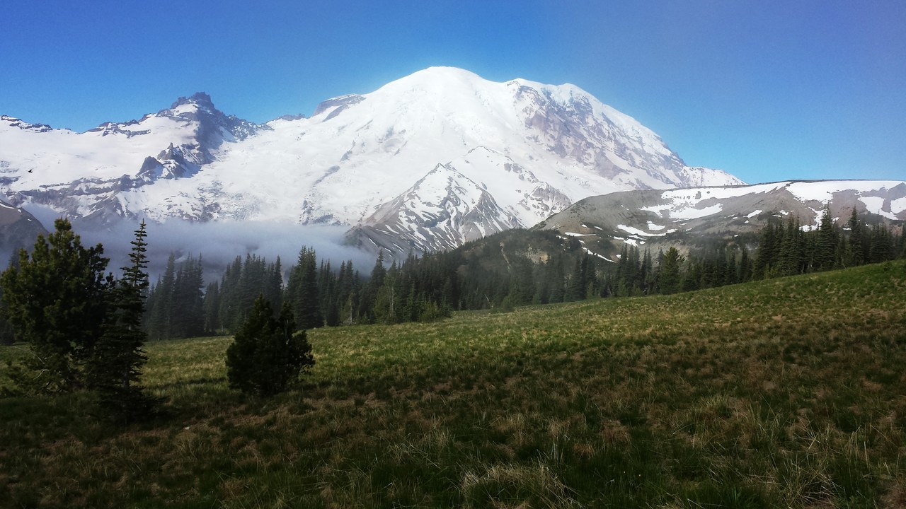
The U.S. Geological Survey rates Mount Rainier a very high threat volcano, its top hazard tier. Its upper slopes carry more glacial ice than any other volcano in the Cascade Range, and past eruptions have sent lahars, fast-moving flows of mud, rock and meltwater, down river valleys into the Puget Sound lowlands.
Hundreds of thousands of people now live on top of those old lahar deposits, and the same drainages remain the likeliest path for a future flow. Monitoring stations track the mountain around the clock, giving downstream communities the minutes they would need to evacuate.
2. Mount St. Helens: The Cascade’s Most Restless Peak
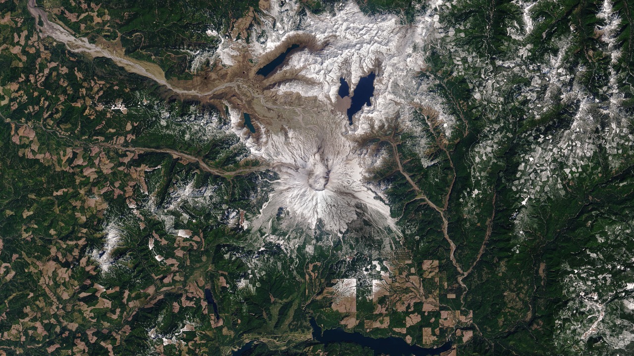
Mount St. Helens carries a very high threat rating from the U.S. Geological Survey, a status it earned well before its catastrophic 1980 eruption. That blast triggered a flank collapse that stripped roughly 1,300 feet off the summit in seconds, the largest landslide in recorded history, and reshaped the mountain into the horseshoe-shaped crater visible today. The volcano is now listed at normal status.
Even so, it remains the most seismically active volcano in the Cascade Range, generating small earthquake swarms as magma and gas shift underground. Scientists treat every one of those swarms as a reminder that the mountain rebuilt its lava dome twice within living memory.
3. Kilauea: Lava Fountains Since December 2024
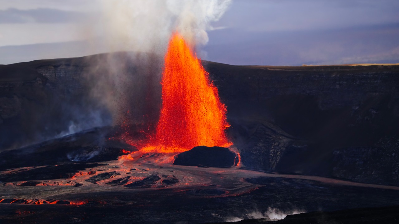
Kilauea sits at watch status as of September 18, 2026, the U.S. Geological Survey’s designation for a volcano that is erupting or showing heightened unrest but poses limited hazard beyond its immediate area. Episodic lava fountaining has continued inside Halemaumau crater since December 2024, sending jets of molten rock hundreds of feet into the air during active episodes.
Each fountaining episode is separated by days or weeks of quiet, a rhythm scientists track through tiltmeters and gas sensors ringing the summit. The pattern has held steady enough that Hawaii Volcanoes National Park keeps designated viewing areas open between episodes.
4. Mauna Loa: Earth’s Largest Active Volcano
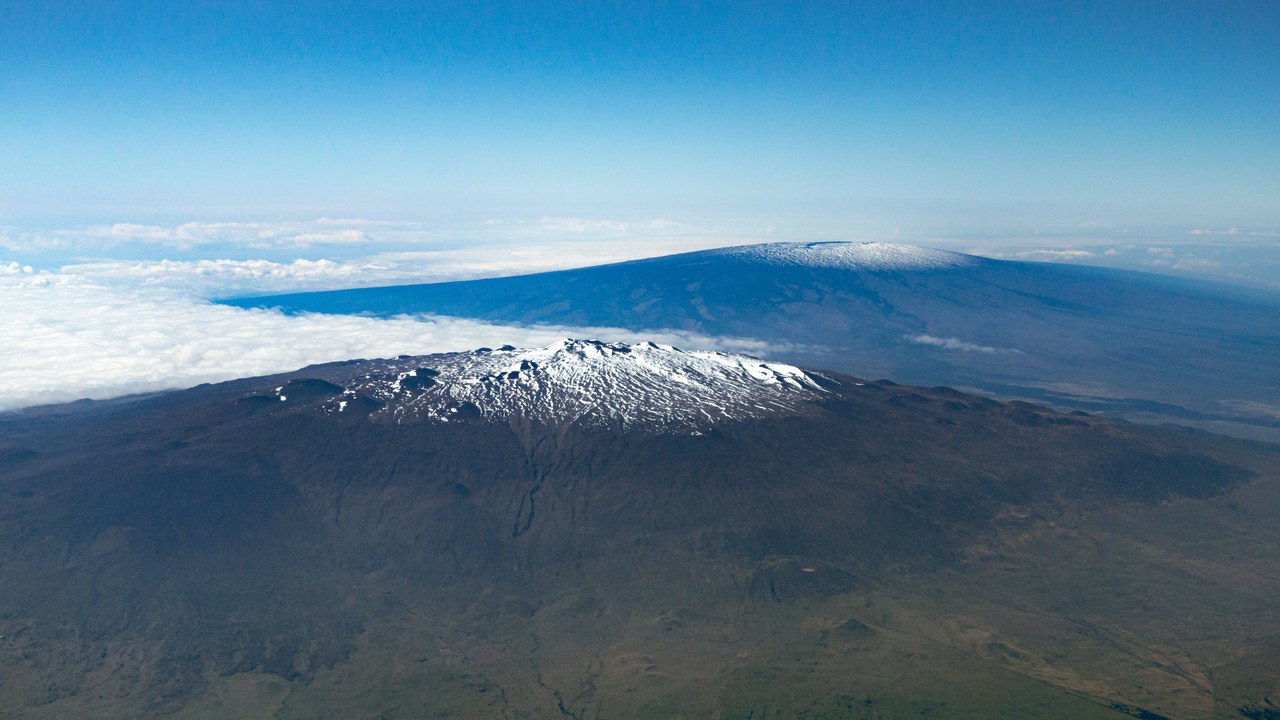
Mauna Loa is Earth’s largest active volcano by both mass and volume, and the U.S. Geological Survey rates it a very high threat. Its most recent eruption, in 2022, sent a lava flow within 1.7 miles of the Daniel K. Inouye Highway, the main route across the Big Island, before the flow stalled and the volcano returned to normal status.
That near miss underscored how quickly a Mauna Loa flow can threaten the island’s only cross-island road. Seismic networks and satellite radar now track the volcano continuously for the ground deformation that has preceded past eruptions.
5. Mount Hood: Portland’s Overlooked Neighbor
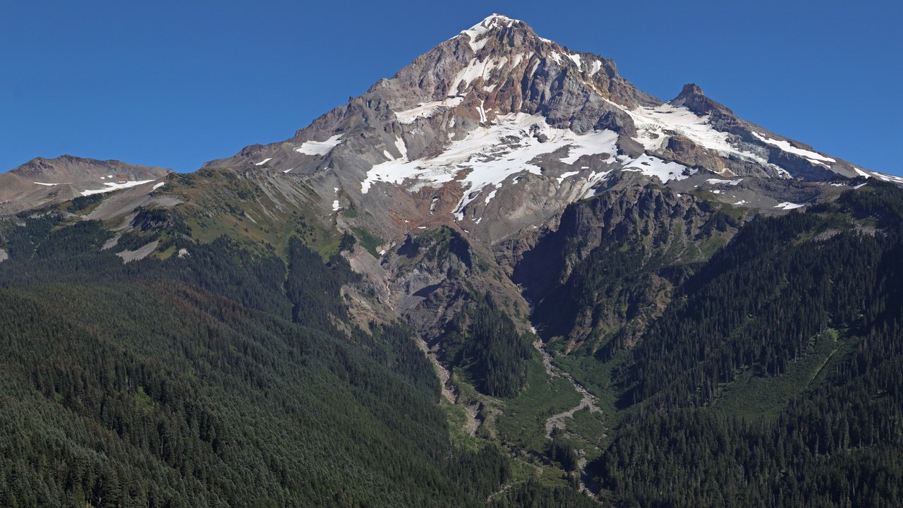
Mount Hood carries a very high threat rating from the U.S. Geological Survey largely because of its proximity to the Portland metropolitan area. The volcano’s last eruptive period, which began in 1781, choked the Sandy River with volcanic sediment for roughly a decade, a preview of the debris flows a future eruption could send toward populated valleys.
Glaciers still cap the summit today, giving any renewed activity the same lahar-generating potential that shaped the 1781 episode. Monitoring equipment on the mountain watches for the seismic and gas changes that would signal the start of a new eruptive period.
6. Mount Baker: The Steam Vents That Never Stopped
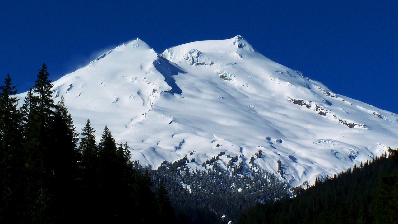
The U.S. Geological Survey rates Mount Baker a very high threat, and a 1975 steam episode at its Sherman Crater showed why. Sudden increases in heat and gas output that year triggered the most intensive monitoring effort ever applied to a Cascade volcano at the time, as scientists worked to determine whether an eruption was imminent.
No eruption followed, but Sherman Crater has continued venting steam and volcanic gas ever since, a visible reminder that heat still moves close to the surface. The mountain’s heavy glaciation means any renewed unrest could again generate lahars down its flanks.
7. Mount Shasta: Seventy Mudflows in a Thousand Years
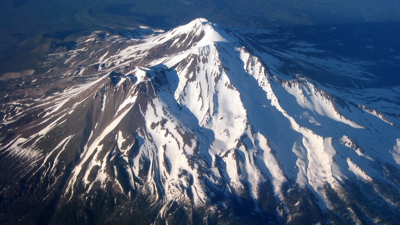
Mount Shasta holds a very high threat rating from the U.S. Geological Survey, driven largely by its long history of debris flows rather than frequent eruptions. More than 70 mudflows have filled the volcano’s stream channels over the past 1,000 years, some triggered by eruptions and others by nothing more than heavy rain on loose volcanic debris.
That record makes Shasta one of the most debris-flow-prone volcanoes in the contiguous United States, independent of whether it is erupting. Communities in the surrounding valleys sit on layers of those older flows, which shape how hazard planners map the volcano’s risk today.
8. Glacier Peak: Washington’s Remote but Violent Volcano
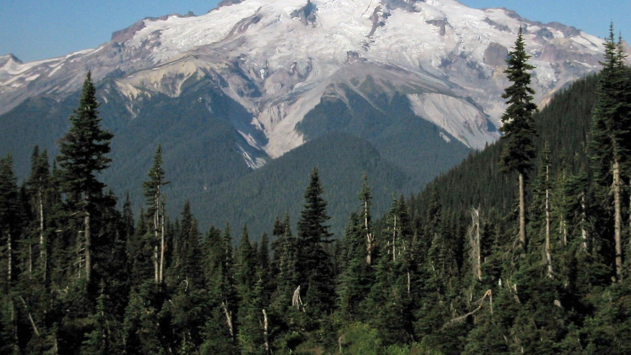
Glacier Peak earns a very high threat rating from the U.S. Geological Survey despite being the most remote volcano in Washington state, reachable only by trail. The mountain has produced some of the largest explosive eruptions recorded anywhere in the contiguous United States since the end of the last ice age, ejecting ash across hundreds of miles.
Its distance from major highways and towns has not lowered its ranking, because the threat scale weighs the size of a possible eruption as heavily as who lives nearby. Rivers draining the volcano still carry the same lahar risk that shaped past eruptive cycles.
9. Three Sisters: The Ground That Keeps Rising
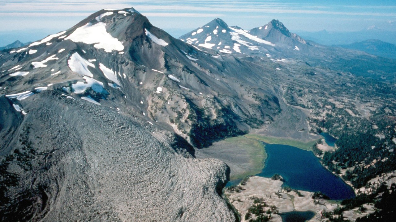
The Three Sisters volcanic complex in Oregon carries a very high threat rating from the U.S. Geological Survey, covering three closely spaced peaks with a shared history of eruptions. Renewed ground uplift near South Sister, first detected in 1997, has continued across a roughly six-kilometer area, a sign that magma may be accumulating beneath the surface.
The uplift has not been accompanied by the earthquake swarms or gas changes that typically precede an eruption, so scientists classify it as background unrest rather than an imminent warning. GPS stations and satellite radar continue tracking the deformation for any change in pace.
More from Morning Overview
