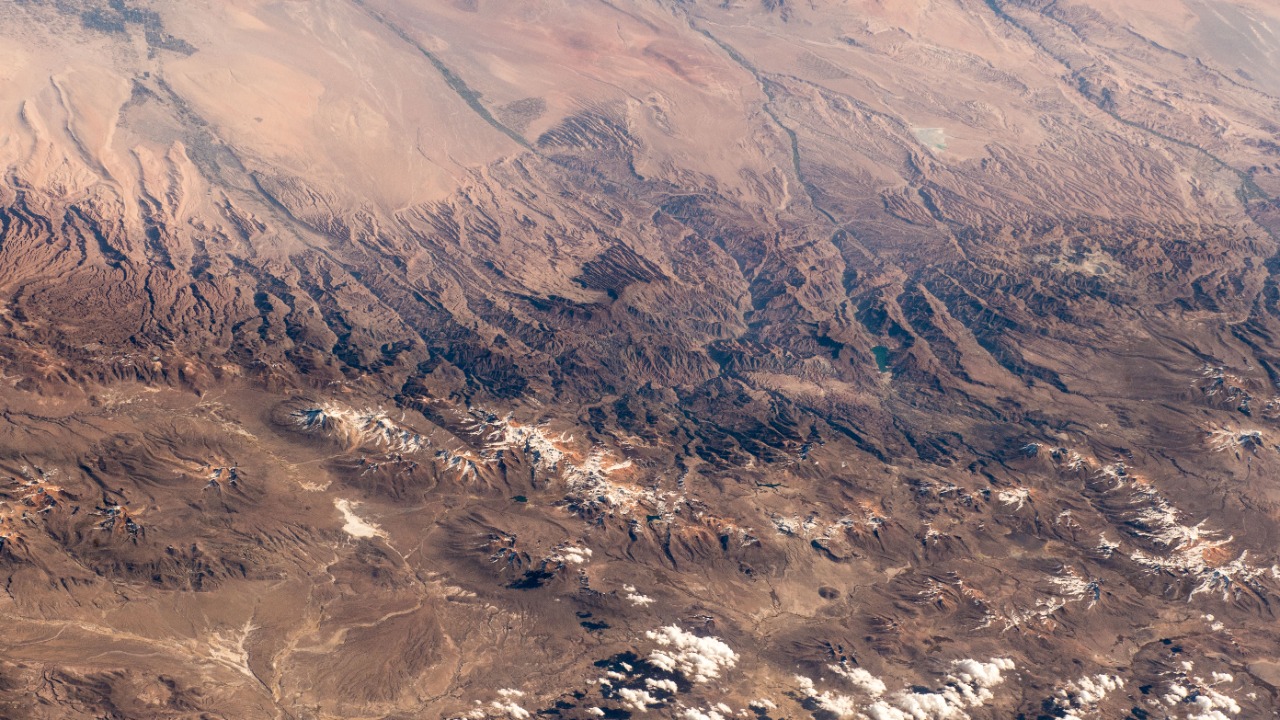
For centuries, the 5,200 mystery holes scattered across the Peruvian Andes have baffled archaeologists. These pits, each approximately 1-2 feet wide and up to 2 feet deep, span an area of about 1.5 square miles near Lake Titicaca. Recent research now suggests that these holes were likely the result of ancient agricultural practices, as communities adapted to the harsh high-altitude conditions. The latest findings propose a practical explanation tied to pre-Incan farming techniques, offering a potential solution to this long-standing enigma.
The Discovery of the Mystery Holes
The mystery holes in the Peruvian Andes were first documented by 20th-century explorers. They are located at elevations exceeding 12,000 feet near Lake Titicaca, covering an area of approximately 1.5 square miles. Each hole is uniformly 1-2 feet in width and up to 2 feet in depth, arranged in precise rows. This arrangement suggests that they were the result of intentional human activity rather than natural formation. The site’s centuries-old origins and scale were initially reported by Live Science.
Historical Context and Previous Theories
The timeline of the holes dates back to pre-Incan periods, with artifacts and soil layers indicating use from at least 500-1000 AD. Earlier hypotheses proposed by archaeologists in the mid-20th century suggested that the holes might have been used for astronomical observations or religious ceremonies. However, these theories lacked supporting evidence and failed to account for the site’s agricultural potential in the Andean environment, as discussed by UNN.
Recent Scientific Investigations
Recent fieldwork led by teams from Peruvian and international institutions has shed new light on the mystery holes. In 2024, geophysical surveys and excavations sampled over 100 holes for pollen and tool residue analysis. Radiocarbon dating confirmed that the holes were constructed around 600-800 AD by local Tiwanaku culture affiliates. Modern technology, such as ground-penetrating radar, was used to map the full extent of the site near Lake Titicaca, as reported by Live Science.
The Proposed Agricultural Explanation
The leading theory proposes that the holes served as “qochas” or raised-field planting pits. These pits were used to combat frost and soil erosion in the high-altitude Peruvian Andes. Soil samples from the pits revealed enriched organic matter and crop residues like quinoa and potatoes. This centuries-old system likely boosted yields in the harsh 12,000-foot elevation zone, as emphasized by experts quoted by UNN.
Evidence from Environmental Adaptation
The rowed layout of the 5,200 holes optimized water retention and microclimate control. Hydrological modeling conducted in 2024 tied to Lake Titicaca’s fluctuating levels revealed this. Artifact recoveries, including stone tools and ceramic shards from the Tiwanaku period (circa 500-1000 AD), were found in direct association with the holes. Climate data analysis shows the need for such innovations during ancient dry spells, as reported by Live Science.
Implications for Andean Archaeology
This explanation reframes the site’s role in pre-Incan societies, linking the 1.5-square-mile complex to broader raised-field agriculture across the Peruvian Andes. Researchers estimate that thousands more holes may exist based on satellite imagery from 2025 surveys. The preservation of these centuries-old features amid modern climate threats is a topic of discussion, as noted by UNN.
Future Research Directions
Future studies plan to include genetic analysis of ancient crop remains from the holes to trace Tiwanaku farming practices back to 600 AD. Interdisciplinary approaches are also being considered, such as collaborating with climate scientists to model how the 5,200 pits influenced local ecosystems near Lake Titicaca. Lead archaeologists are urging expanded funding for Andean site protection, as reported by Live Science.
More from MorningOverview