A groundbreaking new map offers an unprecedented glimpse beneath the vast ice sheets of Antarctica, revealing a landscape that has been hidden for millions of years. This detailed visualization, a result of cutting-edge technology and collaborative scientific efforts, provides critical insights into the continent’s geological features and offers clues about its past and future.
The Technology Behind the Map
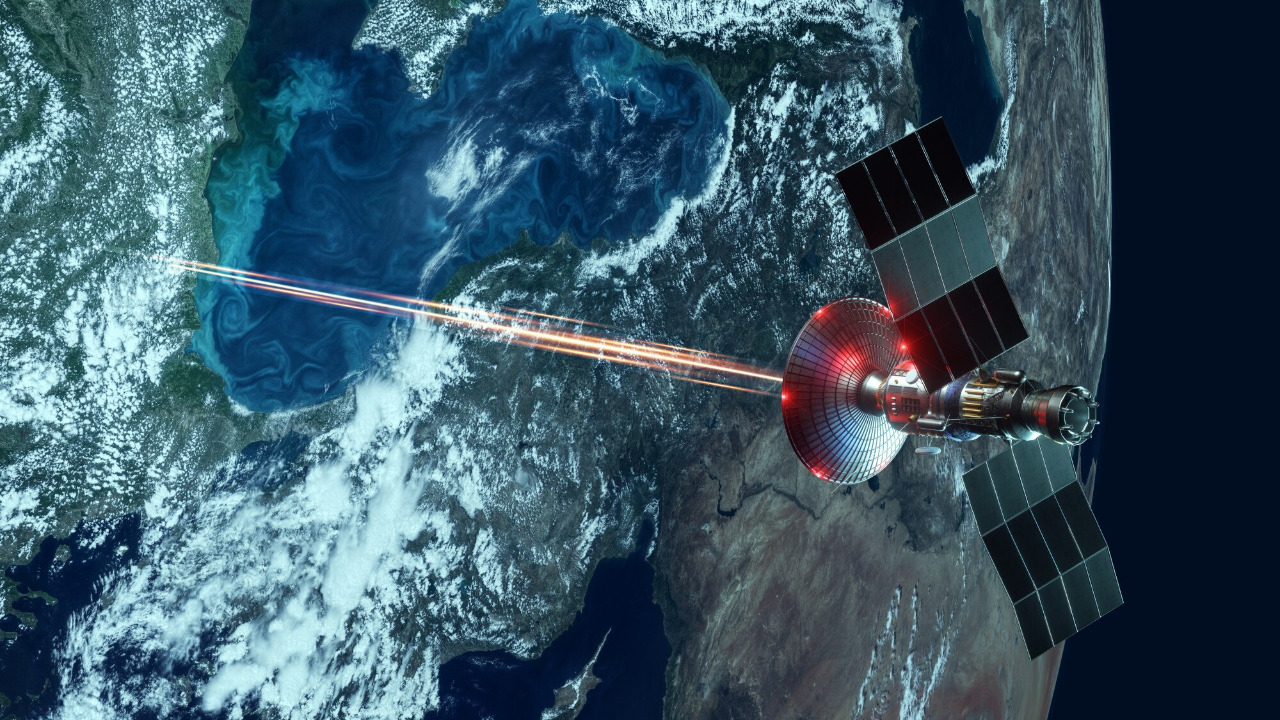
The development of this map is largely thanks to advanced radar and satellite imaging technologies. These tools allow scientists to peer through the thick ice layers that have cloaked Antarctica’s subglacial terrain. Radar systems, in particular, are capable of penetrating ice sheets several kilometers thick, bouncing signals off the bedrock below to create detailed images of the underlying topography. Similarly, satellite imaging provides a comprehensive view from above, capturing the continent’s surface changes over time. Together, these technologies offer a layered understanding of the Antarctic landscape that was previously unattainable.
International collaboration has been key to the success of this mapping project. Scientists from various institutions around the world have pooled their resources and expertise, combining decades of data collection and research. This collaborative effort has resulted in a comprehensive database that not only supports the creation of the map but also facilitates ongoing research into Antarctica’s geological mysteries. The project represents a significant leap in our ability to visualize and understand the Earth’s least accessible continent.
Unveiling Antarctica’s Hidden Landscape
The new map unveils stunning mountain ranges and valleys beneath Antarctica’s ice sheets. These geological features, similar in scale and grandeur to the Rockies or the Alps, have been hidden for millions of years. Their discovery not only reshapes our understanding of Antarctica’s topography but also provides valuable insights into the continent’s geological history. These mountains and valleys are crucial in understanding the flow of ice sheets, which in turn has implications for global sea-level rise.
Beyond the mountainous terrain, the map highlights the presence of vast subglacial lakes and intricate water systems. These hidden water bodies play a critical role in the movement of ice sheets and offer unique habitats for microbial life that thrives in extreme conditions. The discovery of these lakes is a significant breakthrough, as they are vital to understanding the complex interactions between ice, water, and life in one of the planet’s most extreme environments.
Implications for Climate Science
The enhanced understanding of ice dynamics provided by the new map is crucial for predicting future sea-level rise. As scientists piece together the movement and behavior of ice sheets, they can better forecast how these massive ice bodies might respond to climate change. This knowledge is essential for preparing global coastlines for the potential impacts of rising seas, which threaten to displace millions of people worldwide. Furthermore, the map sheds light on the intricate connections between Antarctic ice and ocean systems, offering insights into how changes in one could affect the other.
The geological features uncovered by the map also provide clues about historical climate patterns. By analyzing the composition and formation of these features, scientists can infer past climate conditions and develop more accurate models to predict future changes. This information is invaluable for understanding the long-term impacts of current climate trends and for devising strategies to mitigate their effects.
Antarctica’s Geological Mysteries
The map also reveals evidence of tectonic activity beneath Antarctica’s ice, which has implications for understanding seismic risks in the region. While Antarctica is not typically associated with earthquakes, the presence of tectonic features suggests that the continent may experience more geological activity than previously thought. This insight is crucial for assessing potential risks and for furthering our understanding of Earth’s tectonic processes.
Exploring the age and formation of subglacial features offers a window into the geological history of Antarctica. Theories about the origins of these features can help scientists reconstruct the continent’s past climate and geological events. Understanding how these features formed and evolved over time is key to piecing together the broader narrative of Earth’s geological history and its implications for the future.
Future Research and Exploration Opportunities
The creation of this map marks a significant advancement in mapping technology, paving the way for future developments. As technology continues to evolve, scientists anticipate even more refined tools that can provide greater detail and accuracy in mapping Antarctica’s hidden landscape. These advancements will enhance our ability to study the continent and its complex systems, offering new opportunities for discovery and understanding.
Ongoing and future expeditions aim to explore specific regions of interest revealed by the map. Scientists are particularly interested in areas with unique geological or biological features, as these may offer new insights into the continent’s mysteries. Upcoming expeditions will likely focus on studying subglacial lakes, tectonic features, and areas with significant ice dynamics. The potential discoveries from these missions could reshape our understanding of Antarctica and its role in the global climate system.
As we continue to unlock the secrets of Antarctica’s ice-covered landscape, the knowledge gained will be crucial for addressing some of the most pressing challenges facing our planet. The combination of advanced technology, international collaboration, and ongoing research promises to deepen our understanding of this enigmatic continent and its impact on the world.