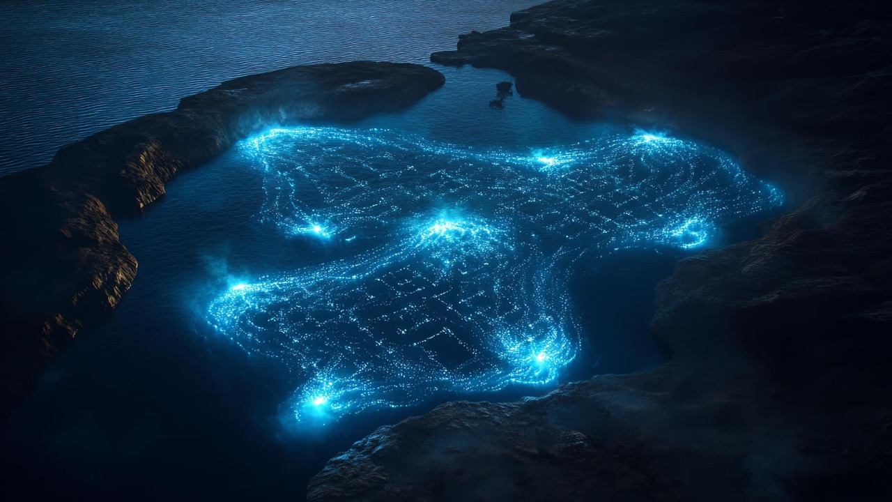
The deep-sea remains one of the most unexplored regions on Earth, due in large part to the immense challenges posed by its depth and vastness. Yet, the recent advent of Artificial Intelligence (AI) has begun to cast a new light on these dark depths. By leveraging AI technologies, scientists have begun to map the vast seafloor, revealing an underwater world teeming with life and rich with resources.
The Need for Ocean Floor Mapping
The importance of mapping the ocean floor cannot be overstated. Detailed maps of the seafloor can offer valuable insights into marine life, geology, and potential resources. However, the process of mapping the ocean floor is fraught with challenges. The sheer depth and pressure of the ocean, along with the lack of sunlight, make it a hostile environment for exploration.
Moreover, comprehensive mapping of the ocean floor is crucial for marine conservation efforts. Understanding the layout of the seabed can aid in the identification of important habitats and ecosystems, and contribute to the creation of marine protected areas. As such, the need for detailed, accurate maps of the ocean floor is pressing.
Current State of Ocean Floor Mapping
Presently, the most common techniques for mapping the ocean floor include sonar and satellite-based methods. Yet, these methods have their limitations. Sonar, for instance, is time-consuming and expensive, while satellite-based methods can lack accuracy. Furthermore, despite these efforts, it is estimated that less than 20% of the world’s ocean floor has been mapped to date as described in this study.
The limitations and challenges of these current techniques underscore the need for more efficient and accurate methods of mapping the ocean floor. This is where the potential of Artificial Intelligence comes into play.
Introduction to AI and Its Applications in Oceanography
Artificial Intelligence, at its core, is the development of computer systems that can perform tasks typically requiring human intelligence. This includes tasks such as learning, reasoning, problem-solving, perception, and language understanding. Over the years, AI has found applications in a wide array of fields, from healthcare to finance, and now, oceanography.
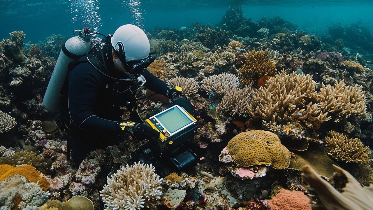
In the realm of oceanography, AI has been instrumental in analyzing large volumes of data, predicting ocean currents, and identifying marine species. Recent advancements in AI technologies, such as machine learning and computer vision, have shown great potential in mapping the ocean floor. For instance, this research discusses how machine learning can be used to analyze seafloor images and identify geological features.
AI-based Techniques for Ocean Floor Mapping
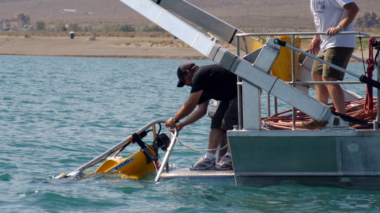
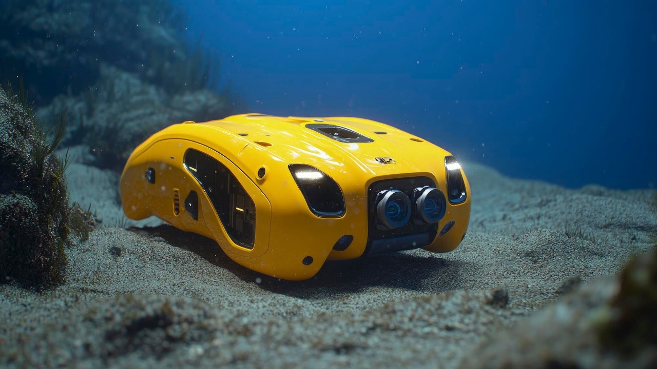
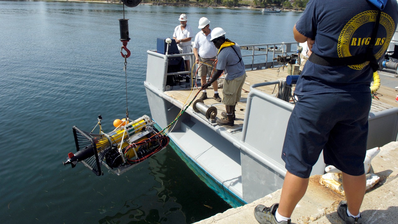
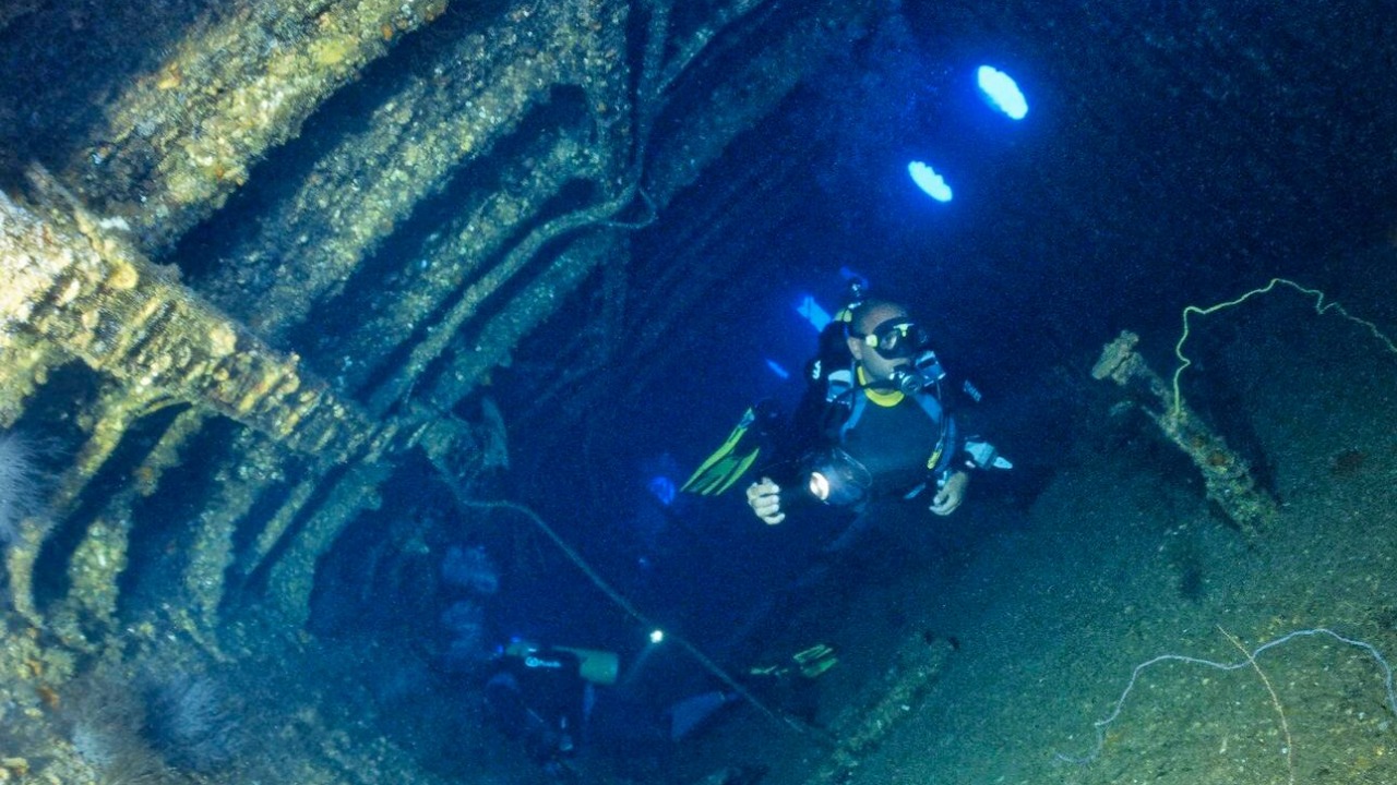
AI technologies, particularly machine learning, are increasingly being used to map the ocean floor. One such method involves training machine learning algorithms on sonar data to identify patterns and features of the seafloor. Another method involves using autonomous underwater vehicles (AUVs), equipped with AI technologies, to collect high-resolution images of the seabed.
The use of AI in ocean floor mapping has shown promising results. AI-based techniques are not only more efficient, but they also offer higher accuracy compared to traditional methods. For instance, this study highlights the effectiveness of using AI for interpreting sonar data and creating detailed maps of the seafloor.
Impacts and Potential of AI in Ocean Floor Mapping
The integration of AI into ocean floor mapping has brought about significant improvements. With AI, scientists are now able to create more detailed and accurate maps of the seafloor, leading to new discoveries and insights. Furthermore, comprehensive maps of the ocean floor can have far-reaching impacts on various fields, including science, conservation, and industry. For instance, better maps can aid in the exploration of underwater mineral resources, or in the planning of underwater infrastructure such as submarine cables.
The potential of AI for ocean floor mapping is immense. With continued advancements in AI technologies, we can expect to see even more accurate and comprehensive maps of the ocean floor. These advancements could also open up new avenues for exploration, such as the ability to explore previously inaccessible parts of the ocean floor, or the use of AI to predict changes in the seafloor over time.
Case Study: Seabed 2030 Project
An example of the use of AI in ocean floor mapping is the Seabed 2030 project. This ambitious project aims to map the entire ocean floor by the year 2030. To achieve this goal, the project is leveraging AI technologies, among others.
So far, the Seabed 2030 project has made significant progress. The project has already mapped over 20% of the ocean floor, a testament to the effectiveness of AI in ocean floor mapping. By harnessing the power of AI, the project is not only contributing to our understanding of the ocean, but also paving the way for future exploration and conservation efforts.