In the vast expanses of the world’s deserts, hidden structures are coming to light thanks to the advent of drone technology. These structures, often invisible from the ground, reveal their intricate patterns and origins only when viewed from above. Drones are uncovering these hidden desert secrets, changing our understanding of historical landscapes.
The Role of Drones in Archaeological Discoveries
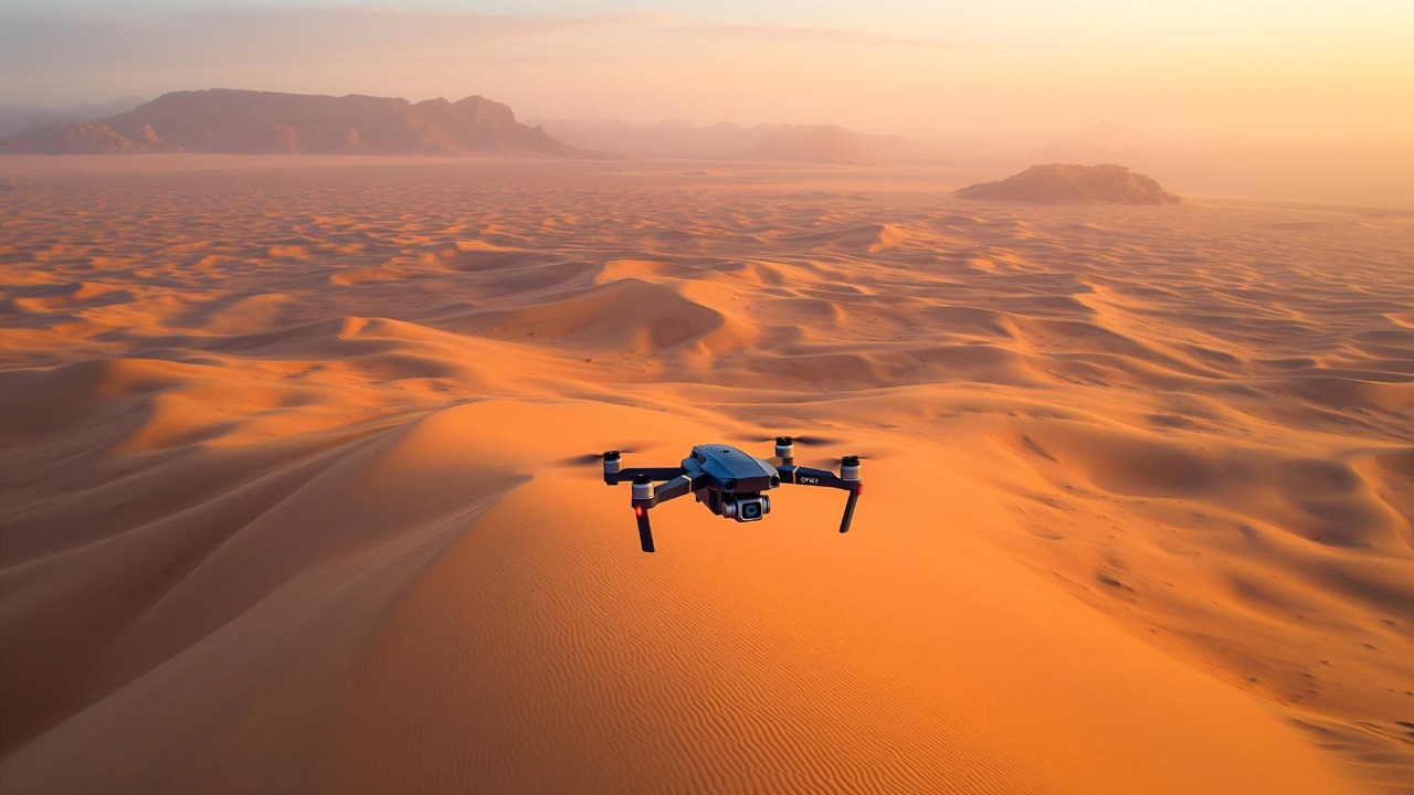
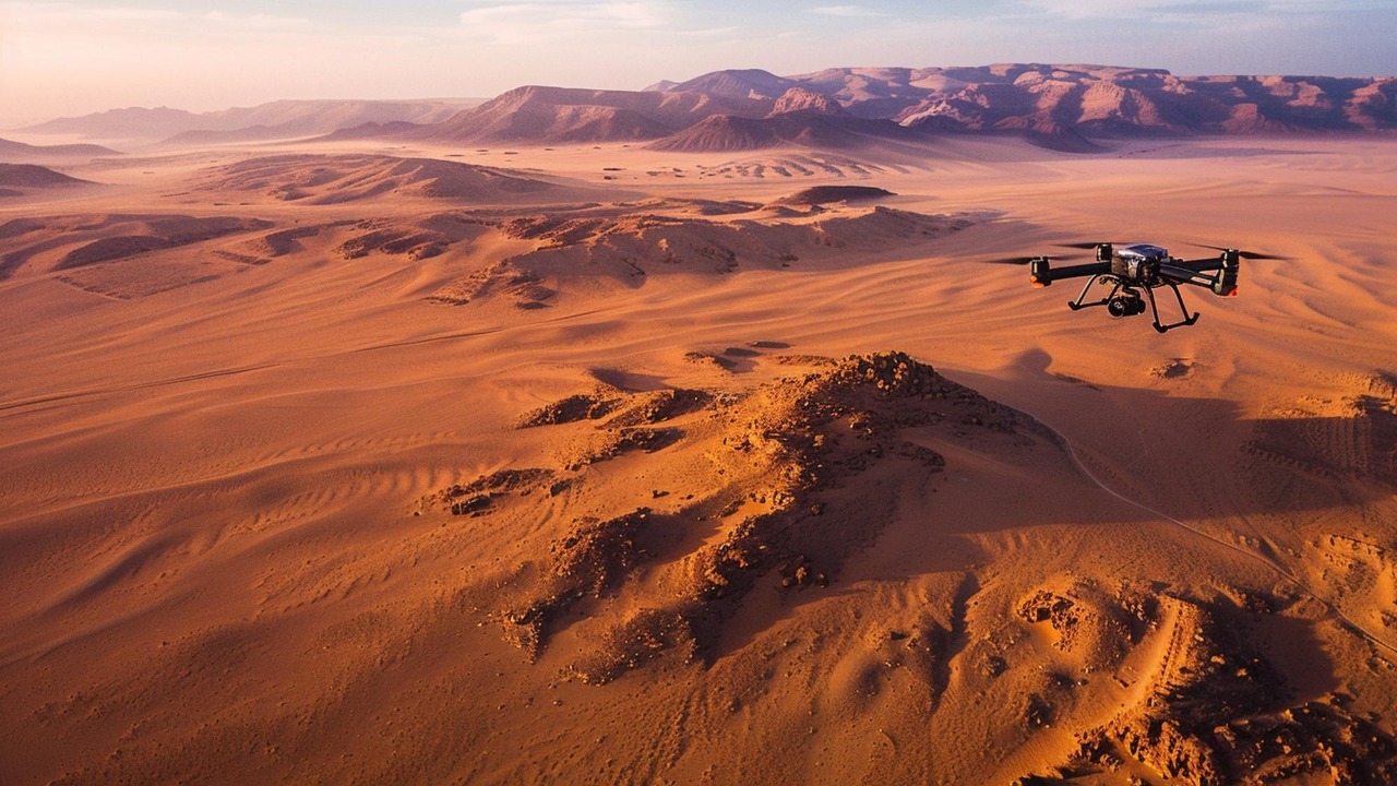
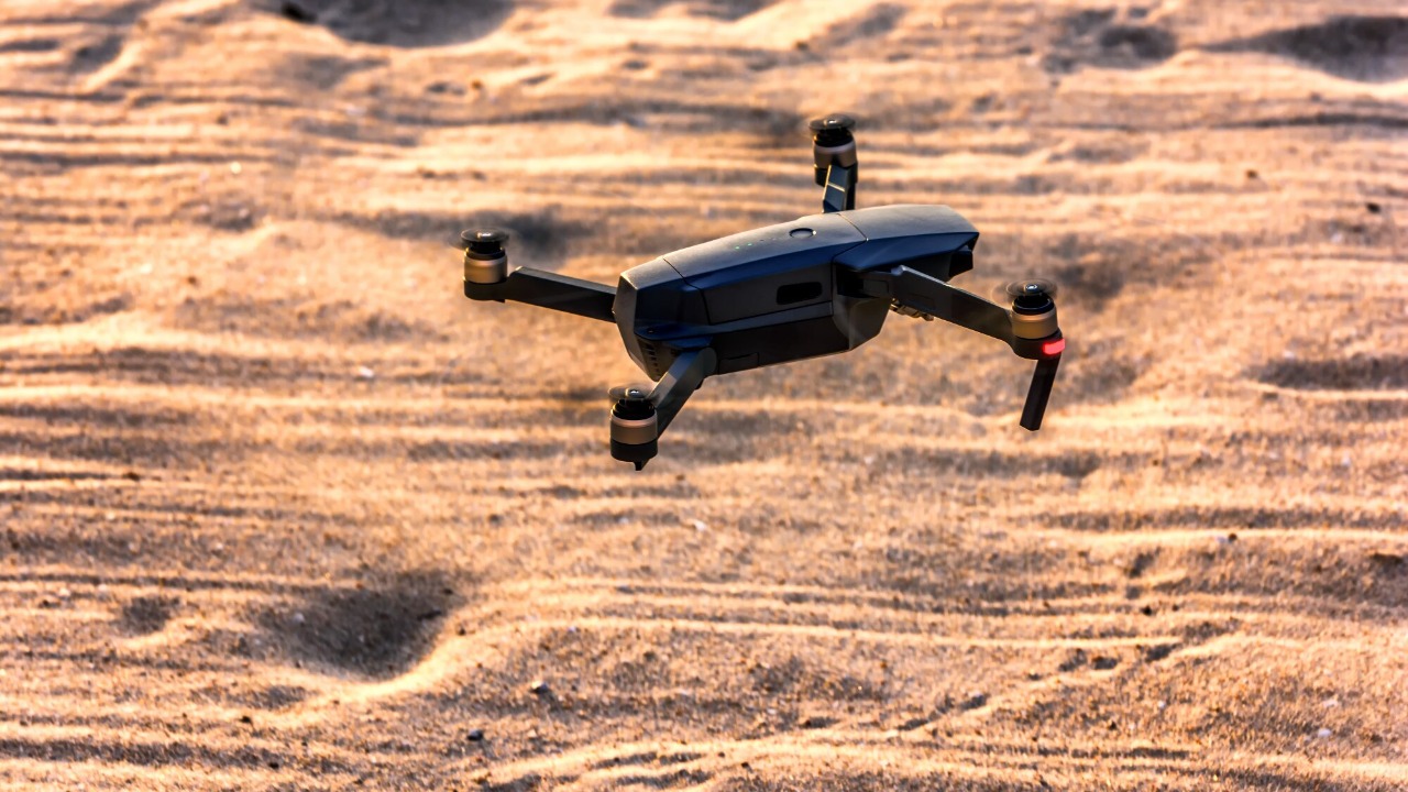
Recent technological advancements have significantly enhanced the capabilities of drones in archaeological research. Equipped with high-resolution cameras and LiDAR systems, drones provide detailed imagery and topographical data that were previously unattainable. These tools allow researchers to detect and analyze structures that lay hidden beneath the desert sands for centuries.
Compared to traditional archaeological methods, drones offer several advantages. They are not only more efficient and cost-effective but also capable of accessing remote or hazardous locations that are difficult for humans to reach. The Springer book chapter on drone applications highlights how drones can survey large areas quickly, providing critical data that would take weeks or months to gather using conventional techniques. Notable case studies include the discovery of ancient road networks in the Arabian deserts and unearthing of geoglyphs in the Peruvian desert, underscoring the vital role of drone technology in archaeological research.
The Desert’s Hidden Patterns
Deserts around the world are home to geometric and artistic marvels, such as geoglyphs and intricate road networks, that are only visible from the sky. These large-scale constructions, often attributed to ancient civilizations, demonstrate an advanced understanding of geometry and landscape management. However, one challenge is distinguishing these man-made structures from natural formations. Experts rely on the unique patterns and alignments of these features, as well as historical context, to identify their origins.
The cultural and historical significance of these discoveries cannot be overstated. They provide valuable insights into the lives and practices of ancient civilizations, revealing how they interacted with their environment. For instance, the Nazca Lines in Peru offer clues to the spiritual and cultural practices of the Nazca people, while the ancient trade routes in the Middle East highlight the region’s economic history.
Environmental and Ethical Considerations
While drone technology offers remarkable benefits for archaeological discoveries, it is important to consider its impact on fragile desert ecosystems. Drones can contribute positively by providing data for conservation efforts, but they can also disturb local wildlife and habitats if not used responsibly. Balancing exploration with environmental preservation is crucial.
Moreover, the ethical use of drone technology in archaeology raises important questions about privacy and the protection of indigenous lands. Regulations and guidelines are essential to ensure that drone operations respect local communities and cultural heritage sites. By adhering to these standards, researchers can ensure that their work is both respectful and beneficial in the long term.