
In the modern world, satellites play a crucial role in our daily lives. From capturing breathtaking images of Earth to monitoring weather patterns, these technological marvels are constantly at work. Let’s explore six satellites that are keeping an eye on our planet right now.
International Space Station (ISS)
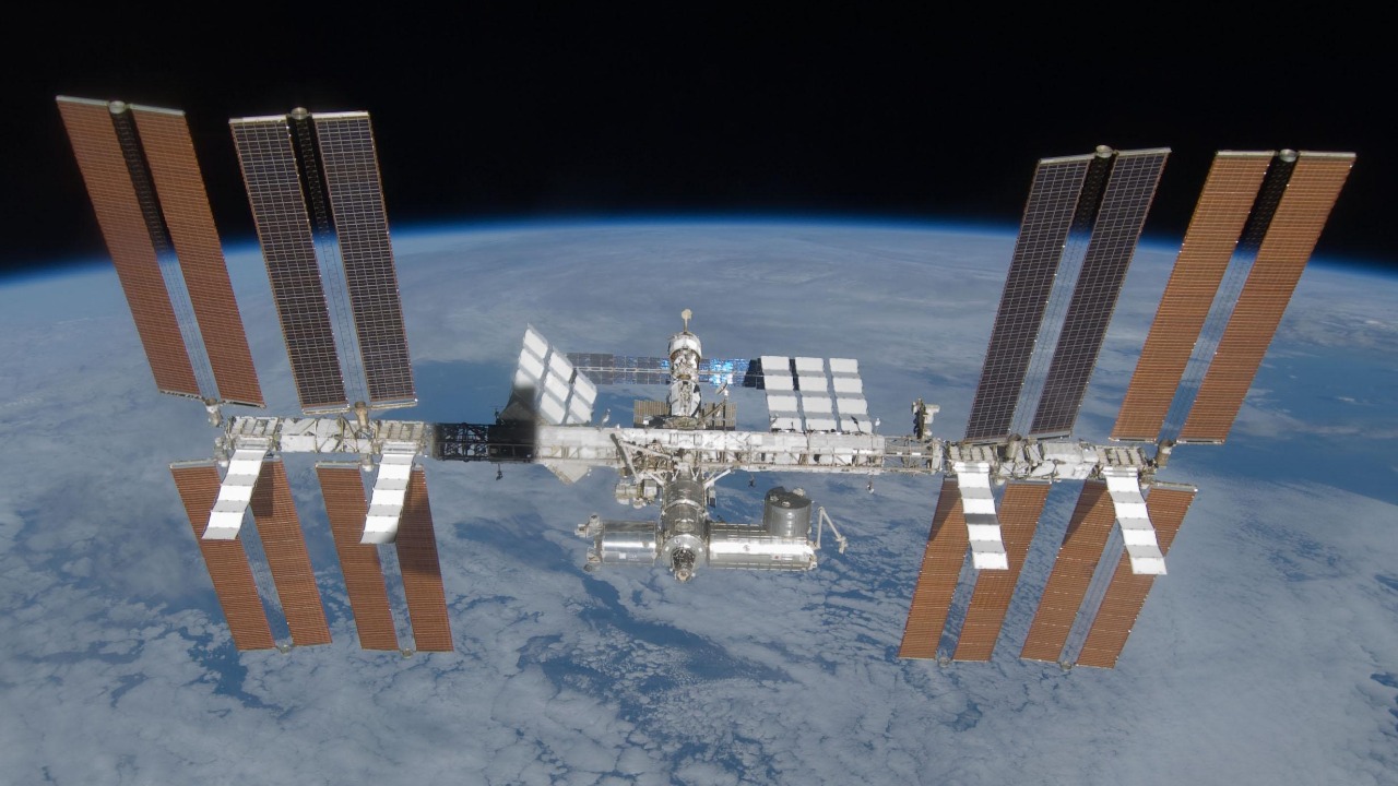
The International Space Station (ISS) is not just a hub for scientific research but also a satellite constantly orbiting Earth. Housing astronauts from around the globe, the ISS provides unique insights into life in space and Earth observations. Its onboard cameras capture stunning images and videos, offering a unique perspective on our planet.
You can even track the ISS in real-time using this handy tool to see when it will pass over your location.
Landsat 8
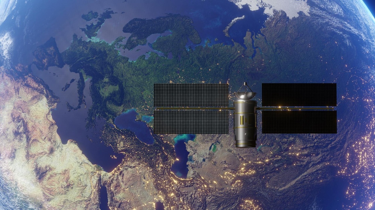
Landsat 8 is part of the Landsat program, a joint initiative between NASA and the US Geological Survey. This satellite captures detailed images of Earth’s surface, contributing to a variety of fields such as agriculture, forestry, and urban planning. Its data is invaluable for environmental monitoring and resource management.
With its advanced sensors, Landsat 8 plays a vital role in understanding how human activity impacts the planet over time.
Sentinel-2
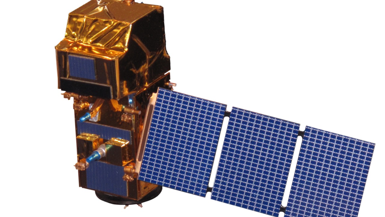
Operated by the European Space Agency, Sentinel-2 is part of the Copernicus Programme, which aims to provide accurate and timely information to manage the environment. It captures high-resolution images in multiple spectral bands, helping with everything from agricultural monitoring to disaster response.
Sentinel-2’s data is open-access, allowing researchers and policy-makers worldwide to utilize its valuable insights.
TerraSAR-X
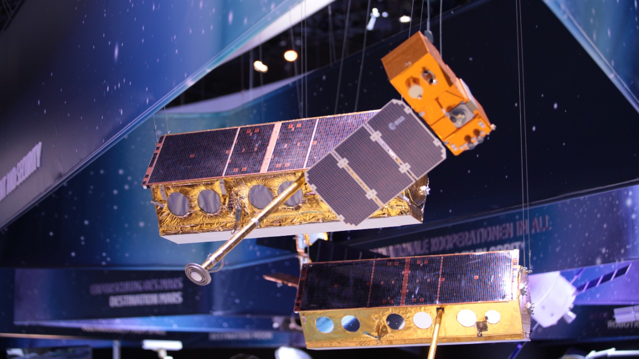
Germany’s TerraSAR-X satellite stands out with its radar imaging capabilities, which allow it to capture detailed images regardless of weather conditions or daylight. This makes it particularly useful for mapping, environmental monitoring, and disaster management.
The satellite’s data supports various applications, including urban development and infrastructure planning. Its ability to penetrate clouds and darkness is crucial for consistent and reliable Earth observation.
WorldView-3
WorldView-3, operated by Maxar Technologies, is a commercial satellite known for its incredibly high-resolution images. Capable of capturing details as small as 31 centimeters, it provides unparalleled clarity and precision.
This satellite is widely used in commercial sectors, including agriculture, mining, and urban planning. For a glimpse into its capabilities, check out this interview with a satellite expert.
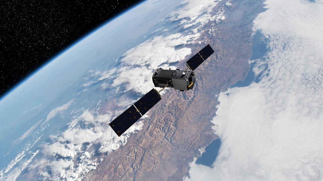
GOES-16
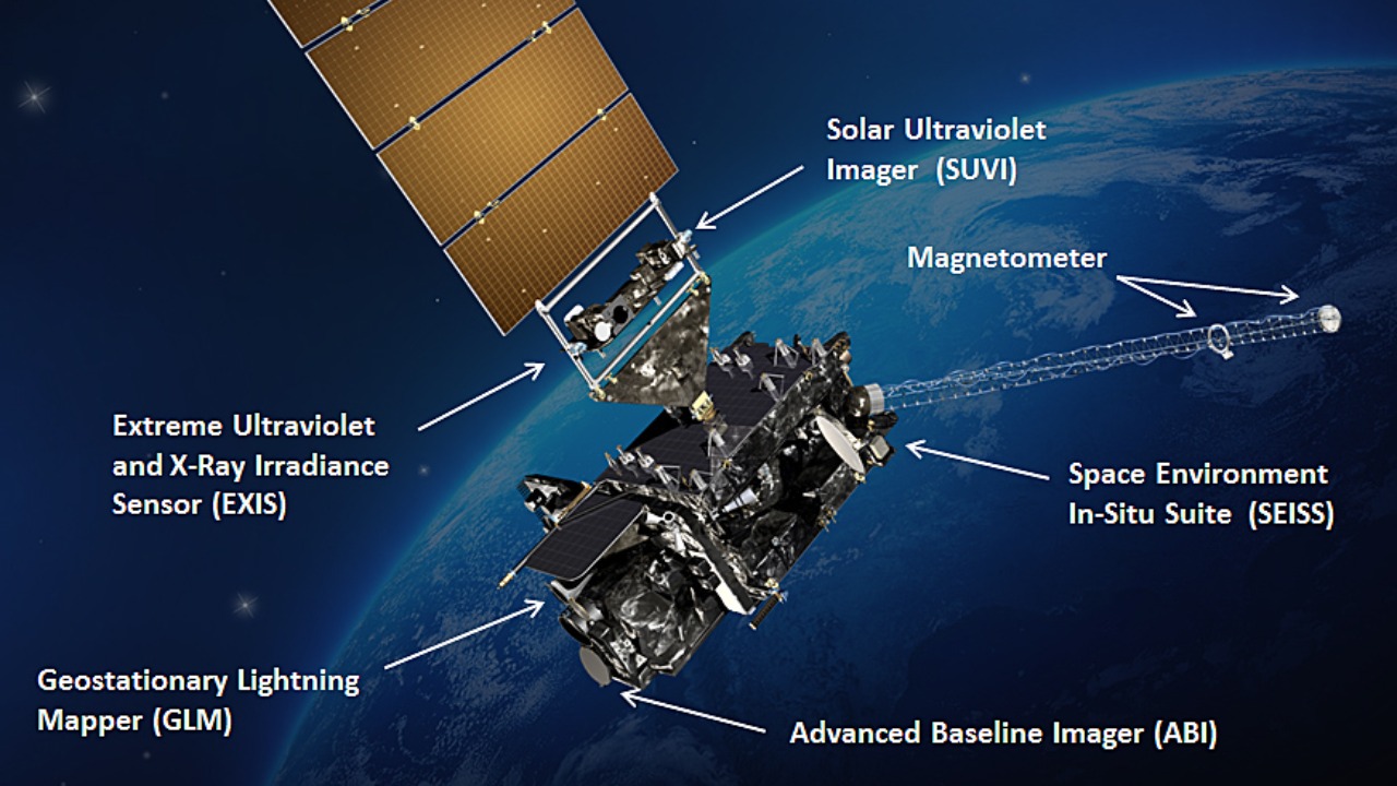
GOES-16 is part of the Geostationary Operational Environmental Satellites program, primarily focused on weather observation. Positioned to monitor the Americas, it provides real-time data crucial for weather forecasting and climate research.
Its advanced sensors offer detailed insights into atmospheric conditions, helping meteorologists predict severe weather events like hurricanes and thunderstorms. Learn more about its impact on weather services in this publication.