
USGS ranks the nation’s most dangerous volcanoes on a Very High threat scale that weighs eruption history, monitoring gaps, and the people living in harm’s way. Most cluster along the Pacific Northwest’s Cascade Range and Hawaii’s active hot spot, where lava, lahars, and ash have already reshaped entire communities. Here are ten volcanoes that USGS watches most closely today.
1. Kilauea: Hawaii’s Restless Giant
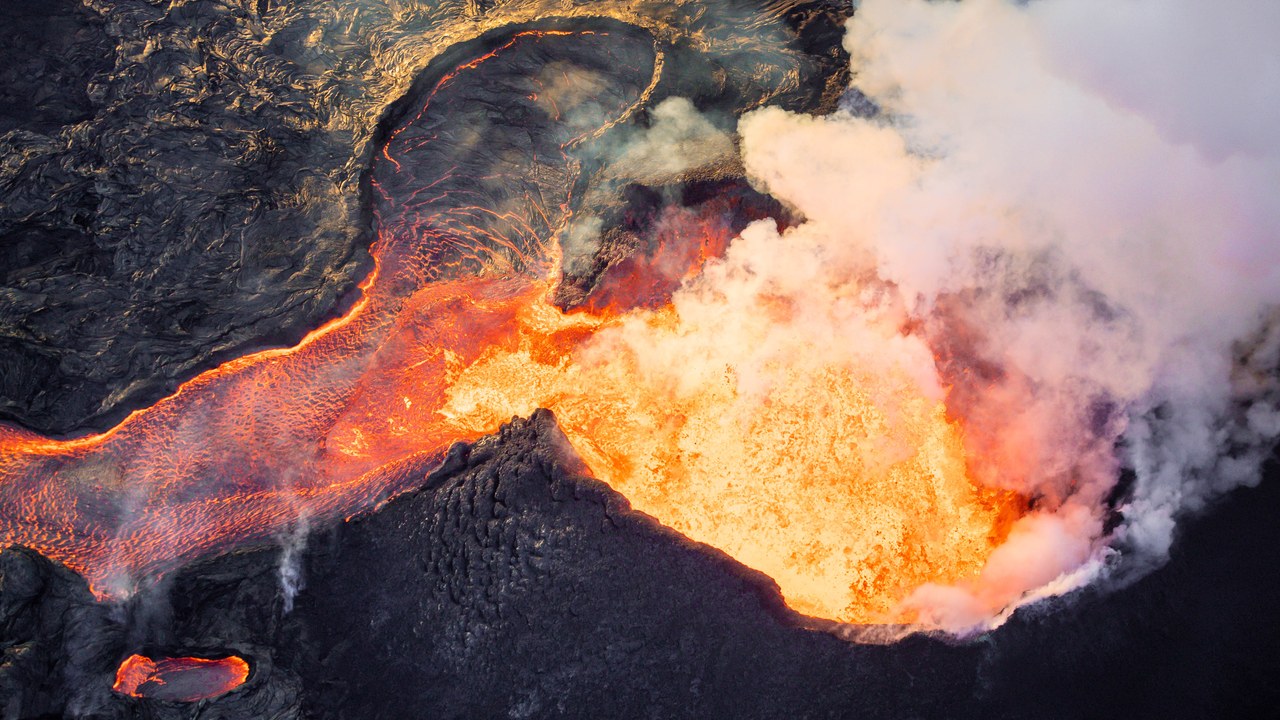
Kilauea holds a Very High threat ranking from the U.S. Geological Survey, a status earned by a long record of frequent, closely watched eruptions. Its 2018 lower East Rift Zone eruption alone released more than one cubic kilometer of lava, enough to bury entire neighborhoods and reshape the coastline.
The outpouring was so severe it caused the volcano’s summit to collapse inward, a change visible from space. Kilauea remains one of the most active volcanoes on Earth, and USGS scientists monitor it continuously for the next episode.
2. Mauna Loa: The Largest Active Volcano on Earth
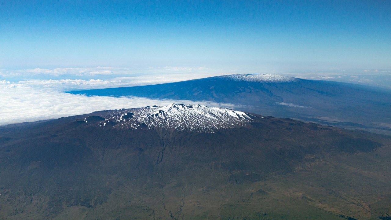
Mauna Loa is the largest active volcano on Earth, and the USGS threat assessment places it in the Very High category alongside Kilauea. Its most recent eruption, in 2022, sent lava flows within 1.7 miles of the Daniel K. Inouye Highway, the main route to Hilo.
That proximity underscored how quickly a Mauna Loa eruption can threaten infrastructure that tens of thousands of residents rely on daily. The volcano’s sheer size means future flows could travel even farther before anyone can react.
3. Mount St. Helens: Most Likely to Erupt Again
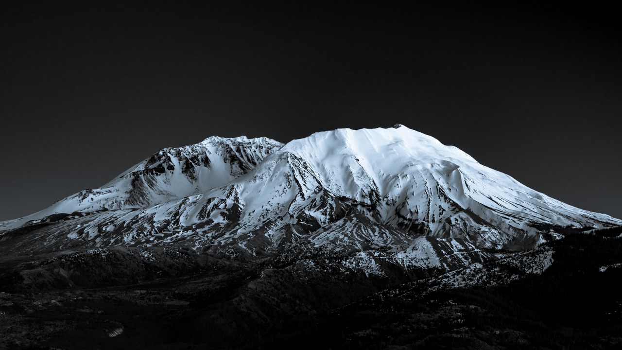
Mount St. Helens is the volcano USGS considers most likely to erupt again among the contiguous United States’ active peaks, according to the agency’s volcano hazards program. Its catastrophic 1980 eruption blew away roughly the top 1,300 feet of the mountain’s summit, permanently altering its once-symmetrical profile.
That blast reshaped the entire landscape, triggered the largest landslide in recorded history, and killed dozens of people, a scale of destruction scientists say could recur. Decades of continued activity since then keep the volcano near the top of every national hazard list USGS maintains.
4. Mount Rainier: The Lahar Threat to Puget Sound
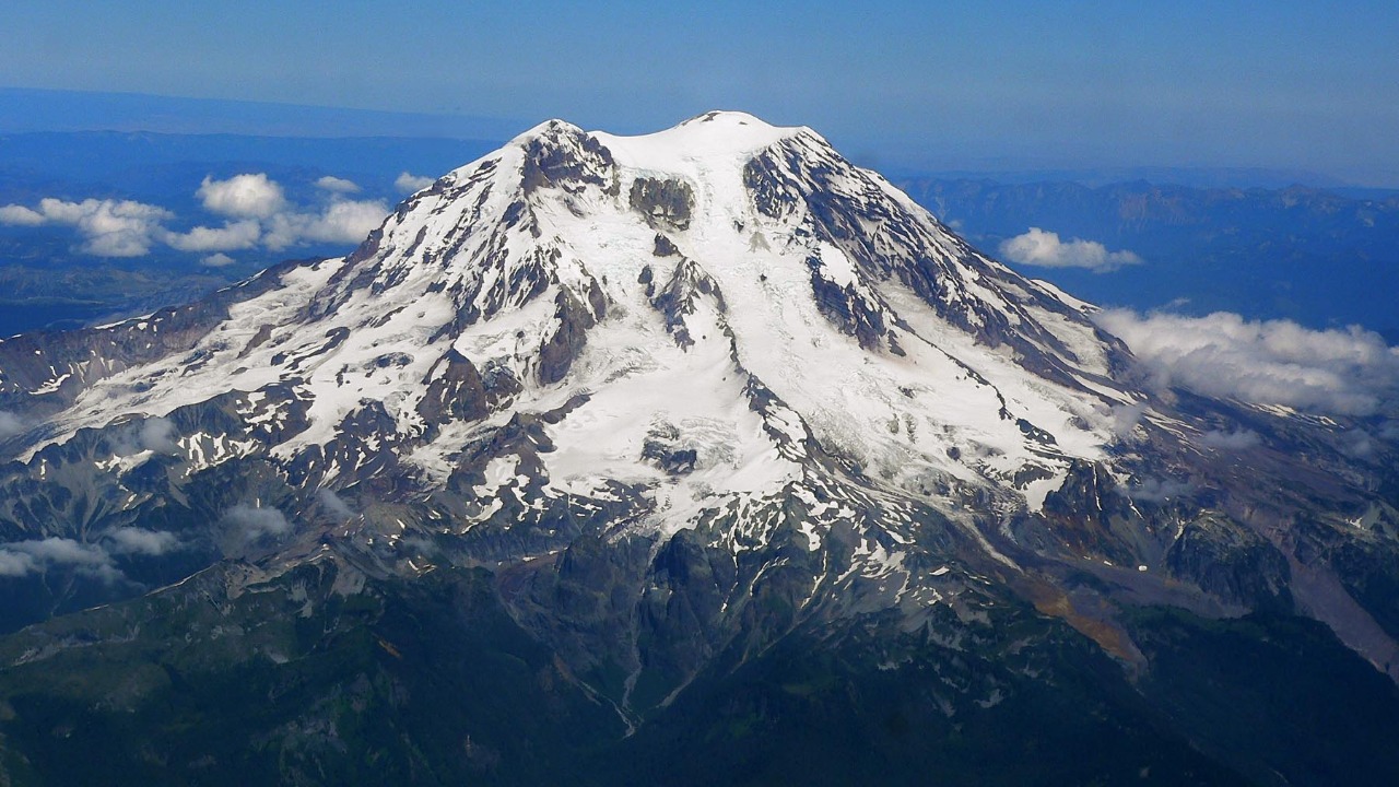
Mount Rainier earns its Very High ranking largely because of lahars, the volcanic mudflows that USGS identifies as the mountain’s greatest hazard. These fast-moving flows of mud, rock, ice, and melted glacier water have historically traveled all the way down to the Puget Sound lowlands, carving paths through valleys now home to entire towns.
That reach puts a densely populated corridor of Washington state directly in the path of future flows, since Rainier carries more glacial ice than any other Cascades volcano. Because lahars can move with little warning, monitoring networks around the mountain focus heavily on early detection and evacuation routes.
5. Mount Hood: Portland’s Watchful Neighbor
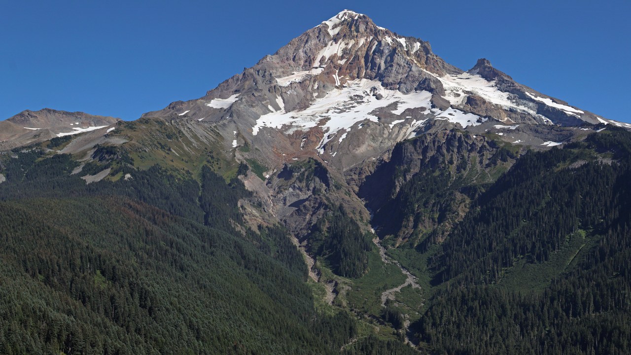
Mount Hood towers over Portland, Oregon’s largest city, giving its Very High threat status direct relevance to hundreds of thousands of residents, per USGS monitoring data. The agency recorded a swarm of small earthquakes beneath the mountain as recently as December 2023.
Such seismic swarms don’t guarantee an eruption, but they are exactly the kind of signal scientists track for early warning. Hood’s visibility from a major metro area makes it one of the most closely watched peaks in the Cascades.
6. Mount Shasta: A Thousand-Year Mudflow Record
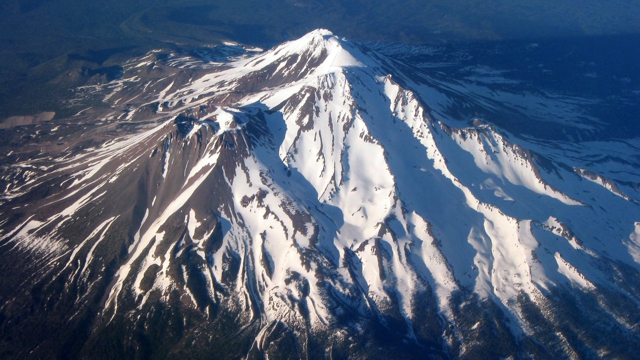
Mount Shasta has sent lahars down its slopes more than 70 times over the past 1,000 years, a frequency USGS records cite as central to its Very High ranking. The towns of Weed, Mount Shasta City, and McCloud all sit within reach of future flows, built into valleys the mountain has repeatedly reshaped.
That repeated history of mudflows, rather than any single catastrophic eruption, is what keeps Shasta on the highest tier of national volcanic hazards. Communities in its shadow remain part of ongoing hazard-planning efforts coordinated with state and federal geologists.
7. Mount Baker: A Monitoring Gap That Worries USGS
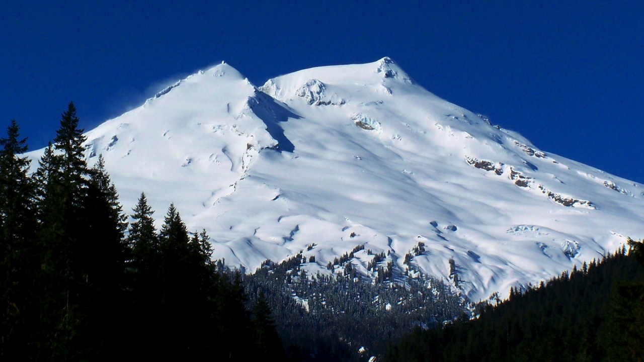
Mount Baker carries a Very High threat ranking even though the USGS says its seismic monitoring network is currently insufficient, with much of the original instrumentation dismantled over time. The volcano last showed renewed activity in 1975-76, when a steam episode dramatically reawakened Sherman Crater near its summit.
That episode proved the mountain isn’t dormant, even during long quiet stretches between eruptions. The monitoring gap is itself a concern USGS flags, since reduced instrumentation means scientists would have less warning before any future unrest at Baker begins.
8. Glacier Peak: The Explosive Peak Near Seattle
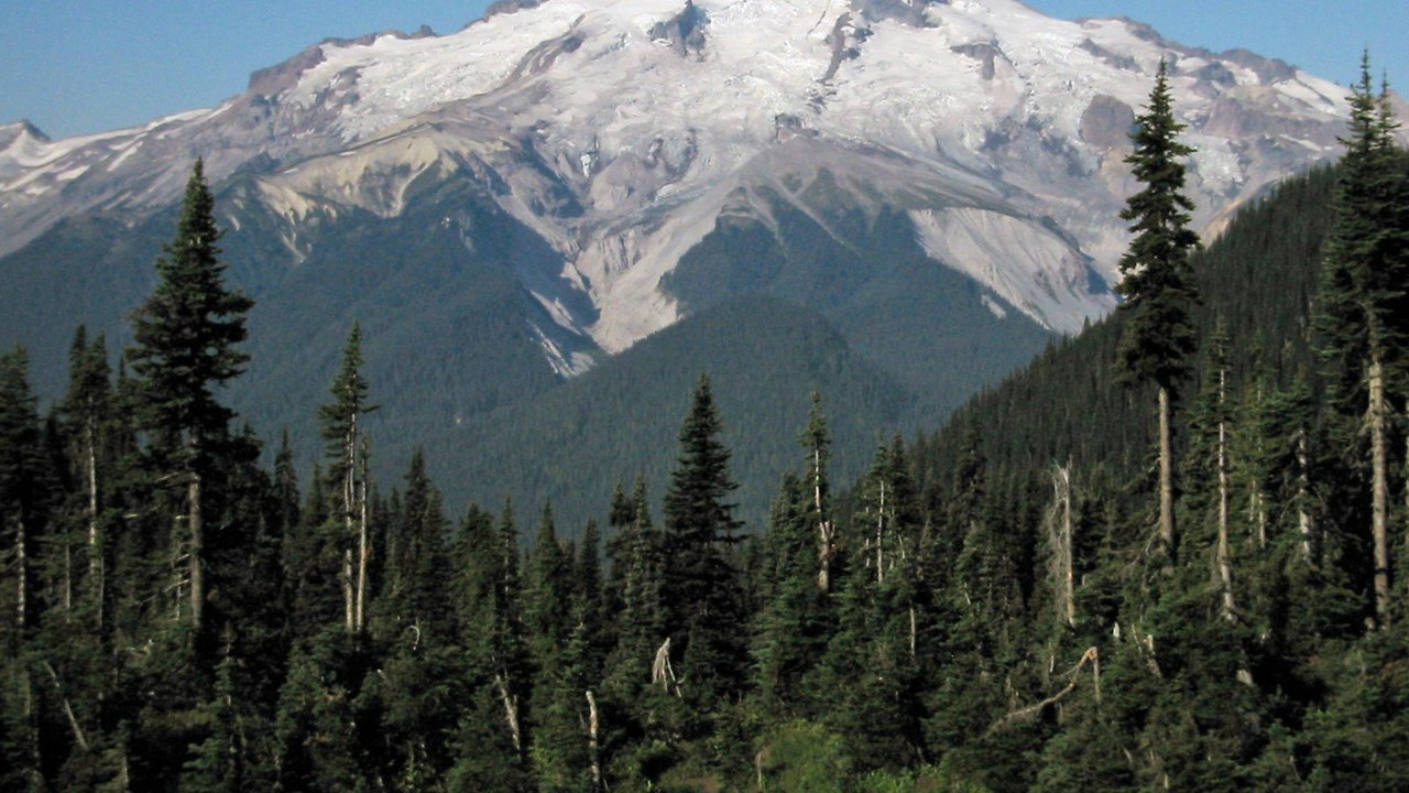
Glacier Peak has produced some of the largest and most explosive eruptions ever recorded in the conterminous United States, according to USGS volcano data. It sits roughly 65 miles northeast of Seattle, closer to a major metro area than its remote profile suggests.
That combination of explosive history and regional proximity is why the volcano carries a Very High threat designation despite receiving far less public attention than Rainier or St. Helens. Scientists continue to study its eruptive record for clues about future behavior.
9. Crater Lake: Born From a Collapsed Volcano
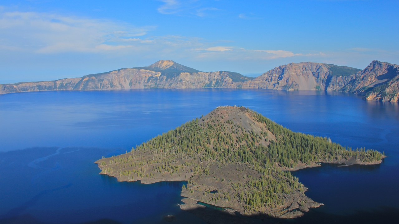
Crater Lake formed after Mount Mazama collapsed roughly 7,700 years ago in an eruption so powerful its pyroclastic flows traveled up to 43 miles down every valley leading from the volcano. Ash from the event reached as far as southern Canada.
The collapse left behind the caldera that now holds the lake, a lasting reminder of the eruption’s scale. USGS still classifies the site as Very High threat because a system capable of that kind of collapse remains geologically active.
10. Three Sisters: The Ground That Keeps Rising
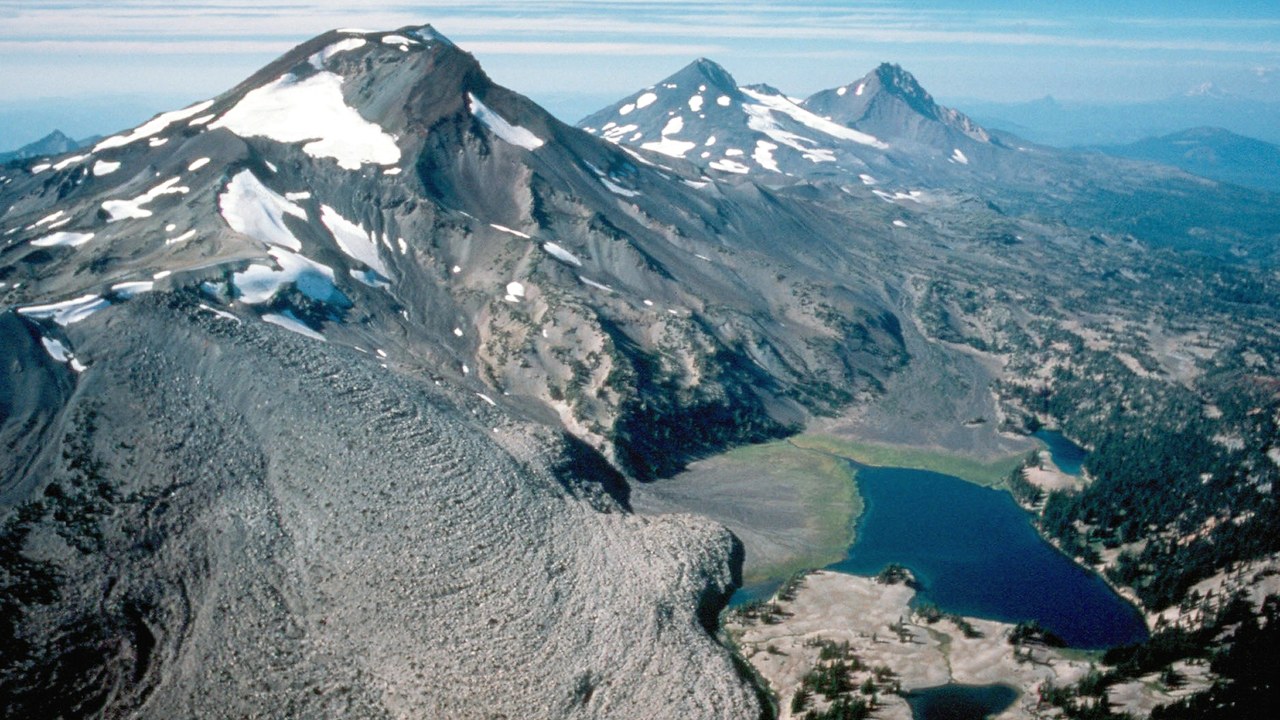
Three Sisters, particularly the ground near South Sister, has been slowly rising since 1997, an uplift USGS has tracked for nearly three decades using satellite and ground-based measurements. The swelling covers a broad area west of the peak and sits close to Central Oregon’s fast-growing resort communities.
That sustained uplift signals magma accumulating somewhere beneath the surface, even without any confirmed eruption timeline or clear sign of imminent activity. Continued growth so near expanding population centers is exactly why USGS keeps the Three Sisters volcanic field under its highest threat classification.
More from Morning Overview
- Herbal supplements are landing Americans in the hospital with liver damage, doctors warn
- General Motors is switching on cameras that record inside your vehicle by update
- A geomagnetic storm is forecast to hit Earth today, pushing the northern lights unusually far south
- A recalled pill hid a stimulant dose linked to heart attacks and death
