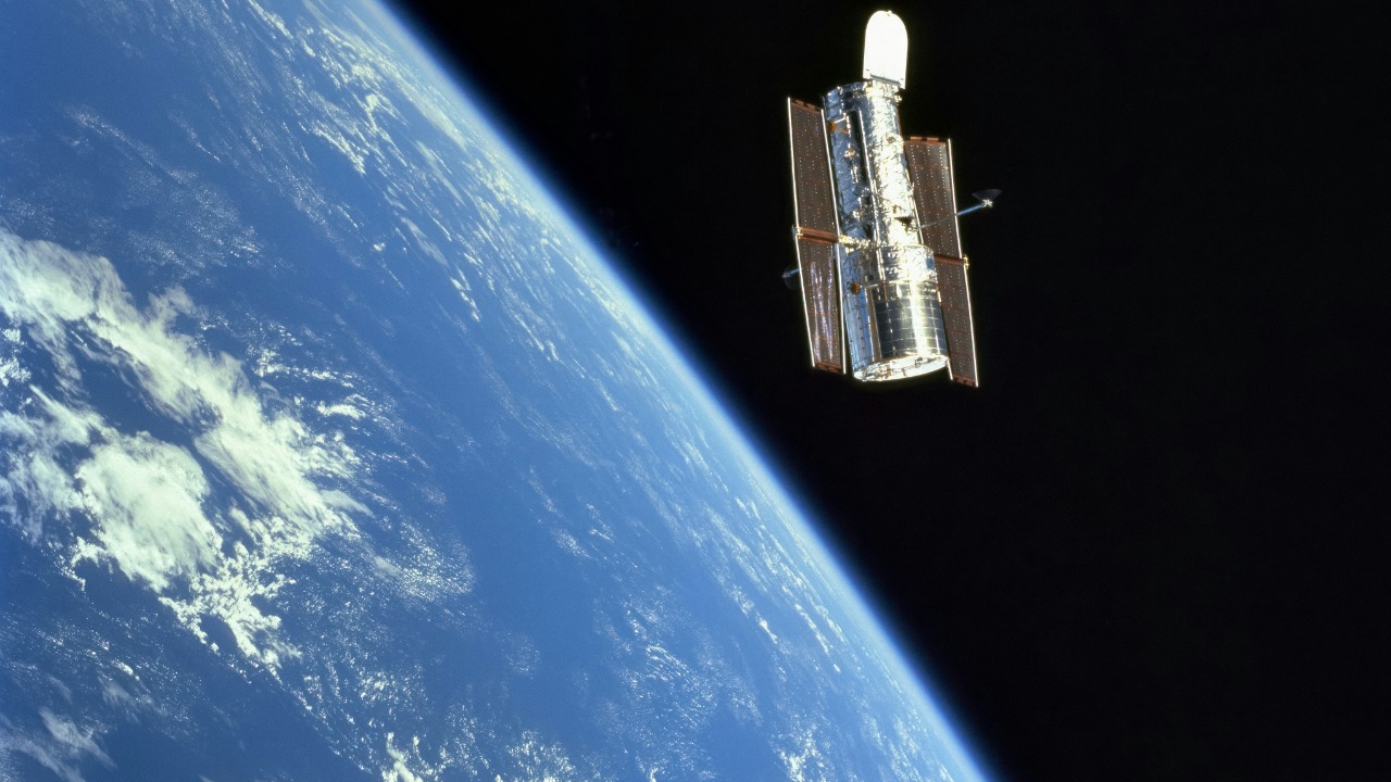
From a few hundred kilometers up, the planet looks calm, a blue marble wrapped in white cloud. The reality that satellites are recording in brutal detail is anything but calm. High above us, a growing fleet of orbiting cameras is watching ice sheets thin, forests vanish, fires rage and even the night sky itself fill with artificial streaks of light.
What satellites are seeing right now is terrifying not because it is abstract, but because it is specific, measurable and accelerating. I see a picture emerging in which climate disruption, ecological loss and technological clutter are all visible at once, pixel by pixel, line by line, in data that is very hard to ignore.
Storms, fires and a planet in fast‑forward
One of the clearest warnings from orbit is how quickly extreme weather is intensifying. Earlier this year, a powerful winter system sweeping across North America was tracked in real time as NOAA satellites watched the storm’s vast cloud shield wrap around the continent and helped forecasters anticipate where it would move. From that vantage point, the storm looked like a swirling white monster, a reminder that a warmer atmosphere is loading familiar weather patterns with more energy and moisture. The same family of instruments, described in broader mission updates on GOES‑R, is now catching rapid intensification of hurricanes and explosive thunderstorm growth that used to be rare, but is starting to look routine.
On the other side of the world, the view is even more visceral. On Jan. 9, 2026, a Sentinel satellite captured a scene over Australia that looked like a war zone, with dark burn scars etched into the landscape and thick smoke plumes streaming away from raging bushfires. A related image set, highlighted as satellites spy raging, shows how entire regions can flip from green to charred in a matter of days. From orbit, the speed of that transformation is unmistakable, and it underlines how hotter, drier conditions are turning once‑seasonal fire into a near‑permanent feature of the landscape.
Ice, oceans and the slow violence of rising seas
If storms and fires are the dramatic front line, the quieter catastrophe is unfolding in the oceans and at the poles. Long‑running satellite records of ice and water levels, curated through portals such as sea level monitoring, show a clear upward trend in global mean sea level as glaciers and ice sheets melt and warmer water expands. The numbers are not speculative; they are derived from radar altimeters that have been passing over the same ocean tracks for decades, measuring changes of just a few millimeters that add up to centimeters and then to the kind of coastal flooding that is already reshaping where people can safely live.
At the same time, high‑resolution imagery from platforms highlighted by the Earth Observatory is documenting the retreat of ice in Greenland and Antarctica, the breakup of once‑stable ice shelves and the spread of melt ponds across surfaces that used to stay frozen. These images are not just pretty pictures; they are data layers that feed directly into models of future sea level and storm surge. When I look at them, I see a slow violence that is hard to perceive from the ground, but brutally obvious from space, where coastlines and ice margins can be compared year on year like frames in a time‑lapse film.
Forests, fault lines and the new precision of disaster
Satellites are also exposing how human activity is stripping away the planet’s natural defenses. Nasa, formally the National Aeronautics and, has used long‑term satellite imagery to show tremendous changes in the Amazon over the last 40 years, with vast areas of forest replaced by roads, farms and bare ground. That same analysis notes the Amazon, and even references to Amazo, as a critical carbon sink whose degradation risks flipping it from a buffer against climate change into a source of additional emissions. From orbit, the patchwork of cleared land and remaining canopy looks like a spreading rash, one that is advancing despite decades of warnings.
At the same time, new generations of radar satellites are revealing the physics of disasters in unprecedented detail. When a huge earthquake struck near Kamchatka, the SWOT mission captured an unprecedented view of the resulting tsunami, mapping the height and structure of the waves across the ocean surface. A related report, introduced with the line Cite This Page, explains how Jan and When the event unfolded, scientists were able to see features in the tsunami that models had not predicted. That level of precision is both reassuring, because it can improve early warning, and unsettling, because it shows how much energy is stored along fault lines that are invisible until they rupture.
Satellites saving us, and satellites crowding out the sky
For all the frightening trends they reveal, satellites are also becoming some of the most powerful tools humanity has to respond. A new radar mission, Launched from Sriharikota in India, known as NISAR, is designed to scan nearly all of Earth’s land surface every 12 days and measure tiny vertical shifts in the ground. That kind of coverage can track everything from subsiding cities to creeping landslides, giving authorities a chance to act before a slow‑motion disaster becomes a sudden one. In parallel, analysts are using Satellite imagery to change the data landscape for everything from crop insurance to corporate supply chains, replacing guesswork with evidence that can be updated as often as new images arrive. Previously, gathering that kind of information would have required heavy, over‑sized equipment on the ground; now it can be done from orbit, at scale.
Yet the very success of satellite technology is creating a new kind of risk. Astronomers have been sounding the alarm that large constellations of bright spacecraft are starting to streak through their images, with early warnings that Marco Langbroek and colleagues in Leiden shared as they tracked the impact of these objects on sensitive observations. A more recent analysis suggests that satellite constellations could obscure most space telescope observations by the late 2030s, with parts of images effectively lost forever. Within that broader concern, one study finds that Amazon internet‑beaming satellites are bright enough to disrupt astronomical research, adding to worries already raised about Starlink and other systems whose Facts are still being gathered. The risk is that in trying to connect every corner of Earth, we may be blinding ourselves to the wider universe.
The view beyond Earth, and what it says about us
Looking outward from orbit also sharpens the contrast between our planet and its neighbors. A widely shared explainer on YouTube walks through how Earth’s thin atmosphere and magnetic field show up in satellite data as shields against radiation and solar wind, protections that Mars largely lacks. In another corner of the solar system, spacecraft watching Mars have documented how global dust storms can engulf the entire planet, with one analysis noting that Sometimes the storms are strong enough to affect the whole planet, visibly changing how Mars appears from Earth, or even from the Eart vantage of orbiting probes. As the dust settles, it can re‑sculpture Mars’ landscape in the process, a reminder that planetary surfaces can be radically reshaped by climate and weather over time.
Those Martian images are not just curiosities. They are a mirror held up to our own trajectory. When I compare the rust‑colored deserts of Mars to the expanding dry zones and burn scars that satellites now see on Earth, I am struck by how quickly a habitable world can be pushed toward something harsher. The Earth science community is using every tool it has to understand and slow that shift, from global mosaics of vegetation to detailed studies of urban heat islands. The terrifying part is that the data from orbit leaves very little room for denial: the trends are written across the face of the planet, in ice and fire and rising seas, and the cameras are still rolling.
More from Morning Overview