A 9.2 megathrust earthquake on the Cascadia Subduction Zone would not just rattle the Pacific Northwest, it would redraw the map of the region and test the limits of modern disaster planning. Scientists now warn that such a rupture could become the largest natural disaster in U.S. history, combining extreme shaking, a towering tsunami and long term land subsidence that would leave parts of the coast permanently lower and more flood prone. I see a growing consensus in the research that the question is not whether this will happen, but how prepared communities will be when it does.
The fault in question stretches from Vancouver Island to Northern California, close enough to major cities that a full margin rupture could turn familiar skylines into search and rescue zones within minutes. New modeling, historical records and even Indigenous oral histories are converging on the same unsettling message: the Pacific Northwest is living on borrowed time above a fault that is fully capable of a 9.2 event.
Inside the fault that could unleash a 9.2 m catastrophe
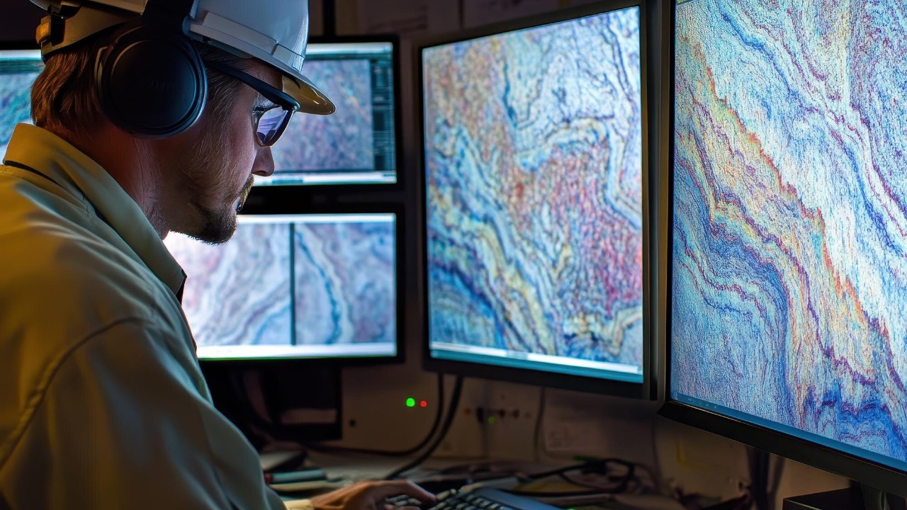
The Cascadia Subduction Zone is a 600 mile long boundary where an oceanic plate dives beneath North America, quietly building strain that can release in a single, continent scale jolt. State emergency planners in Oregon describe it as one of the most dangerous seismic threats in the country, because it sits just offshore of dense population centers yet produces few small quakes to remind people it exists. Historical and geological evidence show that this fault has produced repeated giant earthquakes, and current assessments say Oregon has the potential for a 9.0+ magnitude earthquake driven by this buried plate interface.
Those projections are not abstract. A detailed hazard profile notes that Oregon has the for a 9.0+ event that would send a wall of water racing toward the coast within minutes, leaving little time for evacuation. Native American accounts of shaking and flooding, preserved in stories along the coast, line up with offshore sediment records that point to a massive Cascadia rupture in the early 1700s. When I look at that convergence of science and tradition, it underlines that the region has already endured one full scale megathrust and is likely to face another.
What a 9.2 quake would do to the Pacific Northwest
In the worst case, a 9.2 megathrust would combine intense shaking with a tsunami that strikes the Pacific Northwest coastline in less than half an hour, overwhelming low lying towns and ports. Video explainers on The Cascadia scenario describe how a 9.2 quake and tsunami could devastate the Pacific Northwest, flattening buildings, shredding roads and isolating coastal communities that depend on a handful of bridges and highways. Emergency managers warn that critical lifelines like fuel pipelines, fiber optic cables and interstate rail lines would be severed in multiple places at once.
Scientists now frame a 9.2 m Cascadia rupture as a candidate for the largest natural disaster in U.S. history, with cascading impacts on housing, trade and energy that would ripple far beyond the immediate impact zone. In one widely shared briefing, Scientists warn that the Cascadia Subduct interface is capable of a 9.2 m event that would hit the Pacific Northwest with shaking that lasts several minutes, long enough to collapse unreinforced masonry, damage modern high rises and trigger landslides across mountain valleys. When I weigh those projections against the region’s aging infrastructure, it is hard to avoid the conclusion that recovery would take years, not months.
Land that sinks, water that rises
One of the most unsettling findings in recent research is that the main danger is not only the tsunami, but the way the land itself could drop. Analysts examining Cascadia’s Hidden Risk describe how one earthquake could sink the U.S. Pacific Coastline Beneath Six Feet of Water, not because the ocean suddenly rises, but because the land falls. Beneath the coastal plain, the locked fault would snap, causing broad subsidence that leaves neighborhoods, ports and wetlands at a permanently lower elevation relative to sea level.
That long term drop would dramatically change the region’s floodplain, a point underscored by a study in the Proceedings of the that modeled how a major Cascadia event could reshape river mouths and estuaries. Researchers found that ground level changes would alter where water naturally flows, potentially turning today’s “hundred year” flood zones into areas that flood with every high tide. When I consider that alongside projections of sea level rise, the picture that emerges is a coast where some communities may not be rebuildable in their current locations.
Linked faults and the risk of back to back disasters
The danger does not stop at the edge of the Pacific Northwest. New work suggests that a full margin Cascadia rupture could interact with other major faults along the West Coast, raising the specter of back to back disasters. Researchers examining historical records found evidence that a large offshore event was followed by a second quake up to magnitude 7.9 that affected northern California, a sequence that would cause unprecedented destruction if repeated in today’s built environment.
Other teams are probing how shaking on The Cascadia margin might influence the famous fault that runs through California’s heartland. New modeling shared by The Cascadia subduction zone analysis notes that a magnitude 9 earthquake offshore of California’s North Coast could help trigger a massive quake on the San Andreas, toppling buildings and leaving coastal towns isolated. Complementary work from Oregon State University suggests the Cascadia subduction system may be linked to the San Andreas from Vancouver down to San Francisco, meaning a megaquake in the north could change stress patterns hundreds of miles away. When I connect those dots, the risk map expands from a regional crisis to a West Coast wide threat.
Warnings, timelines and the race to prepare
Scientists are no longer couching their language about Cascadia in gentle hypotheticals. In a widely circulated clip, Scientists have issued a final warning for the Cascadia Subduction Zone, explaining that new data highlighted a clear potential for a major rupture and urging residents to follow official channels for more real time updates. Separate regional briefings emphasize that when the fault eventually ruptures, which scientists predict could happen in the next 50 years, it will devastate communities from coastal fishing towns to inland logistics hubs. The message, repeated in county level planning documents, is that it is not a matter of “if” but “when.”
Local governments are slowly reshaping land use, infrastructure and public education around that reality. County emergency managers describe how they are using updated Cascadia scenarios that run from Vancouver Island to Northern California to plan vertical evacuation towers, relocate critical facilities out of inundation zones and harden bridges that will be needed for relief convoys. Regional scientists interviewed in Dec explained that a megaquake on the Cascadia fault in the Pacific Northwest could even help trigger the San Andreas, a terrifying find that has pushed some California planners to coordinate more closely with their northern neighbors. As I see it, the race now is between the clock on the fault and the pace at which communities can turn these warnings into concrete protections.
More from Morning Overview