Mars is no longer just a blank red canvas for planetary scientists. A new generation of high resolution maps is turning the planet into a detailed treasure chart, highlighting the specific craters, basins, and ancient river deltas where traces of long vanished microbes are most likely to be preserved. Instead of wandering the Red Planet at random, mission planners now have a shortlist of “smart” targets that combine promising geology with realistic engineering.
Those targets are emerging from a simple premise that has guided exploration on Earth for decades: where rivers flow, life follows. By reconstructing the planet’s lost watersheds, cataloging buried lake beds, and tying those maps to rovers and orbiters already at work, scientists are building a practical guide for the next wave of Mars missions that want not just to visit, but to answer the life question decisively.
The case for chasing ancient rivers
If I had to pick one organizing principle for the new Mars search strategy, it would be this: follow the water, but do it with the precision of a hydrologist. Researchers now argue that the best places to hunt for ancient biology are not just any wet spots, but the largest, longest lived river systems that once crisscrossed the planet. On Earth, sprawling river networks carve through many rock types, concentrate nutrients, and deliver fine sediments into basins where organic material can be buried and protected, a pattern scientists see as a template for what might have happened on Mars as well.
Recent work shows that Mars once had sprawling river systems that rivaled major watersheds on Earth, with valleys, deltas, and sediment fans that would have been prime real estate for microbes when the climate was warmer and wetter. Those ancient channels are now dry scars, but their geometry still records where water pooled, how long it lingered, and where fine grained muds, the kind that can trap organic molecules, were most likely to accumulate. The emerging consensus is that if life ever took hold on Mars, the fingerprints are most likely to be locked in the sediments of those long dead rivers and the basins they fed.
Megabasins: the new Martian treasure map
The most dramatic advance in this river first strategy is a global reconstruction of what scientists call “megabasins,” the enormous drainage areas that once collected runoff across the Martian highlands. Instead of treating each valley network as an isolated curiosity, the new mapping stitches them together into continent scale watersheds, revealing where water, sediment, and potentially life would have converged. It is the difference between looking at a single creek and understanding the entire Mississippi system.
On Earth, large scale river systems are biodiversity hotspots, places where water flows through diverse rock types and creates a mosaic of habitats, and researchers argue that the same logic should guide the search for fossils on Mars. A detailed analysis of these Martian megabasins shows that only a handful of them account for a surprisingly small fraction of the planet’s surface, yet they would have captured a disproportionate share of the runoff and sediment. One study notes that Despite their small footprint, those few Martian basins may hold up to 15 percent of the total valley network drainage area, making them especially attractive as “smart” landing zones where the odds of encountering preserved biosignatures are naturally amplified.
How Earth’s rivers taught us to read Mars
The leap from pretty pictures of Martian valleys to a quantitative treasure map came from treating Mars like a field site on Earth. Planetary scientists borrowed the same tools hydrologists use to analyze terrestrial watersheds, then applied them to digital elevation models of the Red Planet. That meant tracing every visible valley, calculating how water would have flowed downhill, and grouping those flows into coherent drainage basins that could be compared directly with familiar systems back home.
One benchmark that keeps surfacing in this work is Texas’ Colorado River basin, which just barely qualifies as large at 103,300 square kilometers. When scientists stack Martian basins against that yardstick, they find several that are comparable or larger, implying that ancient Mars supported river systems on the scale of the Colorado River itself. By tracking not only where the water would have flowed but also where the sediment ended up, the mapping highlights specific deltas and terminal lakes that would have been natural settling ponds for organic rich mud, the kind of deposits that rovers and landers can realistically drill and sample.
Nineteen clusters and sixteen prime targets
The megabasin work dovetails with another global survey that groups Mars’ ancient waterways into a set of discrete clusters. Instead of a random scatter of valleys, the planet turns out to host a network of related systems, each with its own lakes, canyons, and sedimentary sinks. For mission planners, that clustering is a gift, because it allows them to focus on a manageable number of regions that combine geological diversity with a high probability that water once flowed, pooled, and left behind layered rocks.
In one widely discussed analysis, Researchers identified 19 clusters of valley networks, streams, lakes, canyons, and sediment deposits on Mars, then flagged sixteen of them as especially promising for preserving signs of ancient life. Those sixteen are not just wet looking; they also show evidence of long lived lakes, repeated flooding, or thick sediment piles that could have shielded organic material from radiation. As one commentator put it, the message is simple: if you want to maximize your odds of finding something interesting, you go where the planet’s own plumbing system naturally concentrated water and mud.
Oxia Planum and the Rosalind Franklin Rover
Some of the smartest targets are already baked into mission plans. Oxia Planum, a low lying plain rich in clay minerals, has been selected as the landing site for the ExoMars Rosalind Franklin Rover, and it sits squarely within one of the mapped ancient drainage systems. High resolution work on this region shows a complex history of water activity, with layered sediments, channels, and mineral signatures that point to long term interaction between rock and liquid water rather than a single catastrophic flood.
To prepare, scientists have built a detailed geological map of Oxia Planum, drawing on a team of European researchers who cataloged everything from ancient shorelines to potential hazards for the lander. At the Joint Meeting of the Europlanet Science Congress and the Division for Planetary sciences, a pair of new studies argued that the site may be especially rich in clues about ancient Mars life, because its clay rich layers could have locked away organic molecules in much the same way as mudstones on Earth. For a rover designed to drill below the surface and analyze samples on site, that combination of mapped river history and favorable mineralogy makes Oxia Planum one of the most surgically chosen landing zones in planetary exploration.
Argyre basin and other deep sinks
While plains like Oxia Planum offer accessible sediments, some scientists are looking to the planet’s deepest basins as potential vaults for biosignatures. In the southern hemisphere, a vast depression known as Argyre has emerged as a particularly intriguing candidate. Its topography suggests it once hosted a large lake or even an inland sea, fed by multiple inflowing valleys that would have delivered sediment and any organic material eroded from the surrounding highlands.
One early study argued that An enormous basin in the southern hemisphere of Mars might be the best place to search for signs of past and present life, precisely because it acts as a catchment for a “large collection of special environments” where water could have persisted. The argument is straightforward: deep basins are natural endpoints for rivers, so they accumulate thick stacks of sediment that can bury and protect organic material from harsh surface conditions. In a world where landing on steep crater walls is risky, broad basins like Argyre offer a compromise between scientific payoff and engineering feasibility.
Perseverance, Jezero, and the sample return dilemma
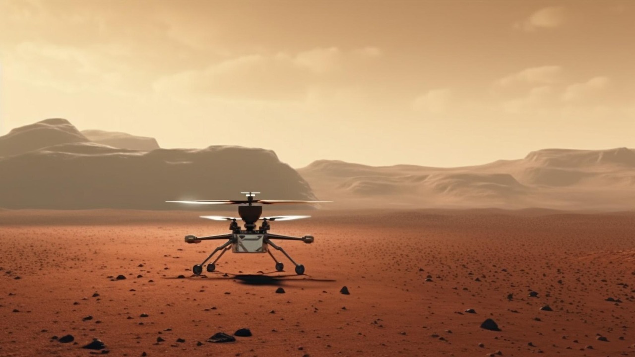
No discussion of smart hunting grounds would be complete without Jezero crater, where NASA’s Perseverance rover is already trundling across an ancient river delta. Jezero sits at the mouth of a long valley system that once funneled water into a standing lake, leaving behind layered deposits that look uncannily like terrestrial deltas. For the past several years, Perseverance has been drilling cores from these rocks and caching them in sealed tubes, betting that this ancient river mouth is one of the best bets for preserved organics on the planet.
Those samples are meant to be the centerpiece of Mars Sample Return, a campaign that has become both a scientific priority and a budgetary headache. NASA has already announced that it will explore two landing options for bringing those cores back, with NASA Headquarters emphasizing that the goal is to return tubes containing samples from Mars, as collected by NASA’s Perseverance Mars rover, so scientists can study the Red Planet’s geology and, ultimately, ourselves. Yet as costs rise and timelines slip, the pressure is growing to ensure that Jezero really is one of the smartest places to have invested this effort, a judgment that the new megabasin maps tend to support by confirming that Jezero sits within a major ancient drainage system.
What Perseverance is already telling us
While the politics of sample return play out, Perseverance is quietly rewriting the story of its landing site. Earlier work in the crater’s “Margin Unit” revealed rocks that formed from magma that slowly cooled into igneous rock, a surprise in what was expected to be a purely sedimentary environment. According to a New science paper described as detailing what Perseverance discovered in the Margin Unit, that igneous basement provides a kind of clock, allowing scientists to date the overlying sediments and pin down when water flowed through the delta.
That context matters for the life hunt, because it helps constrain how long Jezero’s lake existed and whether conditions were stable enough for microbes to gain a foothold. Long lived lakes with repeated flooding cycles are better bets than short lived ponds. Combined with the broader megabasin mapping, which shows Jezero as part of a larger network of valleys and basins, these findings strengthen the case that the crater is not just photogenic but scientifically optimal as a sampling site. In other words, the rover is already ground truthing the logic behind the new treasure maps.
From Viking to today’s biosignature playbook
The push to map “smart” targets is also a reaction to past frustration. From Viking landers in the 1970s to more recent rovers, Mars missions have chased tantalizing chemical hints without ever delivering a consensus detection of life. As one overview put it, From Viking to Perseverance, scientists have spent decades chasing chemical hints that could point to life beyond Eart, only to find that ambiguous chemistry and harsh surface conditions make interpretation difficult.
That history has pushed the community toward a more disciplined biosignature playbook, one that emphasizes context as much as detection. Instead of asking instruments to sniff out life in any random soil, the new strategy is to target environments that, on Earth, are known to preserve fossils and organic molecules, such as river deltas, lake beds, and fine grained mudstones. The megabasin maps, the Oxia Planum surveys, and the focus on deep basins like Argyre are all expressions of that shift. They are attempts to stack the deck in favor of clear, interpretable signals by going where the geology and hydrology say the odds are highest.
Orbiters, twin satellites, and the atmospheric backstory
Smart surface targets are only half the story. To understand whether Mars ever had the right conditions for life, scientists also need to know how it lost its thick atmosphere and surface water. That is where a new generation of orbiters and small satellites comes in, designed to probe the planet’s upper atmosphere, magnetic environment, and escape processes in unprecedented detail. The goal is to tie the story of rivers and lakes to the larger climate evolution of the planet.
One upcoming mission will ride to space on a New Glenn rocket, with a pair of small spacecraft that will first loiter near Earth before heading to Mars. According to mission plans, In late 2026, when the next Mars transfer window opens, the satellites will depart L2, briefly swing back by Eart, and then head for the Red Planet to begin their core science mission. In parallel, NASA’s new Mars ( the Red Planet ) mission with twin satellites is designed to reveal how the Red Planet lost its atmosphere, giving scientists a better sense of when surface conditions shifted from habitable to hostile. That atmospheric backstory will feed directly into models that predict when rivers could flow and how long lakes like those in the mapped megabasins might have persisted.
Local experts and the human factor
Behind the maps and missions are individual scientists whose careers have been shaped by the Mars life question. At the University of Iowa, for example, planetary researcher Valerie Pyre has been highlighted for her role in multiple space missions and her focus on regions that are “truly remarkable” for preserving signs of past habitability. In a recent segment, a host noted that she especially has been involved in many space missions, with Dr Valerie Pyre working on a place that is truly remarkable, underscoring how much of the mapping work depends on specialists who can read subtle clues in orbital data.
These human stories matter because they shape which parts of the treasure map get circled in red. Different teams bring different intuitions about what counts as a promising environment, whether that is a clay rich plain like Oxia Planum, a deep basin like Argyre, or a delta like Jezero. The emerging consensus around megabasins and clustered river systems reflects years of debate and cross comparison, as experts like Pyre, hydrologists who cut their teeth on Earth rivers, and mission engineers who worry about landing safety all negotiate where to send the next billion dollar robot.
Where rivers flow, missions follow
Stepping back, the new mapping work has changed how I think about Mars exploration. It is no longer a story of isolated “interesting” craters, but of a planet wide hydrological system that once rivaled Earth’s. As one evocative line put it, Where rivers flow, life follows
That rationality is crucial as budgets tighten and expectations rise. With Mars Sample Return under scrutiny, new rovers like Rosalind Franklin waiting in the wings, and orbiters poised to fill in the atmospheric story, there is little appetite for shots in the dark. Instead, the smartest places to hunt for ancient Mars life are being chosen the way a seasoned field geologist would choose an outcrop on Earth: by reading the landscape, following the rivers, and going where the planet itself has done the hard work of concentrating the evidence.
More from MorningOverview