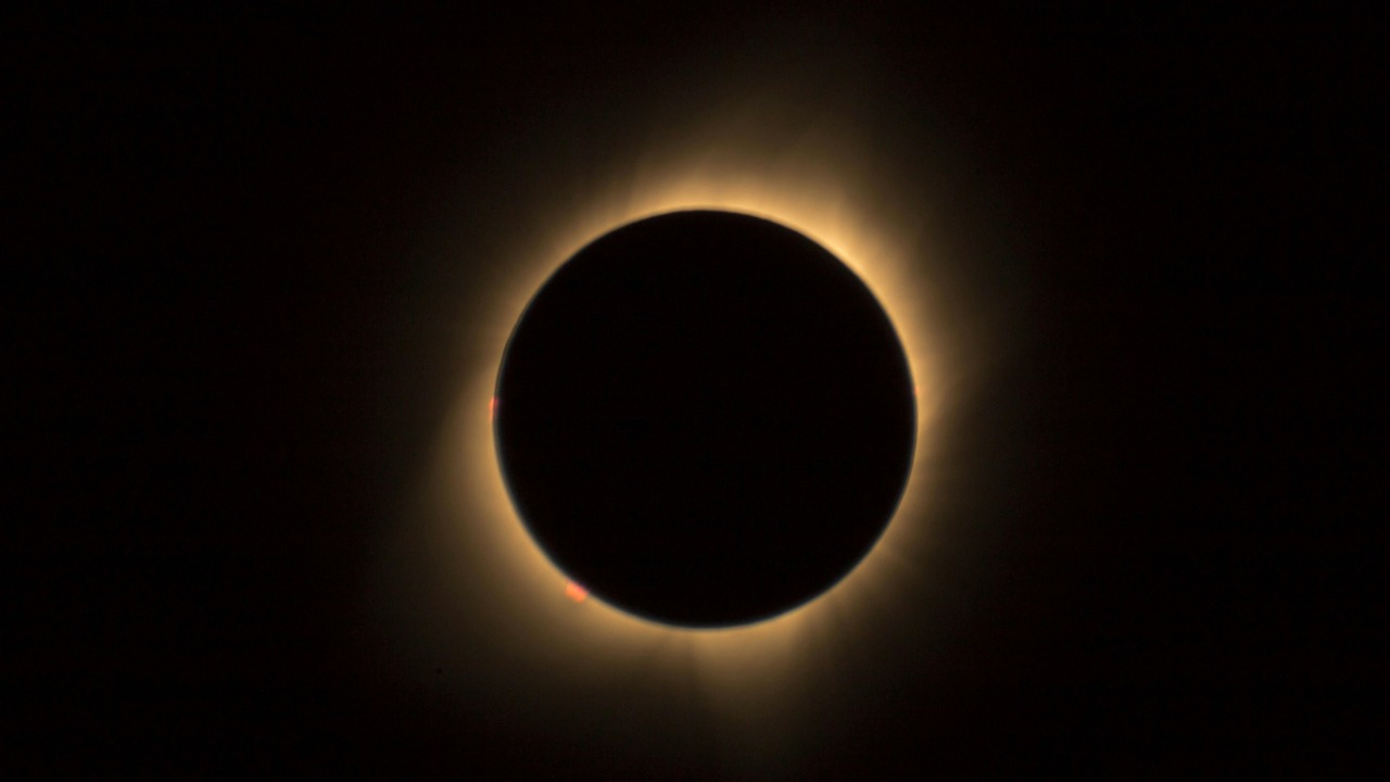
Popular solar eclipse tracking maps, such as those used for the April 8 total solar eclipse, have been found to be inaccurate along the edges. This has led to potential misguidance about the visibility of totality in certain locations, including parts of North America. New calculations released around March 30, 2024, have suddenly rendered many existing maps incorrect by adjusting the precise path of totality. Scientists are now urging the public to verify their locations with interactive tools to ensure accurate tracking, especially after these refinements raised concerns about popular maps being off by small but critical margins.
Why Traditional Eclipse Maps Fall Short
Most solar eclipse maps simplify the path of totality into straight lines or broad zones. This leads to errors along the edges where partial eclipses blend into total ones. This issue was highlighted during the coverage of the April 8 solar eclipse. Static maps also have limitations in accounting for Earth’s curvature and atmospheric refraction, which can cause discrepancies in the viewer experience at borderline locations. Furthermore, many maps do not update for refined astronomical data, resulting in outdated predictions for eclipse timing and coverage.
Recent Discoveries in Eclipse Path Calculations
New calculations announced around March 30, 2024, altered the total solar eclipse map by shifting the path slightly. This was due to improved satellite and ground-based observations. Organizations like NASA drove these updates, revealing that popular maps were off by up to several kilometers in some areas. This affected planning for the 2024 event. Scientists have noted that these inaccuracies could leave edge viewers missing full totality, highlighting why such refinements are necessary.
The Specific Issues with the 2024 Solar Eclipse Maps
Reports from April 2, 2024, stated that April 8 solar eclipse maps were incorrect along the edges, particularly in regions like the central U.S. where the duration of totality varies sharply. Concerns were raised on April 7, 2024, about the path of totality based on NASA’s updated map, which showed deviations impacting locations from Texas to Maine. These map errors stemmed from initial projections not incorporating the latest lunar orbit data, leading to revised expectations for eclipse visibility.
Finding Reliable Alternatives to Faulty Maps
Interactive tools are superior options for tracking solar eclipses. These tools allow users to input exact locations for personalized eclipse predictions. Real-time apps and websites that integrate the March 30, 2024, calculation updates provide precise totality times and partial eclipse percentages. It is advisable to cross-verify with multiple sources to avoid relying on any single outdated map, with emphasis on tools vetted by astronomical societies.
Using Interactive Maps for Accurate Tracking
An interactive map was launched around April 4, 2024, designed to track the eclipse to specific user locations. It offers zoomable views of the path across North America. To use such maps, users can enter coordinates or addresses to see customized totality maps, avoiding the edge inaccuracies of static versions. These tools incorporate the latest refinements, ensuring users in areas like the Midwest get exact timings rather than generalized zones.
Expert Guidance on Verifying Eclipse Paths
Scientists from April 7, 2024, reports recommend using NASA’s official resources over popular media maps to confirm the adjusted path of totality for the 2024 eclipse. Observing local topography and weather factors that maps often overlook can further skew edge predictions. Preparing with binoculars or apps that simulate the view is suggested, based on the understanding that even small map errors can mean missing the corona’s full display.
More from MorningOverview